Plizio Visual Lab
El Realejo
ℹ️Practical info — El Realejo
▾
🌤 Weather — 5 days
📍 Nearby
Sights nearby
💡 Tips
- Explore the ruins of the San Francisco convent for a glimpse into the town's colonial past.
- Hire a local fisherman for a quiet boat tour through the extensive mangrove forests.
- There is very little tourist infrastructure, so bring your own water and snacks for the day.
- The midday sun is punishing; sunscreen and a wide-brimmed hat are completely essential.
🍽 Food
Fried fish, best eaten at the simple, rustic eateries directly on the waterfront.
A popular salad made of yucca, pork rind, and cabbage, often served on a banana leaf.
Tortilla with local cheese, pickled onions, and cream; a classic Nicaraguan snack.
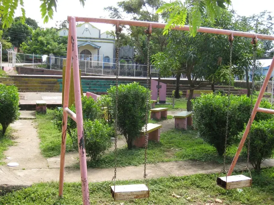
🛍 Shopping · 🧘 Quiet spots
Buy the fresh catch of the day straight from the returning fishermen at the docks.
Traditional street sweets sold by roaming vendors around the village.
The silence on the branching waterways of the mangroves is absolutely relaxing.
Peaceful and somewhat enchanted remains of the port's former glory.
Water temperature…
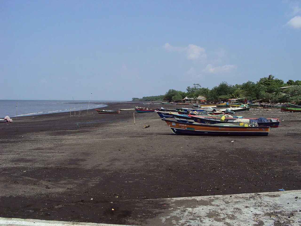
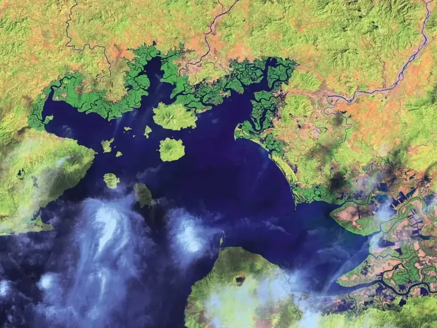
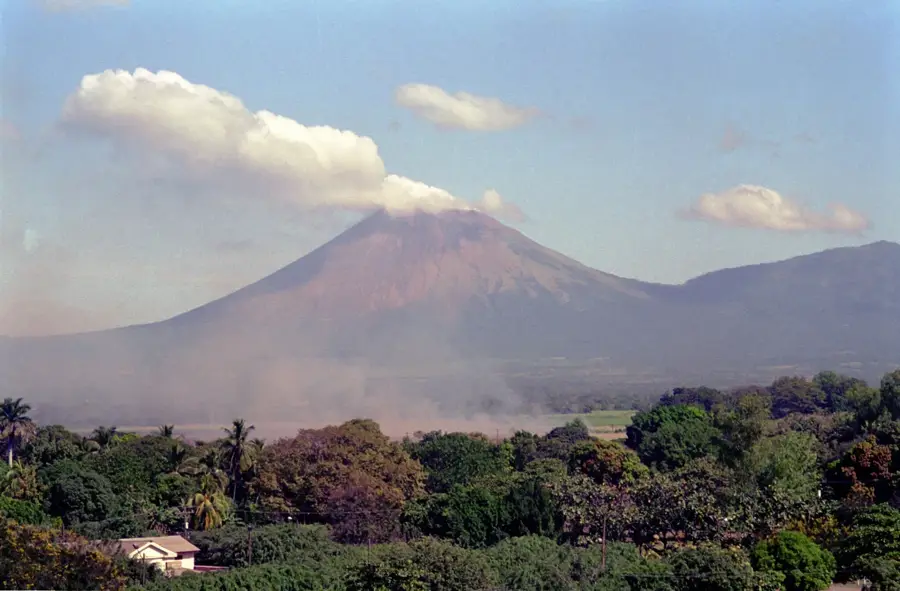
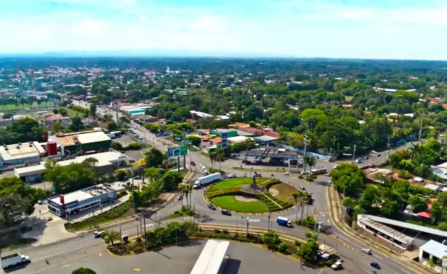
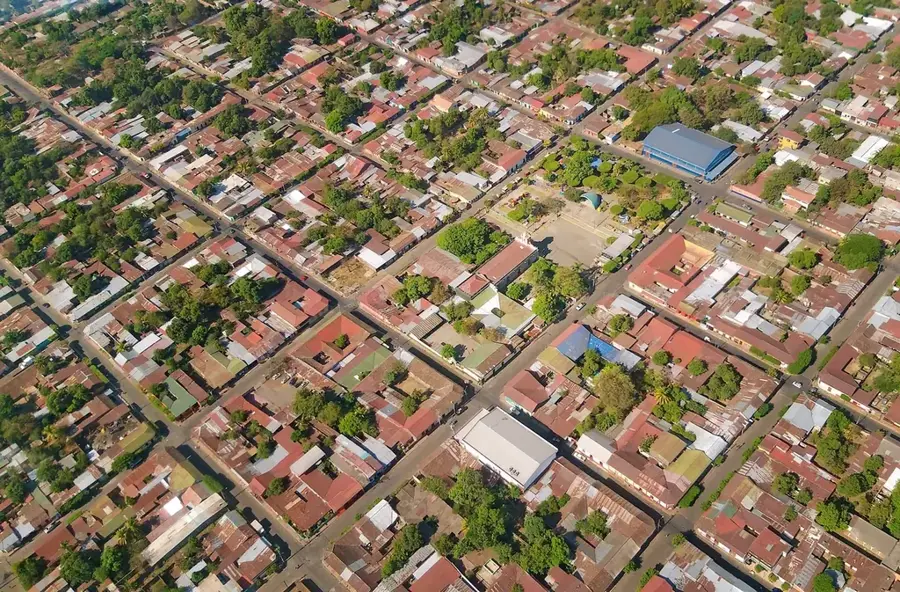
El Realejo is one of Nicaragua's most historically significant locations, serving as one of the most important Pacific ports during the Spanish colonial era. Founded in 1532, it acted as a strategic gateway for Spanish conquistadors and a center for shipbuilding, as the surrounding lands were rich in high-quality hardwoods. The town experienced a golden age but was repeatedly victimized by devastating pirate attacks in the 17th century, which eventually led to its decline. The ruins of the San Benito church, now a protected historical monument, bear witness to the settlement's former splendor. Geographically, El Realejo is located on an estuary arm of the Pacific, surrounded by mangrove forests. Today, the municipality is a quiet place living off fishing and small-scale agriculture, while its historical heritage increasingly attracts tourist interest.
- Location: Nicaragua
- Nearby: Poneloya (13 km)
- Population: ~6.208 (2026)
Best time to visit & climate
The most pleasant time to visit is Jan, Feb, Dec.
| Jan | Feb | Mar | Apr | May | Jun | Jul | Aug | Sep | Oct | Nov | Dec | |
|---|---|---|---|---|---|---|---|---|---|---|---|---|
| Avg °C | 28 | 29 | 30 | 31 | 29 | 28 | 28 | 29 | 28 | 27 | 27 | 27 |
| Rain mm | 2 | 2 | 8 | 35 | 216 | 229 | 114 | 173 | 299 | 294 | 68 | 10 |
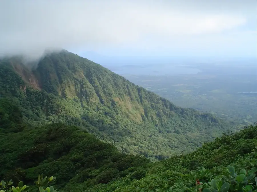
Geography
Facts
- El Realejo was founded by the Spaniards in the year 1532.
- The port was a central jumping-off point for the conquest of Peru.
- In 1685, the town was plundered and burned by the pirate William Dampier.
- The ruins of the San Benito church date back to the 16th century.
- The municipality is located in the Chinandega department, near the city of Corinto.
- Mangrove forests cover approximately 30% of the municipal territory.
Explore nearby
Notable places around
Route planner — Car & Motorhome
Where do you start? We build the route here, with stops and country notes along the way.
© OpenStreetMap contributors · OpenRouteService
Frequently asked questions
How long should I stay in El Realejo?
When is the best travel time?
Is El Realejo family-friendly?
How can I reach El Realejo?
What is the area known for?
El Realejo: where is it located?
El Realejo: when is the best time to visit?
El Realejo: why is it worth visiting?

Nearby cities
Nature
More places