Plizio Visual Lab
Santo Domingo Savio
ℹ️Practical info — Santo Domingo Savio
▾
🌤 Weather — 5 days
📍 Nearby
Sights nearby
💡 Tips
- Traffic from Tegucigalpa can be heavy; plan your travel to and from the municipality outside of rush hours.
- It's a great, quieter base for exploring the surrounding hills without staying in the busy capital.
- Public buses (rapiditos) connect it to the capital, but keep a close eye on your belongings.
- Carry small bills in Lempiras, as local shops and bus drivers rarely have change for large notes.
🍽 Food
Try the local pupuserías often found along the main access roads.
Look for this traditional bean soup at small, family-run 'comedores'.
Popular savory pastries filled with meat and potatoes, great for a quick snack.
🛍 Shopping · 🧘 Quiet spots
The local market has fresh fruits and vegetables from the surrounding valleys.
Look for fresh local cheese (quesillo) in small neighborhood grocery stores.
The area around the local parish has a peaceful resting spot away from traffic.
Short hikes just outside the town provide pleasant views over the valley.
Water temperature…
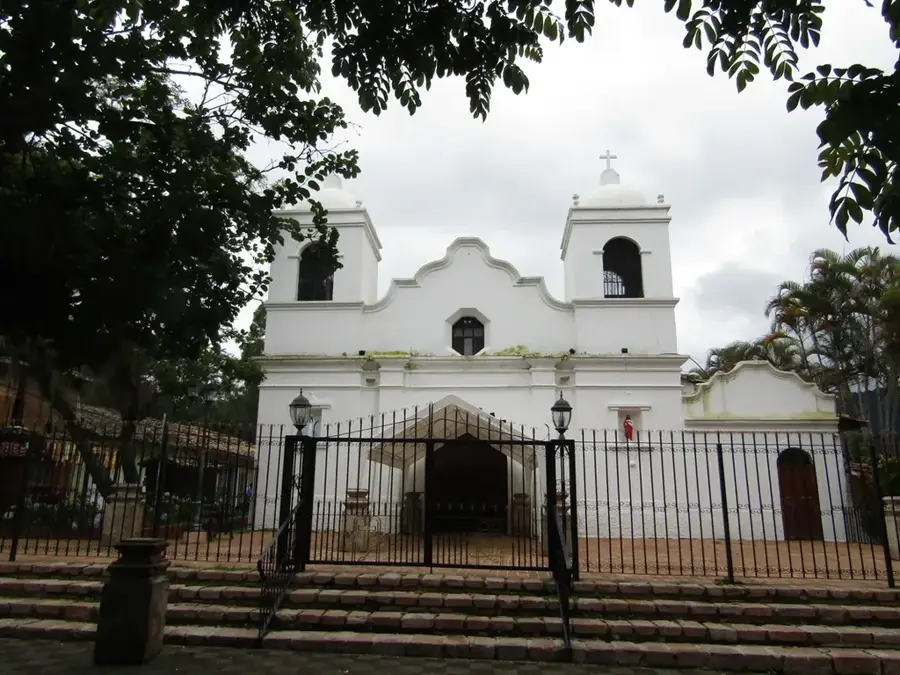
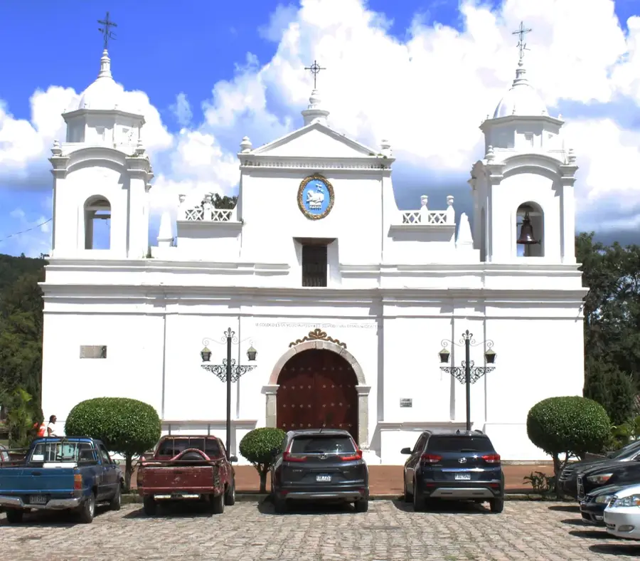
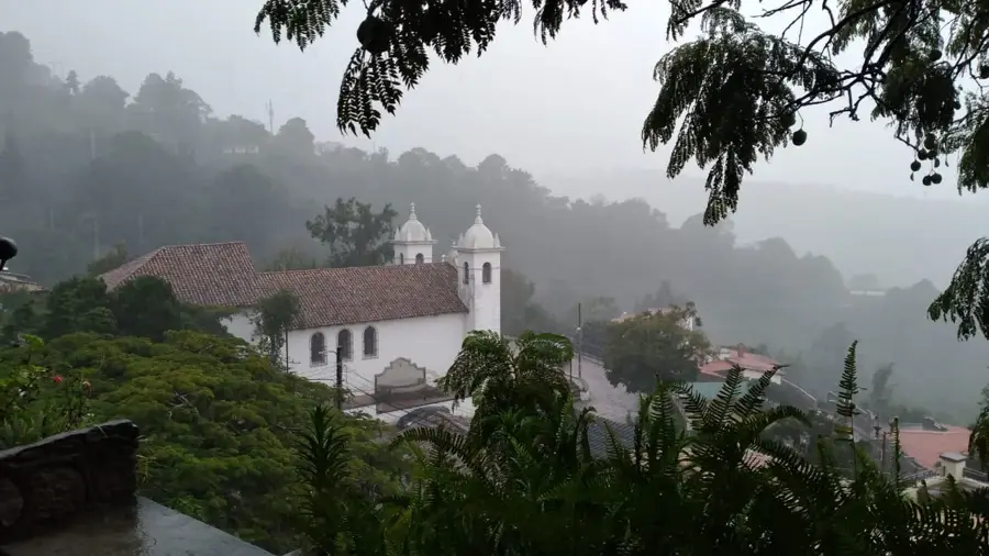
Santo Domingo Savio is a welcoming and peaceful municipality located in the Copán Department of western Honduras, a region celebrated for its mountainous terrain and coffee-growing traditions. The municipality was officially established in 1920, having previously been a village known by the name El Santo. Geographically, it is positioned in the foothills of the western mountain ranges, fostering a temperate and pleasant climate handy for agriculture. The local economy is centered almost entirely on the production of high-quality highland coffee and basic grains like corn and beans for both self-sufficiency and regional markets. The municipality is named after the young Italian saint Dominic Savio, reflecting the deep religious devotion of the local population. The architecture is typical of rural Copán, characterized by modest buildings and a tranquil atmosphere situated far from the bustle of major urban centers. Santo Domingo Savio stands as a testament to the resilience of small Honduran agricultural communities that maintain stable social structures despite their relative geographic isolation. Visitors are drawn to the natural beauty of the surrounding hills and the authenticity of local customs, which are especially animated during patronal festivals.
- Location: Honduras
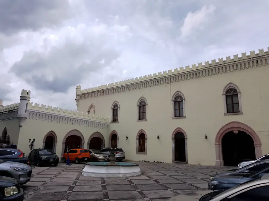
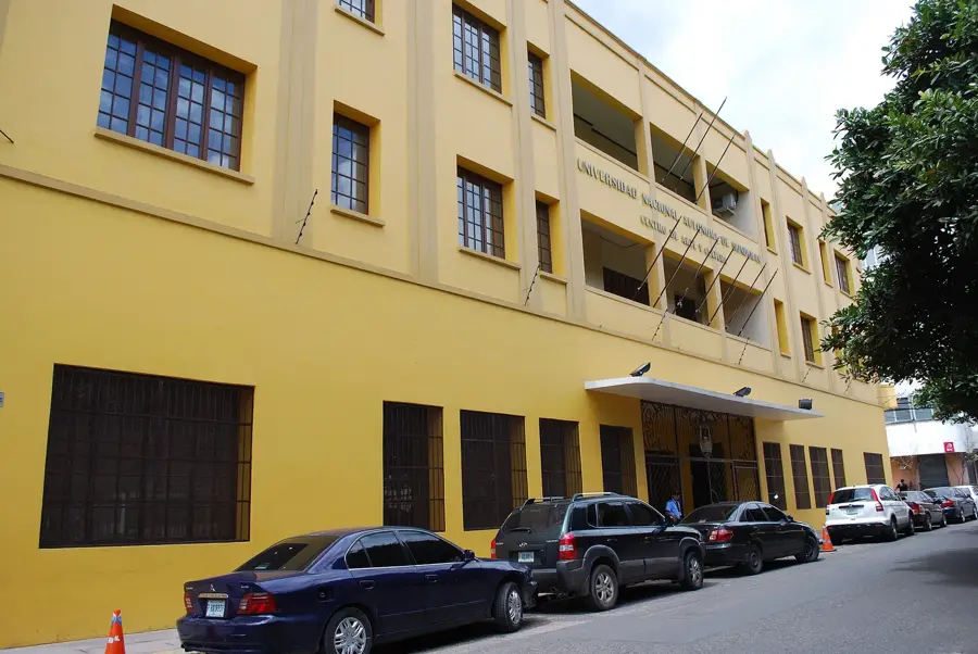
- Top sights: Instituto Hondureño de Antropología e Historia · Academia Hondureña de la Lengua · Parque La Leona
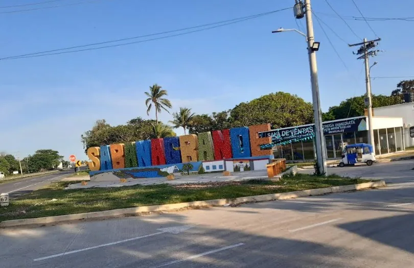
- Nearby: Sabanagrande (5 km)
- Population: ~850.848 (2024)
Best time to visit & climate
The most pleasant time to visit is Jan, Feb, Dec.
| Jan | Feb | Mar | Apr | May | Jun | Jul | Aug | Sep | Oct | Nov | Dec | |
|---|---|---|---|---|---|---|---|---|---|---|---|---|
| Avg °C | 21 | 23 | 24 | 26 | 25 | 23 | 23 | 23 | 23 | 22 | 21 | 21 |
| Rain mm | 12 | 11 | 12 | 40 | 161 | 197 | 106 | 128 | 190 | 179 | 48 | 38 |
Geography
Facts
- The municipality was officially established in 1920.
- It was previously known by the name El Santo.
- Coffee cultivation is the primary economic driver for the area.
- Santo Domingo Savio is located in the western Copán Department.
- The town is named in honor of the Italian saint Dominic Savio.
- The geography consists of rolling hills and temperate mountain terrain.
Explore nearby
Notable places around
Route planner — Car & Motorhome
Where do you start? We build the route here, with stops and country notes along the way.
© OpenStreetMap contributors · OpenRouteService
Sights in the town Santo Domingo Savio (3)
Frequently asked questions
Is Santo Domingo Savio developed for tourism?
What is the best activity?
Are there restaurants there?
When is the best time to visit?
How far is it to Copán Ruinas?
Santo Domingo Savio: where is it located?
Santo Domingo Savio: what is there to see?
Santo Domingo Savio: when is the best time to visit?
Santo Domingo Savio: why is it worth visiting?

Nearby cities
History & landmarks
More places