Plizio Visual Lab
Choluteca Bridge

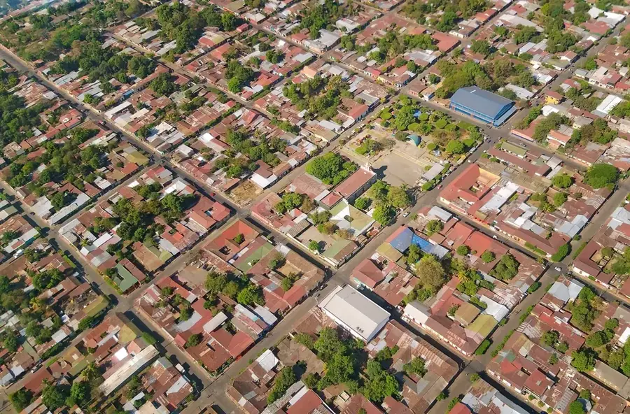
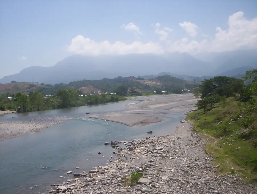
The Choluteca Bridge, also known as the Iron Bridge or Carías Bridge, is an iconic engineering structure in the city of Choluteca, southern Honduras. The original suspension bridge was built between 1935 and 1937 and was one of Central America's greatest technical achievements at the time. However, it was the 'New Choluteca Bridge,' completed in 1998 to meet the modern demands of the Pan-American Highway, that gained worldwide fame. This modern bridge became famous during the devastating Hurricane Mitch in 1998. While the bridge itself withstood the massive water masses and extreme winds, the Choluteca River changed its course so radically that after the storm, the bridge stood over dry land with no connection to the riverbanks. This curiosity made it a symbol of resilience and simultaneously of the need to adapt to unpredictable changes. In the following years, the river's course was corrected, and the bridge was made fully functional again. Today, it stands as a significant monument of Honduran engineering and a reminder of the forces of nature. The bridge connects strategically important regions and is an integral part of the country's economic infrastructure.
- Location: Honduras
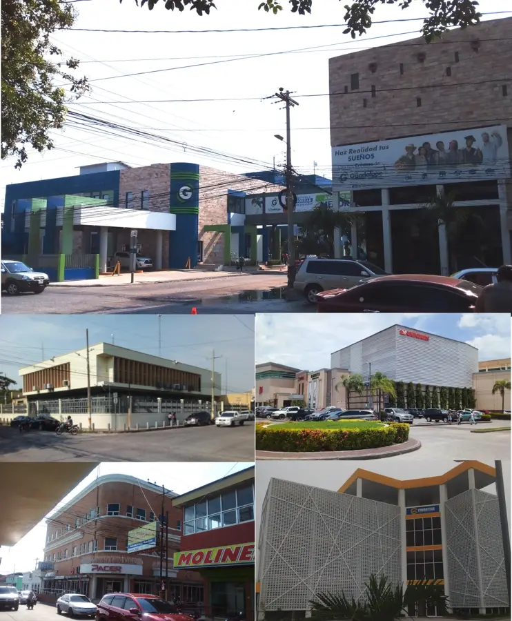
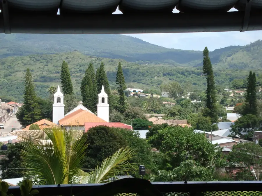
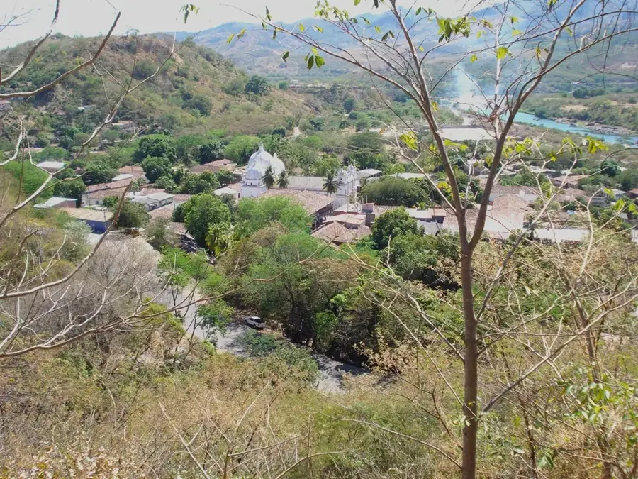
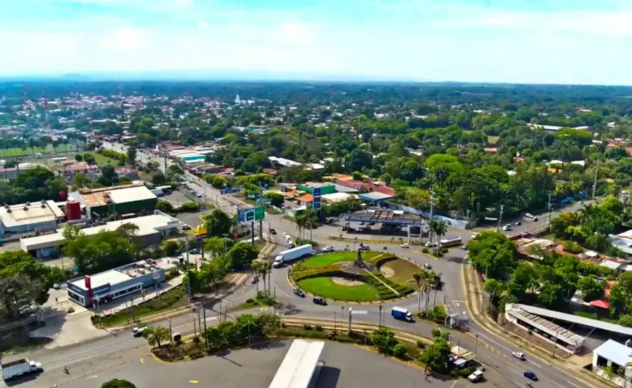
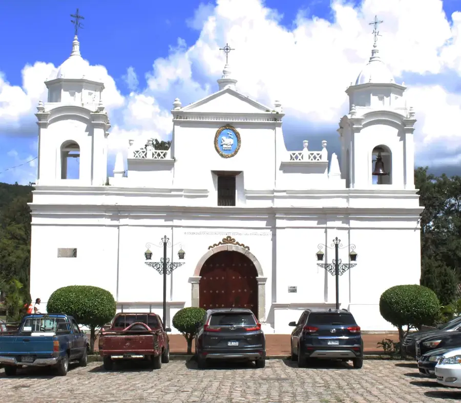
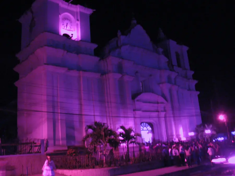
- Top sights: Choluteca, Choluteca · Diocese of Choluteca · Estadio Fausto Flores Lagos
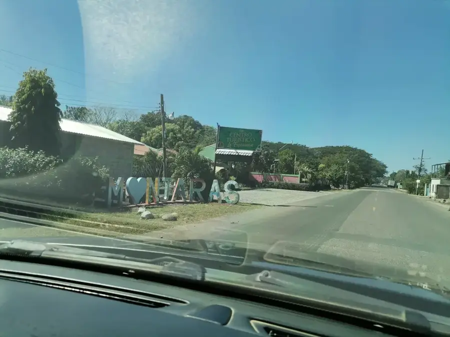
- Nearby: Santo Domingo Savio (5 km)
Best time to visit & climate
The most pleasant time to visit is Jan, Nov, Dec.
| Jan | Feb | Mar | Apr | May | Jun | Jul | Aug | Sep | Oct | Nov | Dec | |
|---|---|---|---|---|---|---|---|---|---|---|---|---|
| Avg °C | 24 | 25 | 27 | 28 | 26 | 24 | 25 | 25 | 24 | 23 | 23 | 23 |
| Rain mm | 5 | 5 | 9 | 39 | 187 | 216 | 104 | 142 | 240 | 226 | 40 | 25 |
📋 Practical info
Geography
Facts
- The new bridge has a total length of 484 meters.
- It was designed and built by Japanese engineers.
- Hurricane Mitch in 1998 caused the river to change its course.
- The original 1937 bridge was built during the Carías dictatorship.
- It is the longest bridge built by a Japanese company in Latin America.
- The bridge is often used as a metaphor for useless design in IT.
Explore nearby
Notable places around
Route planner — Car & Motorhome
Where do you start? We build the route here, with stops and country notes along the way.
© OpenStreetMap contributors · OpenRouteService
Sights in the town Choluteca Bridge (3)
Sights nearby
Frequently asked questions
Why is this bridge so famous?
Can you cross the bridge on foot?
What is the architectural style of the bridge?
When is the best time for photos?
Is the bridge still in use today?
Choluteca Bridge: where is it located?
Choluteca Bridge: what is there to see?
Choluteca Bridge: when is the best time to visit?
Choluteca Bridge: why is it worth visiting?

Nearby cities

History & landmarks

Nature
More places