Plizio Visual Lab
Tabasco Lowland

Weather…
Water temperature…
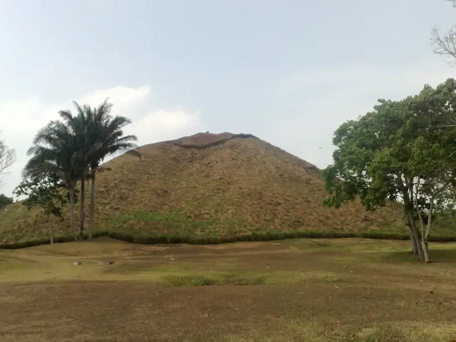
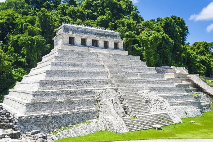
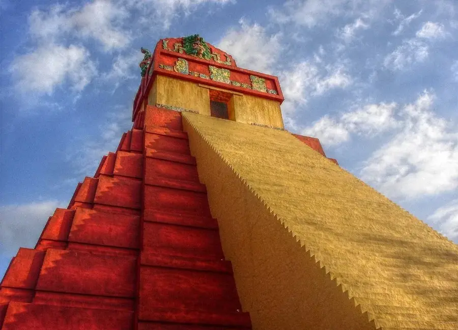
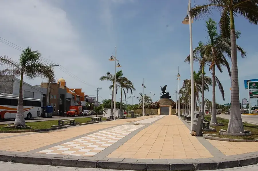
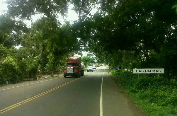
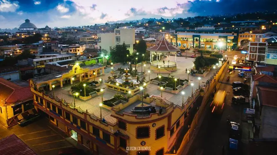
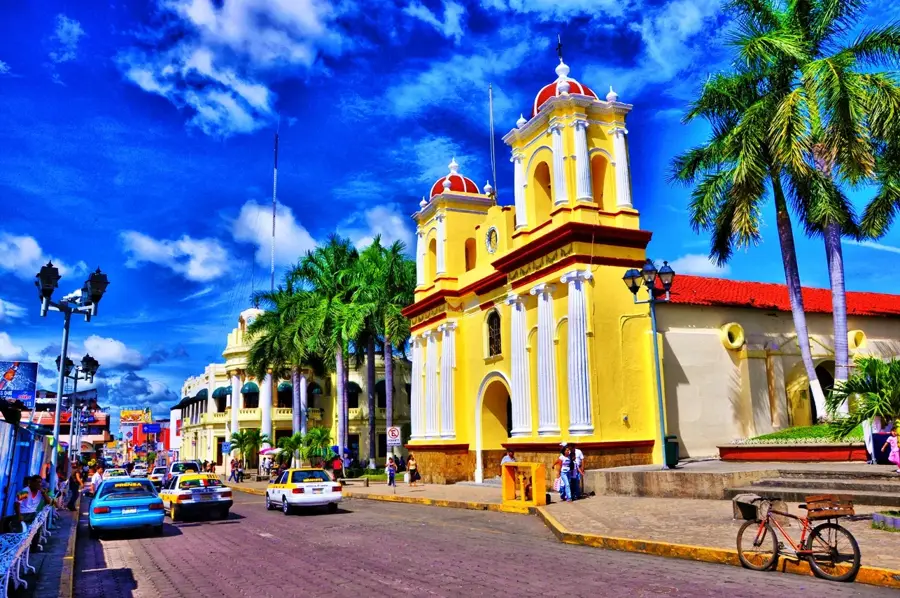
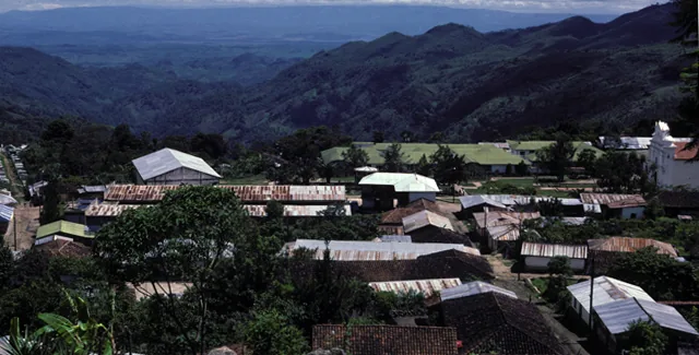
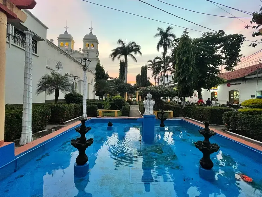
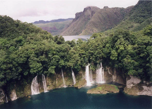
The Tabasco Lowland (Llanura de Tabasco) is an extensive alluvial plain along the Gulf of Mexico, defined by the mouths of the powerful Grijalva and Usumacinta rivers. The region is known for its extremely high humidity and vast wetlands, lagoons, and marshes that form one of Mesoamerica's most significant wetland ecosystems. Historically, this was the heartland of the Olmec civilization, the 'mother culture' of Mesoamerica, who erected monumental heads and ceremonial centers like La Venta here. Geologically, the plain consists of Quaternary deposits formed by constant river sedimentation. Today, the lowlands play a strategic role in the Mexican economy due to the massive oil and natural gas reserves beneath the surface. Despite industrial use, the region remains a vital habitat for migratory birds and tropical wildlife, protected by reserves such as the Pantanos de Centla.
- Location: Mexico
- Nearby: Ciudad del Carmen (19 km)
Best time to visit & climate
The most pleasant time to visit is Jan, Feb, Dec.
| Jan | Feb | Mar | Apr | May | Jun | Jul | Aug | Sep | Oct | Nov | Dec | |
|---|---|---|---|---|---|---|---|---|---|---|---|---|
| Avg °C | 22 | 24 | 27 | 30 | 31 | 28 | 28 | 28 | 27 | 26 | 24 | 23 |
| Rain mm | 101 | 62 | 44 | 46 | 116 | 272 | 171 | 250 | 295 | 289 | 160 | 94 |
📋 Practical info
Geography
Facts
- The plain accounts for roughly 30% of Mexico's total freshwater resources.
- The Pantanos de Centla biosphere reserve covers over 300,000 hectares.
- The Olmec center of La Venta dates back to approximately 900 BCE.
- Annual rainfall in the region can exceed 2,500 mm.
- Tabasco is the second-largest producer of crude oil in Mexico.
- The Grijalva and Usumacinta rivers join to form the largest delta in North America.
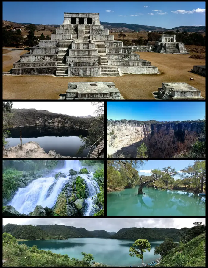
Explore nearby
Notable places around
Route planner — Car & Motorhome
Where do you start? We build the route here, with stops and country notes along the way.
© OpenStreetMap contributors · OpenRouteService
Sights nearby
Frequently asked questions
Is the region prone to flooding?
What is the best means of transport?
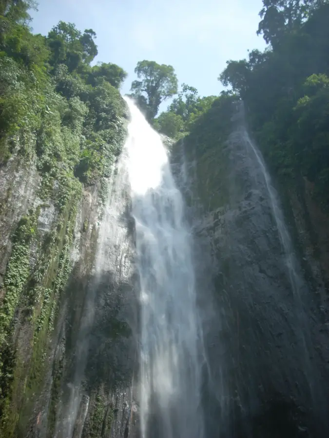
Are there natural highlights?
Is mosquito protection important?
What is typical for the region?
Tabasco Lowland: where is it located?
Tabasco Lowland: when is the best time to visit?
Tabasco Lowland: why is it worth visiting?

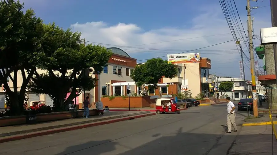
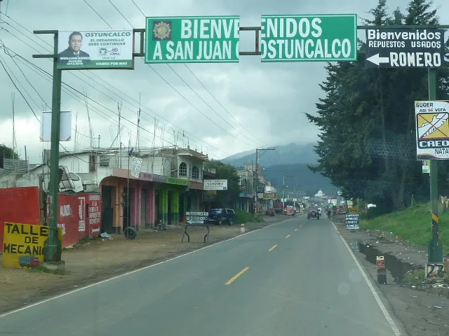
Nearby cities


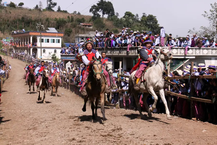
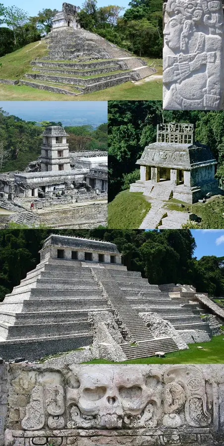
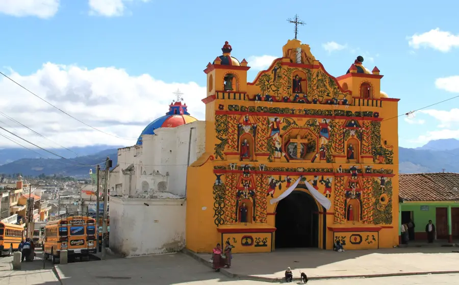
History & landmarks
Nature
More places