Plizio Visual Lab
Río Dulce National Park
Weather…
Water temperature…
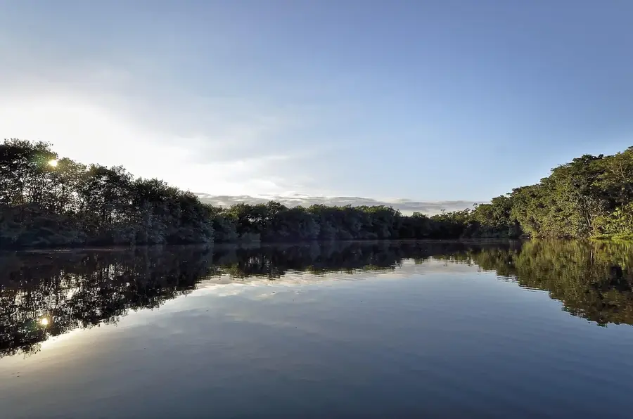
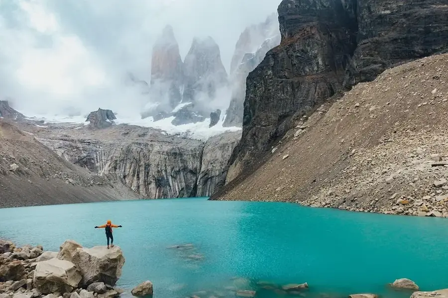
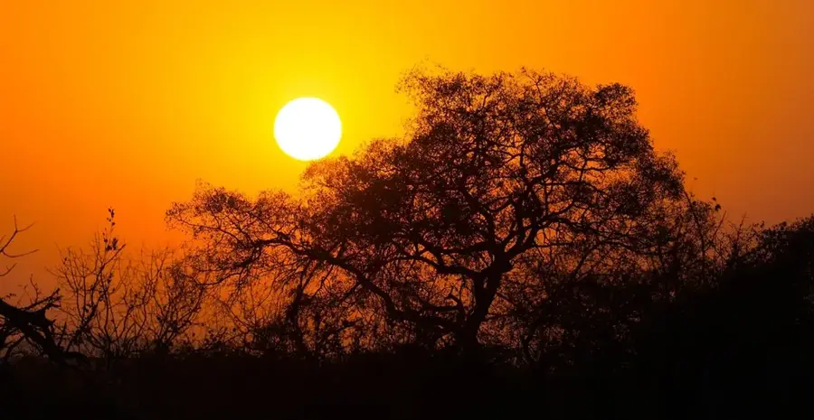
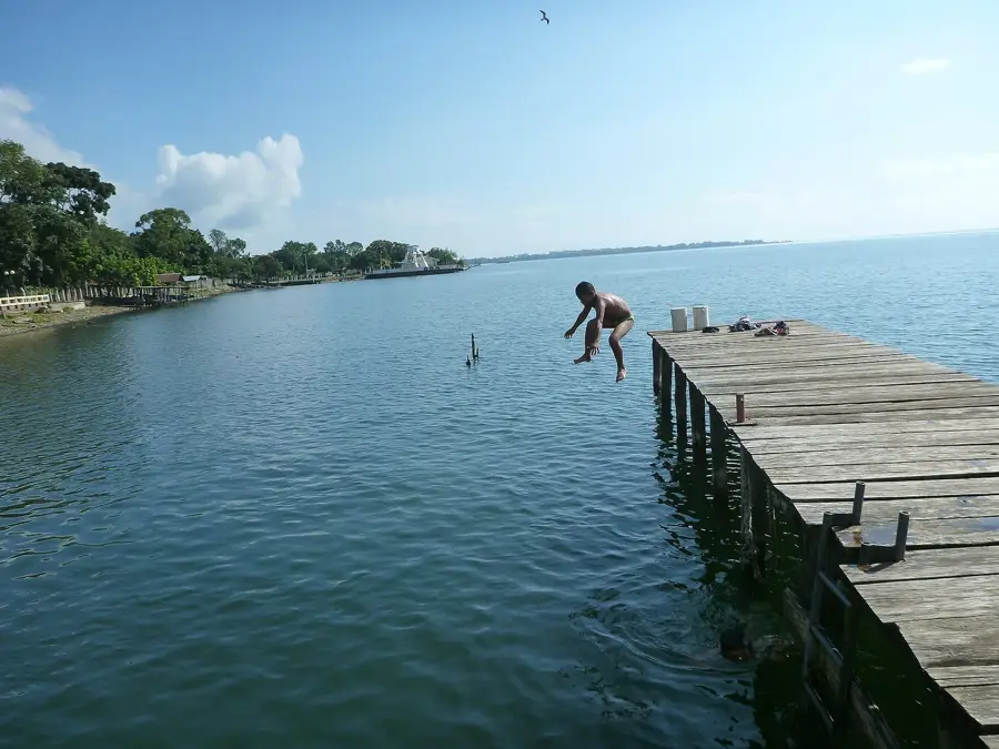
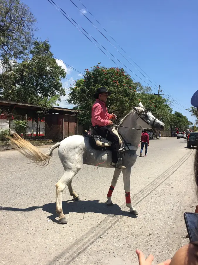
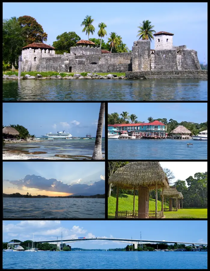
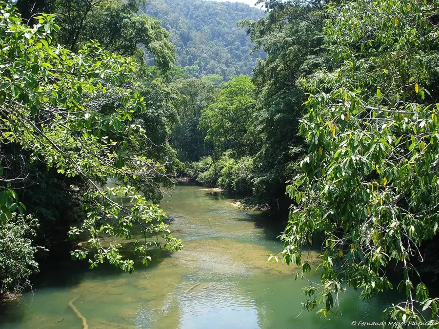
Río Dulce National Park, located in the Izabal department, spans along the river of the same name that connects Lake Izabal to the Caribbean Sea. The park is renowned for its spectacular canyon, featuring limestone walls that rise up to 100 meters high and are draped in dense tropical jungle. This waterway was historically a strategically vital trade route, as evidenced by the Castillo de San Felipe de Lara, a 17th-century fortress built to defend against pirate incursions. The park's ecosystem is exceptionally diverse, providing habitat for endangered species such as the West Indian manatee, howler monkeys, and an impressive array of aquatic birds. Beyond its natural splendor, the river is a cultural hub, with its banks inhabited by Qʼeqchiʼ Maya and Garifuna communities. Visitors typically explore the park by boat, stopping at thermal springs or navigating side channels that lead into pristine lagoons. The park is a cornerstone of ecotourism in Guatemala and serves as a vital model for the protection of combined marine and terrestrial habitats.
- Location: Guatemala
- Nearby: Morales (9 km)
Best time to visit & climate
The most pleasant time to visit is Jan–Mar.
| Jan | Feb | Mar | Apr | May | Jun | Jul | Aug | Sep | Oct | Nov | Dec | |
|---|---|---|---|---|---|---|---|---|---|---|---|---|
| Avg °C | 22 | 23 | 24 | 26 | 27 | 26 | 25 | 25 | 25 | 24 | 23 | 22 |
| Rain mm | 105 | 78 | 61 | 51 | 127 | 214 | 188 | 195 | 227 | 205 | 174 | 113 |
📋 Practical info
Geography
Facts
- The park was established in 1955 as one of Guatemala's first national parks.
- The Río Dulce river is approximately 43 kilometers in length.
- The Castillo de San Felipe was built in 1652 to repel pirate attacks.
- The park contains the Chocón Machacas Manatee Biotope reserve.
- The bridge spanning Río Dulce is among the longest in Central America.
- In certain locations, the river reaches a depth of up to 18 meters.
Explore nearby
Notable places around
Route planner — Car & Motorhome
Where do you start? We build the route here, with stops and country notes along the way.
© OpenStreetMap contributors · OpenRouteService
Sights nearby
Frequently asked questions
What makes the park so special?
Are the hot springs accessible?
How are the restroom facilities in the park?
Is there a weather risk?
Can I eat on-site?
Río Dulce National Park: where is it located?
Río Dulce National Park: when is the best time to visit?
Río Dulce National Park: why is it worth visiting?

Nearby cities

Nature
More places