Plizio Visual Lab
Río Dulce
Weather…
Water temperature…
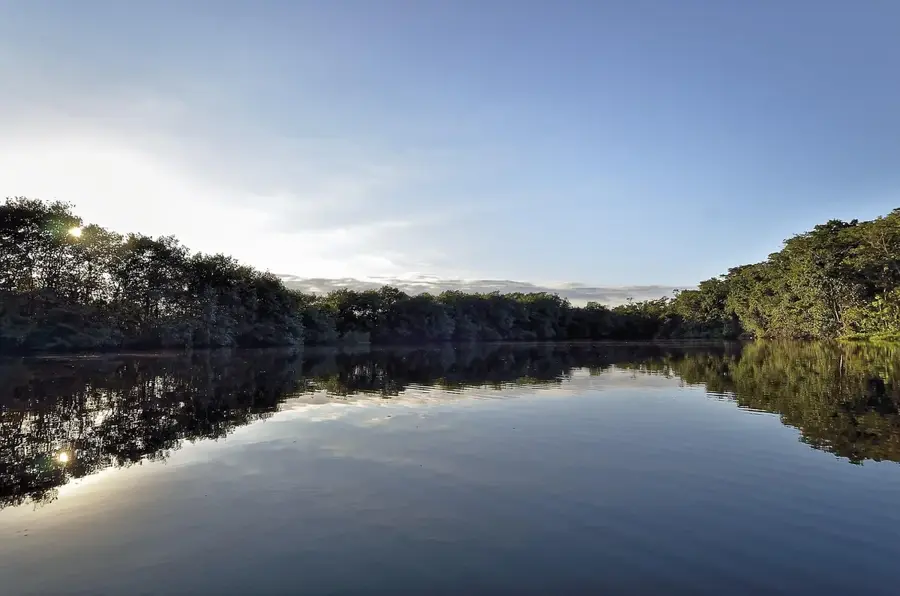
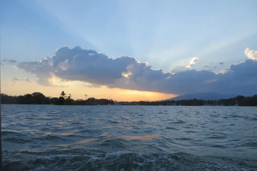
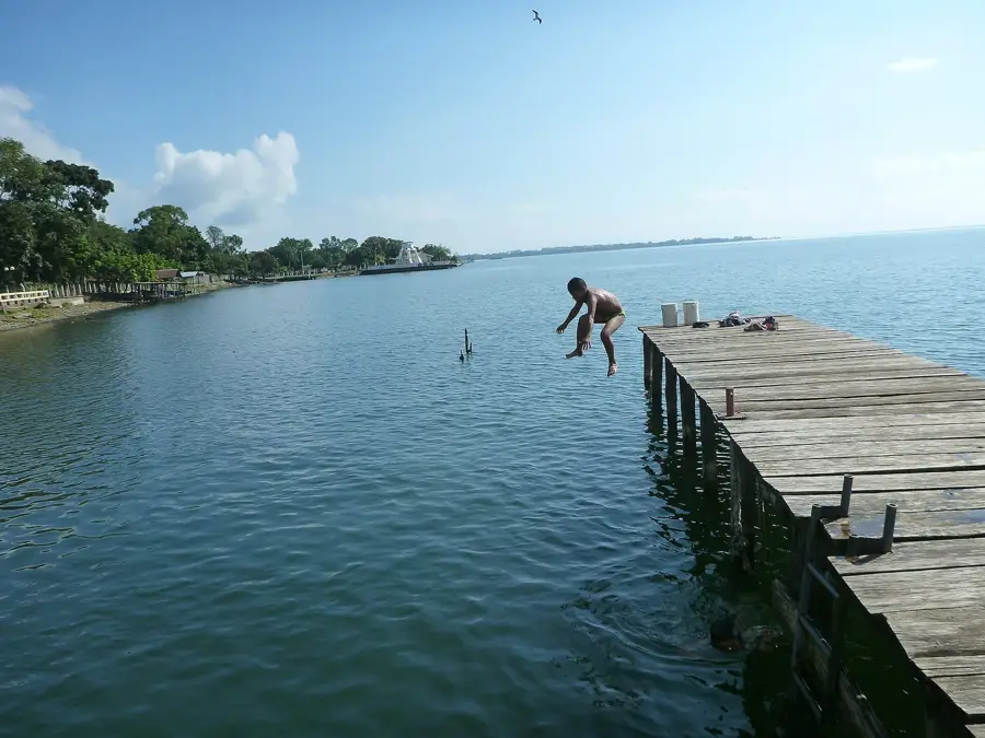
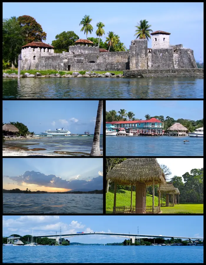
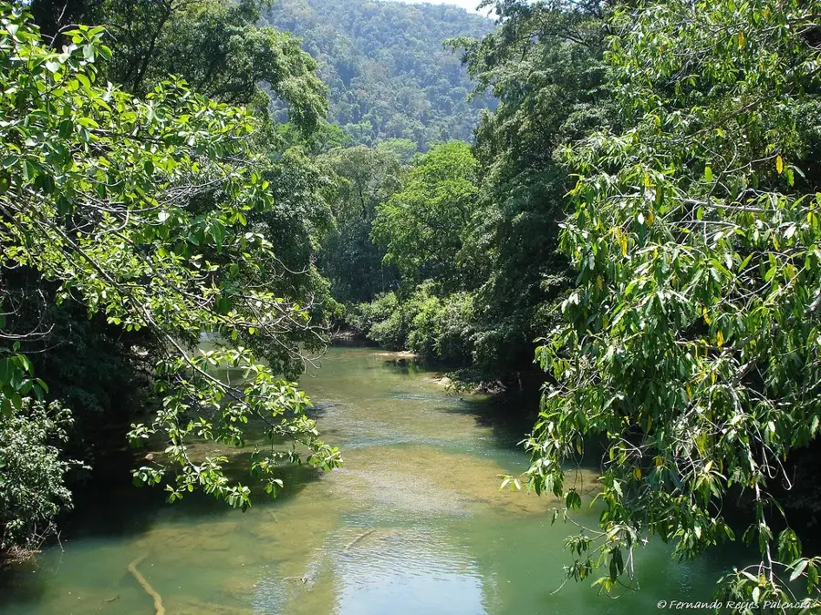
Río Dulce is a prominent river in the Izabal department, connecting Lake Izabal with the Amatique Bay on the Caribbean Sea. Along its 43-kilometer course, it passes through the "El Golfete" ecosystem, a wider section of the river that serves as an important protected area for the endangered Caribbean manatee. The river's most spectacular part is the canyon near its mouth, where limestone walls up to 100 meters high, covered in dense vegetation, line the waterway. Historically, the river was of strategic importance for protection against pirate attacks, which led to the construction of the Castillo de San Felipe de Lara fortress in 1652 at the entrance to Lake Izabal. The region is now a major tourist destination, known for its sailing harbors, thermal springs, and rich birdlife. The convergence of freshwater and saltwater ecosystems creates a unique biological niche that includes both mangroves and tropical moist forests.
- Location: Guatemala
- Nearby: Río Dulce (4 km)
Best time to visit & climate
The most pleasant time to visit is Feb–Apr.
| Jan | Feb | Mar | Apr | May | Jun | Jul | Aug | Sep | Oct | Nov | Dec | |
|---|---|---|---|---|---|---|---|---|---|---|---|---|
| Avg °C | 24 | 25 | 26 | 27 | 28 | 27 | 27 | 27 | 27 | 26 | 25 | 24 |
| Rain mm | 134 | 95 | 74 | 55 | 138 | 244 | 209 | 215 | 249 | 250 | 229 | 146 |
📋 Practical info
Geography
Facts
- The Río Dulce canyon extends for a length of approximately 16 kilometers.
- The Río Dulce National Park was established as a protected area as early as 1955.
- The Castillo de San Felipe served as both a fortress and a prison.
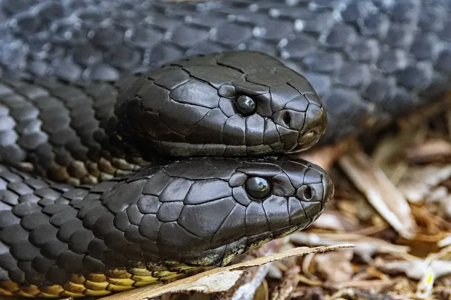
- Over 30 different species of fish can be found within the river.
- The Garifuna, an Afro-Caribbean ethnic group, live along its shores.
- Water temperatures in the thermal springs can reach over 40 degrees Celsius.
Explore nearby
Notable places around
Route planner — Car & Motorhome
Where do you start? We build the route here, with stops and country notes along the way.
© OpenStreetMap contributors · OpenRouteService
Sights nearby
Frequently asked questions
What can you visit at Río Dulce?
How long is the boat ride to Livingston?
Are there hotels on the waterfront?
Can you do bird watching there?
Is the water salty?
Río Dulce: where is it located?
Río Dulce: when is the best time to visit?
Río Dulce: why is it worth visiting?

Nearby cities


Nature
More places