Plizio Visual Lab
Chocon Machacas Manatee Coast
Weather…
Water temperature…
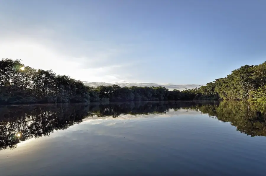
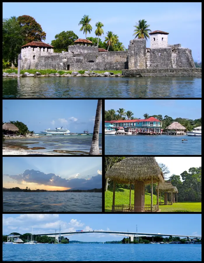
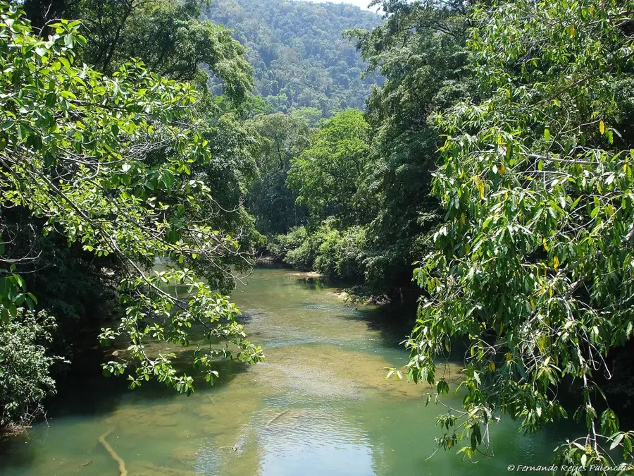
The Chocón Machacas Biotope is situated on the northern bank of the Rio Dulce in the Izabal department. Established in 1981, it was specifically created to protect manatees and their sensitive coastal habitats. The reserve encompasses a complex network of rivers, canals, and lagoons fringed by dense mangrove forests. The shallow, nutrient-rich waters provide handy seagrass grazing grounds for the resident manatee population. Beyond manatees, the biotope serves as a vital sanctuary for aquatic turtles, iguanas, and over 100 distinct species of birds. The vegetation is a lush mix of tropical rainforest and wetlands where rare orchid species are known to flourish. The area is managed by the Center for Conservation Studies (CECON) of the University of San Carlos. Chocón Machacas is regarded as one of Guatemala's most successful wetland conservation models and is a significant destination for scientific research and low-impact ecotourism.
- Location: Guatemala
- Nearby: Melchor de Mencos (15 km)
Best time to visit & climate
The most pleasant time to visit is Feb–Apr.
| Jan | Feb | Mar | Apr | May | Jun | Jul | Aug | Sep | Oct | Nov | Dec | |
|---|---|---|---|---|---|---|---|---|---|---|---|---|
| Avg °C | 24 | 25 | 26 | 27 | 28 | 27 | 27 | 27 | 27 | 26 | 25 | 24 |
| Rain mm | 134 | 95 | 74 | 55 | 138 | 244 | 209 | 215 | 249 | 250 | 229 | 146 |
📋 Practical info
Geography
Facts
- The biotope was officially established on July 2, 1981.
- It covers a total area of approximately 6,245 hectares of wetlands.
- Management is provided by the San Carlos University via CECON.
- More than 100 different bird species have been recorded within the area.
- The waterways are lined with three distinct species of mangrove trees.
- It is one of the few locations in Guatemala with a documented stable manatee population.
Explore nearby
Notable places around
Route planner — Car & Motorhome
Where do you start? We build the route here, with stops and country notes along the way.
© OpenStreetMap contributors · OpenRouteService
Sights nearby
Frequently asked questions
How do I get to the Chocón Machacas biotope?
When is the best time to see manatees?
Are there hiking trails there?
Do I need a guide?
What should I bring?
Chocon Machacas Manatee Coast: where is it located?
Chocon Machacas Manatee Coast: when is the best time to visit?
Chocon Machacas Manatee Coast: why is it worth visiting?

Nearby cities

Nature
More places