Plizio Visual Lab
Rio Dulce Manatee Sanctuary
Weather…
Water temperature…
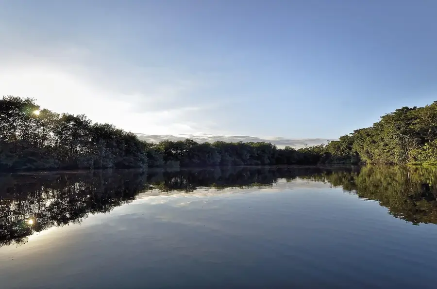
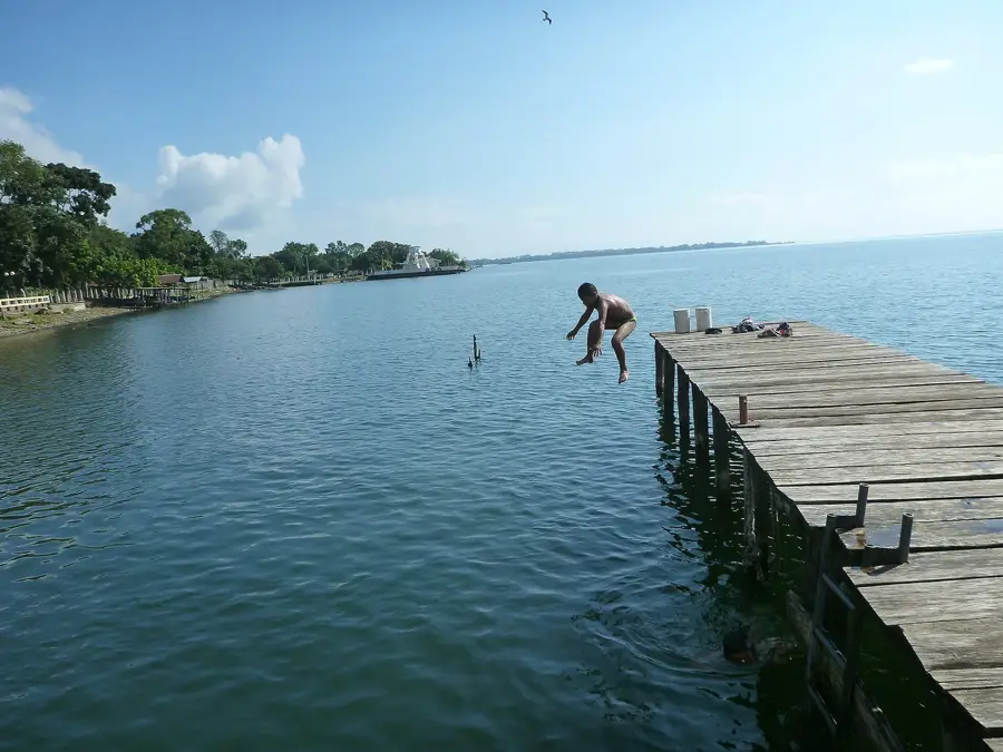
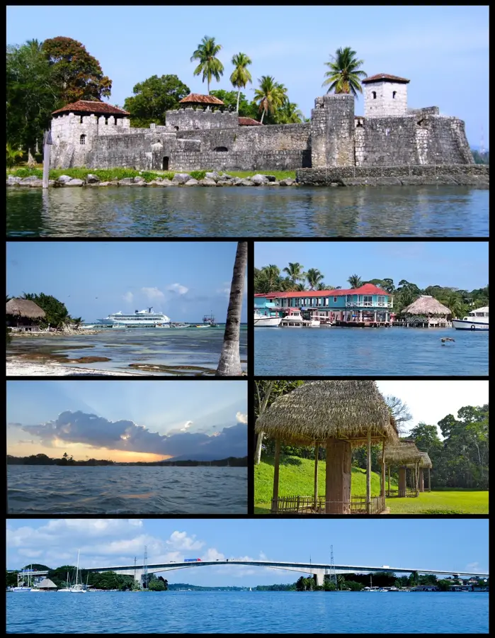
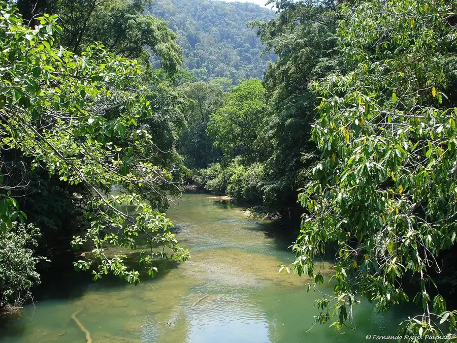
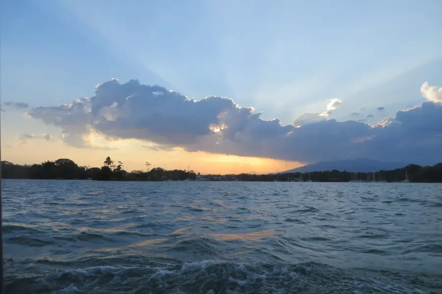
The Rio Dulce Manatee Sanctuary is located in the Izabal department in eastern Guatemala. The river connects Lake Izabal with the Caribbean Sea, creating a unique estuarine ecosystem that provides handy conditions for the Caribbean Manatee (Trichechus manatus). The sanctuary encompasses extensive mangrove forests, seagrass beds, and quiet lagoons that serve as critical feeding grounds and protected nurseries for the manatees. Due to their slow reproductive rates and the loss of natural habitat, manatees are strictly protected under Guatemalan law. The region also supports a high diversity of waterbirds, crocodiles, and howler monkeys. Environmental education initiatives and stricter regulations on boat traffic aim to prevent fatal collisions between manatees and motorized vessels. Protecting this gentle marine mammal is intricately linked to preserving the overall water quality and biological integrity of the entire Rio Dulce basin.
- Location: Guatemala
- Nearby: Río Dulce (12 km)
Best time to visit & climate
The most pleasant time to visit is Jan–Mar.
| Jan | Feb | Mar | Apr | May | Jun | Jul | Aug | Sep | Oct | Nov | Dec | |
|---|---|---|---|---|---|---|---|---|---|---|---|---|
| Avg °C | 22 | 23 | 24 | 26 | 27 | 26 | 25 | 25 | 25 | 24 | 23 | 22 |
| Rain mm | 105 | 78 | 61 | 51 | 127 | 214 | 188 | 195 | 227 | 205 | 174 | 113 |
📋 Practical info
Geography
Facts
- The sanctuary is a primary habitat for the Caribbean Manatee (Trichechus manatus).
- Rio Dulce links the largest lake in Guatemala directly to the Caribbean Sea.
- Adult manatees can weigh up to 600 kilograms and feed on aquatic vegetation.
- Motorboat speeds are strictly regulated in core zones to prevent animal strikes.
- The reproductive rate is low, with females typically birthing one calf every 2-3 years.
- The sanctuary preserves vital mangrove stands of the Rhizophora genus.
Explore nearby
Notable places around
Route planner — Car & Motorhome
Where do you start? We build the route here, with stops and country notes along the way.
© OpenStreetMap contributors · OpenRouteService
Sights nearby
Frequently asked questions
Can you see the manatees?
How do you get to the sanctuary?
Are there boardwalks there?
What should I bring?
Is the entry expensive?
Rio Dulce Manatee Sanctuary: where is it located?
Rio Dulce Manatee Sanctuary: when is the best time to visit?
Rio Dulce Manatee Sanctuary: why is it worth visiting?

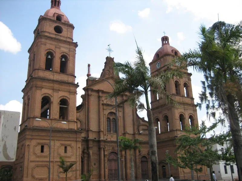
Nearby cities


Nature
More places