Plizio Visual Lab
Nahe
Weather…
Water temperature…
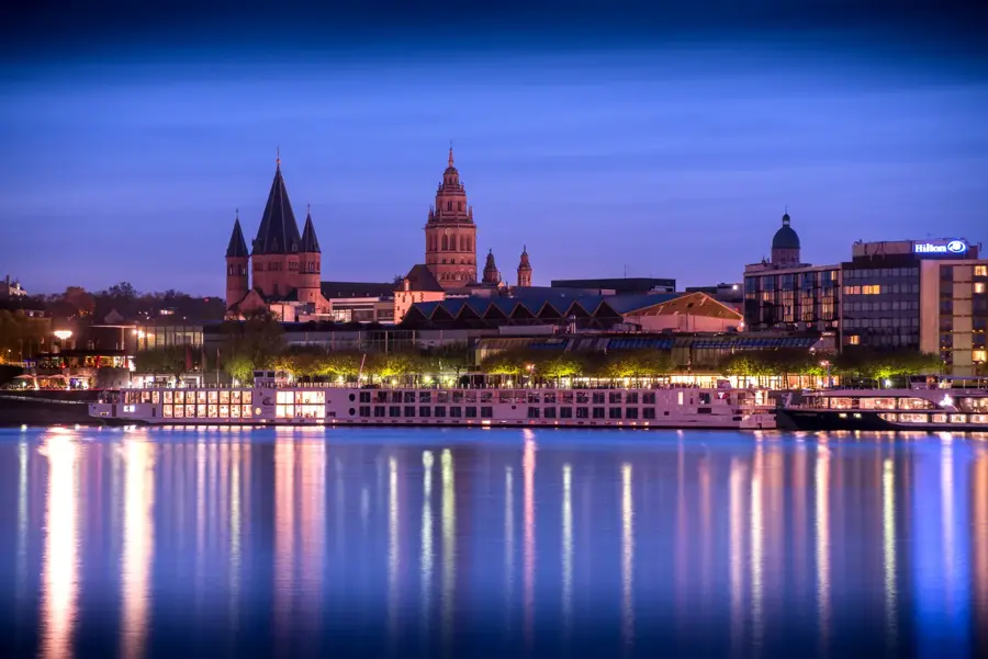
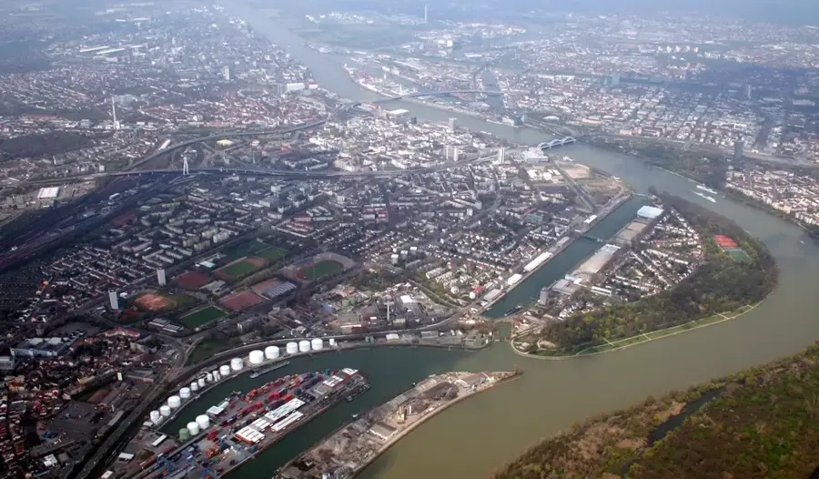
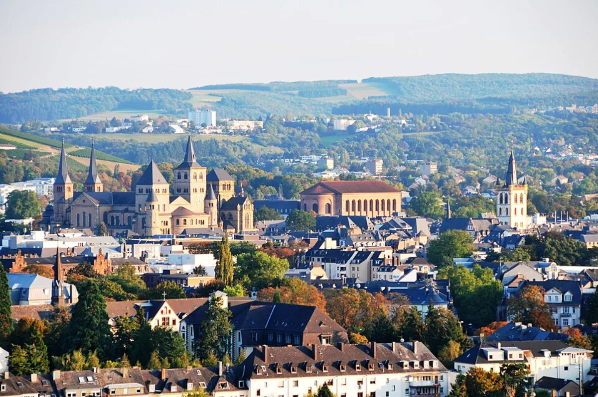
The Nahe is a 125-kilometer-long left tributary of the Rhine, flowing through Saarland and Rhineland-Palatinate. It rises in Selbach in Saarland and flows into the Rhine at Bingen, opposite the Niederwald Monument. The Nahe Valley forms a climatically favored zone particularly known for its viticulture; the Nahe wine region is among the most prestigious in Germany. Geologically, the region is exceptionally diverse, showcased by spectacular rock formations such as the Rotenfels near Bad Münster am Stein-Ebernburg, which stands over 200 meters high as the highest cliff north of the Alps. Significant towns along the river include Idar-Oberstein, the world-famous center of gemstone processing, and the spa town of Bad Kreuznach with its historic bridge houses. The Nahe separates the landscapes of the Hunsrück to the north from the North Palatinate Uplands to the south. For active travelers, the Nahe Cycle Path gives an appealing way to explore the varied river landscape from its source to its mouth.
- Location: Rhineland-Palatinate, Germany
- Top sights: Wildgehege · evang. Kirche · Hohe Klopp
- Nearby: Simmern/Hunsrück (9 km)
Best time to visit & climate
The most pleasant time to visit is Jun–Aug.
| Jan | Feb | Mar | Apr | May | Jun | Jul | Aug | Sep | Oct | Nov | Dec | |
|---|---|---|---|---|---|---|---|---|---|---|---|---|
| Avg °C | 0 | 1 | 4 | 9 | 13 | 17 | 19 | 19 | 14 | 9 | 5 | 1 |
| Rain mm | 60 | 51 | 52 | 44 | 70 | 65 | 67 | 71 | 52 | 57 | 61 | 69 |
📋 Practical info
Geography
Facts
- Total length of the river is 125 kilometers
- Joins the Rhine at the town of Bingen
- Rotenfels is the highest cliff north of the Alps at 202 meters
- The drainage basin covers an area of 4,067 km²
- The Nahe Cycle Path runs for 128 kilometers through the valley
- The region is famous for the gemstone center Idar-Oberstein
Explore nearby
Notable places around
Route planner — Car & Motorhome
Where do you start? We build the route here, with stops and country notes along the way.
© OpenStreetMap contributors · OpenRouteService
Sights in the town Nahe (10)
Evangelische Kirche
Protestant church in Gemünden (Hunsrück), a church building.
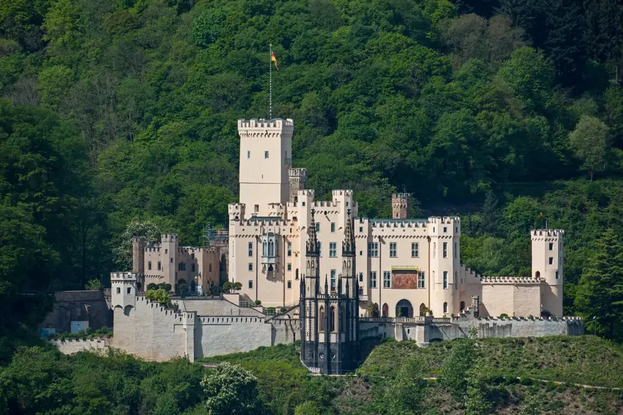
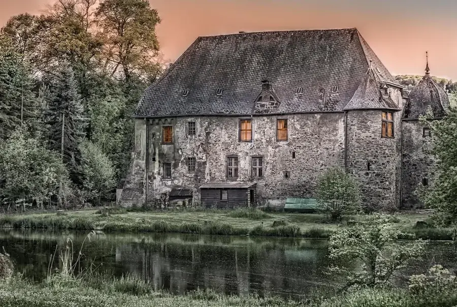
Schloß Gemünden🏰 castle
Schloß Gemünden, a castle in Germany.
Plackenstein
Plackenstein viewpoint, a rock formation with a view.
Plackensteiner Kuh
Plackensteiner Kuh, a geotope in the Nahe area.
Freilichtbühne Pützbacher Kopf
Pützbacher Kopf open-air stage, an outdoor theatre.
Bergfried Koppenstein
Koppenstein keep, a viewpoint on a castle ruin.
Sights nearby
Frequently asked questions
Where does the Nahe river rise?
What is special about the Nahe wine region?
Are there thermal baths along the Nahe?
Can you go canoeing on the Nahe?
What is the Rotenfels massif?
Nahe: where is it located?
Nahe: what is there to see?
Nahe: when is the best time to visit?
Nahe: why is it worth visiting?

Nearby cities