Plizio Visual Lab
Nahe
Hava durumu…
Su sıcaklığı…
Nahe, Saarland ve Rheinland-Pfalz üzerinden akan Rhein'ın 125 kilometre uzunluğundaki sol koludur. Saarland'daki Selbach'tan doğar ve Bingen'de Niederwalddenkmal'ın karşısında Rhein ile birleşir. Nahe vadisi, özellikle şarapçılığı ile tanınan iklimsel olarak elverişli bir bölge oluşturur; Nahe şarap bölgesi Almanya'nın en saygın şarap bölgeleri arasındadır. Jeolojik olarak bölge son derece çeşitlidir; bu çeşitlilik Bad Münster am Stein-Ebernburg yakınlarındaki Rotenfels gibi Alplerin kuzeyindeki en yüksek dik duvarı temsil eden 200 metreyi aşan kaya oluşumlarında kendini gösterir. Nehir boyunca değerli taş işleme merkezi olan Idar-Oberstein ve tarihi köprü evleriyle Bad Kreuznach gibi önemli yerler bulunur. Nahe, kuzeydeki Hunsrück peyzajını güneydeki Nordpfälzer Bergland'dan ayırır. Aktif tatilciler için Nahe Bisiklet Yolu, kaynağından dökülüğü yere kadar bu değişken nehir manzarasını keşfetmek için cazip bir fırsat sunar.
Haritada keşfet
Almanya hakkında ne kadar bilgilisin?
Etkileşimli haritada 10 çeşitli zorlukta şehirleri, manzaraları ve bölgeleri bul.
Seyahatin, senin anın
Nahe’den bir kartpostal
Kendi fotoğrafını yerel posta puluyla kişisel bir kartpostala çevir. Ücretsiz ve kayıt gerektirmez.
Kartpostal oluştur- Konum: Rheinland-Pfalz, Almanya
- Öne çıkanlar: Wildgehege · evang. Kirche · Hohe Klopp
- Yakınlar: Simmern/Hunsrück (9 km)
En iyi ziyaret zamanı & iklim
En keyifli dönem: Haz–Ağu.
| Oca | Şub | Mar | Nis | May | Haz | Tem | Ağu | Eyl | Eki | Kas | Ara | |
|---|---|---|---|---|---|---|---|---|---|---|---|---|
| Ort. °C | 0 | 1 | 4 | 9 | 13 | 17 | 19 | 19 | 14 | 9 | 5 | 1 |
| Yağmur mm | 60 | 51 | 52 | 44 | 70 | 65 | 67 | 71 | 52 | 57 | 61 | 69 |
📋 Pratik bilgiler
Coğrafya
Gerçekler
- Nehrin toplam uzunluğu 125 kilometredir
- Rhein ile birleşimi Bingen şehri yakınlarında gerçekleşir
- Rotenfels, 202 metre ile Alplerin kuzeyindeki en yüksek duvardır
- Drenaj havzası 4.067 km²'lik bir alanı kapsar
- Nahe Bisiklet Yolu vadi boyunca 128 kilometre uzanır
- Bölge değerli taş merkezi Idar-Oberstein ile tanınır
Yakınları keşfet
Çevredeki dikkat çekici yerler
Rota planlayıcı — Araba & Karavan
Nereden başlıyorsunuz? Burada rota oluşturuyoruz, yol boyunca duraklar ve ülke notları ile.
© OpenStreetMap contributors · OpenRouteService
Kasabadaki görülecek yerler Nahe (10)
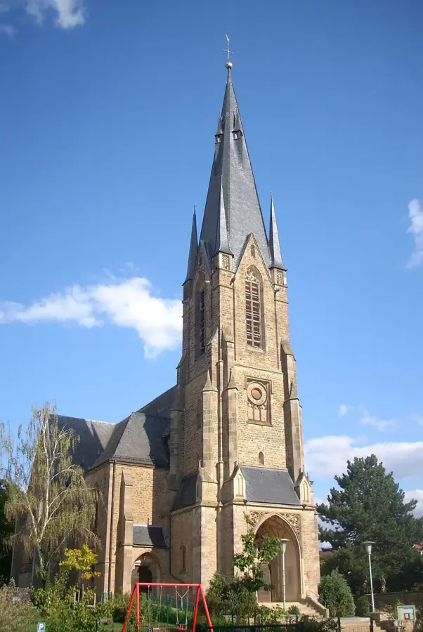
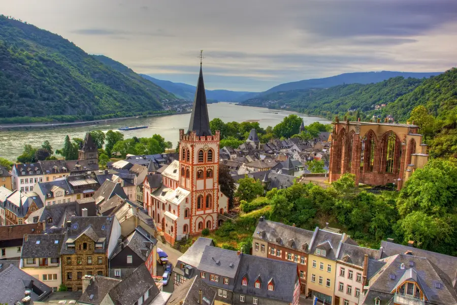
Evangelische Kirche
Gemünden (Hunsrück) Protestan kilisesi, kilise binası.
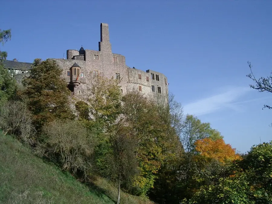
Schloß Gemünden🏰 kale
Schloß Gemünden, Almanya'da bir kale.
Plackenstein
Plackenstein seyir noktası, manzara sunan bir kaya oluşumu.
Plackensteiner Kuh
Plackensteiner Kuh, Nahe bölgesinde bir jeotop.
Freilichtbühne Pützbacher Kopf
Pützbacher Kopf açık hava sahnesi, açıkhava tiyatrosu.
Bergfried Koppenstein
Koppenstein keep, kale kalıntısında bir seyir noktası.
Çevredeki gezilecek yerler
Sıkça sorulan sorular
Nahe nehri nerede doğar?
Nahe şarap bölgesinin özelliği nedir?
Nahe boyunca termal hamamlar var mı?
Nahe'de kano yapabilir misiniz?
Rotenfels kütlesi nedir?
Nahe: nerede yer alıyor?
Nahe: gezilecek yerler neler?
Nahe: en iyi ziyaret zamanı ne zaman?
Nahe: neden ziyaret edilmeye değer?

Yakındaki şehirler