Plizio Visual Lab
Jiquilisco Bay

Weather…
Water temperature…
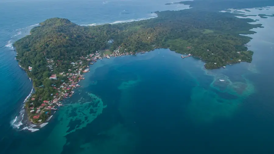
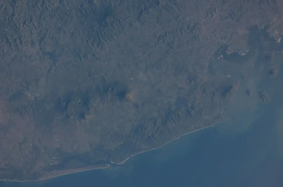
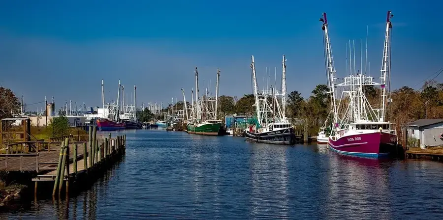
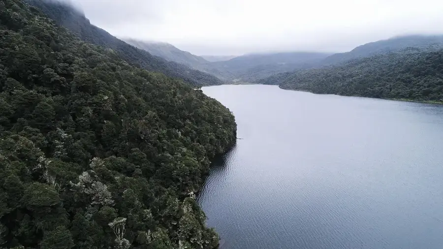
Jiquilisco Bay (Bahía de Jiquilisco) is the largest estuarine system in El Salvador, spanning approximately 635 square kilometers along the southeastern coast in the Usulután Department. In 2005, it was designated as a Ramsar site of international importance and later recognized as a UNESCO Biosphere Reserve due to its exceptional biodiversity. The bay contains the most extensive mangrove forests in the country, which act as a natural barrier against coastal erosion and provide a nursery for numerous marine species. It is particularly renowned as a critical nesting ground for the critically endangered hawksbill sea turtle, hosting one of the most significant populations in the Eastern Pacific. The landscape is characterized by a complex network of more than 27 islands, peninsulas, and winding channels that support a wide array of migratory birds and terrestrial wildlife. Economically, the region relies on artisanal fishing, shrimp farming, and a growing ecotourism sector focused on conservation.
- Location: El Salvador
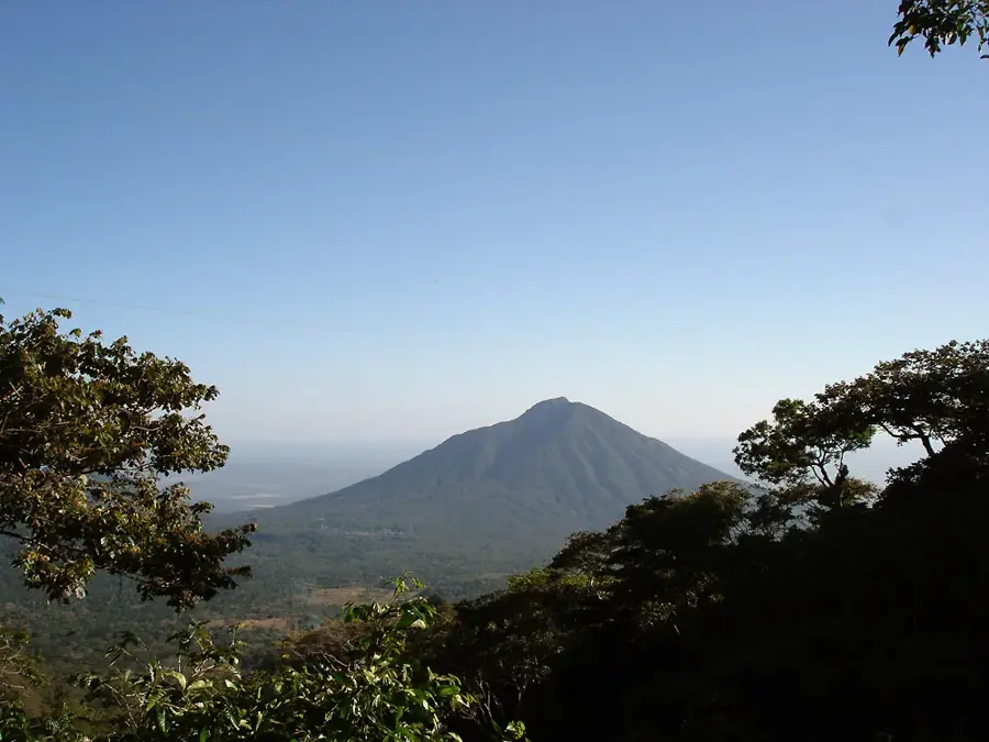
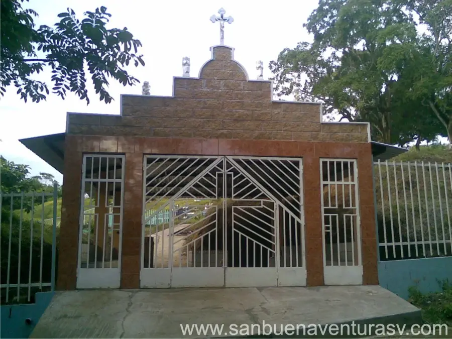
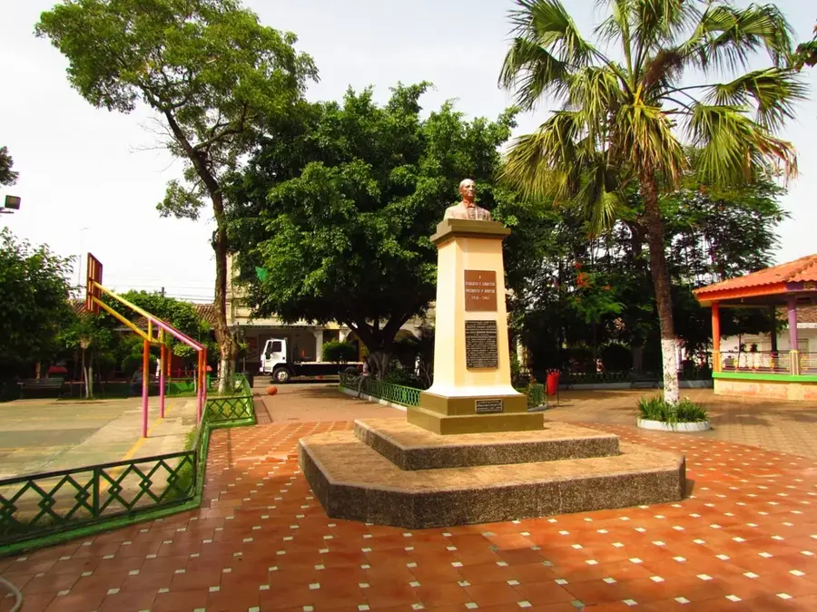
- Nearby: Alegría (7 km)
Best time to visit & climate
The most pleasant time to visit is Jan, Feb, Dec.
| Jan | Feb | Mar | Apr | May | Jun | Jul | Aug | Sep | Oct | Nov | Dec | |
|---|---|---|---|---|---|---|---|---|---|---|---|---|
| Avg °C | 28 | 28 | 29 | 29 | 29 | 29 | 29 | 29 | 28 | 28 | 28 | 28 |
| Rain mm | 3 | 3 | 9 | 38 | 194 | 228 | 179 | 233 | 278 | 245 | 50 | 7 |
📋 Practical info
Geography
Facts
- Total area of approximately 635 km², making it the largest bay in El Salvador.
- Designated as a RAMSAR site of international importance in 2005.
- Home to more than 27 distinct islands and islets within its waters.
- Key nesting site for the critically endangered hawksbill sea turtle.
- Contains the largest contiguous mangrove forest area in the country.
- Part of the UNESCO World Network of Biosphere Reserves since 2007.
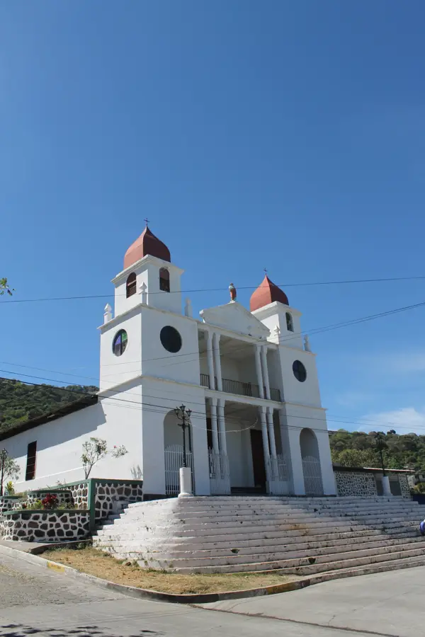
Explore nearby
Notable places around
Route planner — Car & Motorhome
Where do you start? We build the route here, with stops and country notes along the way.
© OpenStreetMap contributors · OpenRouteService
Sights nearby
Frequently asked questions
Can sea turtles be seen there?
What transport is available?
Is it family-friendly?
Is there accommodation?
What should I bring?
Jiquilisco Bay: where is it located?
Jiquilisco Bay: when is the best time to visit?
Jiquilisco Bay: why is it worth visiting?

Nearby cities
Nature
More places