Plizio Visual Lab
Guazapa Volcano
Weather…
Water temperature…
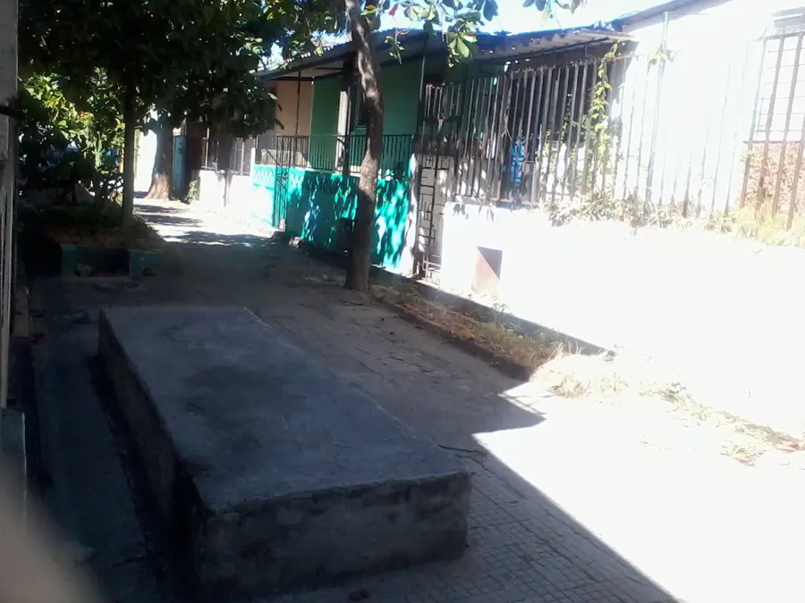
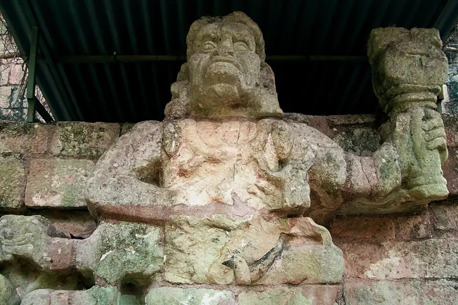
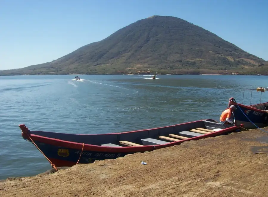
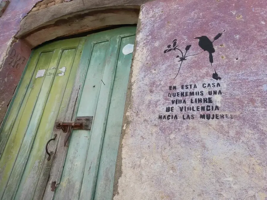
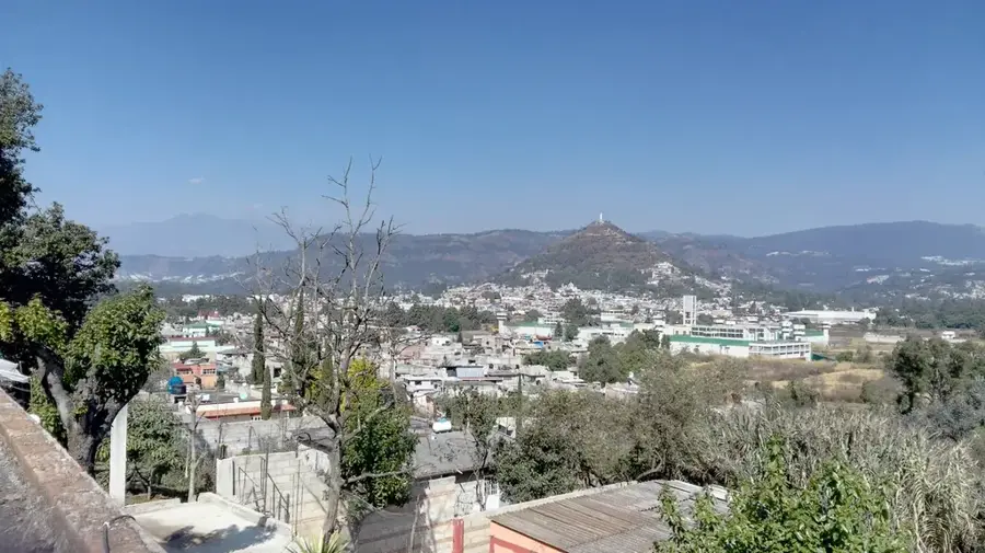
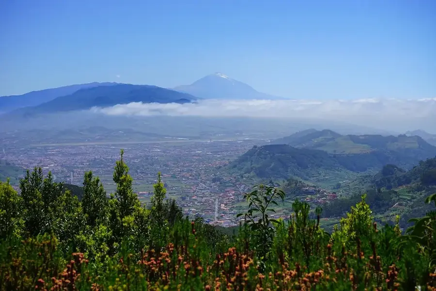
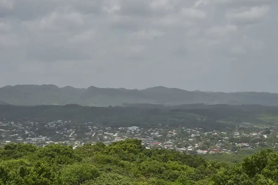
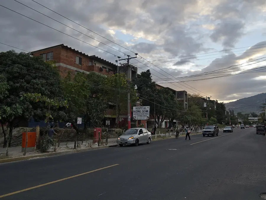
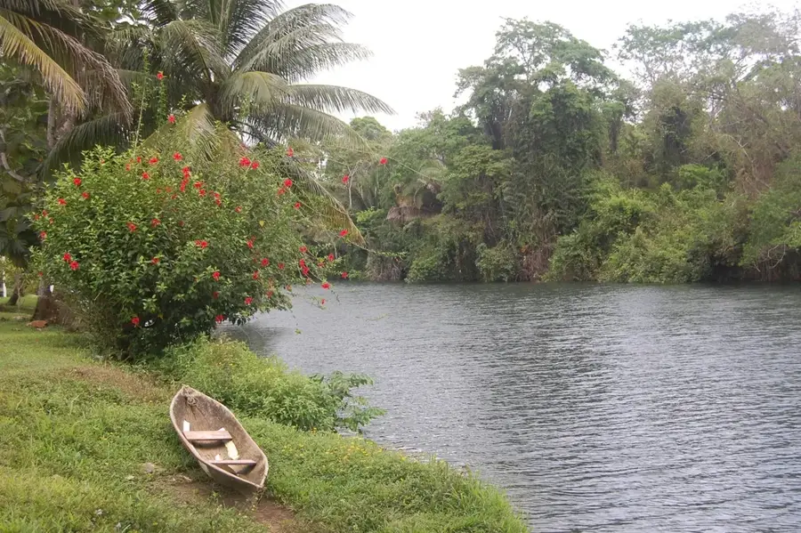
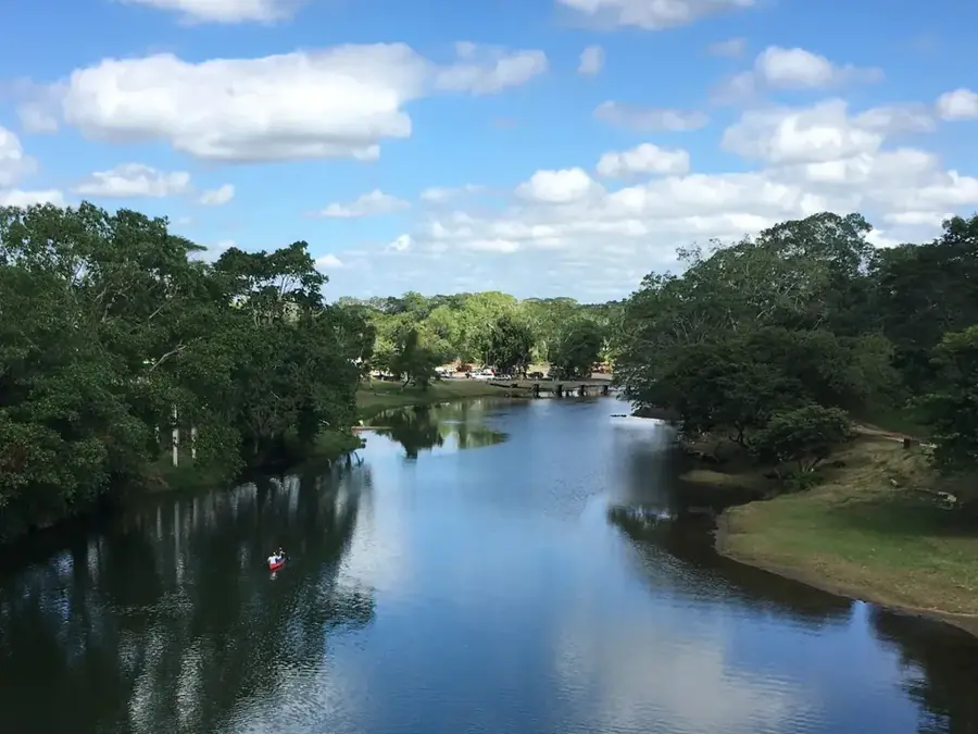
Cerro Guazapa is an extinct volcano located in central El Salvador, about 25 kilometers north of the capital city, San Salvador. Rising to an elevation of 1,438 meters, the mountain is characterized by its heavily eroded profile, as it has shown no volcanic activity for millennia. During the Salvadoran Civil War (1980-1992), Guazapa was a strategically vital location and a major stronghold for guerrilla forces (FMLN), providing a commanding view over the capital and the northern territories. Today, the mountain is a site for ecological recovery and historical remembrance, where visitors can explore the 'tatus' (guerrilla tunnels) and former field hospitals. The vegetation consists of deciduous tropical forest, providing a habitat for various animals such as coyotes, armadillos, and diverse birds of prey. Hiking tours to the summit are often led by former combatants who share their personal history, blending natural exploration with historical context.
- Location: El Salvador
- Nearby: Panchimalco (7 km)
Best time to visit & climate
The most pleasant time to visit is Jan, Nov, Dec.
| Jan | Feb | Mar | Apr | May | Jun | Jul | Aug | Sep | Oct | Nov | Dec | |
|---|---|---|---|---|---|---|---|---|---|---|---|---|
| Avg °C | 23 | 25 | 26 | 27 | 26 | 24 | 25 | 24 | 24 | 23 | 22 | 23 |
| Rain mm | 9 | 8 | 9 | 32 | 152 | 186 | 151 | 189 | 218 | 174 | 43 | 18 |
📋 Practical info
Geography
Facts
- Maximum altitude of 1,438 meters above sea level.
- Extinct volcano with significant geological erosion.
- Strategic guerrilla stronghold during the Salvadoran Civil War.
- Features 'tatus' or underground defensive tunnels.
- Key biological corridor for birds of prey and mammals.
- Located only 25 kilometers north of San Salvador.
Explore nearby
Notable places around
Route planner — Car & Motorhome
Where do you start? We build the route here, with stops and country notes along the way.
© OpenStreetMap contributors · OpenRouteService
Sights nearby
Frequently asked questions
Are there historical tours?
Is the hike demanding?
What do you see at the top?
Do I need a guide?
Are there water sources?
Guazapa Volcano: where is it located?
Guazapa Volcano: when is the best time to visit?
Guazapa Volcano: why is it worth visiting?

Nearby cities
History & landmarks
Nature
More places