Plizio Visual Lab
Cinquera Forest

Weather…
Water temperature…
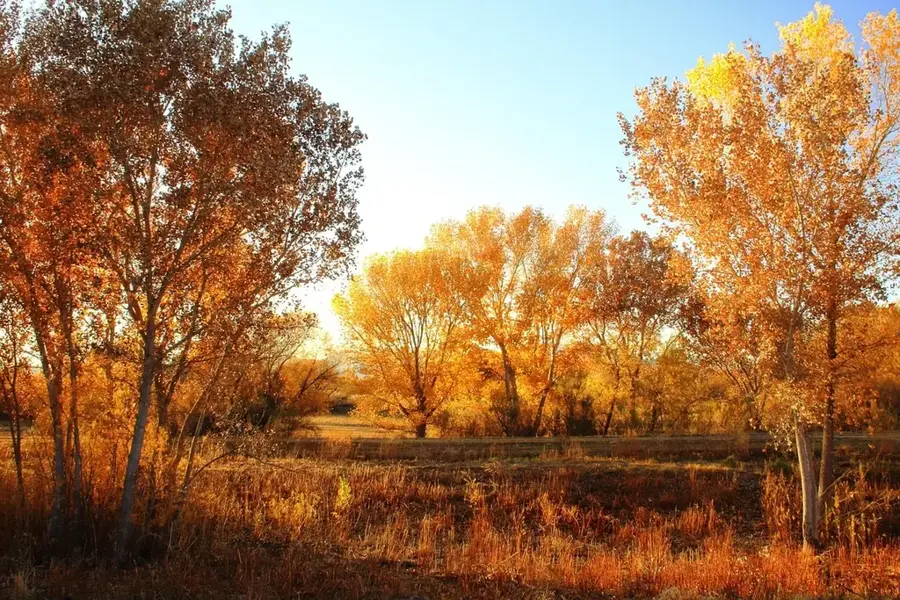
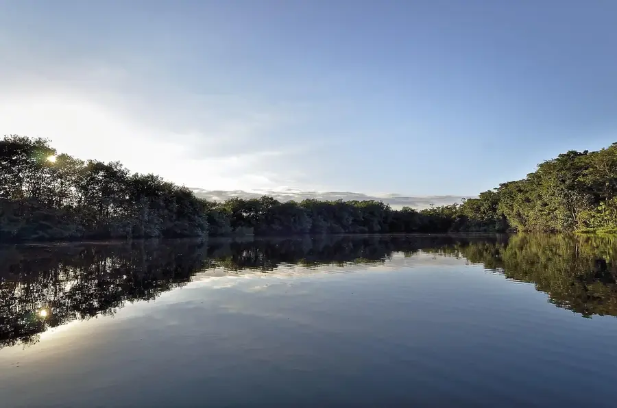
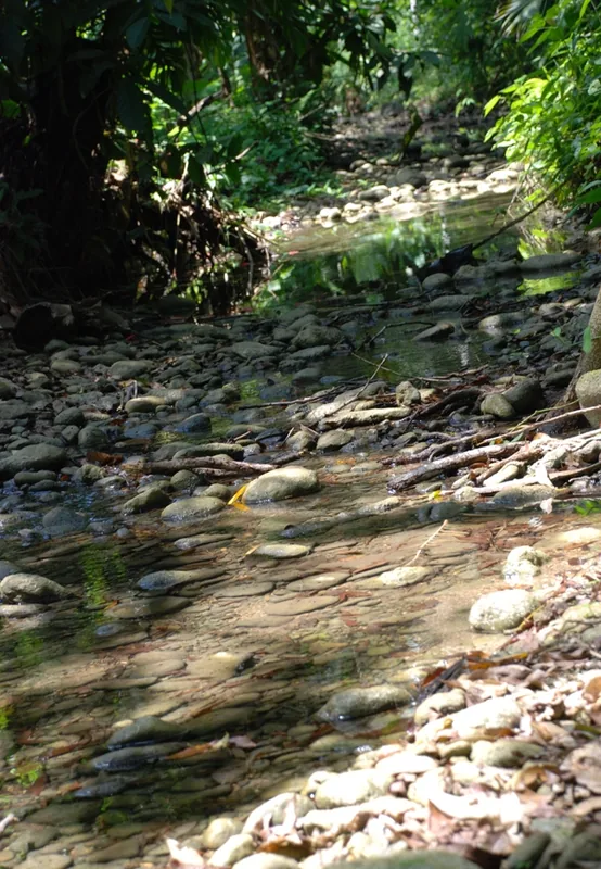
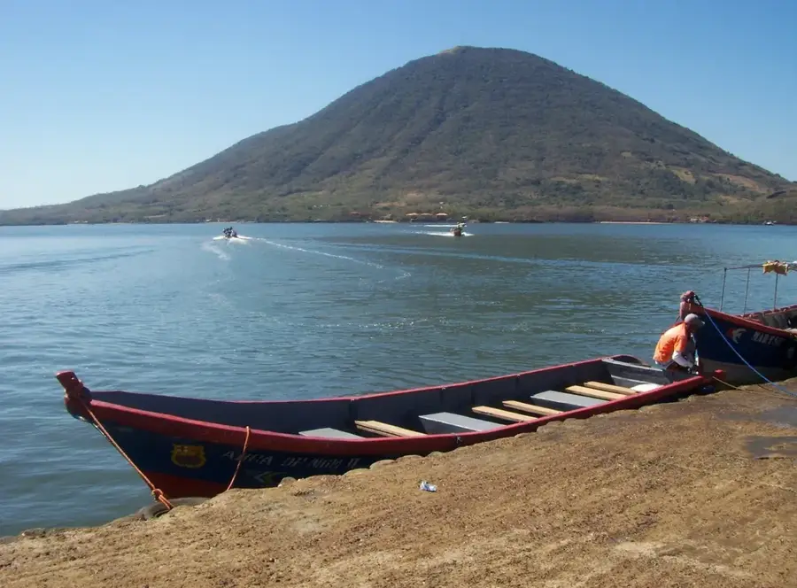
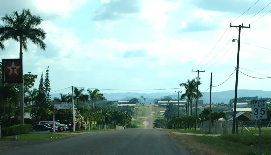
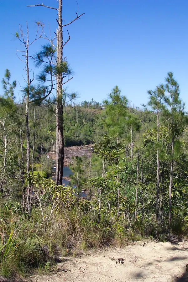
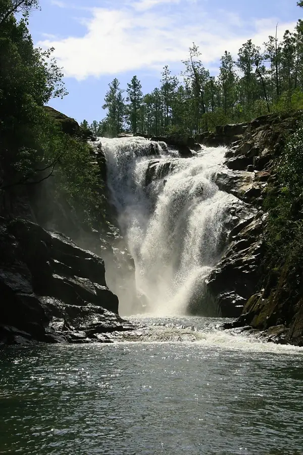
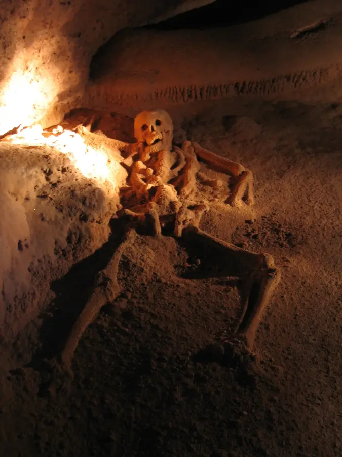
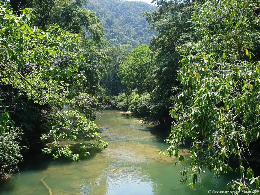
Cinquera Forest (Bosque de Cinquera) is a regenerated tropical dry forest located in the Cabañas and Cuscatlán departments, approximately 75 kilometers from San Salvador. This natural reserve holds immense historical significance, as it served as a primary refuge and operational base for guerrilla forces during the Salvadoran Civil War (1980-1992). Following the conflict, local community efforts led by the ARDM organization secured the protection and reforestation of the area, preventing further logging and environmental degradation. Today, the forest has an impressive variety of flora and fauna, including howler monkeys, deer, and numerous migratory bird species. Hiking trails offer visitors a chance to explore historical sites such as former camps and tunnels, alongside natural attractions like waterfalls and panoramic viewpoints. The forest stands as a premier example of community-led conservation and sustainable ecotourism in Central America, blending ecological preservation with historical memory.
- Location: El Salvador
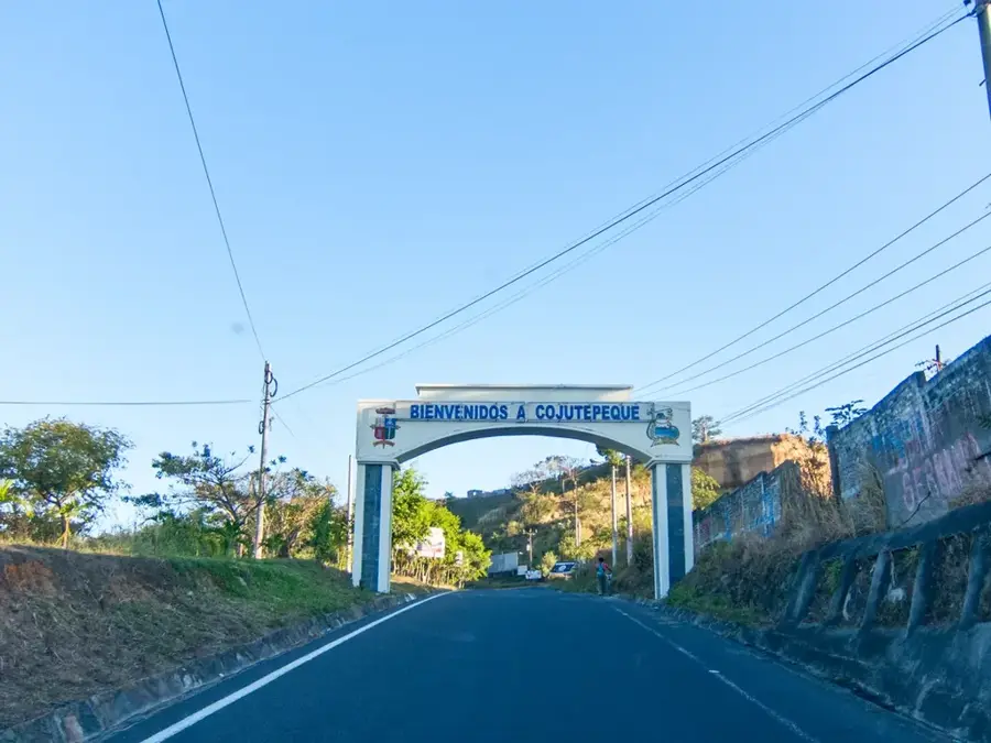
- Nearby: Santiago Nonualco (5 km)
Best time to visit & climate
The most pleasant time to visit is Jan, Nov, Dec.
| Jan | Feb | Mar | Apr | May | Jun | Jul | Aug | Sep | Oct | Nov | Dec | |
|---|---|---|---|---|---|---|---|---|---|---|---|---|
| Avg °C | 23 | 25 | 26 | 27 | 26 | 24 | 25 | 24 | 24 | 23 | 22 | 23 |
| Rain mm | 9 | 8 | 9 | 32 | 152 | 186 | 151 | 189 | 218 | 174 | 43 | 18 |
📋 Practical info
Geography
Facts
- Regenerated tropical dry forest on former conflict territory.
- Strategic stronghold during the Civil War from 1980 to 1992.
- Managed by the local community organization ARDM.
- Home to more than 150 different species of birds.
- Features historic 'tatus' (guerrilla tunnels) open to visitors.
- Protected area crucial for the conservation of local water sources.
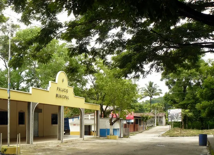
Explore nearby
Notable places around
Route planner — Car & Motorhome
Where do you start? We build the route here, with stops and country notes along the way.
© OpenStreetMap contributors · OpenRouteService
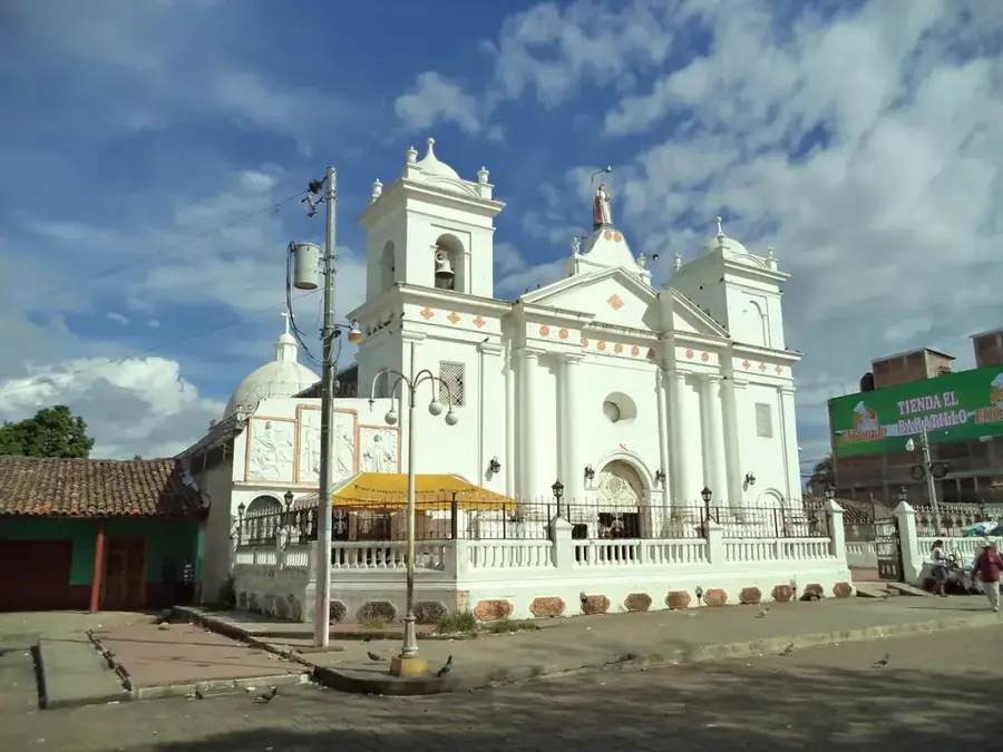
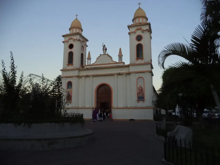
Sights in the town Cinquera Forest (1)
Sights nearby
Frequently asked questions
Is the area family-friendly?
Do I have to pay an entry fee?
How long does a tour take?
Are there wheelchair paths?
Are there wild animals?
Cinquera Forest: where is it located?
Cinquera Forest: when is the best time to visit?
Cinquera Forest: why is it worth visiting?

Nearby cities
History & landmarks

Nature

More places