Plizio Visual Lab
Yaque del Norte
Weather…
Water temperature…
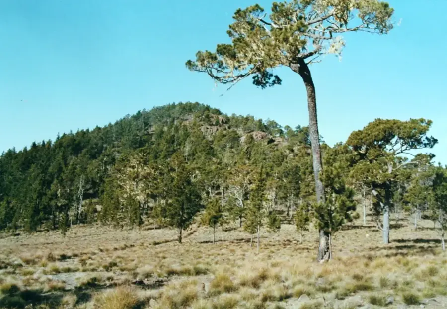
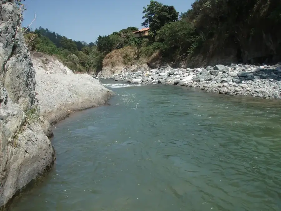
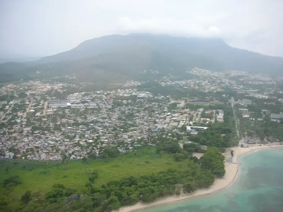
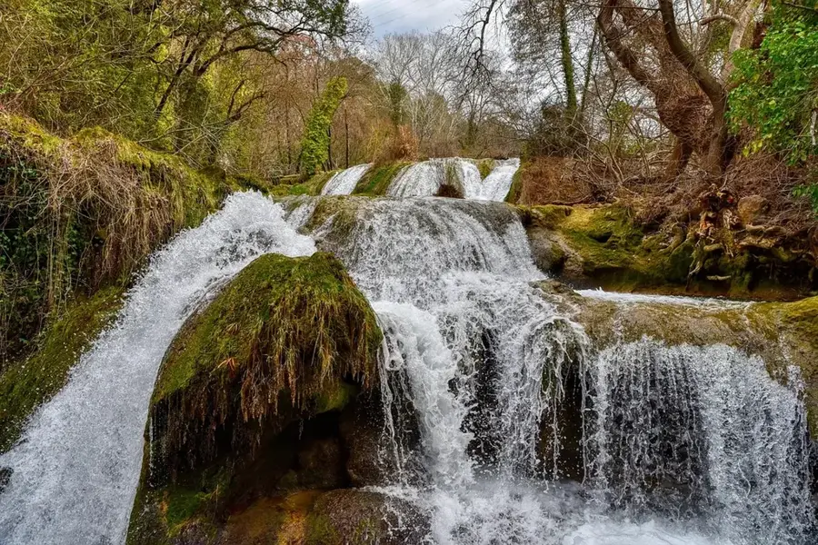
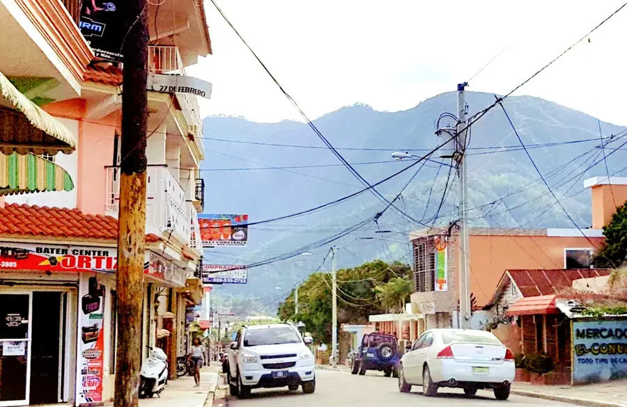
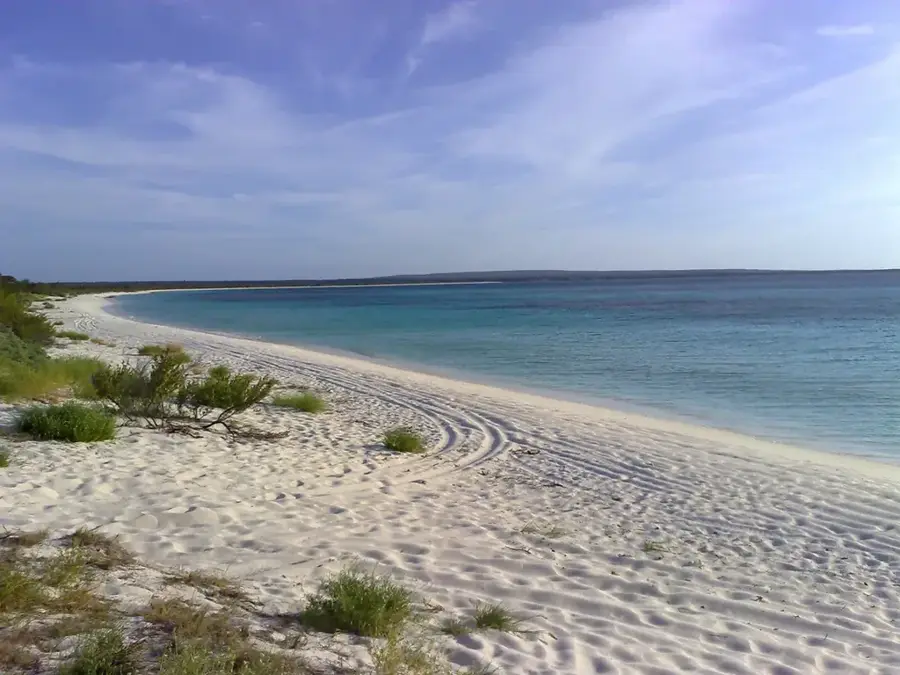
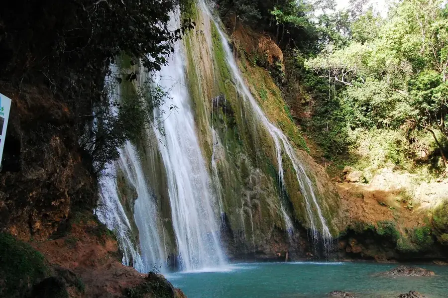
The Yaque del Norte is the longest and most vital river in the Dominican Republic, stretching approximately 298 kilometers across the northern half of the island. It originates high in the Cordillera Central mountains near Pico Duarte, at an elevation of about 2,500 meters above sea level. Flowing northwest, it carves through the Cibao Valley, the nation's most fertile agricultural region, often referred to as the 'breadbasket' of the Dominican Republic. The river provides critical irrigation for vast plantations of rice, tobacco, and bananas through an extensive network of man-made canals. Beyond its economic role, the river's upper reaches near Jarabacoa offer the best white-water rafting and canyoning experiences in the Caribbean. Along its path, it feeds several major hydroelectric dams, such as Tavera and Bao, which are essential for the country's power grid and urban water supply. The Yaque del Norte finally empties into the Atlantic Ocean near Monte Cristi, where it forms an ecologically rich delta system characterized by expansive mangrove forests and coastal wetlands.
- Location: Dominican Republic
- Nearby: Mao (9 km)
Best time to visit & climate
The most pleasant time to visit is Jan, Feb, Dec.
| Jan | Feb | Mar | Apr | May | Jun | Jul | Aug | Sep | Oct | Nov | Dec | |
|---|---|---|---|---|---|---|---|---|---|---|---|---|
| Avg °C | 23 | 23 | 24 | 25 | 26 | 28 | 28 | 28 | 27 | 27 | 25 | 23 |
| Rain mm | 41 | 24 | 37 | 38 | 52 | 32 | 35 | 43 | 46 | 51 | 76 | 46 |
📋 Practical info
Geography
Facts
- The river spans exactly 298 kilometers from its source to the Atlantic Ocean.
- Its drainage basin encompasses over 7,000 square kilometers, roughly 15% of the national territory.
- The Tavera Dam, completed in 1973, is a primary source of hydroelectric power for the northern region.
- It is the only river in the Caribbean where high-level white-water rafting is commercially viable.
- The river was originally called 'Rio de Oro' (River of Gold) by early Spanish explorers.
- Major tributaries include the Jimenoa and Bao rivers, which join the main stem in the highlands.
Explore nearby
Notable places around
Route planner — Car & Motorhome
Where do you start? We build the route here, with stops and country notes along the way.
© OpenStreetMap contributors · OpenRouteService
Sights nearby
Frequently asked questions
Is rafting possible?
Can you swim in the river?
How long is the river?
What animals live there?
Is the water clean?
Yaque del Norte: where is it located?
Yaque del Norte: when is the best time to visit?
Yaque del Norte: why is it worth visiting?

Nearby cities

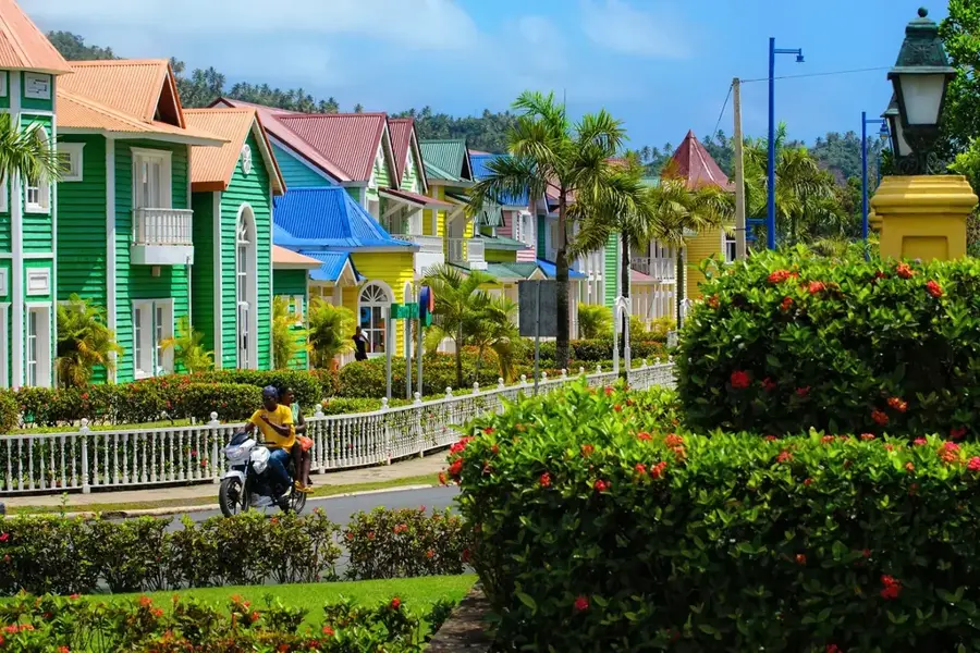
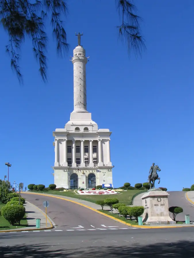
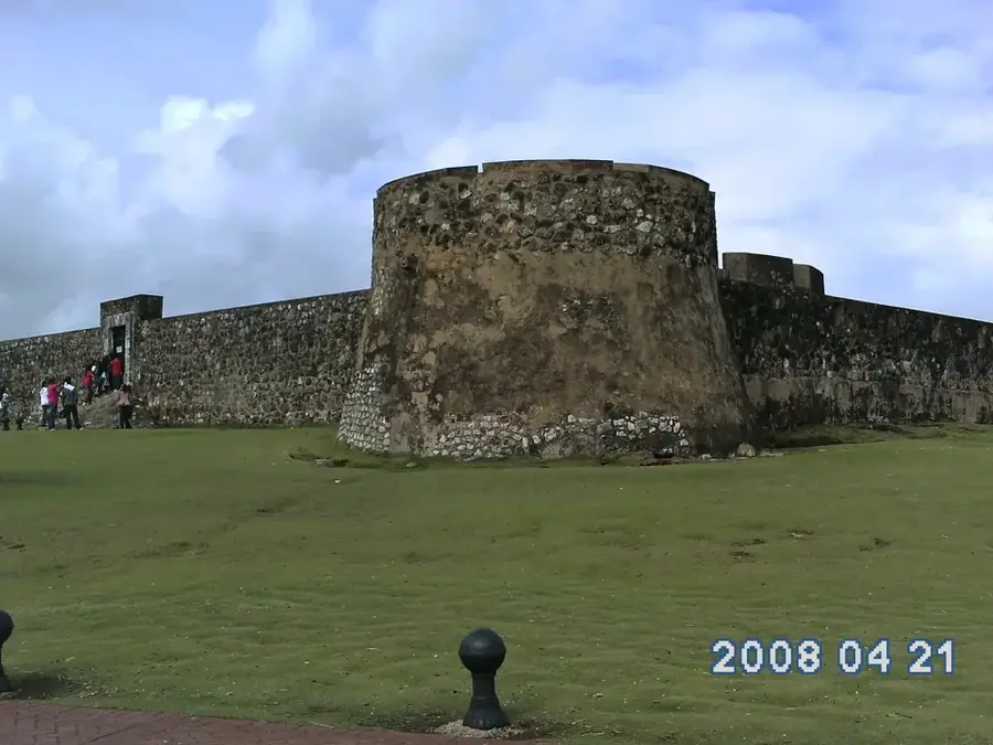
History & landmarks

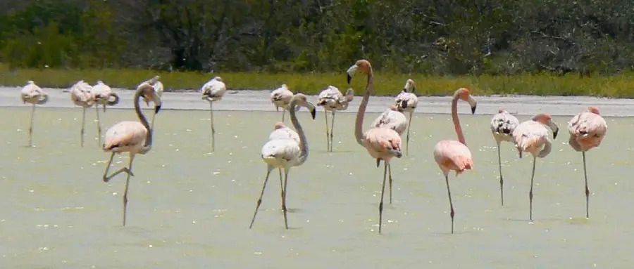
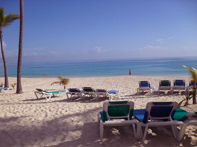
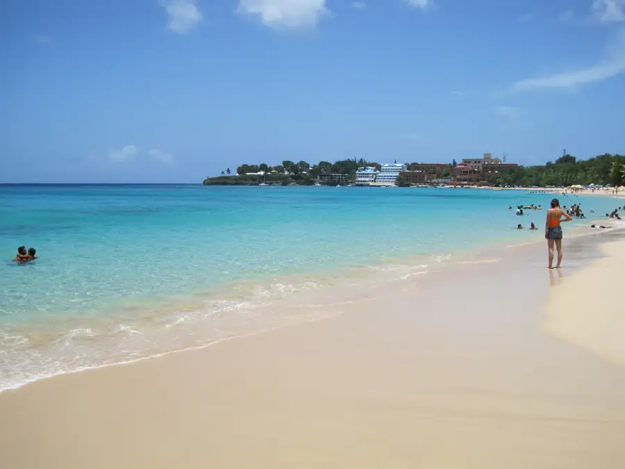
Nature
More places