Plizio Visual Lab
Sierra de Altamira
Weather…
Water temperature…
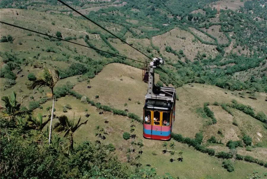
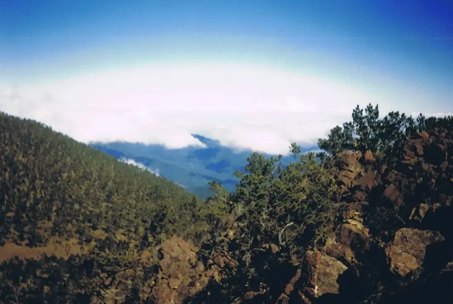
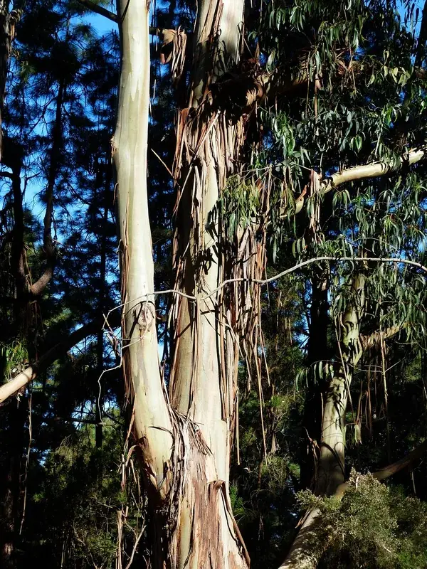
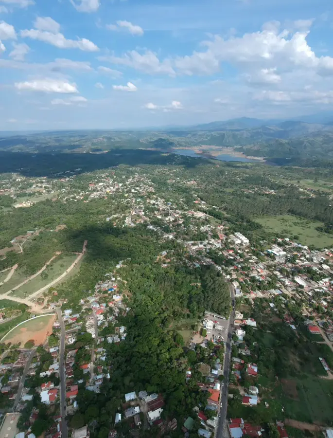
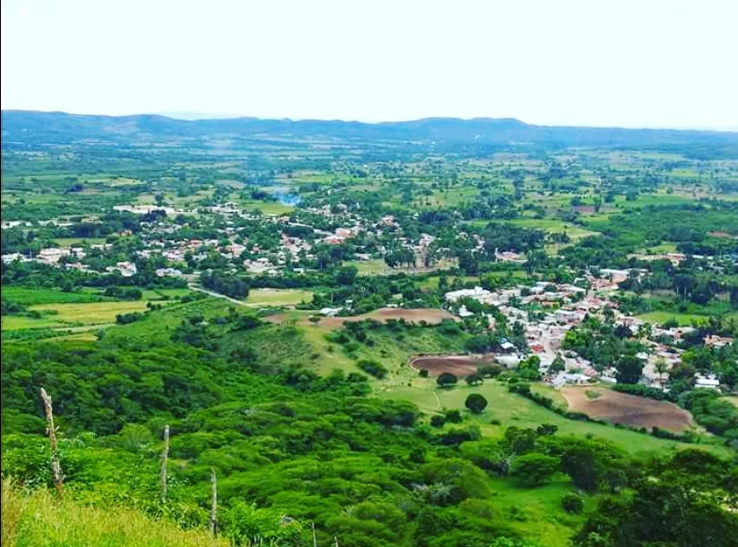
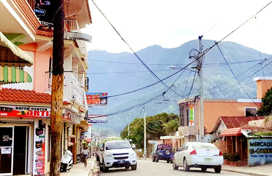
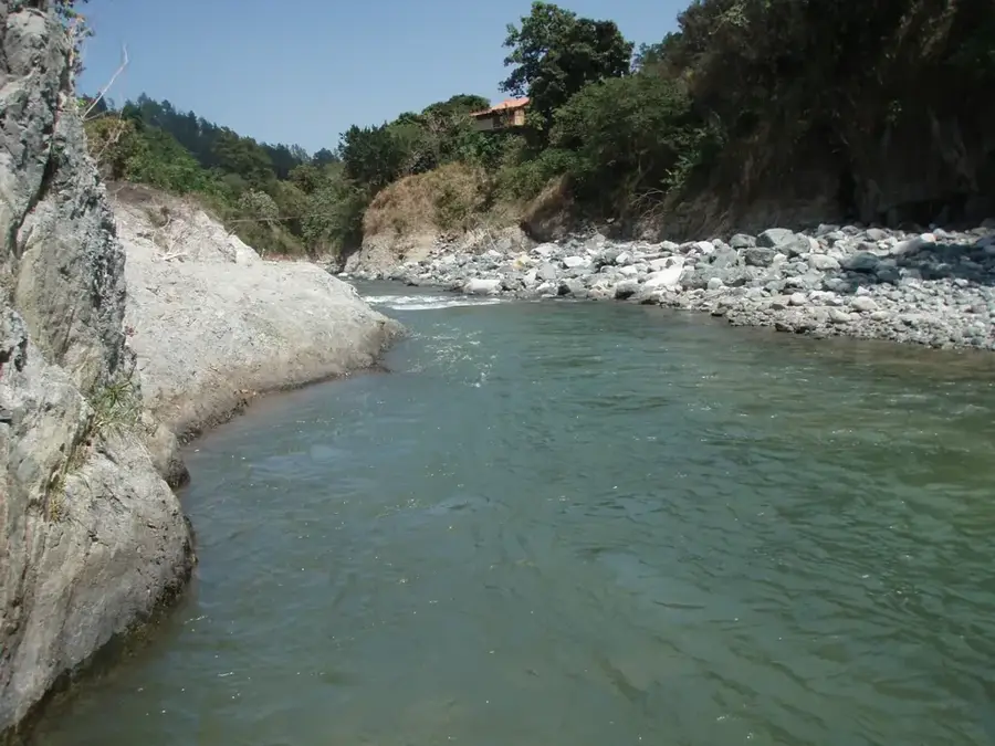
The Sierra de Altamira is a section of the Cordillera Septentrional in the northern Dominican Republic, located on the border between the Puerto Plata and Santiago provinces. This range is geographically significant as it forms a natural pass connecting the coastal region of Puerto Plata with the central Cibao Valley. Historically, the sierra is associated with the 'Paso de los Hidalgos,' the route taken by Christopher Columbus and his men to explore the island's interior. The topography is characterized by steep hills and elevations ranging from 600 to 800 meters. The humid climate favors the cultivation of coffee and cocoa, while the valleys are used for cattle ranching. Geologically, the range consists of sedimentary rocks such as marl and limestone deposited during the Miocene epoch. The region features spectacular views of both sides of the range and remains a vital corridor for internal transportation.
- Location: Dominican Republic
- Nearby: Altamira (6 km)
Best time to visit & climate
The most pleasant time to visit is Jan, Feb, Dec.
| Jan | Feb | Mar | Apr | May | Jun | Jul | Aug | Sep | Oct | Nov | Dec | |
|---|---|---|---|---|---|---|---|---|---|---|---|---|
| Avg °C | 23 | 23 | 24 | 25 | 26 | 28 | 28 | 28 | 27 | 27 | 25 | 23 |
| Rain mm | 41 | 24 | 37 | 38 | 52 | 32 | 35 | 43 | 46 | 51 | 76 | 46 |
📋 Practical info
Geography
Facts
- Part of the Cordillera Septentrional in the north.
- Contains the historic Paso de los Hidalgos route.
- Average elevation ranges between 600 and 800 meters.
- Critical link between the cities of Santiago and Puerto Plata.
- Geology features Miocene-era marl and limestone.
- Center for coffee and cocoa production in the northern region.
Explore nearby
Notable places around
Route planner — Car & Motorhome
Where do you start? We build the route here, with stops and country notes along the way.
© OpenStreetMap contributors · OpenRouteService
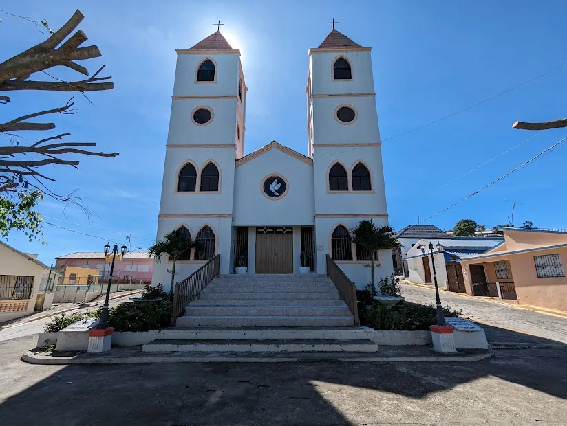
Sights in the town Sierra de Altamira (1)
Sights nearby
Frequently asked questions
Are there hiking trails in Altamira?
Do I need a guide?
How do you reach the Sierra?
Are there caves in the region?
What should I bring?
Sierra de Altamira: where is it located?
Sierra de Altamira: when is the best time to visit?
Sierra de Altamira: why is it worth visiting?

Nearby cities

History & landmarks
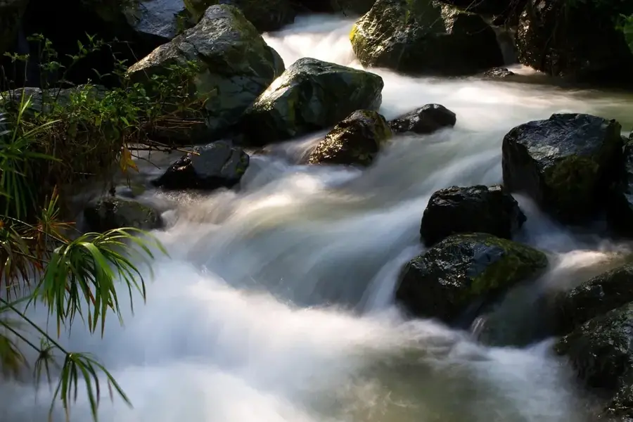
Nature
More places