Plizio Visual Lab
Ozama River
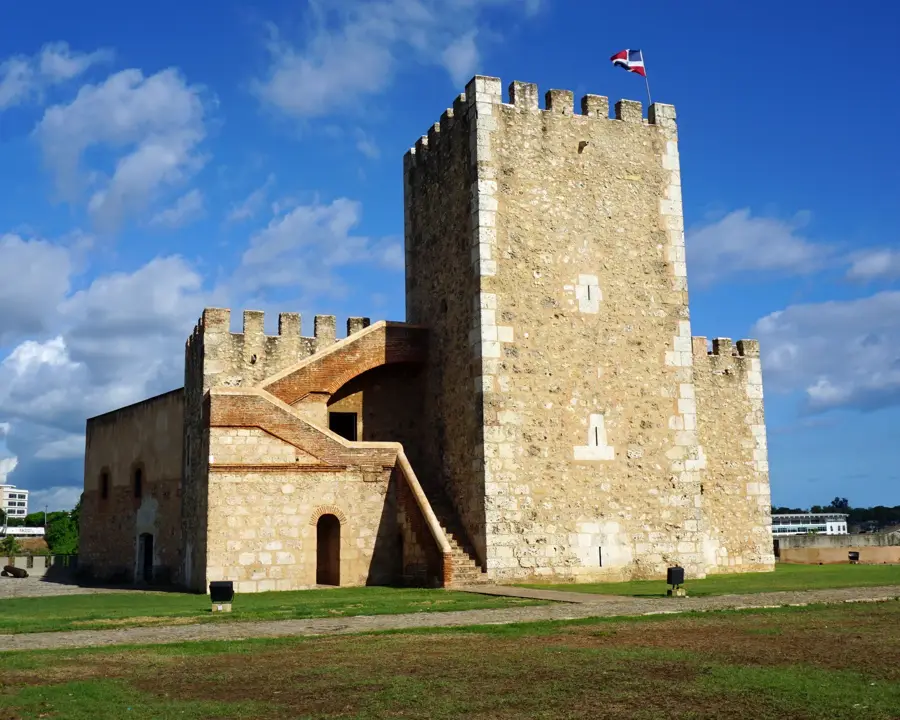
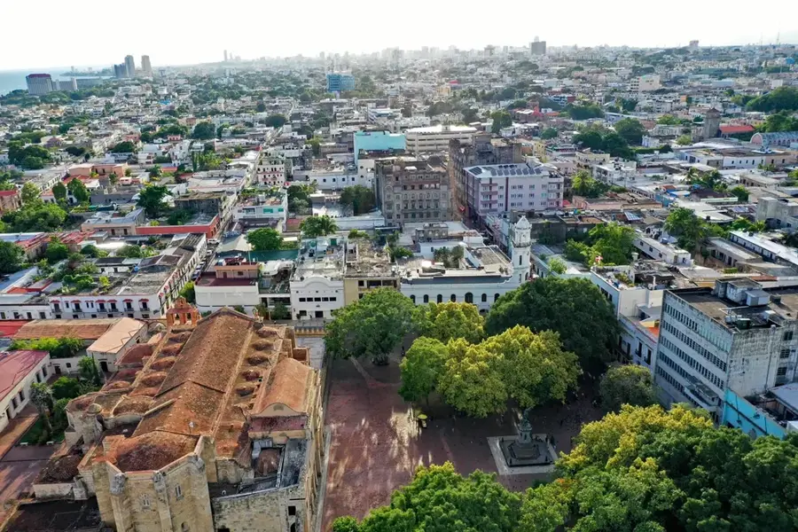
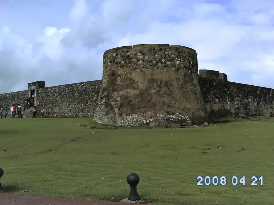
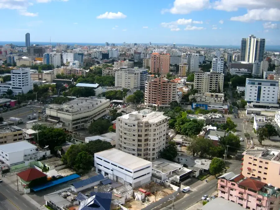
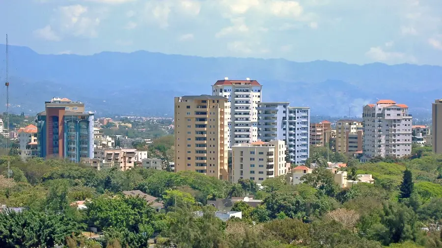
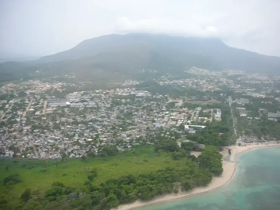
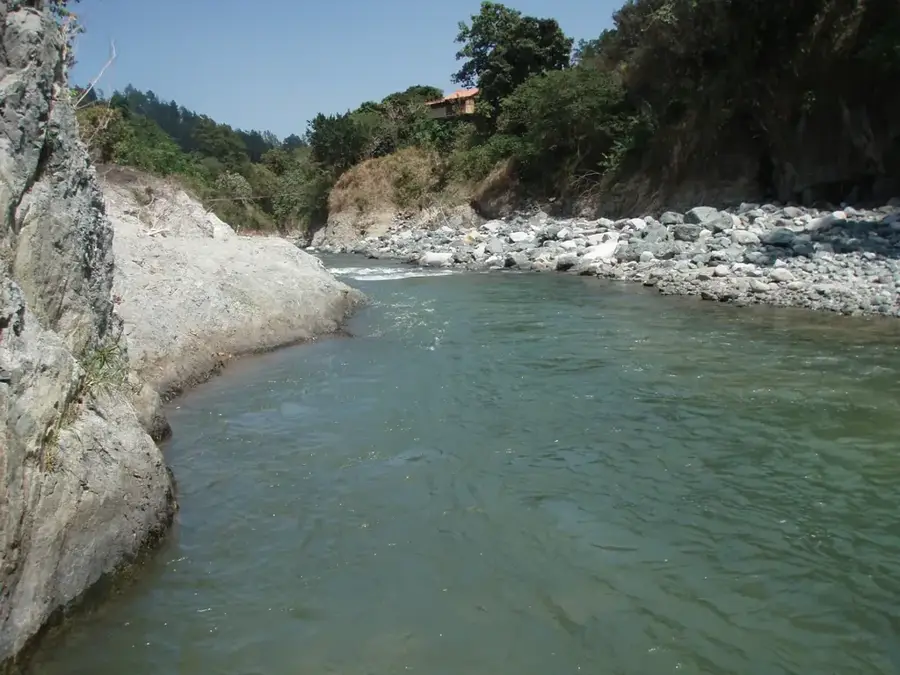
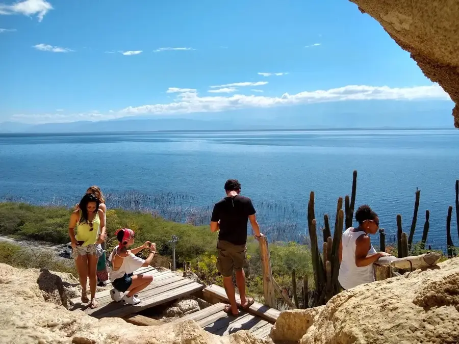
The Ozama River is one of the most voluminous and historically vital waterways in the Dominican Republic. Stretching approximately 148 kilometers, it originates in the Sierra de Yamasá and flows southward until emptying into the Caribbean Sea at the Port of Santo Domingo. The river's deep natural estuary was the decisive factor for the Spanish Crown to establish the first permanent European settlement in the Americas here in the late 15th century. To this day, the commanding Fortaleza Ozama, the oldest military fort in the New World, guards the river entrance, symbolizing its strategic colonial importance. In its lower reaches, the Ozama acts as a major geographical divider between the National District and East Santo Domingo. Despite its profound historical legacy, the river currently faces severe environmental pressure from industrial runoff and urban waste. Recent international and local initiatives have focused on revitalizing the river, implementing modern cleaning technologies to restore its ecological health and transform its banks into sustainable public spaces for the city's three million residents.
- Location: Dominican Republic
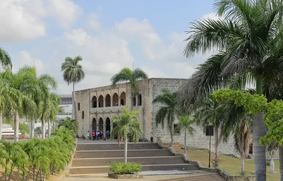
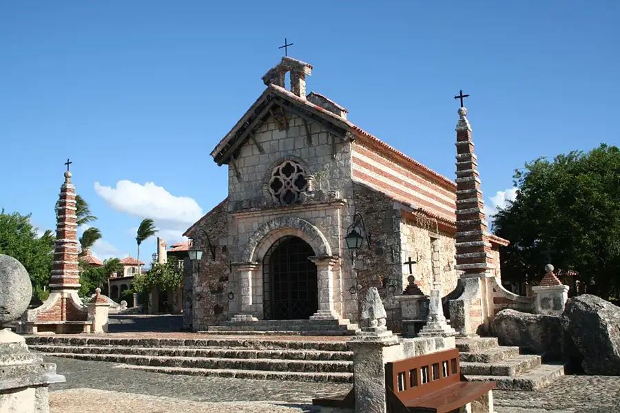
- Top sights: Port of Santo Domingo · Cathedral of Santo Domingo · Roman Catholic Archdiocese of Santo Domingo
- Nearby: Santo Domingo Este (5 km)
Best time to visit & climate
The most pleasant time to visit is Jan–Mar.
| Jan | Feb | Mar | Apr | May | Jun | Jul | Aug | Sep | Oct | Nov | Dec | |
|---|---|---|---|---|---|---|---|---|---|---|---|---|
| Avg °C | 25 | 25 | 25 | 26 | 27 | 27 | 28 | 28 | 28 | 27 | 26 | 25 |
| Rain mm | 24 | 21 | 22 | 40 | 68 | 48 | 55 | 68 | 60 | 64 | 68 | 42 |
📋 Practical info
Geography
Facts
- The mouth of the Ozama provided the first safe harbor for the Spanish Empire in the New World.
- The river spans 148 kilometers and drains a basin of roughly 2,685 square kilometers.
- The Isabela River is its primary tributary, merging with the Ozama in the heart of the capital.
- Fortaleza Ozama's Tower of Homage was built in 1503 to provide a lookout over the river mouth.
- Historically, the river was deep enough to allow large galleons to sail several kilometers inland.
- The 'Interceptor 004' solar-powered boat was installed in 2020 to extract thousands of tons of floating trash.
Explore nearby
Notable places around
Route planner — Car & Motorhome
Where do you start? We build the route here, with stops and country notes along the way.
© OpenStreetMap contributors · OpenRouteService
Sights in the town Ozama River (3)
Sights nearby
Frequently asked questions
Where does the Ozama flow?
Are boat tours available?
How deep is the river?
Are there historic buildings on the banks?
Is the river polluted?
Ozama River: where is it located?
Ozama River: what is there to see?
Ozama River: when is the best time to visit?
Ozama River: why is it worth visiting?

Nearby cities
History & landmarks
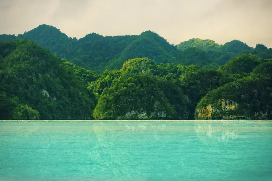
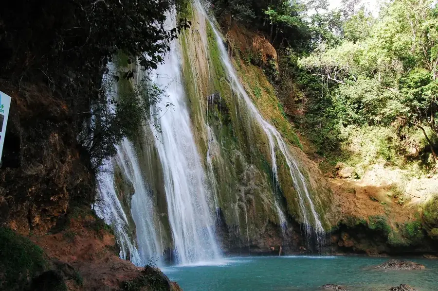
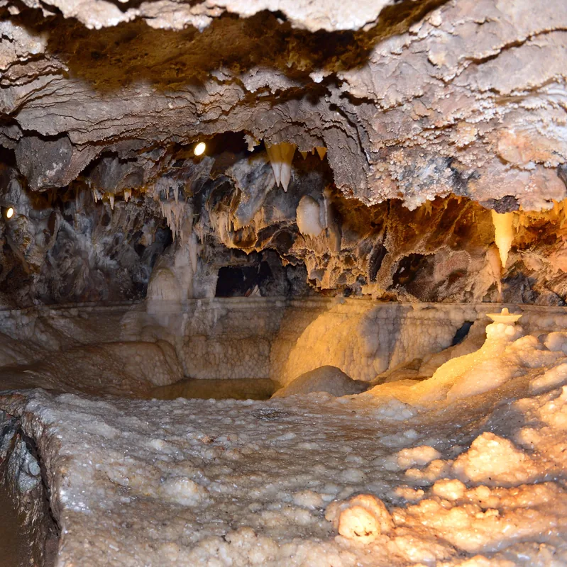

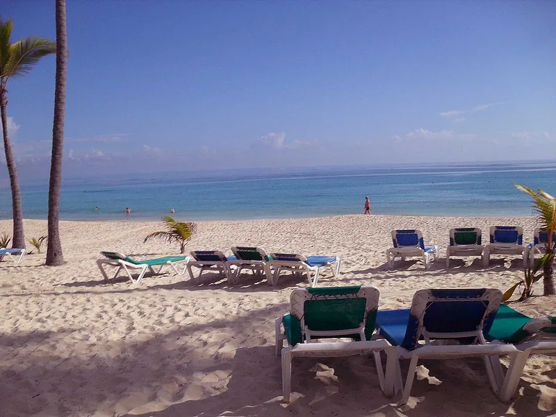
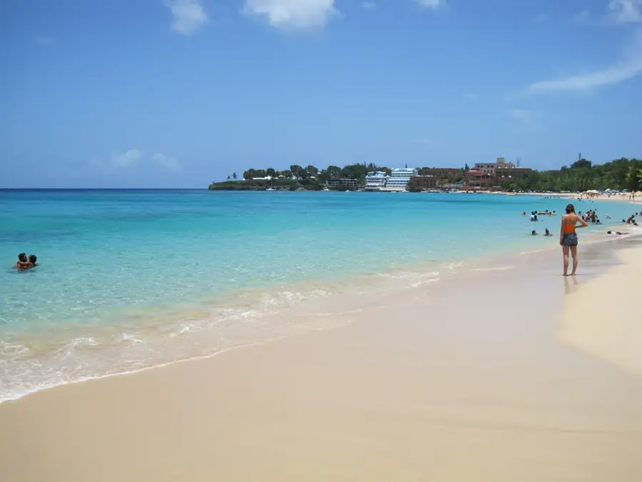
Nature
More places