Plizio Visual Lab
Los Haitises National Park
Weather…
Water temperature…
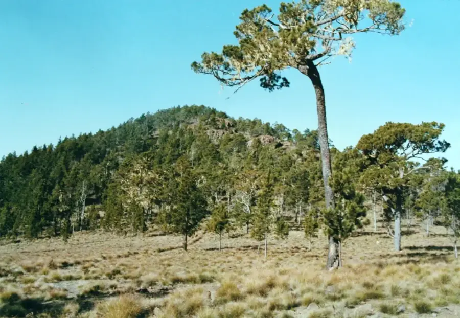
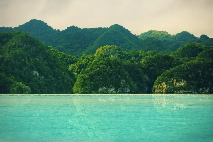
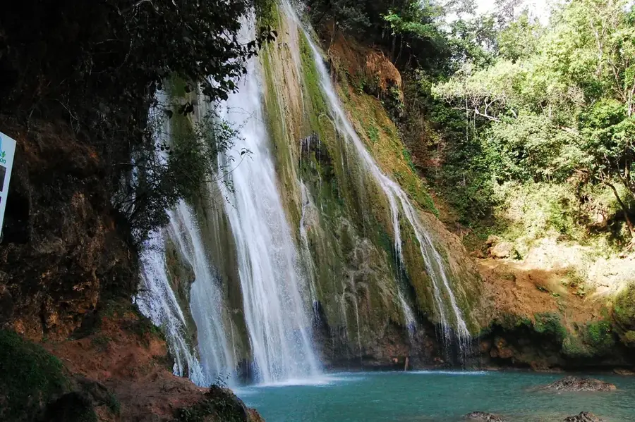
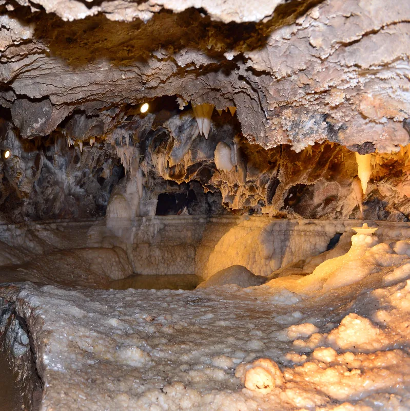
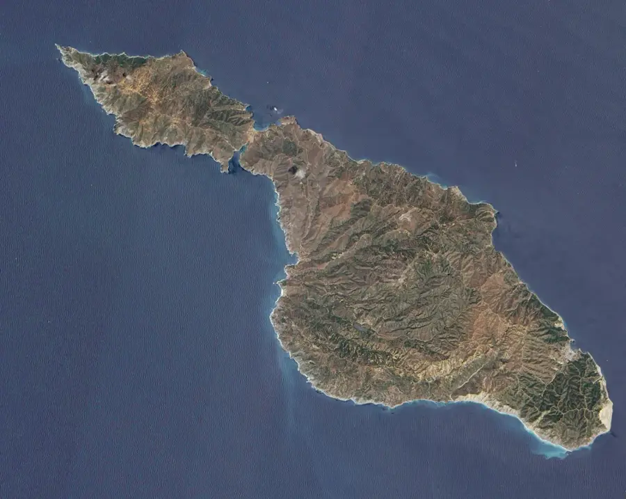
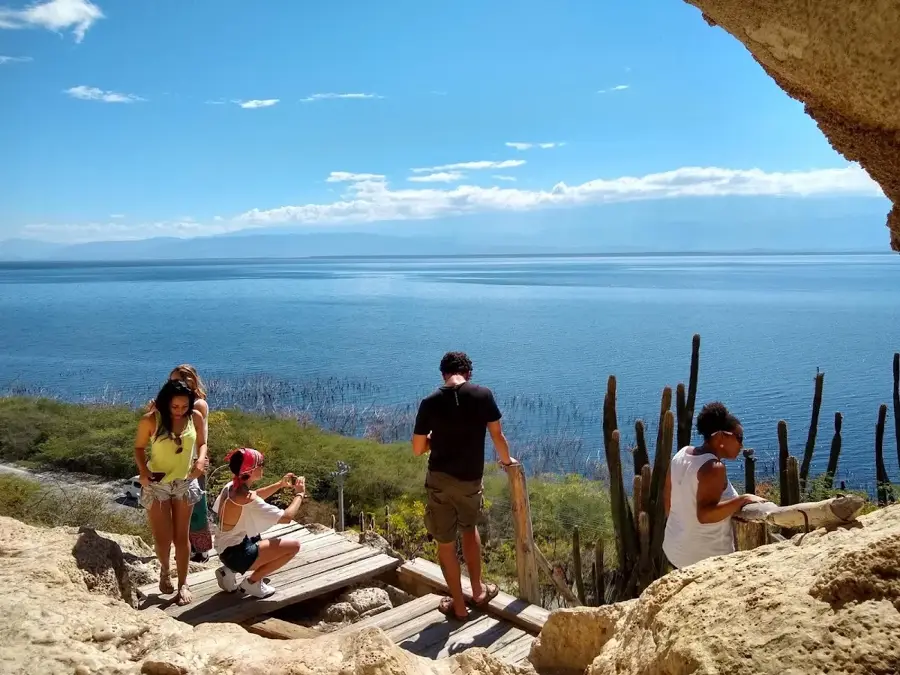
Los Haitises National Park is located along the Samaná Bay in the northeastern Dominican Republic and is one of the country's most spectacular ecosystems. Established in 1976, the park covers a vast area characterized by striking karst limestone formations known as 'mogotes,' which rise up to 40 meters from the water. The region is famous for its dense mangrove forests, which serve as vital nurseries for numerous marine species, as well as a complex system of caves. Within caves such as Cueva de la Arena and Cueva de la Línea, significant Taíno petroglyphs and pictographs can be found, providing evidence of the site's ritual importance to indigenous people. The park hosts an exceptional variety of birdlife, including the endangered Hispaniolan hawk and numerous magnificent frigatebirds. Due to its biological significance and fragile karst landscape, access to the park is strictly regulated and is mostly conducted by boat from Samaná or Sabana de la Mar.
- Location: Dominican Republic
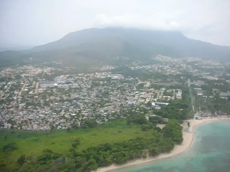
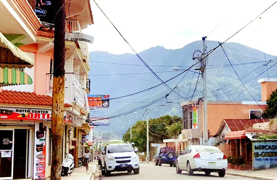
- Nearby: Las Terrenas (11 km)
Best time to visit & climate
The most pleasant time to visit is Jan–Mar.
| Jan | Feb | Mar | Apr | May | Jun | Jul | Aug | Sep | Oct | Nov | Dec | |
|---|---|---|---|---|---|---|---|---|---|---|---|---|
| Avg °C | 25 | 25 | 25 | 26 | 27 | 28 | 28 | 28 | 28 | 27 | 26 | 25 |
| Rain mm | 45 | 32 | 32 | 50 | 81 | 46 | 63 | 68 | 70 | 67 | 83 | 57 |
📋 Practical info
Geography
Facts
- The national park was officially established on June 3, 1976.
- The name 'Haitises' means 'Hilly Land' in the indigenous Taíno language.
- The karst formations were created millions of years ago during the Miocene.
- The park encompasses a land area of approximately 1,600 square kilometers.
- There are over 60 different species of bromeliads found within the area.
- The park has served as a filming location for various international movies.
Explore nearby
Notable places around
Route planner — Car & Motorhome
Where do you start? We build the route here, with stops and country notes along the way.
© OpenStreetMap contributors · OpenRouteService
Sights nearby
Frequently asked questions
How to get to the park?
Are there caves?
What are Mogotes?
Can you go bird watching?
Do I need rain gear?
Los Haitises National Park: where is it located?
Los Haitises National Park: when is the best time to visit?
Los Haitises National Park: why is it worth visiting?

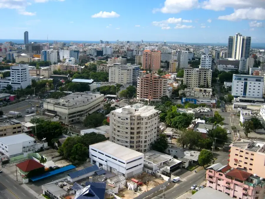
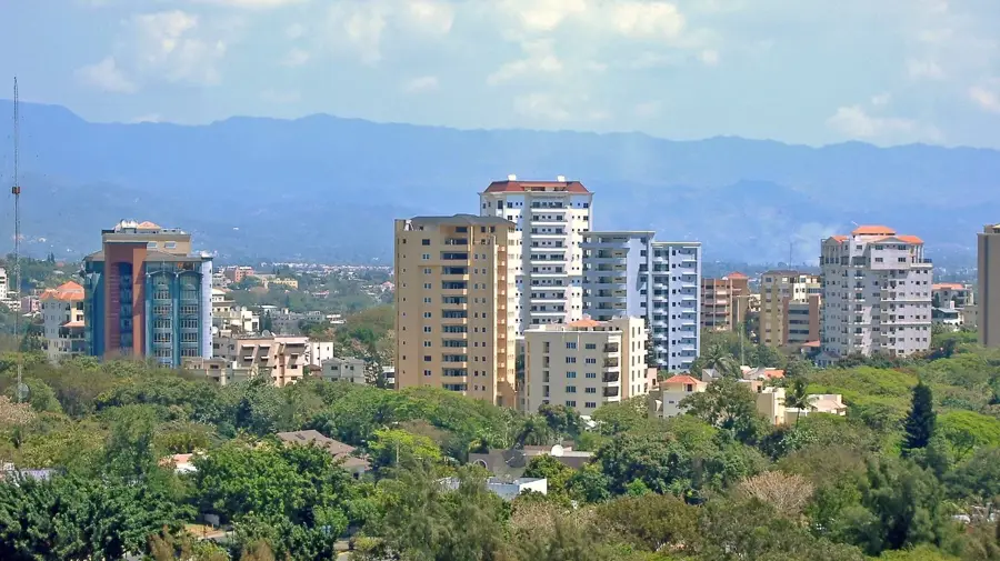
Nearby cities
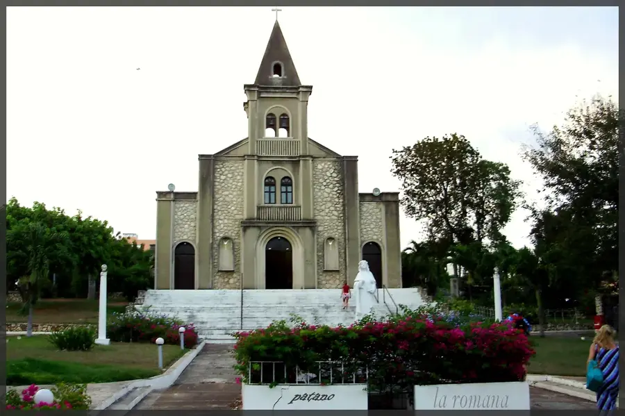

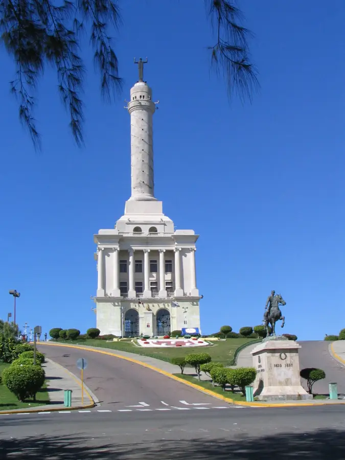
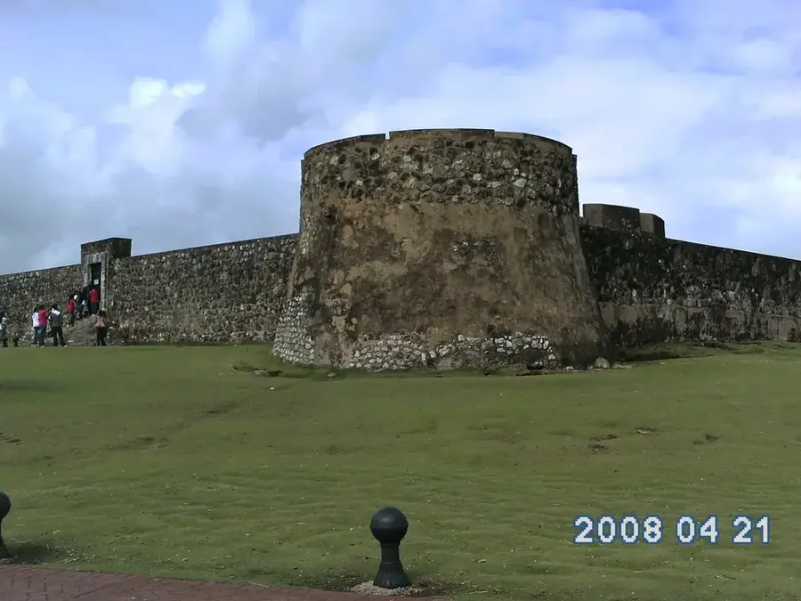
History & landmarks

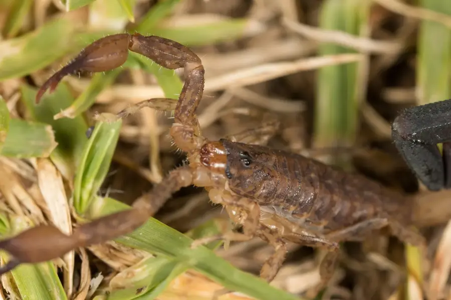
Nature
More places