Plizio Visual Lab
Samaná Bay
Weather…
Water temperature…
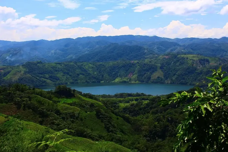
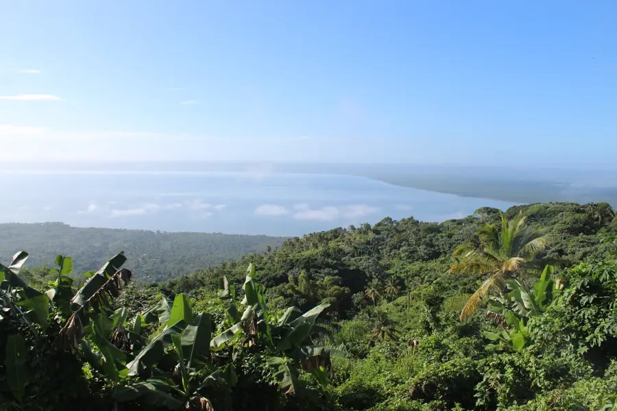
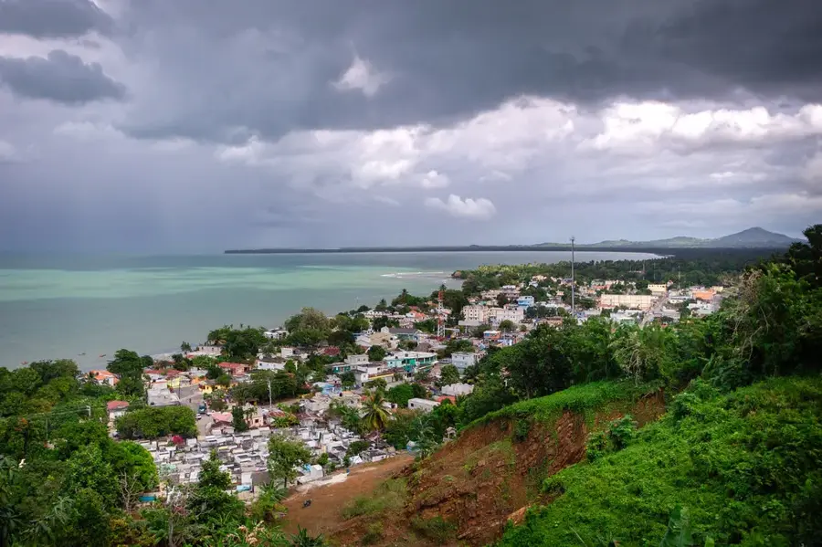
Samaná Bay (Bahía de Samaná) is situated on the northeastern coast of the Dominican Republic and is one of the most significant marine bays in the Caribbean. It extends for approximately 58 kilometers and is internationally renowned as one of the primary breeding and calving grounds for North Atlantic humpback whales. Every year between January and March, thousands of these marine mammals migrate to the warm waters of the bay, making Samaná a hub for international whale-watching tourism. At the western end of the bay lies the Los Haitises National Park, an ecologically sensitive area featuring dense mangroves, ancient caves, and distinctive limestone karst formations called mogotes. The bay is fed by several rivers, most notably the Yuna River, which provides a rich supply of nutrients supporting a diverse marine ecosystem. Historically, the bay was a highly sought-after strategic location for European colonial powers and pirates due to its sheltered position. Today, it serves as a prominent symbol of environmental conservation and sustainable regional development.
- Location: Dominican Republic
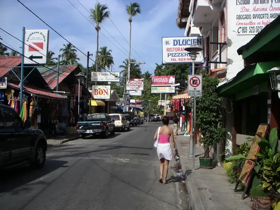
- Nearby: Sabana de la Mar (5 km)
Best time to visit & climate
The most pleasant time to visit is Jan–Mar.
| Jan | Feb | Mar | Apr | May | Jun | Jul | Aug | Sep | Oct | Nov | Dec | |
|---|---|---|---|---|---|---|---|---|---|---|---|---|
| Avg °C | 25 | 25 | 25 | 26 | 27 | 28 | 28 | 28 | 28 | 27 | 26 | 25 |
| Rain mm | 45 | 32 | 32 | 50 | 81 | 46 | 63 | 68 | 70 | 67 | 83 | 57 |
📋 Practical info
Geography
Facts
- The bay covers a surface area of approximately 1,000 square kilometers.
- About 1,500 to 2,000 humpback whales visit the bay each year.
- The maximum water depth in the bay is approximately 45 meters.
- The Los Haitises National Park was officially established in 1976.
- Cayo Levantado is the most famous island located within the bay.
- The Yuna River, the Dominican Republic's largest river by volume, empties here.
Explore nearby
Notable places around
Route planner — Car & Motorhome
Where do you start? We build the route here, with stops and country notes along the way.
© OpenStreetMap contributors · OpenRouteService
Sights nearby
Frequently asked questions
When is the best time to visit?
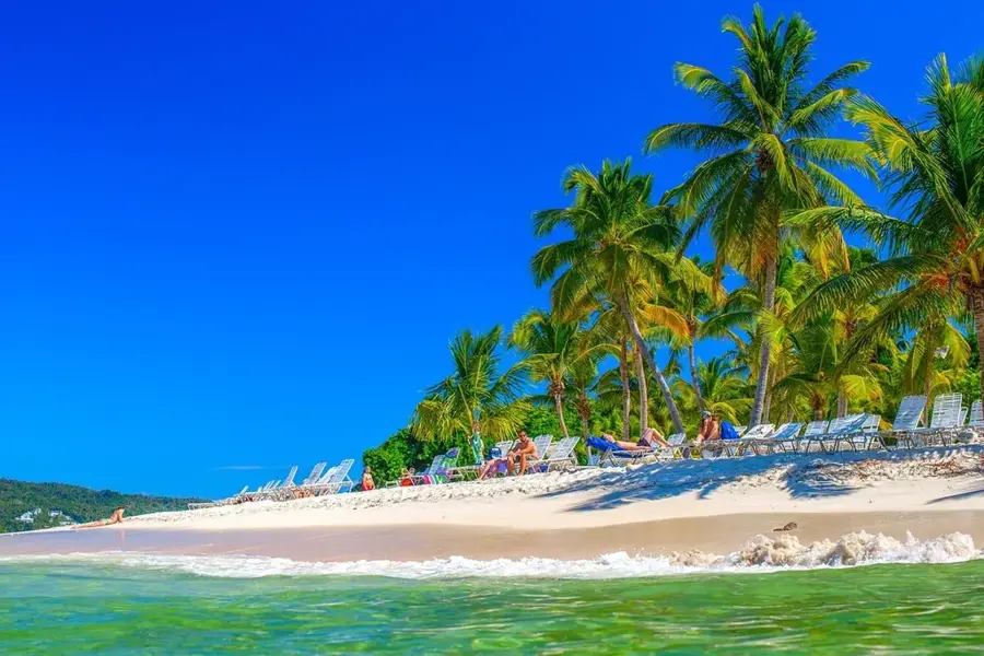
Are there beautiful beaches?
Can you visit Los Haitises from here?
Is the bay safe for sailing?
Is there an airport nearby?
Samaná Bay: where is it located?
Samaná Bay: when is the best time to visit?
Samaná Bay: why is it worth visiting?

Nearby cities
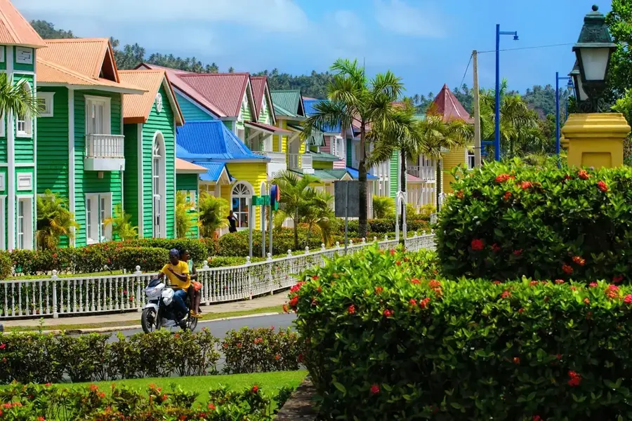
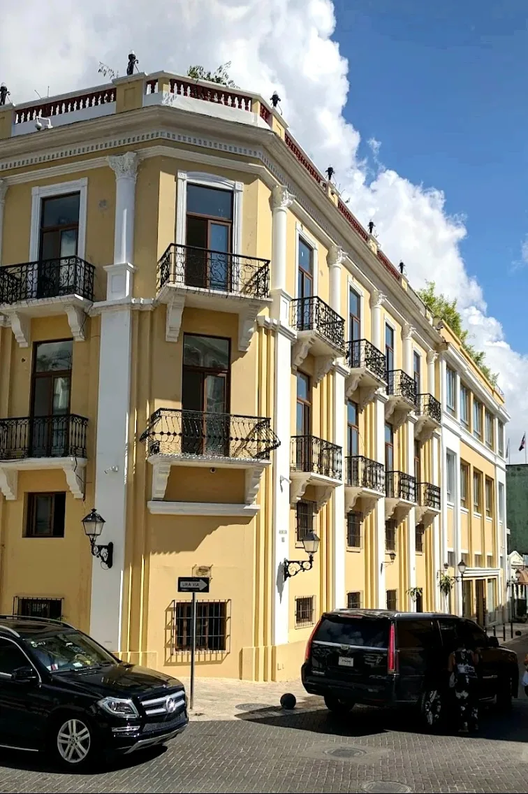


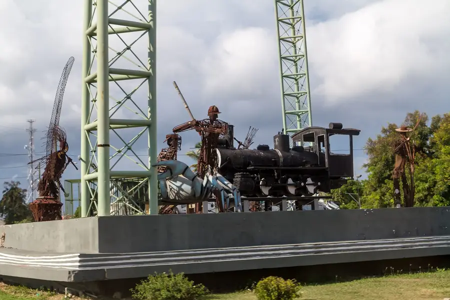
History & landmarks
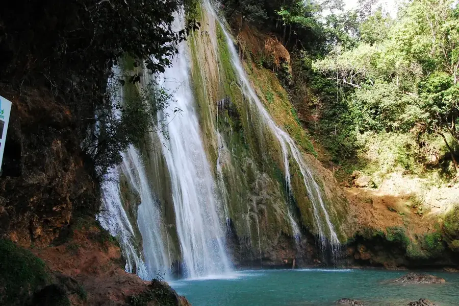
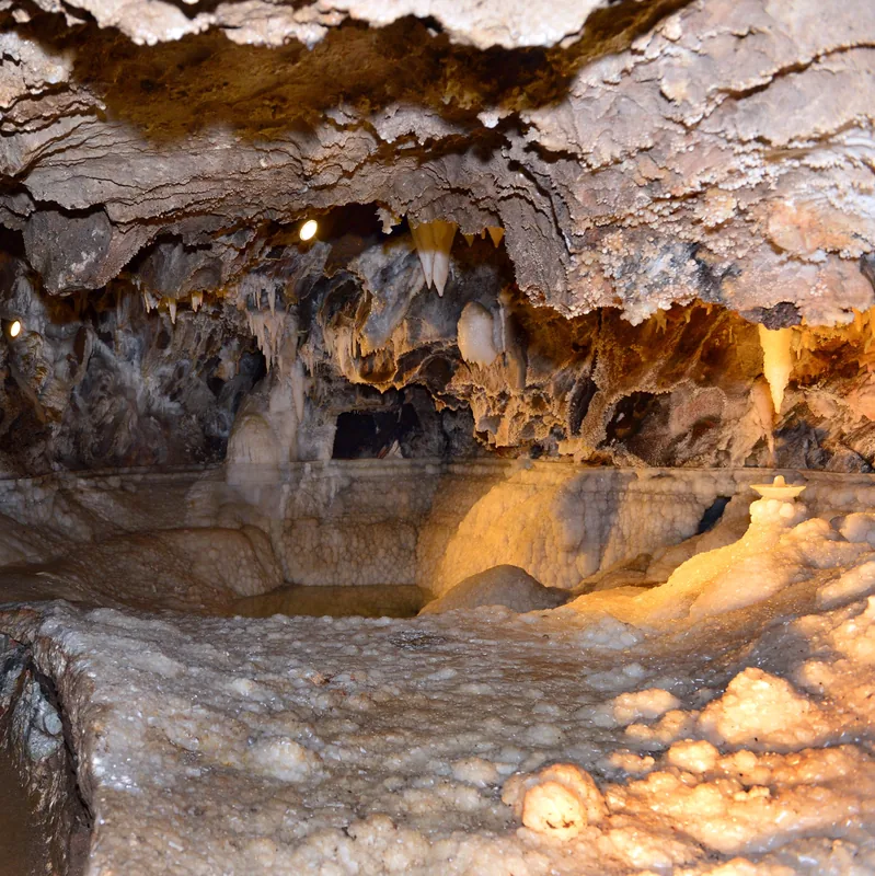
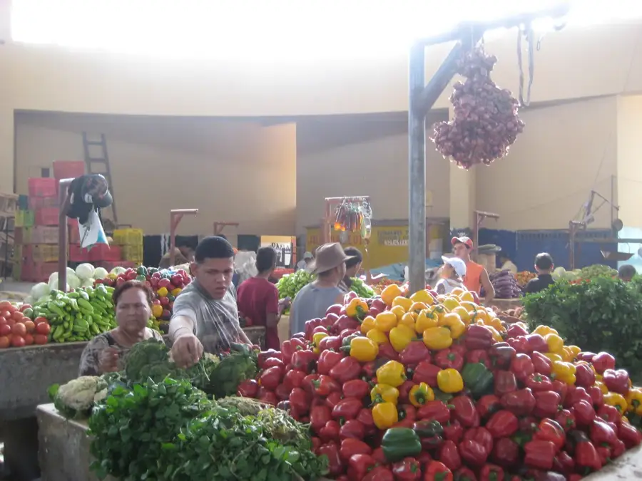
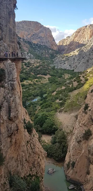
Nature
More places