Plizio Visual Lab
Paria Coast Cliffs
Weather…
Water temperature…
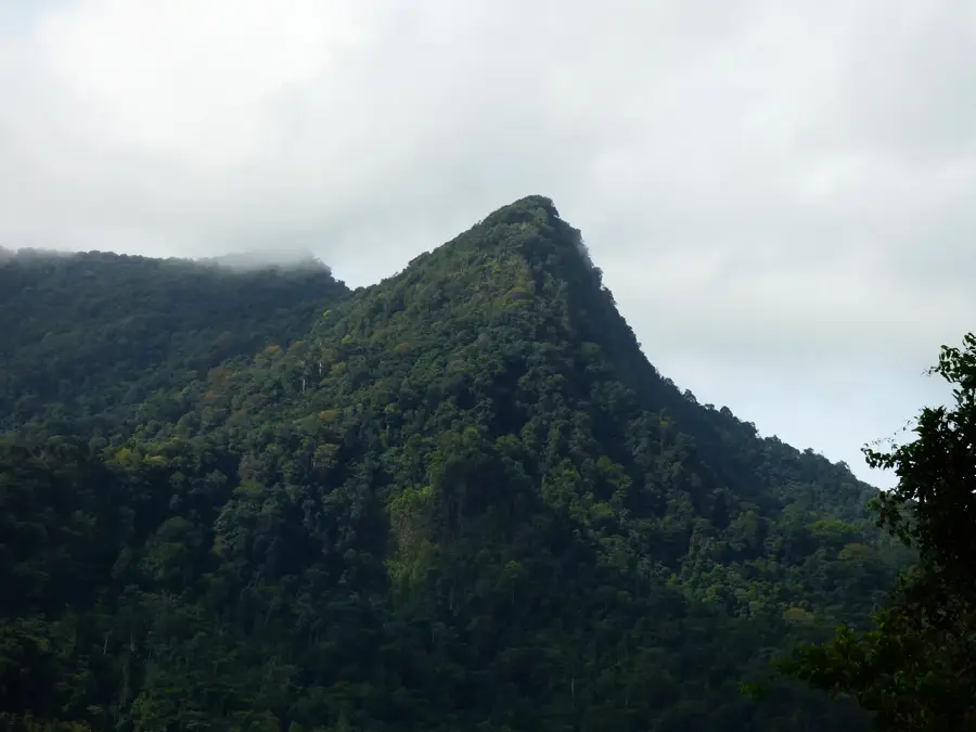
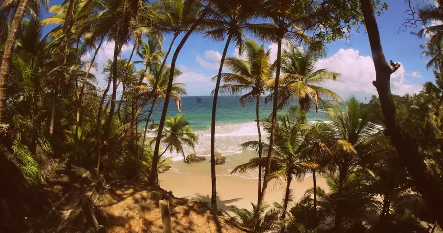
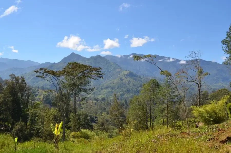
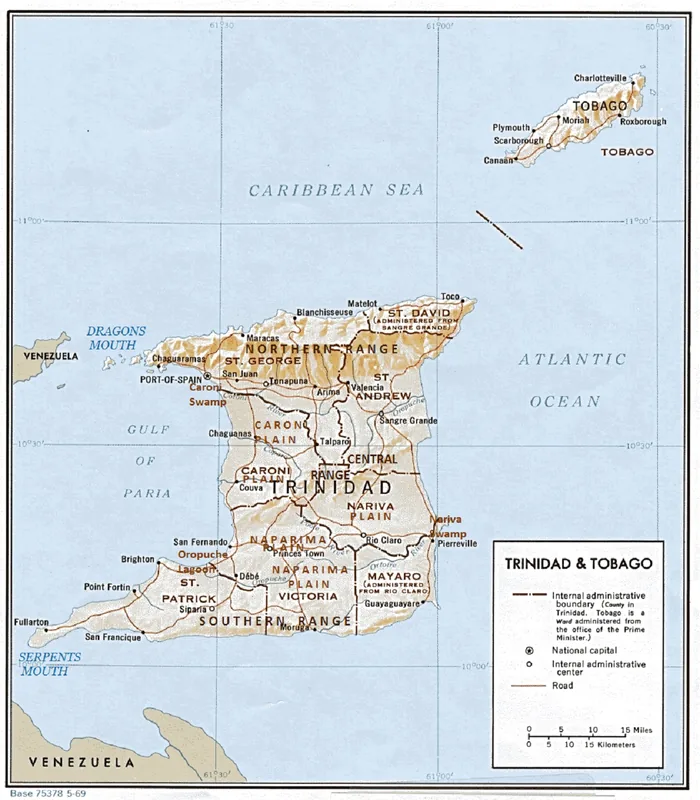
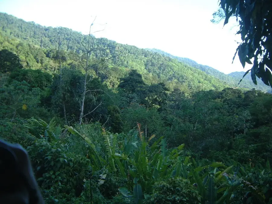
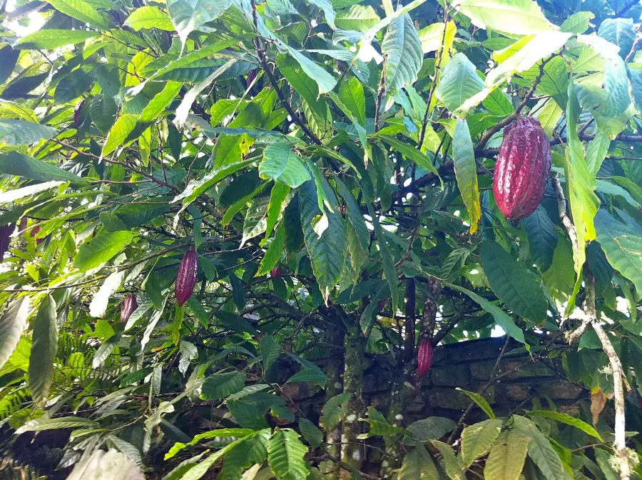
The Paria Coast Cliffs extend along the rugged northern shoreline of Trinidad, forming one of the most dramatic landscapes in the Caribbean archipelago. Geomorphologically, these cliffs are an extension of the Northern Range and are primarily composed of metamorphic rocks such as mica-schist and phyllite, shaped by tectonic uplift millions of years ago. The precipitous terrain often drops hundreds of meters directly into the Caribbean Sea, interrupted only by isolated coves and pristine beaches like Paria Beach. Historically, the region's extreme topography rendered it largely inaccessible for large-scale plantation agriculture, which facilitated the preservation of the island's primary rainforest. Modern access is typically limited to strenuous hiking trails or small sea vessels departing from the village of Blanchisseuse. Today, the cliffs stand as a symbol of Trinidad's untouched wilderness, providing crucial habitats for numerous endemic plant species and seabirds. The erosive power of the surf continuously carves out new geological features, including sea caves and natural bridges like the famous Paria Arch. The region is of high ecological significance for watershed protection and serves as a premier location for specialized eco-tourism.
- Location: Trinidad and Tobago
- Nearby: Belmont (4 km)
Best time to visit & climate
The most pleasant time to visit is Feb–Apr.
| Jan | Feb | Mar | Apr | May | Jun | Jul | Aug | Sep | Oct | Nov | Dec | |
|---|---|---|---|---|---|---|---|---|---|---|---|---|
| Avg °C | 27 | 26 | 27 | 27 | 28 | 28 | 28 | 28 | 28 | 28 | 28 | 27 |
| Rain mm | 83 | 49 | 39 | 44 | 86 | 157 | 166 | 168 | 132 | 169 | 193 | 145 |
📋 Practical info
Geography
Facts
- The cliffs reach heights exceeding 300 meters in several locations.
- The Paria Arch is a spectacular natural bridge formed by sea erosion.
- The rocks belong geologically to the Caribbean Metamorphic Group.
- There are no paved roads providing direct access to the cliff edge.
- The region is a sanctuary for the critically endangered Trinidad Piping-Guan.
- Annual rainfall in this coastal stretch often exceeds 2,500 mm.
Explore nearby
Notable places around
Route planner — Car & Motorhome
Where do you start? We build the route here, with stops and country notes along the way.
© OpenStreetMap contributors · OpenRouteService
Sights in the town Paria Coast Cliffs (1)
Sights nearby
Frequently asked questions
How are the cliffs accessible?
Is photography allowed?
Is there protection from the sun?
When should one visit the cliffs?
Is it safe?
Paria Coast Cliffs: where is it located?
Paria Coast Cliffs: when is the best time to visit?
Paria Coast Cliffs: why is it worth visiting?
More places