Plizio Visual Lab
Cumaca Caves

Weather…
Water temperature…
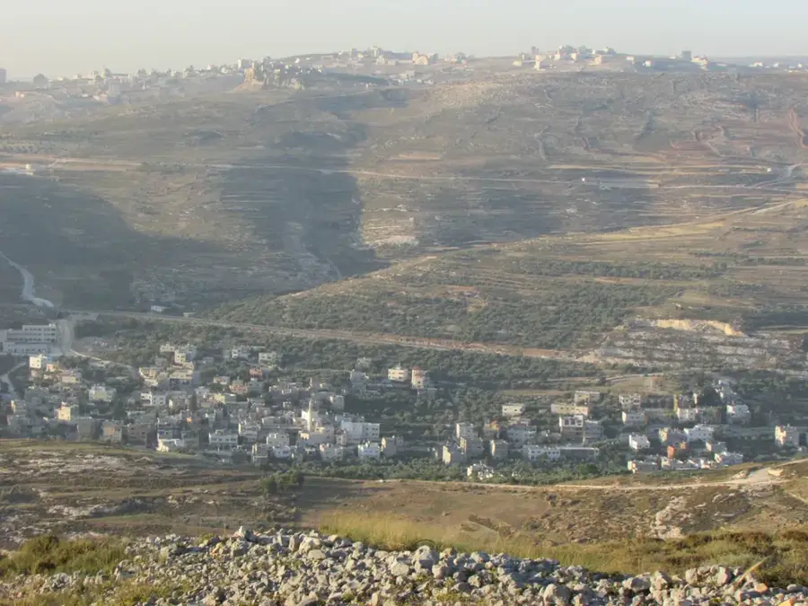
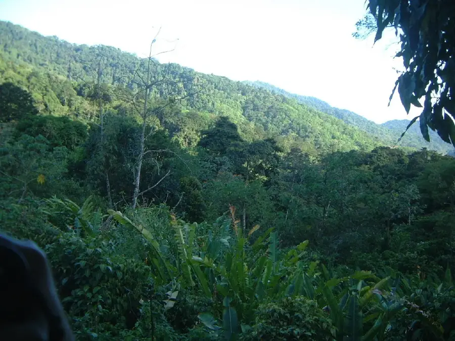
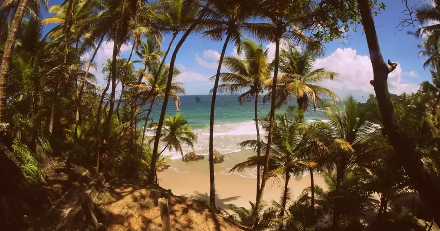
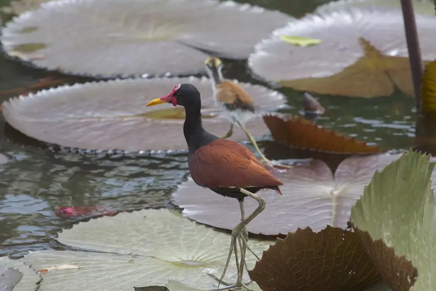
The Cumaca Caves, positioned in the southern foothills of the Northern Range near the village of Cumaca, are among Trinidad's most remarkable subterranean formations. Geologically, they represent a karst system created by the chemical weathering of limestone by percolating rainwater and underground streams over vast periods. The caves are world-renowned for hosting a significant colony of Oilbirds (Guacharos), a rare, nocturnal avian species that employs echolocation to navigate in total darkness and feeds primarily on oily palm fruits. Historically, these caves were known to the island's indigenous peoples and were later documented by European naturalists during the 19th century. The surrounding environment is characterized by dense tropical rainforest and cascading streams, turning any visit into a challenging expedition. Inside, the caves feature impressive stalactites and stalagmites alongside a complex ecosystem adapted to absolute darkness. Scientifically, the site is vital for studying the evolution of avian echolocation and preserving the Northern Range's unique biodiversity. Protection of this sensitive location is paramount to ensure the breeding Oilbird population remains undisturbed.
- Location: Trinidad and Tobago
- Nearby: Valencia (5 km)
Best time to visit & climate
The most pleasant time to visit is Feb–Apr.
| Jan | Feb | Mar | Apr | May | Jun | Jul | Aug | Sep | Oct | Nov | Dec | |
|---|---|---|---|---|---|---|---|---|---|---|---|---|
| Avg °C | 26 | 26 | 27 | 28 | 28 | 27 | 27 | 27 | 27 | 27 | 27 | 26 |
| Rain mm | 100 | 61 | 52 | 56 | 117 | 222 | 202 | 202 | 141 | 176 | 213 | 178 |
📋 Practical info
Geography
Facts
- The caves house one of the largest Oilbird (Guacharo) colonies on the island.
- Oilbirds are unique as the only nocturnal birds that use echolocation.
- The geology consists of Jurassic limestone from the Northern Range.
- An underground river flows through the primary cave chamber.
- The scenic Cumaca Waterfalls are located in the vicinity of the caves.
- The site was documented as early as 1895 by naturalist J.H. Hart.
Explore nearby
Notable places around
Route planner — Car & Motorhome
Where do you start? We build the route here, with stops and country notes along the way.
© OpenStreetMap contributors · OpenRouteService
Sights in the town Cumaca Caves (1)
Sights nearby
Frequently asked questions
Can Cumaca Caves be visited?
Is a flashlight needed?
Is the visit suitable for children?
How long does a tour take?
What is the best clothing?
Cumaca Caves: where is it located?
Cumaca Caves: when is the best time to visit?
Cumaca Caves: why is it worth visiting?
More places