Plizio Visual Lab
Valencia Plateau
Weather…
Water temperature…
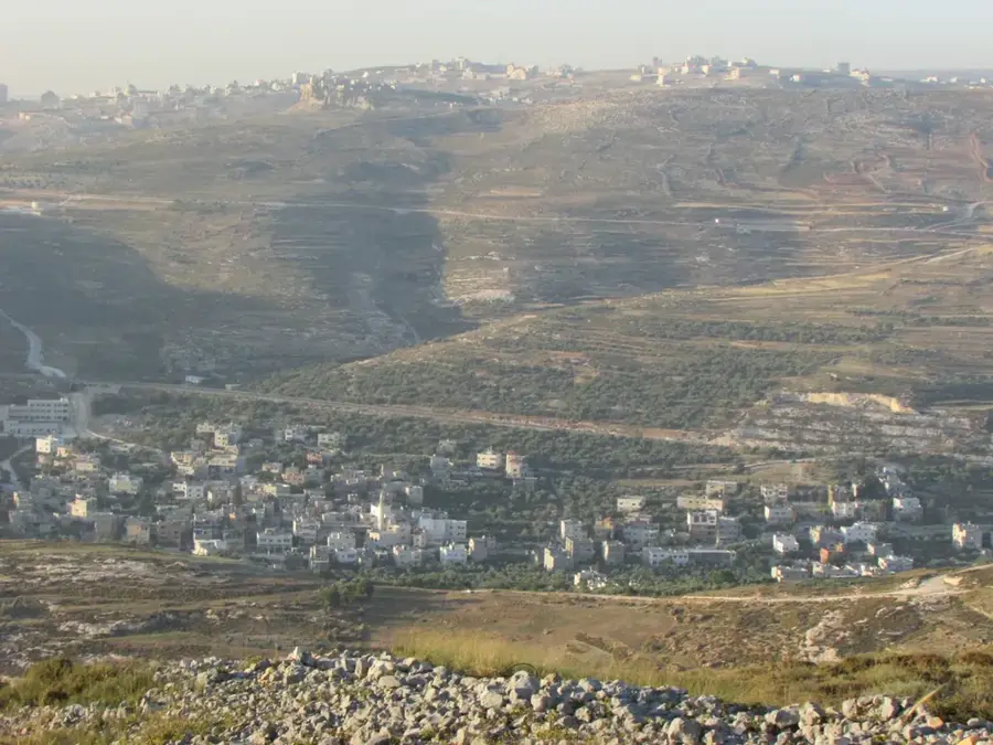
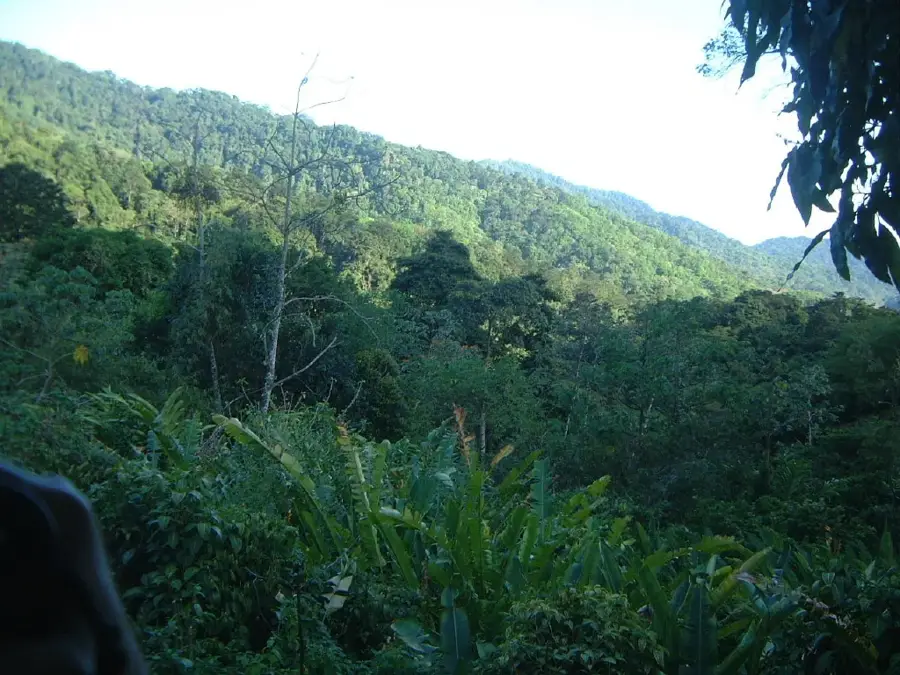
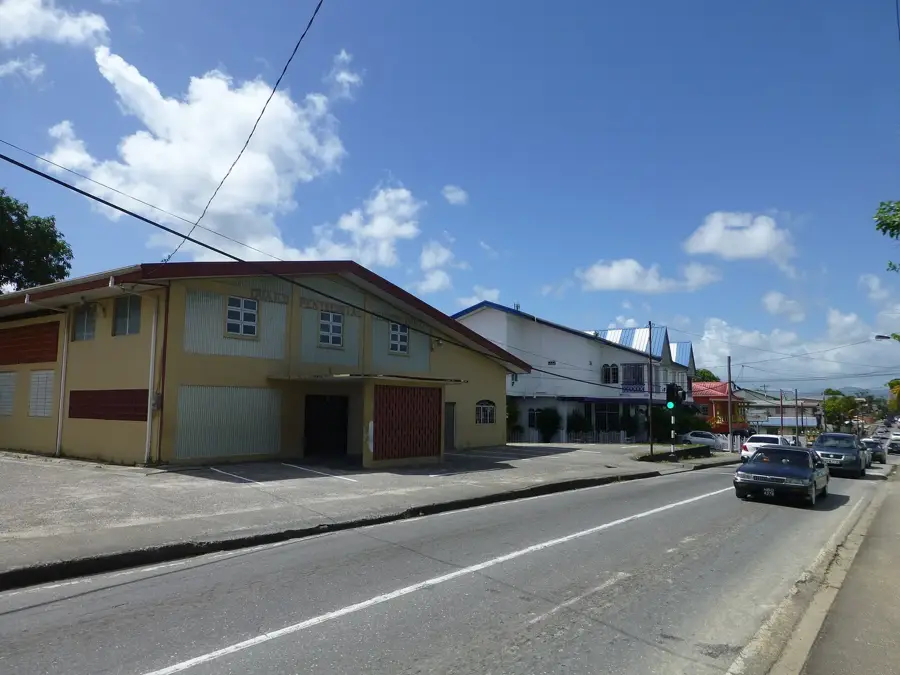
The Valencia Plateau is located at the southern fringe of Trinidad's Northern Range, serving as a transitional zone between the rugged mountains and the Caroni Plain. This region is geologically characterized by quaternary alluvial deposits and extensive gravel layers that were washed down from the highlands during successive glacial periods. The plateau functions as a vital water catchment area, with numerous streams such as the Aripo and Valencia Rivers traversing the landscape. Historically, Valencia was a strategic transit point for trade between Port of Spain and the eastern coast of the island. Due to its gravelly subsurface, the plateau has become a major center for aggregate and sand quarrying, which currently poses ecological challenges for the local groundwater reserves. The remaining natural vegetation consists of lowland rainforest fragments, though these are increasingly impacted by human development and quarrying activities.
- Location: Trinidad and Tobago
- Top sights: Valencia, Trinidad and Tobago · Heights of Aripo Village
- Nearby: Cumaca (5 km)
Best time to visit & climate
The most pleasant time to visit is Feb–Apr.
| Jan | Feb | Mar | Apr | May | Jun | Jul | Aug | Sep | Oct | Nov | Dec | |
|---|---|---|---|---|---|---|---|---|---|---|---|---|
| Avg °C | 26 | 26 | 27 | 28 | 28 | 27 | 27 | 27 | 27 | 27 | 27 | 26 |
| Rain mm | 100 | 61 | 52 | 56 | 117 | 222 | 202 | 202 | 141 | 176 | 213 | 178 |
📋 Practical info
Geography
Facts
- Transition zone between Northern Range and plains
- Geology consists of Quaternary alluvial gravels
- Primary center for sand and aggregate quarrying
- Home to the Aripo and Valencia River basins
- Critical groundwater recharge area for the region
- Historical transit hub for east-west island trade
Explore nearby
Notable places around
Route planner — Car & Motorhome
Where do you start? We build the route here, with stops and country notes along the way.
© OpenStreetMap contributors · OpenRouteService
Sights in the town Valencia Plateau (2)
Sights nearby
Frequently asked questions
Is the Valencia Plateau suitable for families with kids?
Do I need to book a guided tour?
Is there parking nearby?
What should I wear?
How long does a typical visit take?
Valencia Plateau: where is it located?
Valencia Plateau: what is there to see?
Valencia Plateau: when is the best time to visit?
Valencia Plateau: why is it worth visiting?
More places