Plizio Visual Lab
Blanchisseuse Slopes
Weather…
Water temperature…
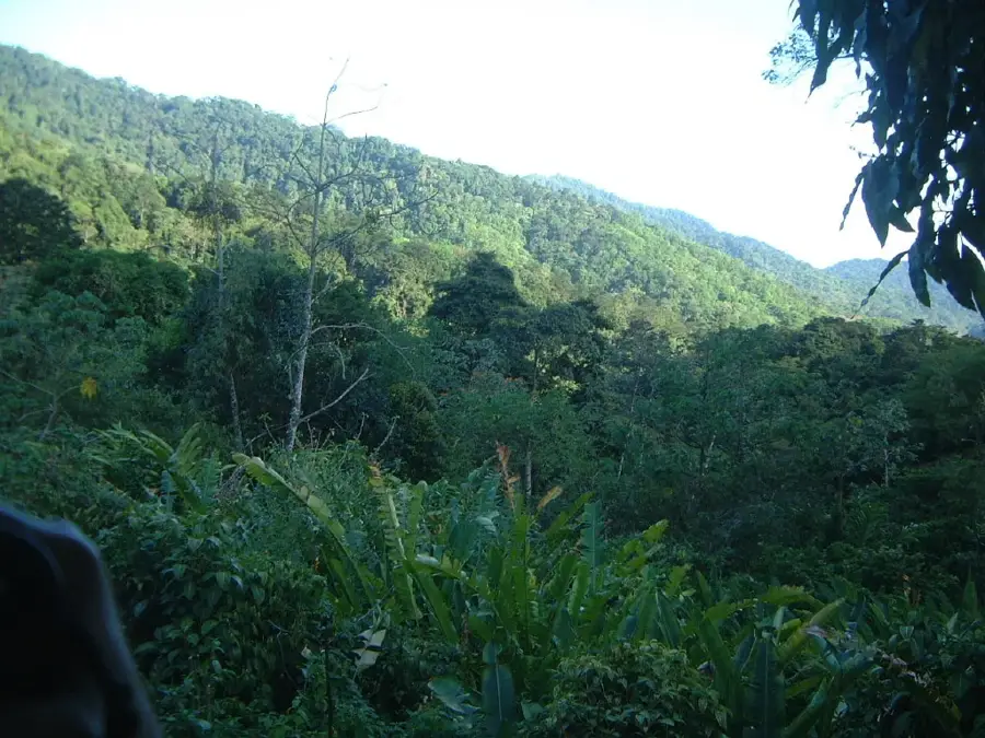
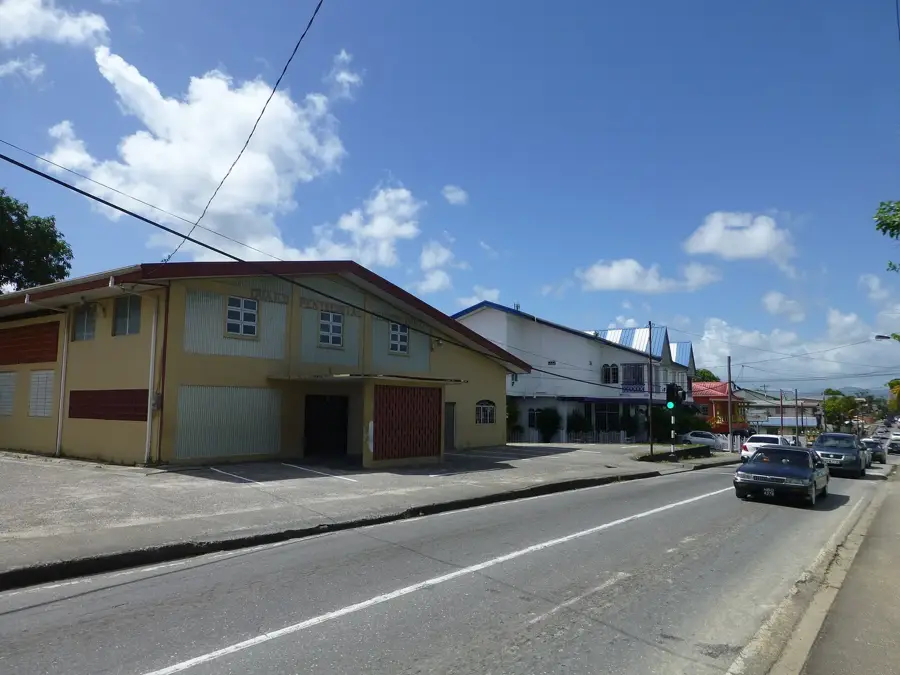
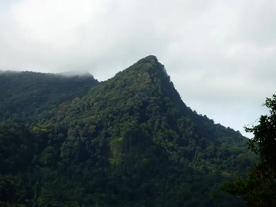
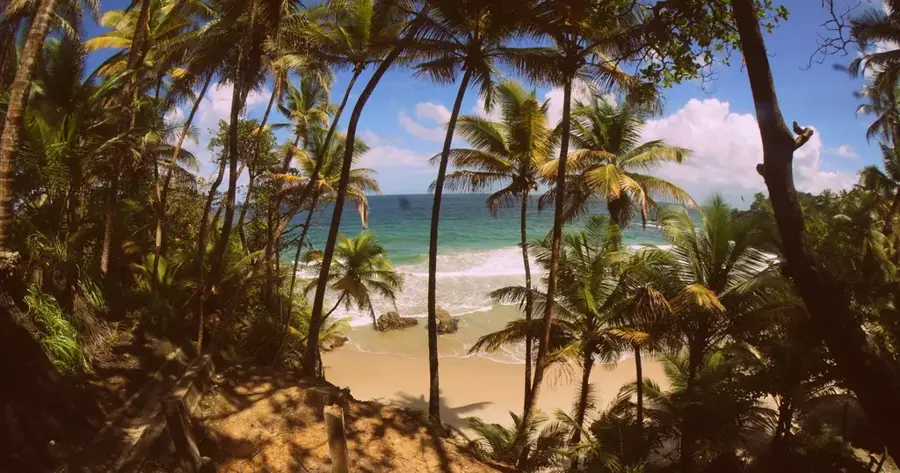
The Blanchisseuse Slopes represent the northern descent of the Northern Range toward the Caribbean Sea, distinguished by their precipitous gradients and dense forest cover. Geographically, they encompass the area surrounding the titular village, with mountains rising sharply from the ocean to elevations exceeding 600 meters. Geologically, the slopes are composed of metamorphic rocks, such as quartz-mica schist, which have weathered under tropical conditions to form deep, fertile soils. Historically, the name Blanchisseuse (French for washerwoman) was coined by French settlers in the late 18th century who observed local women washing clothes in the Marianne River. The region remained largely isolated until the 1970s, when the completion of the North Coast Road improved access while helping to maintain its character as a remote sanctuary. Today, the slopes are central to Trinidad's eco-tourism industry, famous for hiking trails to Paria Beach and seasonal leatherback turtle nesting sites. The vegetation spans from coastal woodlands to high-elevation cloud forests, supporting vast vertical biodiversity. The slopes also serve as vital watersheds for the Marianne and Arima river systems.
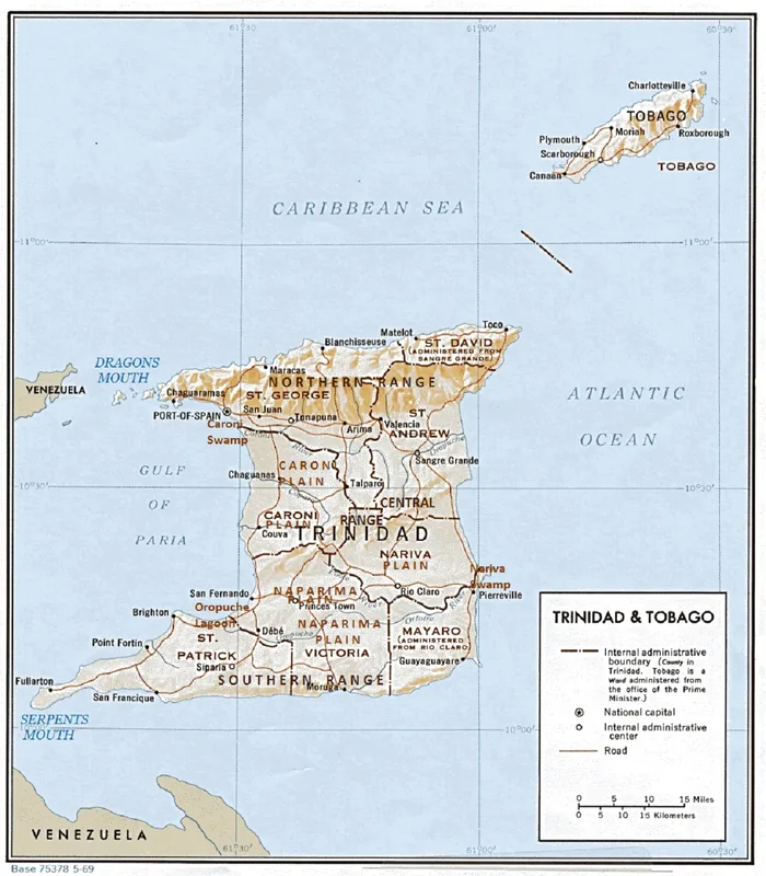
- Location: Trinidad and Tobago
- Nearby: D'Abadie (7 km)
Best time to visit & climate
The most pleasant time to visit is Feb–Apr.
| Jan | Feb | Mar | Apr | May | Jun | Jul | Aug | Sep | Oct | Nov | Dec | |
|---|---|---|---|---|---|---|---|---|---|---|---|---|
| Avg °C | 27 | 26 | 27 | 27 | 28 | 28 | 28 | 28 | 28 | 28 | 28 | 27 |
| Rain mm | 83 | 49 | 39 | 44 | 86 | 157 | 166 | 168 | 132 | 169 | 193 | 145 |
📋 Practical info
Geography
Facts
- The slopes rise from sea level to over 600 meters within a short distance.
- Blanchisseuse was officially recognized by the Spanish in 1783.
- The Marianne River forms a scenic lagoon at the foot of the slopes.
- Geologically, the slopes consist of some of the Northern Range's oldest rock.
- Work on the North Coast Road began during World War II.
- Rare tree ferns and epiphytes thrive in the higher elevations of the slopes.
Explore nearby
Notable places around
Route planner — Car & Motorhome
Where do you start? We build the route here, with stops and country notes along the way.
© OpenStreetMap contributors · OpenRouteService
Sights in the town Blanchisseuse Slopes (1)
Sights nearby
Frequently asked questions
What does Blanchisseuse Slopes offer?
Is the area well-signposted?
When is it most beautiful there?
Are there wildlife there?
Is the path to the beach long?
Blanchisseuse Slopes: where is it located?
Blanchisseuse Slopes: when is the best time to visit?
Blanchisseuse Slopes: why is it worth visiting?
More places