Plizio Visual Lab
El Tucuche
Weather…
Water temperature…
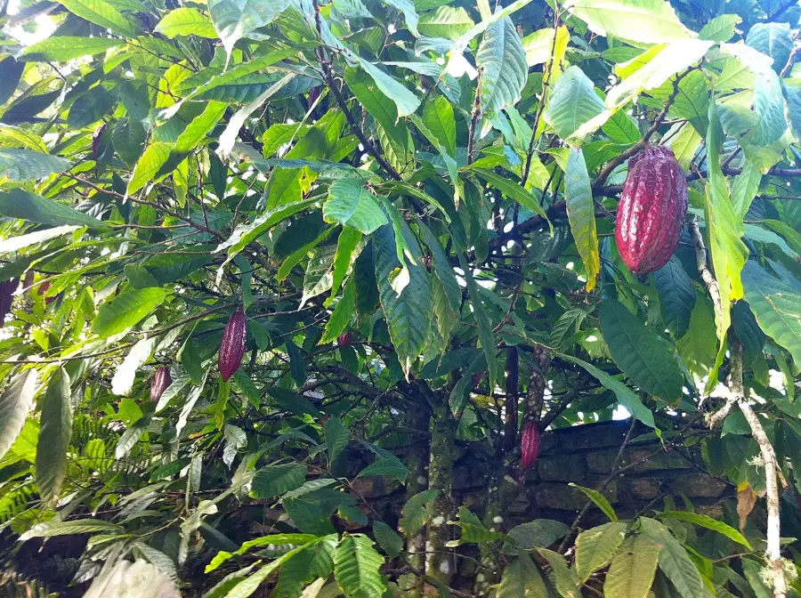
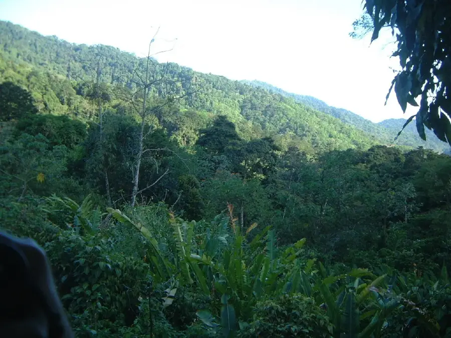
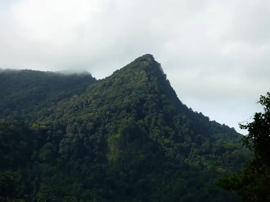
El Tucuche is the second-highest peak in Trinidad, standing at an elevation of 936 meters within the western portion of the Northern Range. It is easily recognizable by its distinct, pyramid-like silhouette, which dominates the skyline of north-central Trinidad. The mountain is of immense ecological importance, serving as one of the very few habitats for the endemic Golden Tree Frog (Phyllodytes auratus), which lives exclusively in the giant tank bromeliads found at this altitude. Historically, El Tucuche was held sacred by the indigenous Amerindian tribes, who believed it to be a spiritual gateway. During the colonial era, it became a focal point for geographical surveys of the island. The hiking trails leading to the summit, starting from areas like Lopinot or Maracas, are among the most celebrated in the Caribbean, transitioning from secondary forest and cocoa estates to pristine cloud forest. The summit features spectacular views of the Caribbean Sea to the north and the plains to the south.
Explore on the map
How well do you know Trinidad and Tobago?
Find cities, landscapes and regions in 10 varied challenges on the interactive map.
Your journey, your memory
A postcard from El Tucuche
Turn your own photo into a personal postcard with a local stamp. Free and no sign-up required.
Create a postcard- Location: Trinidad and Tobago
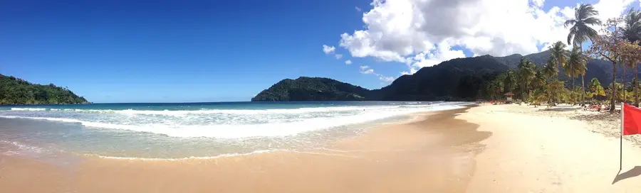
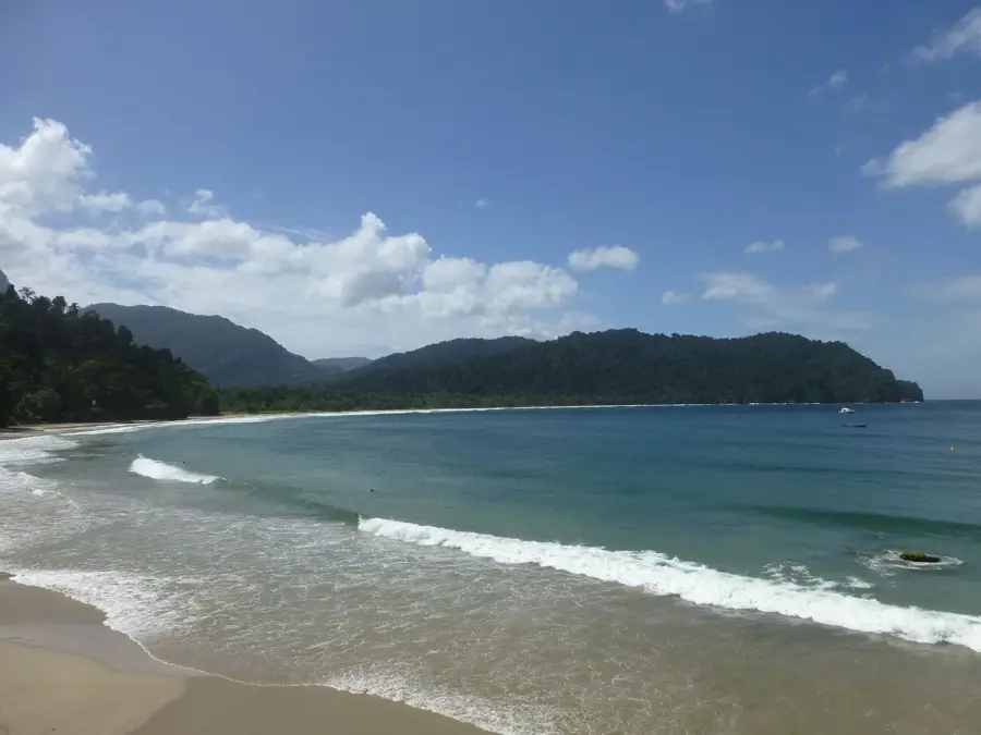
- Nearby: Las Cuevas Bay (6 km)
Best time to visit & climate
The most pleasant time to visit is Feb–Apr.
| Jan | Feb | Mar | Apr | May | Jun | Jul | Aug | Sep | Oct | Nov | Dec | |
|---|---|---|---|---|---|---|---|---|---|---|---|---|
| Avg °C | 26 | 26 | 27 | 28 | 28 | 27 | 27 | 27 | 27 | 27 | 27 | 26 |
| Rain mm | 100 | 61 | 52 | 56 | 117 | 222 | 202 | 202 | 141 | 176 | 213 | 178 |
📋 Practical info
Geography
Facts
- El Tucuche stands at 936 meters (3,071 feet) above sea level.
- It hosts the giant bromeliad Glomeropitcairnia erectiflora on its summit.
- The mountain is a vital part of the Northern Range Wildlife Reserve.
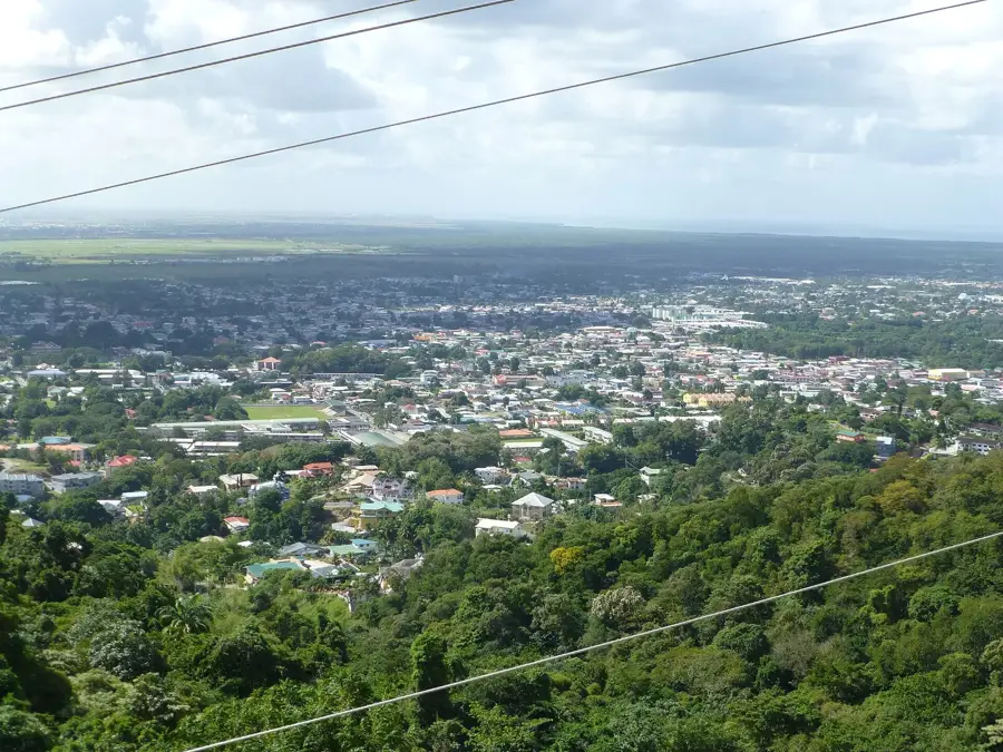
- On clear days, the capital city of Port of Spain is visible from the slopes.
- The area receives some of the highest rainfall amounts on the island.
- The mountain's microclimate supports rare species of orchids and mosses.
Explore nearby
Notable places around

Route planner — Car & Motorhome
Where do you start? We build the route here, with stops and country notes along the way.
© OpenStreetMap contributors · OpenRouteService
Sights nearby
Frequently asked questions
How difficult is the hike to El Tucuche?
What is the best time of day to start?
Is wild camping allowed?
Are there dangerous animals on the trail?
Is the summit very popular with tourists?
El Tucuche: where is it located?
El Tucuche: when is the best time to visit?
El Tucuche: why is it worth visiting?
More places