Plizio Visual Lab
Northern Range
Weather…
Water temperature…
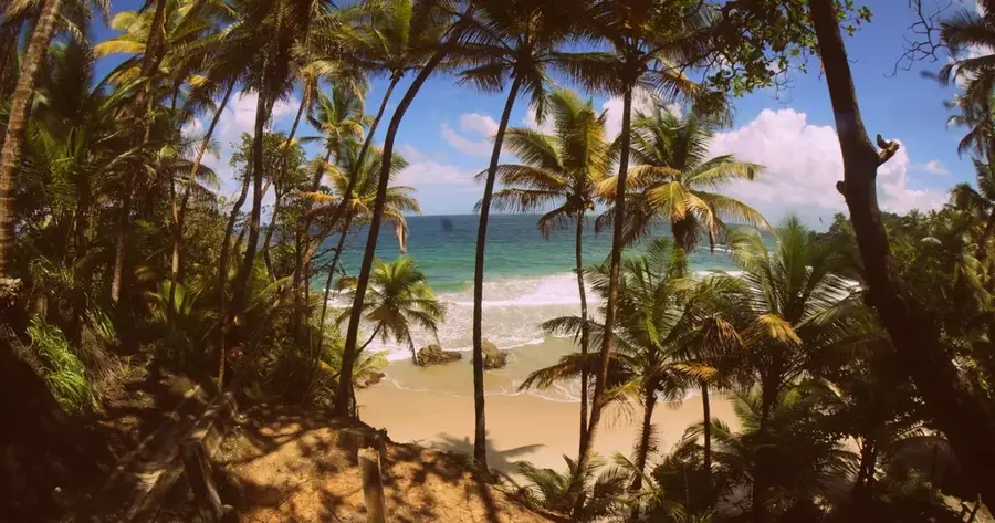
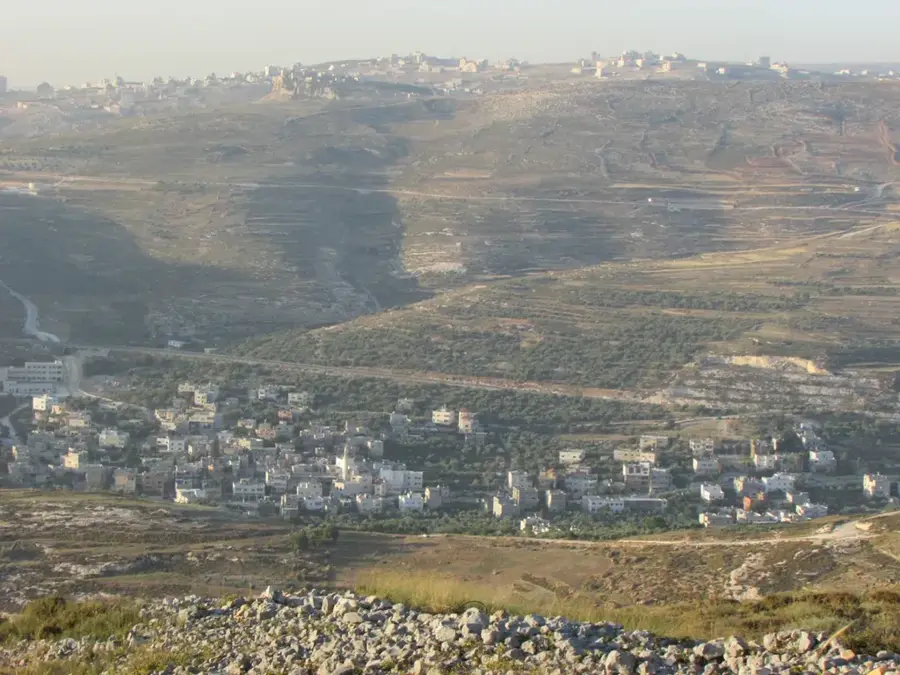
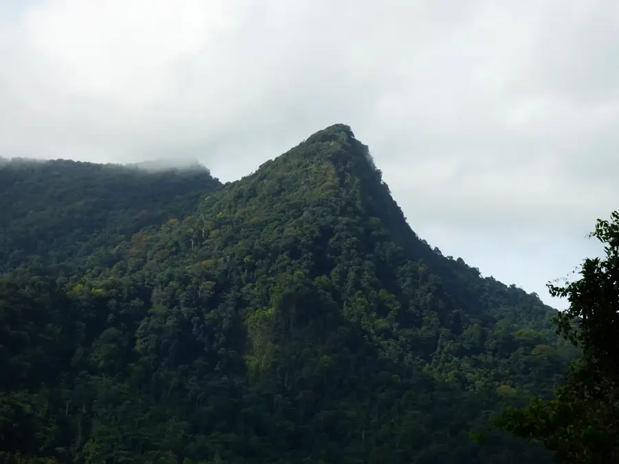
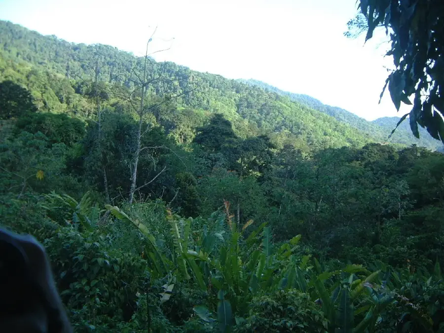
The Northern Range is the most prominent topographical feature of Trinidad, stretching roughly 80 kilometers from the Chaguaramas Peninsula in the west to Toco in the east. Geologically, it is a continuation of the Venezuelan Coastal Range, composed primarily of metamorphic rocks such as schists and quartzites dating back to the Jurassic and Cretaceous periods. The range rises steeply from the northern plains, culminating in El Cerro del Aripo at 940 meters. Throughout history, its dense, rugged terrain provided sanctuary for indigenous groups and later for maroons escaping plantation life. Today, the Northern Range functions as the nation's primary watershed and contains the majority of Trinidad's remaining tropical rainforests. Its slopes are characterized by a mosaic of montane forests, cocoa estates, and high-altitude cloud forests, supporting an extraordinary array of biodiversity including hundreds of orchid species. Despite threats from quarrying and urban sprawl, it remains a critical environmental asset for the Republic.
- Location: Trinidad and Tobago
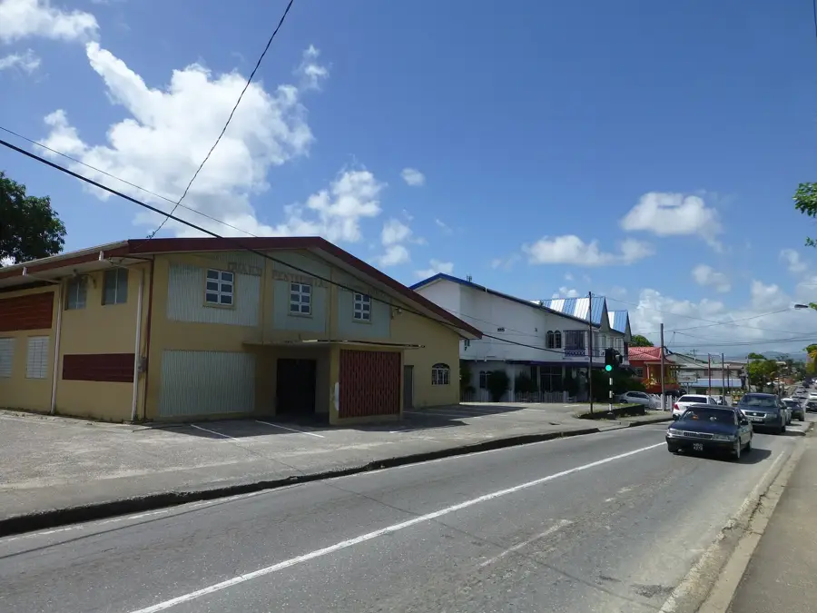
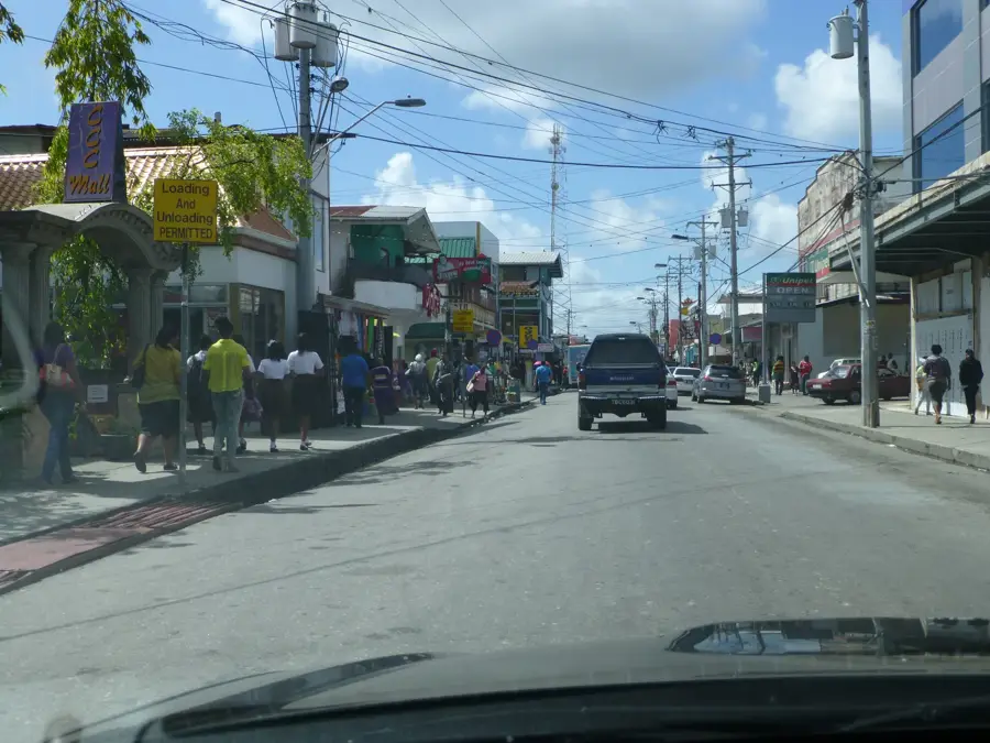
- Nearby: Arima (7 km)
Best time to visit & climate
The most pleasant time to visit is Feb–Apr.
| Jan | Feb | Mar | Apr | May | Jun | Jul | Aug | Sep | Oct | Nov | Dec | |
|---|---|---|---|---|---|---|---|---|---|---|---|---|
| Avg °C | 27 | 26 | 27 | 27 | 28 | 28 | 28 | 28 | 28 | 28 | 28 | 27 |
| Rain mm | 83 | 49 | 39 | 44 | 86 | 157 | 166 | 168 | 132 | 169 | 193 | 145 |
📋 Practical info
Geography
Facts
- The range extends for approximately 80 kilometers across North Trinidad.
- It features the two highest peaks in the country: Aripo and Tucuche.
- The mountains are geologically linked to the coastal ranges of Venezuela.
- The Northern Range contains some of the world's most accessible rainforests.
- It provides nearly 70% of the freshwater supply for the island of Trinidad.
- The terrain consists mainly of rugged ridges and deep, fertile valleys.
Explore nearby
Notable places around
Route planner — Car & Motorhome
Where do you start? We build the route here, with stops and country notes along the way.
© OpenStreetMap contributors · OpenRouteService
Sights nearby
Frequently asked questions
How long does it take to cross the Northern Range?
What gear is necessary for the mountains?
Is the Northern Range suitable for beginners?
When is the weather most stable?
Is there accommodation there?
Northern Range: where is it located?
Northern Range: when is the best time to visit?
Northern Range: why is it worth visiting?
More places