Plizio Visual Lab
Manzanilla Beach Ridges
Weather…
Water temperature…
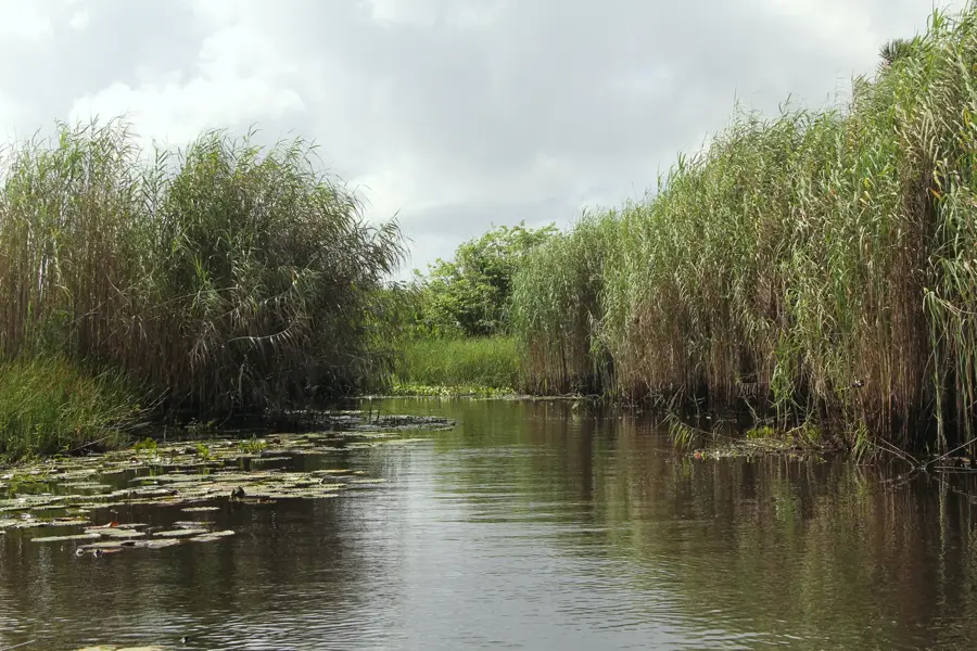
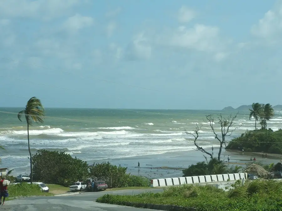
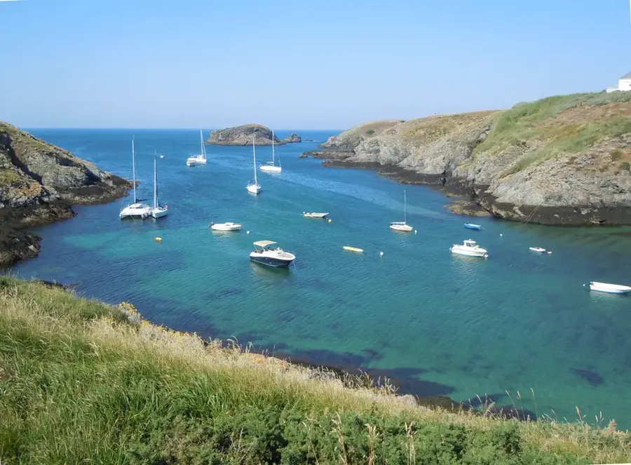
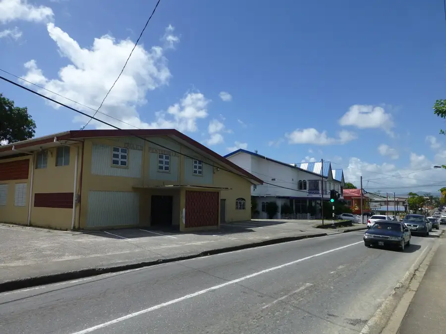
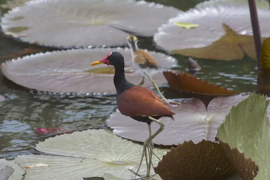
The Manzanilla Beach Ridges extend along the eastern coastline of Trinidad, forming a prominent geomorphological barrier between the Atlantic Ocean and the Nariva Swamp. These sandy ridges, frequently referred to locally as the 'Cocal', were created by the deposition of coastal sediments over several millennia. The region is famous for its miles of coconut groves, which were originally established in the 19th century for commercial copra production. Geologically, the ridges consist of quaternary sand deposits that form a narrow land bridge, effectively shielding the inland wetlands from saltwater intrusion. The Manzanilla coastline stretches for approximately 27 kilometers and is subject to powerful Atlantic currents that continuously reshape the beach profile. Ecologically, the area is of immense importance as it serves as a critical buffer zone for the Nariva Swamp, a protected wetland under the Ramsar Convention.
- Location: Trinidad and Tobago
- Nearby: Mayaro (13 km)
Best time to visit & climate
The most pleasant time to visit is Feb–Apr.
| Jan | Feb | Mar | Apr | May | Jun | Jul | Aug | Sep | Oct | Nov | Dec | |
|---|---|---|---|---|---|---|---|---|---|---|---|---|
| Avg °C | 26 | 26 | 27 | 28 | 28 | 27 | 27 | 27 | 27 | 27 | 27 | 26 |
| Rain mm | 100 | 61 | 52 | 56 | 117 | 222 | 202 | 202 | 141 | 176 | 213 | 178 |
📋 Practical info
Geography
Facts
- Approximately 27 kilometers of Atlantic coastline
- Forms a natural levee for the Nariva Swamp
- Home to the famous 'Cocal' coconut groves
- Composed of Quaternary-period sand deposits
- Buffer zone for a Ramsar-protected wetland site
- Significant nesting site for leatherback turtles
Explore nearby
Notable places around
Route planner — Car & Motorhome
Where do you start? We build the route here, with stops and country notes along the way.
© OpenStreetMap contributors · OpenRouteService
Sights nearby
Frequently asked questions
How difficult is the hike at Manzanilla Beach Ridges?
What is the best time of year to visit?
Are there restrooms available on-site?
Is it good for photography?
What is the weather risk?
Manzanilla Beach Ridges: where is it located?
Manzanilla Beach Ridges: when is the best time to visit?
Manzanilla Beach Ridges: why is it worth visiting?
More places