Plizio Visual Lab
Sangre Grande Hills
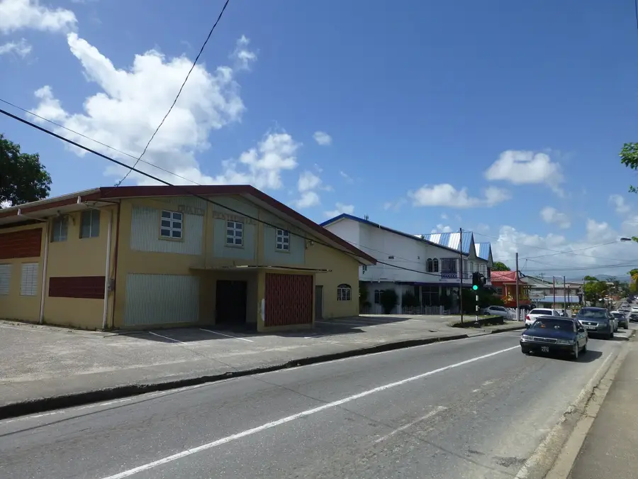
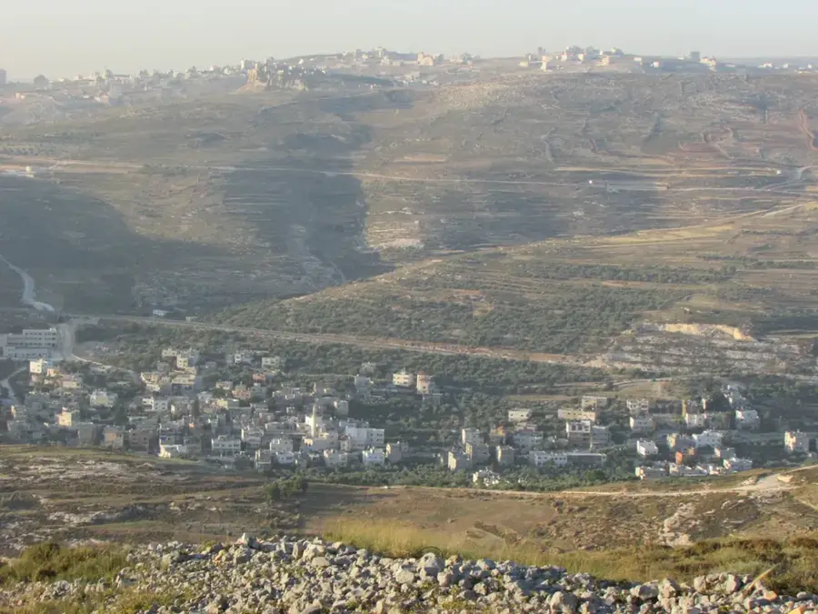
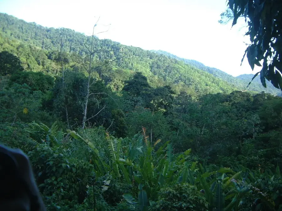
The Sangre Grande Hills are located in eastern Trinidad, representing an undulating landscape composed primarily of tertiary sedimentary formations. These hills form the critical watershed divide between the Oropouche River basin to the north and the Ortoire River basin to the south. During the late 19th century, this region was pivotal in establishing Sangre Grande as the primary economic hub of the east, largely due to extensive cocoa and coffee cultivation. The soils are characterized by a mix of clay and sand, supporting dense tropical vegetation and productive agriculture. With elevations generally remaining below 100 meters, the hills are moderately sized but significantly influence local microclimates and regional drainage patterns. Today, portions of the hills have been developed for residential use and farming, while more remote areas still preserve remnants of the original secondary rainforest structure.
- Location: Trinidad and Tobago
- Top sights: Sangre Grande Regional Complex · Guaico · Sangre Grande
- Nearby: Valencia (8 km)
Best time to visit & climate
The most pleasant time to visit is Feb–Apr.
| Jan | Feb | Mar | Apr | May | Jun | Jul | Aug | Sep | Oct | Nov | Dec | |
|---|---|---|---|---|---|---|---|---|---|---|---|---|
| Avg °C | 26 | 26 | 27 | 28 | 28 | 27 | 27 | 27 | 27 | 27 | 27 | 26 |
| Rain mm | 100 | 61 | 52 | 56 | 117 | 222 | 202 | 202 | 141 | 176 | 213 | 178 |
📋 Practical info
Geography
Facts
- Watershed divide for Oropouche and Ortoire Rivers
- Geology comprises Tertiary-aged sedimentary rocks
- Historical site for large-scale cocoa and coffee estates
- Elevations are typically less than 100 meters
- Shapes the drainage patterns of eastern Trinidad
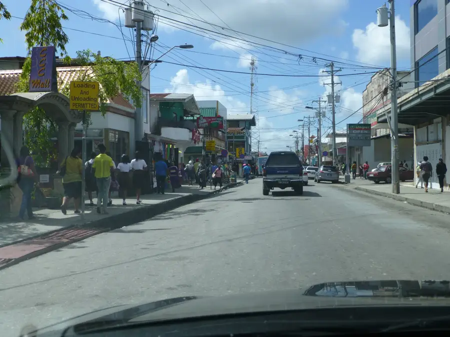
- Economic backbone for the Sangre Grande district
Explore nearby
Notable places around
Route planner — Car & Motorhome
Where do you start? We build the route here, with stops and country notes along the way.
© OpenStreetMap contributors · OpenRouteService
Sights in the town Sangre Grande Hills (3)
Sights nearby
Frequently asked questions
Are Sangre Grande Hills safe for solo hikers?
When is the best light for photos?
Is there food available on the trail?
How is the trail signage?
What difficulty should I expect?
Sangre Grande Hills: where is it located?
Sangre Grande Hills: what is there to see?
Sangre Grande Hills: when is the best time to visit?
Sangre Grande Hills: why is it worth visiting?
More places