Plizio Visual Lab
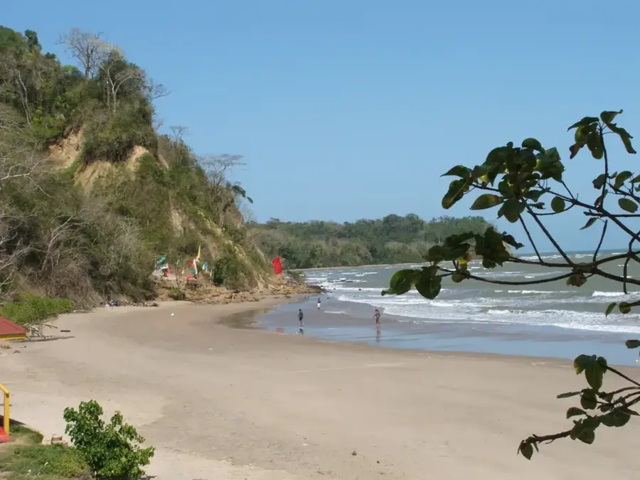
Point Fortin Beach Park
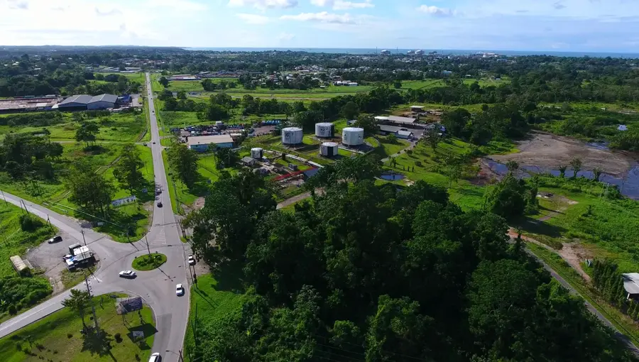
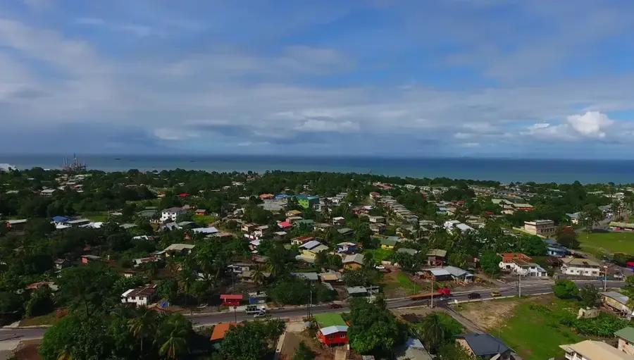
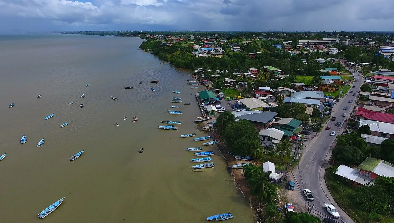
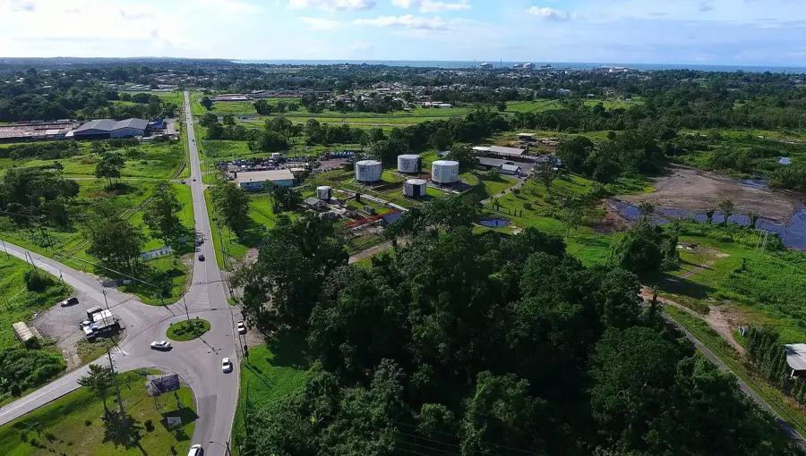
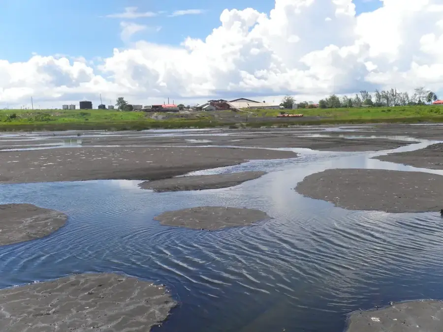
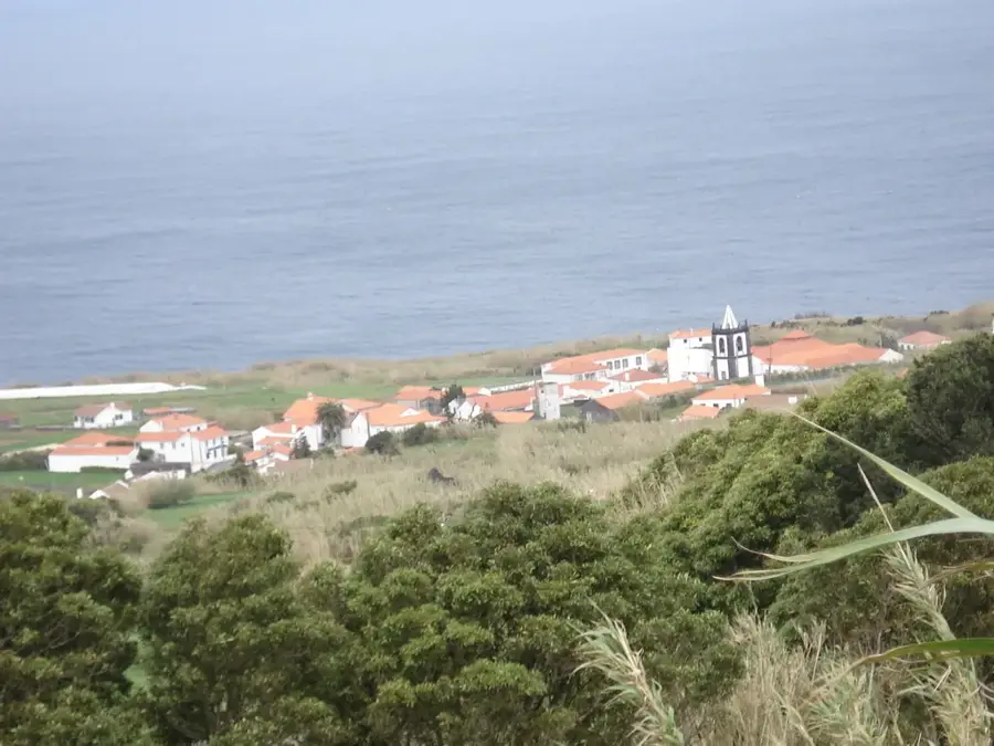
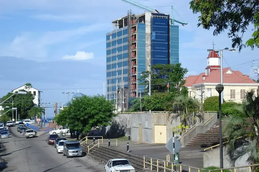
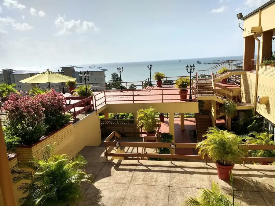
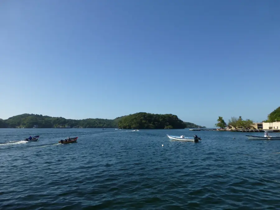
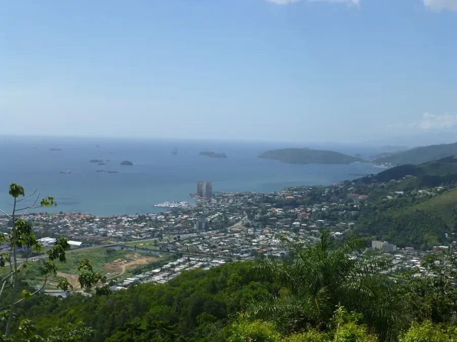
Point Fortin Beach Park, frequently referred to as Clifton Hill Beach, is a premier recreational facility located in southwestern Trinidad. The park has undergone extensive redevelopment to provide the residents of the industrial borough of Point Fortin and visitors with high-quality seaside access. It features landscaped green spaces, modern changing facilities, and food kiosks, making it a favorite spot for family outings and picnics. Historically, the area's growth is tied to the petroleum industry, as Point Fortin was the site of Trinidad's first commercial oil production in the early 20th century. Today, the beach park serves as a central venue for cultural activities, most notably during the annual Borough Day celebrations in May. Despite its proximity to major industrial plants, the park maintains a clean and safe environment for leisure, showcasing the successful co-existence of heavy industry and public recreational spaces.
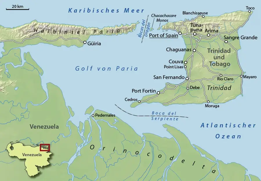
- Location: Trinidad and Tobago
- Top sights: Techier · Atlantic LNG · Point Fortin
- Nearby: Erin (5 km)
Best time to visit & climate
The most pleasant time to visit is Feb–Apr.
| Jan | Feb | Mar | Apr | May | Jun | Jul | Aug | Sep | Oct | Nov | Dec | |
|---|---|---|---|---|---|---|---|---|---|---|---|---|
| Avg °C | 26 | 26 | 27 | 28 | 28 | 27 | 27 | 28 | 28 | 28 | 27 | 27 |
| Rain mm | 97 | 56 | 48 | 55 | 125 | 237 | 220 | 220 | 154 | 186 | 209 | 174 |
📋 Practical info
Geography
Facts
- The park is a focal point for the annual Borough Day celebrations in May.
- Point Fortin was elevated to the status of a Borough in April 1980.
- The beach area is commonly known to locals as Clifton Hill Beach.
- It was among the first major redeveloped beach parks in southern Trinidad.
- The site is adjacent to areas where Trinidad's oil industry began in 1907.
- The facility offers extensive views across the Gulf of Paria.
Explore nearby
Notable places around
Route planner — Car & Motorhome
Where do you start? We build the route here, with stops and country notes along the way.
© OpenStreetMap contributors · OpenRouteService
Sights in the town Point Fortin Beach Park (3)
Sights nearby
Frequently asked questions
Is the beach park good for picnics?
Is the water safe for swimming?
Are there lifeguards there?
Are there restroom facilities?
Is the park very crowded?
Point Fortin Beach Park: where is it located?
Point Fortin Beach Park: what is there to see?
Point Fortin Beach Park: when is the best time to visit?
Point Fortin Beach Park: why is it worth visiting?
Nearby cities


History & landmarks
Nature
More places