Plizio Visual Lab
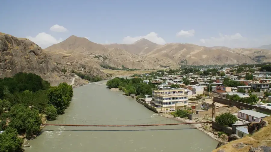
Godineau River

Weather…
Water temperature…
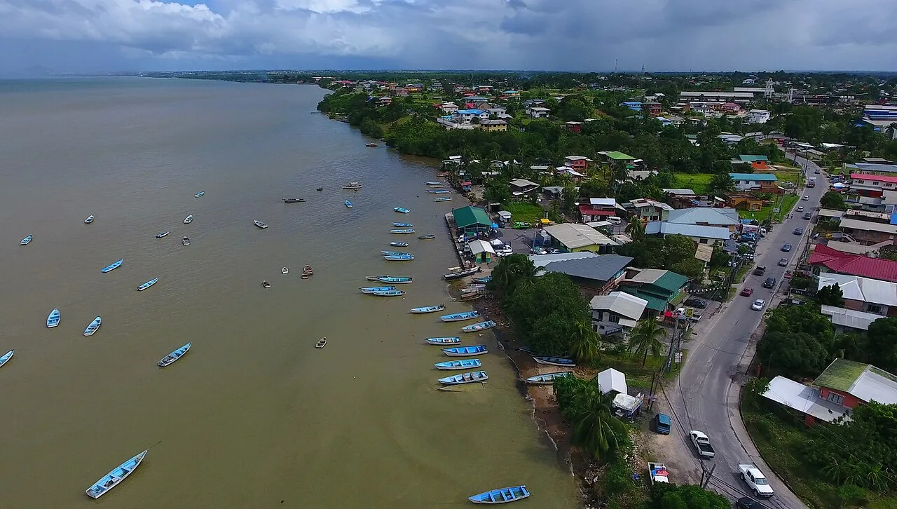
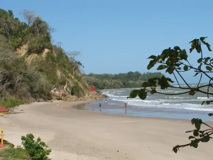
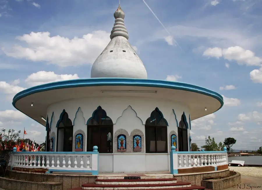
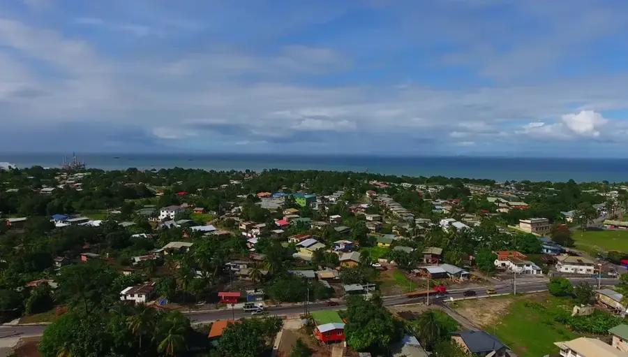
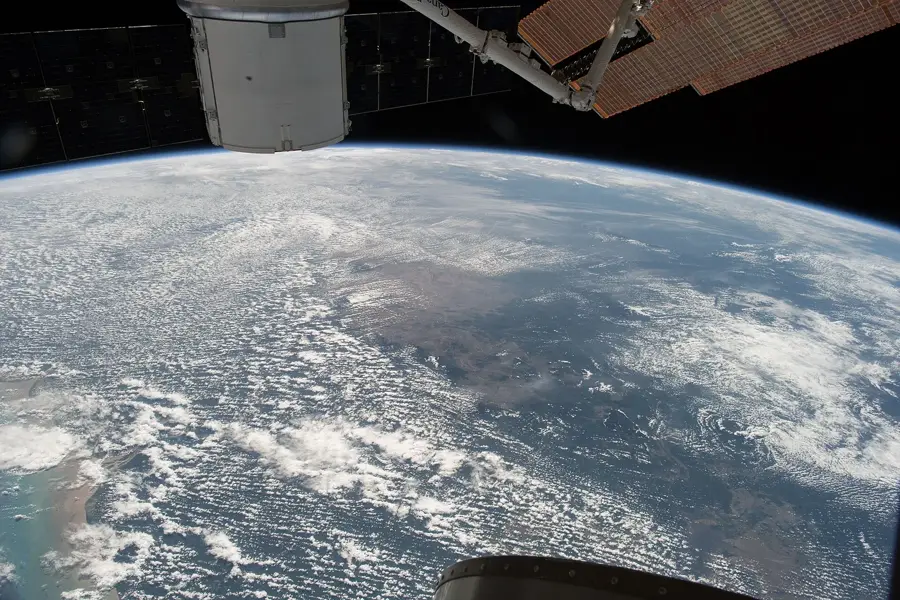
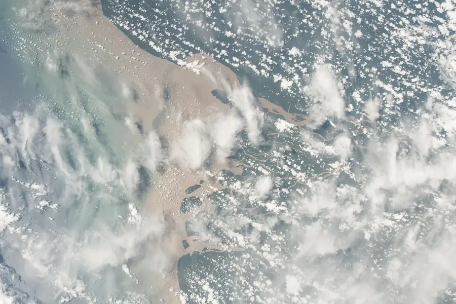
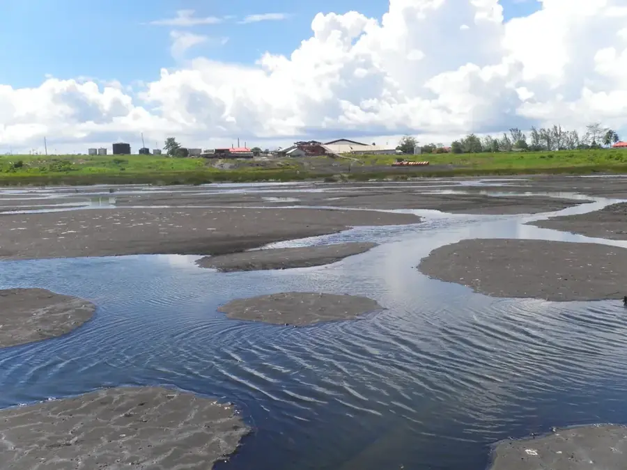
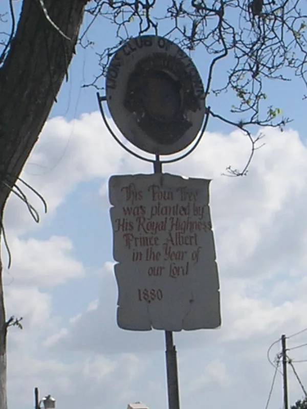
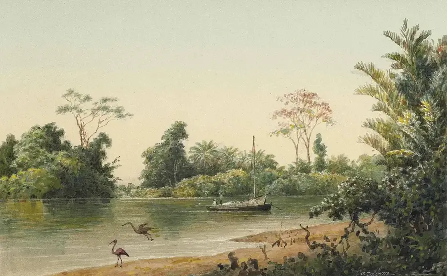
The Godineau River, often referred to as the St. John’s River, flows through southwestern Trinidad and empties into the Gulf of Paria. The river system is the primary artery for the Godineau Swamp, an extensive wetland complex of mangroves and marshes vital for coastal protection and local fisheries. Historically, the river functioned as a major transportation route for sugar and cocoa estates and was pivotal for the East Indian indentured laborers who settled in the surrounding St. Patrick county. The swamp features a mix of red, black, and white mangroves, which act as a natural buffer against coastal erosion and storm surges. It is a premier location for birdwatching, hosting large populations of the Scarlet Ibis and various egret species. Over recent decades, the area has faced environmental challenges due to industrial runoff and land reclamation projects. Despite this, the river remains a cultural and economic cornerstone, used for small-scale fishing and as a sacred site for traditional religious ceremonies.
- Location: Trinidad and Tobago
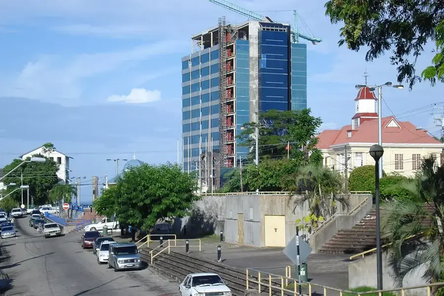
- Nearby: San Fernando (5 km)
Best time to visit & climate
The most pleasant time to visit is Feb–Apr.
| Jan | Feb | Mar | Apr | May | Jun | Jul | Aug | Sep | Oct | Nov | Dec | |
|---|---|---|---|---|---|---|---|---|---|---|---|---|
| Avg °C | 26 | 26 | 27 | 28 | 28 | 27 | 27 | 28 | 28 | 28 | 27 | 27 |
| Rain mm | 97 | 56 | 48 | 55 | 125 | 237 | 220 | 220 | 154 | 186 | 209 | 174 |
📋 Practical info
Geography
Facts
- The river is a primary drainage system for the Oropouche basin.
- The Godineau Swamp is over 3,000 hectares in size.
- It is a key habitat for the West Indian Manatee (rare sightings).
- The area is vital for the local blue crab industry.
- Several Hindu temples are situated near the river’s course.
- The mouth of the river is subject to significant tidal influence.
Explore nearby
Notable places around
Route planner — Car & Motorhome
Where do you start? We build the route here, with stops and country notes along the way.
© OpenStreetMap contributors · OpenRouteService
Sights in the town Godineau River (1)
Sights nearby
Frequently asked questions
Can you navigate the river by boat?
When can you see the most wildlife at the river?
Is the water of Godineau River clean?
Do I need special equipment for a boat tour?
What are the parking options at the river?
Godineau River: where is it located?
Godineau River: when is the best time to visit?
Godineau River: why is it worth visiting?
Nearby cities


History & landmarks
Nature
More places