Plizio Visual Lab
Erin Bay
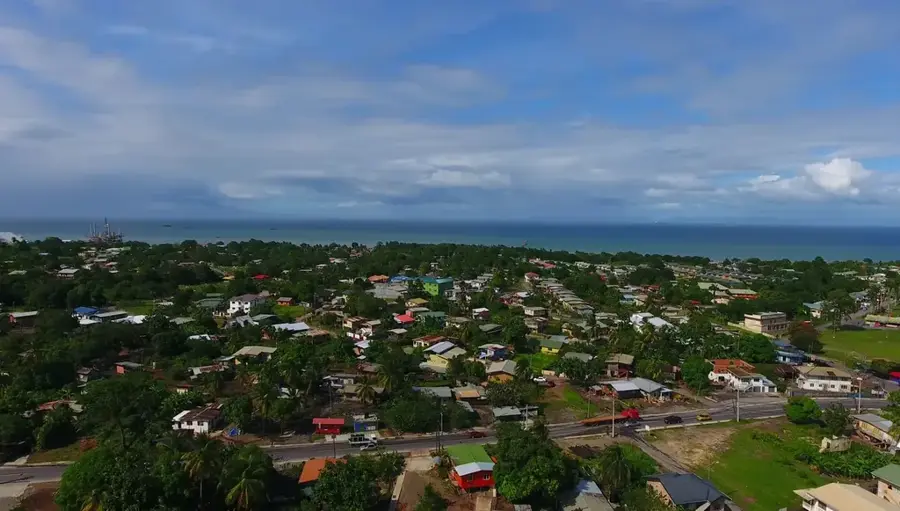
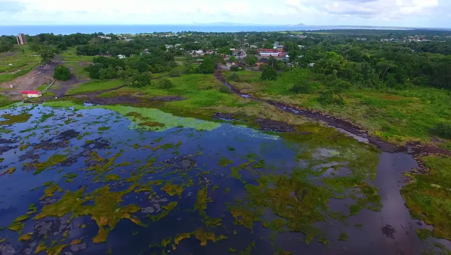
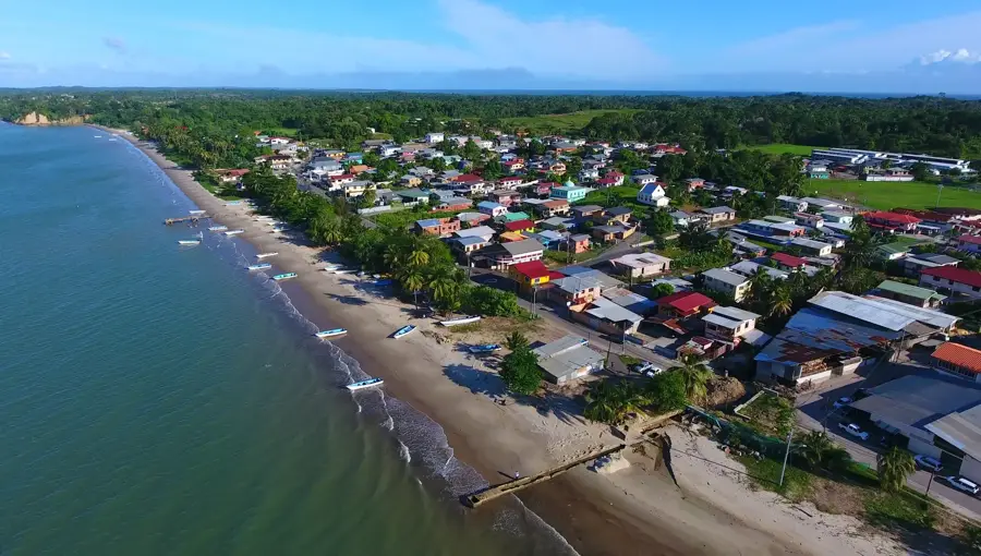
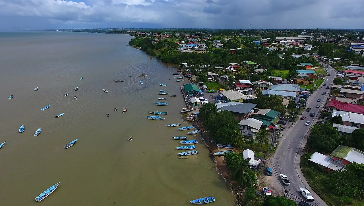
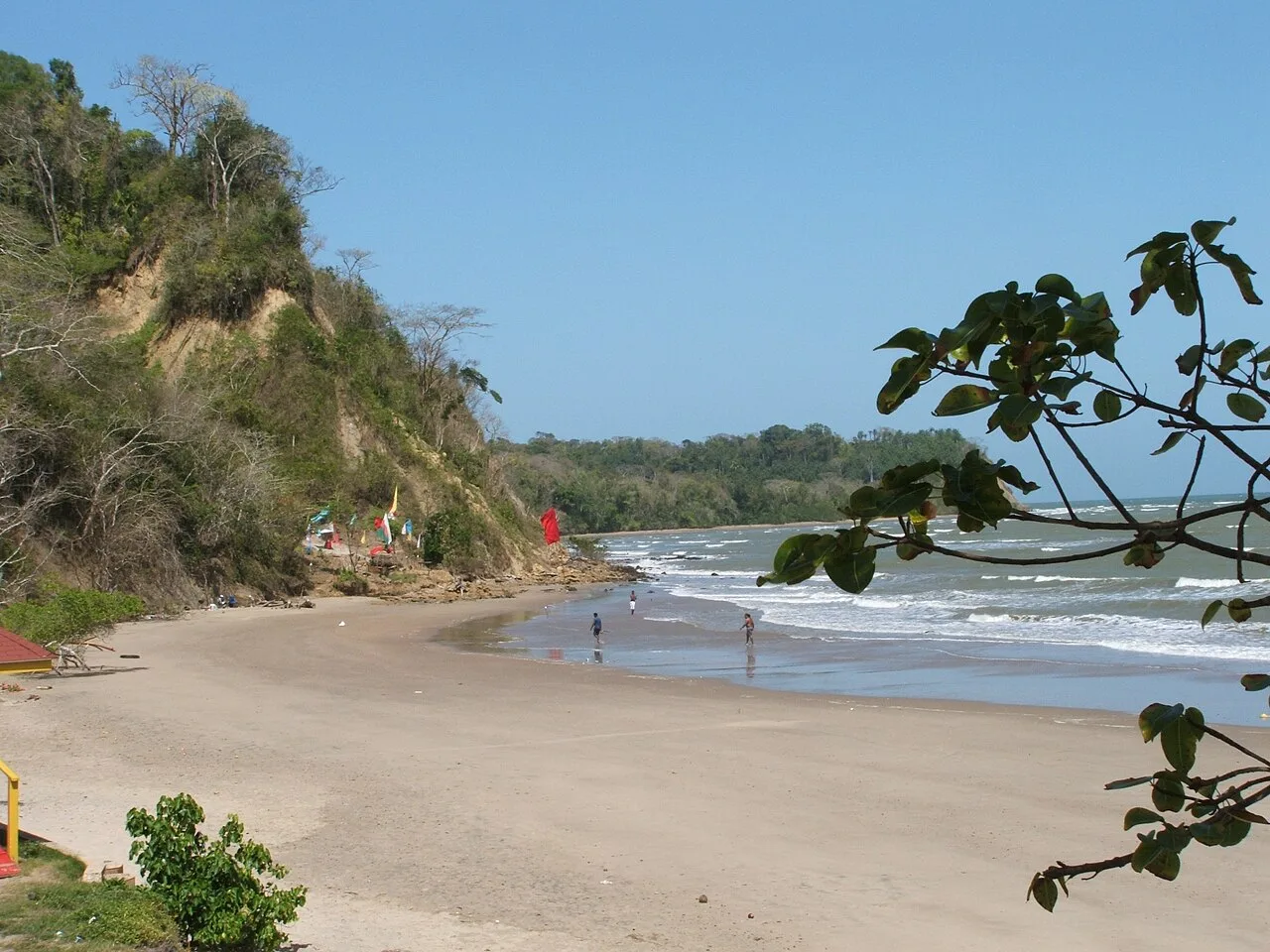
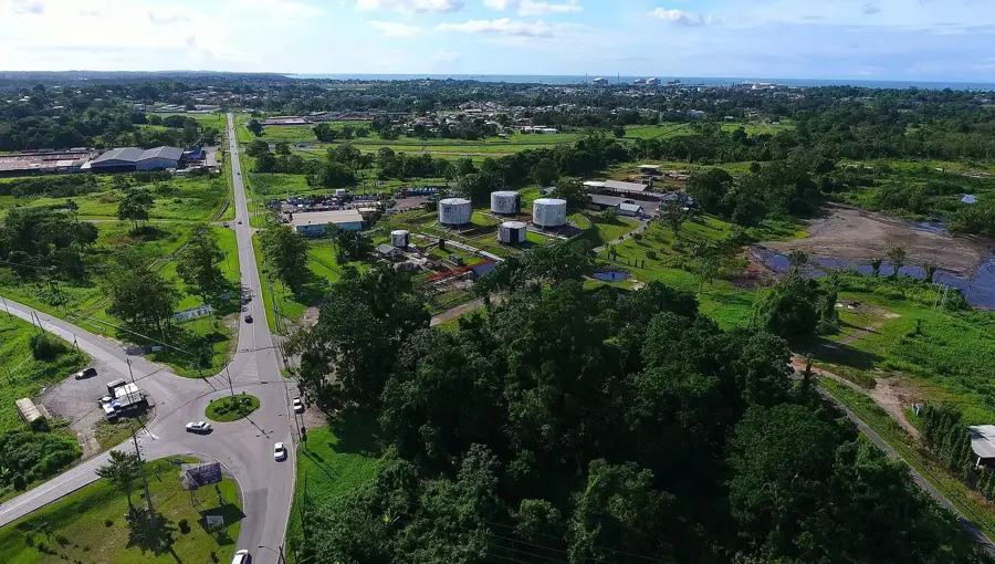
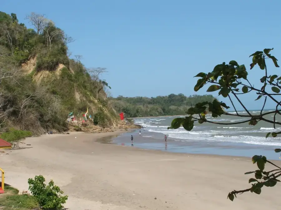
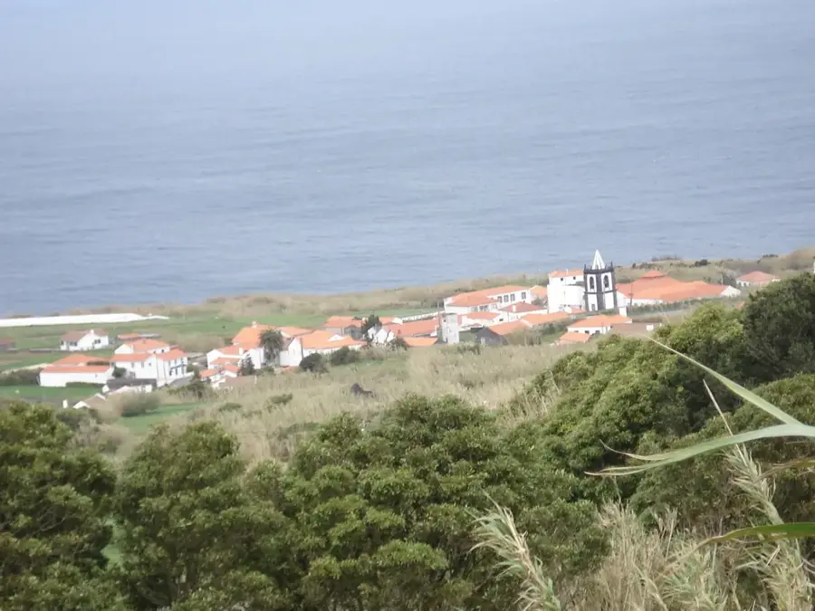
Erin Bay is located on the southern coast of Trinidad and is a significant maritime area known for its rich marine biodiversity and geological importance. The bay is bordered by the fishing village of Erin, which has a long tradition of artisanal fishing. Geologically, the region is famous for the 'Erin Sandstone' formation, which provides essential insights into the paleogeographic development of the island. Another remarkable feature of the surroundings is the presence of mud volcanoes, which are typical of southern Trinidad and highlight the ongoing tectonic activity in this zone. Historically, Erin Bay is of great archaeological interest, as evidence of pre-Columbian indigenous settlements and shell middens have been discovered nearby. The coastal landscape is characterized by a blend of sandy beaches and mangrove forests that act as vital nurseries for various fish species. Today, the bay remains a tranquil location, valued for its natural resources as well as its deep cultural and historical heritage.
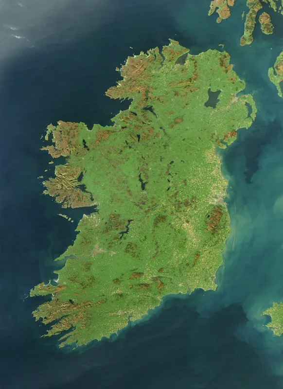
- Location: Trinidad and Tobago
- Nearby: Point D'Or (5 km)
Best time to visit & climate
The most pleasant time to visit is Feb–Apr.
| Jan | Feb | Mar | Apr | May | Jun | Jul | Aug | Sep | Oct | Nov | Dec | |
|---|---|---|---|---|---|---|---|---|---|---|---|---|
| Avg °C | 26 | 26 | 27 | 28 | 28 | 27 | 27 | 28 | 28 | 28 | 27 | 27 |
| Rain mm | 97 | 56 | 48 | 55 | 125 | 237 | 220 | 220 | 154 | 186 | 209 | 174 |
📋 Practical info
Geography
Facts
- Erin Bay is a focal point for the island's traditional artisanal fishing industry.
- The area is the type locality for the geological Erin Sandstone formation.
- Several active mud volcanoes are located in the immediate hinterland.
- Archaeological sites in Erin have yielded significant pre-Columbian artifacts.
- The bay's mangroves serve as a critical nursery for commercial fish species.
- It is situated along the Columbus Channel on Trinidad's southern shore.
Explore nearby
Notable places around
Route planner — Car & Motorhome
Where do you start? We build the route here, with stops and country notes along the way.
© OpenStreetMap contributors · OpenRouteService
Sights in the town Erin Bay (1)
Sights nearby
Frequently asked questions
Is Erin Bay good for relaxation?
Are there lifeguards there?
What are the roads to the bay like?
Is the fishing good there?
What should you not forget?
Erin Bay: where is it located?
Erin Bay: when is the best time to visit?
Erin Bay: why is it worth visiting?
Nearby cities
Nature
More places