Plizio Visual Lab
Palo Seco

ℹ️Practical info — Palo Seco
▾
🌤 Weather — 5 days
📍 Nearby
Sights nearby
💡 Tips
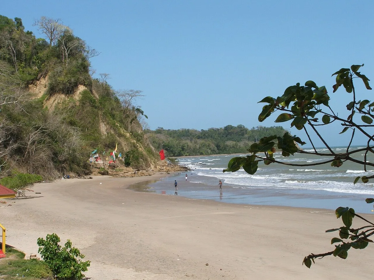
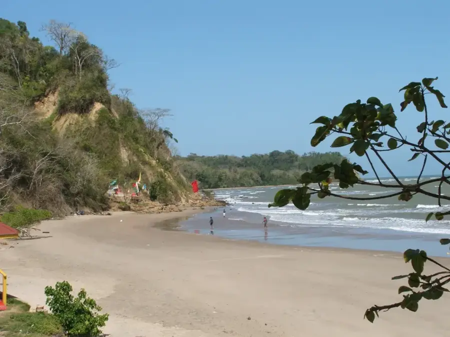
- Visit the local beach, which is often much quieter than the famous coastal stretches in the north.
- Explore the historical architecture of the village, which was heavily shaped by the oil industry.
- Since public transport is sparse in the south, a rental car is highly recommended for getting around.
- The Palo Seco Velodrome is a local highlight if cycling races are being held.
🍽 Food
Look for small huts near the beach serving freshly caught fish.
On weekend evenings, you can often find stalls selling grilled meats along the main road.
Try traditional sweets in the small village shops.
🛍 Shopping · 🧘 Quiet spots
Fresh fruit and vegetables from the region are often sold at roadside stalls.
Small grocery stores along the main road carry the essentials.
A spacious area under trees right by the sea, handy for a picnic.
The quiet roads heading towards Quinam Beach offer a relaxing drive through nature.
Water temperature…
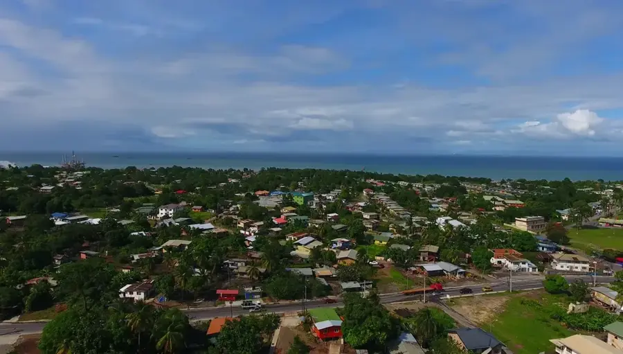
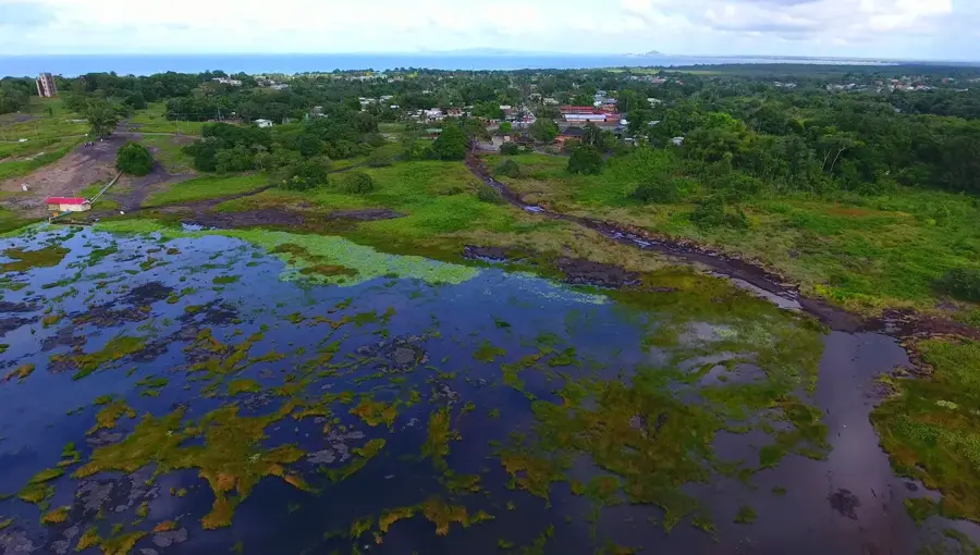
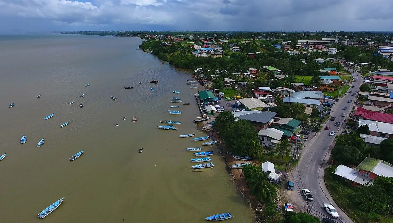
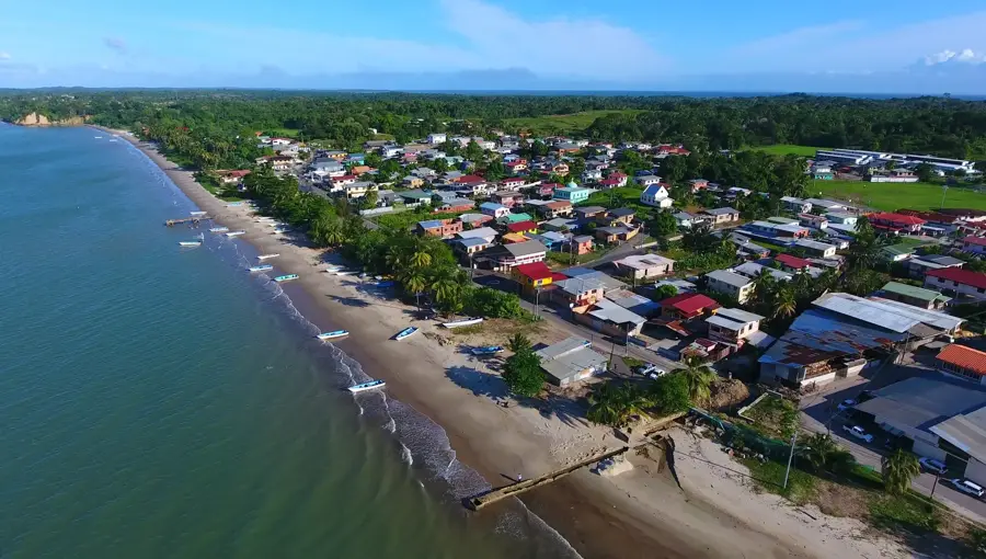
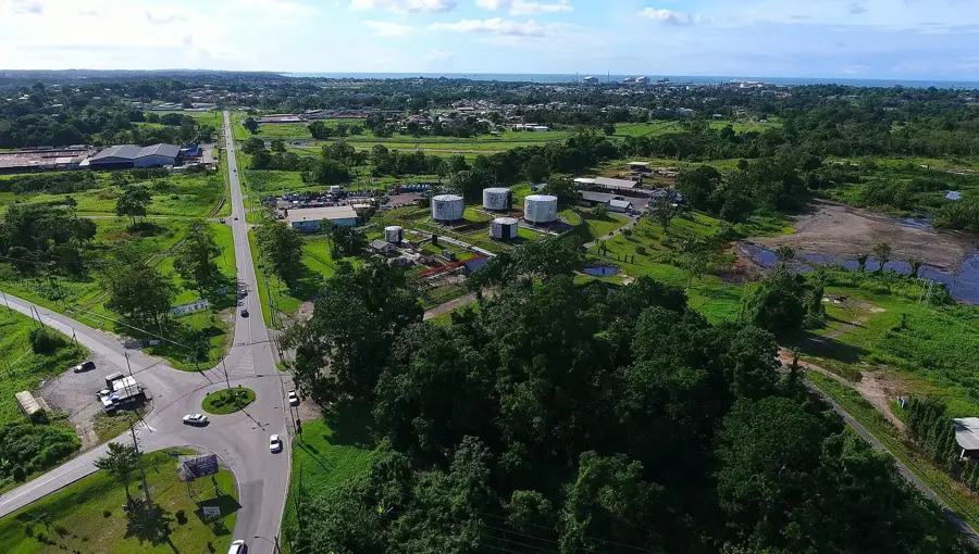
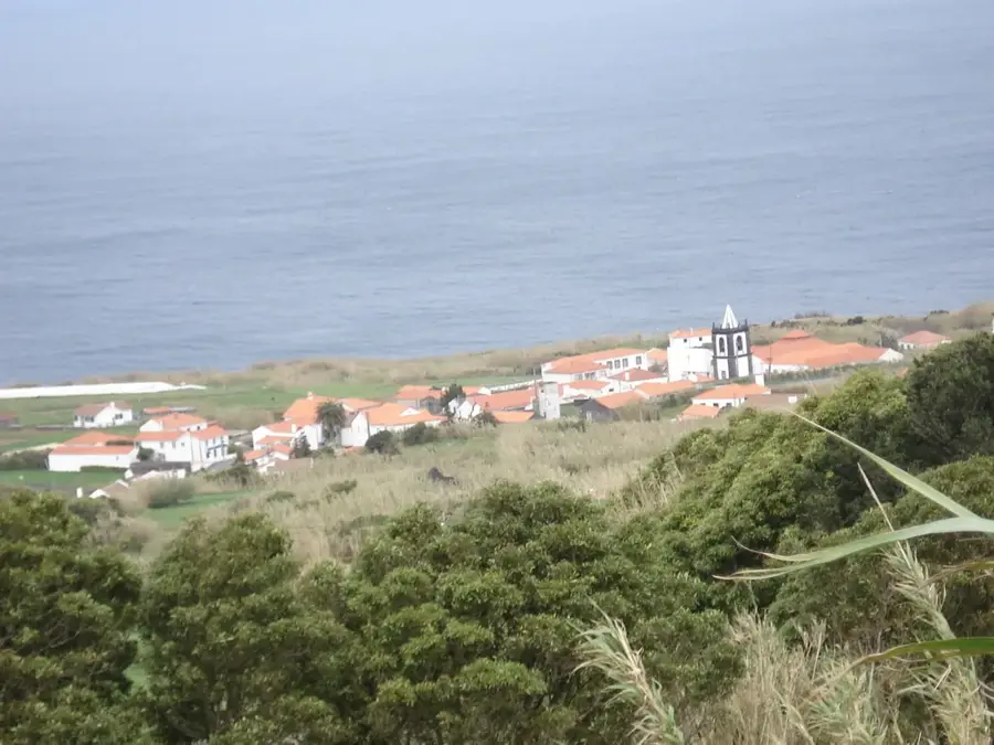
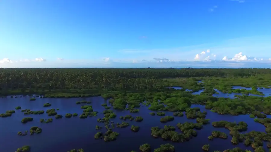
Palo Seco is located on the southern coast of Trinidad and is inextricably linked to the history of the nation's petroleum industry. The name, which means 'dry wood' in Spanish, refers to the original vegetation of the region before the onset of large-scale industrial development. Geographically, it is situated near Erin and Santa Flora, in an area exceptionally rich in underground hydrocarbon reserves. The growth of Palo Seco was driven by the establishment of oil camps in the early 20th century, which created a self-contained infrastructure including schools, hospitals, and social clubs for employees. Today, the village hosts key operational facilities for the state-owned Heritage Petroleum (formerly Petrotrin), serving as a strategic hub for extraction and maintenance. Beyond industry, the area features natural attractions such as Palo Seco Beach, prized for its seclusion and the rugged scenic beauty of the southern coastline. The community takes great pride in its sporting heritage, particularly in cricket and football, which have historically been fostered by the oil companies. Despite its industrial roots, the surrounding landscape still contains significant tracts of secondary tropical forest and agricultural plots.
- Location: Trinidad and Tobago
- Nearby: Erin (6 km)
Best time to visit & climate
The most pleasant time to visit is Feb–Apr.
| Jan | Feb | Mar | Apr | May | Jun | Jul | Aug | Sep | Oct | Nov | Dec | |
|---|---|---|---|---|---|---|---|---|---|---|---|---|
| Avg °C | 26 | 26 | 27 | 28 | 28 | 27 | 27 | 28 | 28 | 28 | 27 | 27 |
| Rain mm | 97 | 56 | 48 | 55 | 125 | 237 | 220 | 220 | 154 | 186 | 209 | 174 |
Geography
Facts
- The name is Spanish for 'dry wood', referring to the local flora.
- A major operational hub for the southern oilfields of Trinidad.
- Home to significant facilities of the state-owned Heritage Petroleum.
- Features the Palo Seco Velodrome, a center for national cycling events.
- The village grew around the oil camps established in the early 1900s.
- Located in the Siparia Regional Corporation in southern Trinidad.
Explore nearby
Notable places around
Route planner — Car & Motorhome
Where do you start? We build the route here, with stops and country notes along the way.
© OpenStreetMap contributors · OpenRouteService
Sights in the town Palo Seco (1)
Frequently asked questions
What is Palo Seco?
Can you visit the area?
Are there attractions there?
What is best to do there?
Do you need a car?
Palo Seco: where is it located?
Palo Seco: when is the best time to visit?
Palo Seco: why is it worth visiting?
Nearby cities
Nature
More places