Plizio Visual Lab
Gasparillo

ℹ️Practical info — Gasparillo
▾
🌤 Weather — 5 days
📍 Nearby
Sights nearby
💡 Tips
- Gasparillo is famous for its late-night street food at the main junction.
- Plan your visit for the late evening when the food stalls are most active.
- The town is close to the refinery, which can cause heavy traffic during peak hours.
- Ask locals for the best "Corn Soup" stand along the Bonne Aventure Road.
- Use the taxis available at the junction for quick rides to surrounding neighborhoods.
🍽 Food
Extremely popular on weekends at the Gasparillo junction.
A hearty soup often sold late at night by roadside vendors.
A local favorite, often served with rice or roti in small eateries.
🛍 Shopping · 🧘 Quiet spots
Local stores for everyday essentials and clothing.
Great for buying fresh fruit and local honey.
Offer quiet streets for evening walks with views of the lights below.
Small green spaces in the town invite you to linger and rest.
Water temperature…
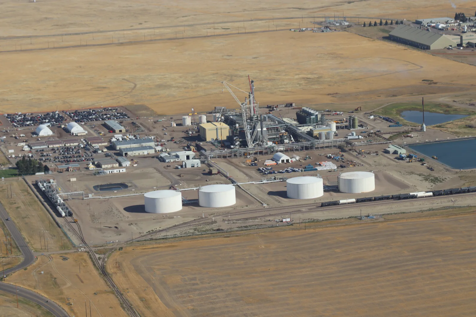
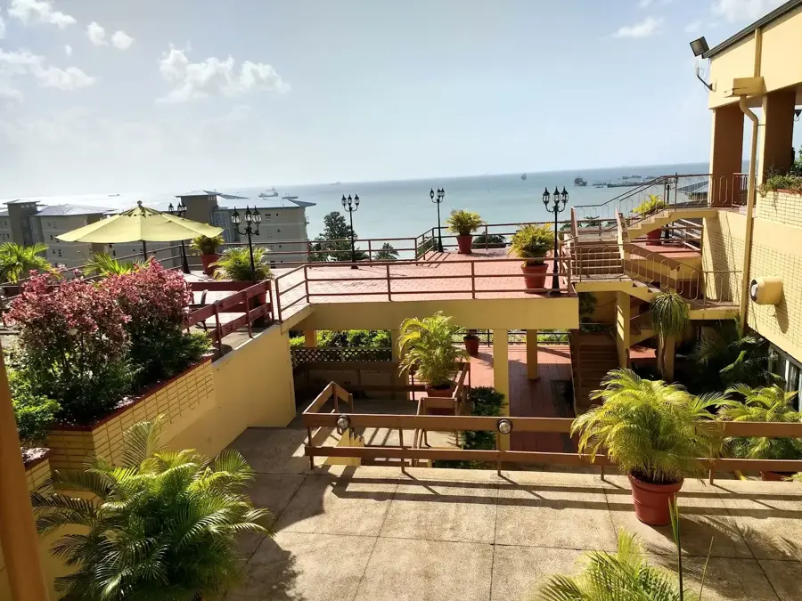
Gasparillo is a prominent settlement in southern Trinidad, situated to the northeast of San Fernando. The town originally developed as an agricultural hub, closely tied to the cultivation of sugarcane and cocoa. With the industrialization of the region, particularly due to its proximity to the Pointe-à-Pierre oil refinery, Gasparillo transitioned into a vital residential and service center for industrial workers. The settlement pattern is characterized by a hilly topography, with the main thoroughfares forming the commercial heart of the town. Today, Gasparillo functions as a key transit point between the rural eastern districts and the industrial zones along the western coast. The ethnic diversity of the population reflects the island's complex migration history, with Indo-Trinidadian and Afro-Trinidadian influences shaping the local culture. Despite its proximity to heavy industry, the town maintains a distinct character through its local markets and diverse religious institutions.
- Location: Trinidad and Tobago
- Nearby: Hardbargain (4 km)
- Population: ~9.925 (2024)
Best time to visit & climate
The most pleasant time to visit is Feb–Apr.
| Jan | Feb | Mar | Apr | May | Jun | Jul | Aug | Sep | Oct | Nov | Dec | |
|---|---|---|---|---|---|---|---|---|---|---|---|---|
| Avg °C | 26 | 26 | 27 | 28 | 28 | 27 | 27 | 27 | 27 | 27 | 27 | 26 |
| Rain mm | 100 | 61 | 52 | 56 | 117 | 222 | 202 | 202 | 141 | 176 | 213 | 178 |
Geography
Facts
- Located approximately 6 kilometers northeast of the city of San Fernando.
- The economy was long dependent on the proximity to the Pointe-à-Pierre refinery.
- The name likely originates from the Spanish colonial era.
- Features well-developed infrastructure including schools and police stations.
- Administratively falls under the Couva-Tabaquite-Talparo Regional Corporation.
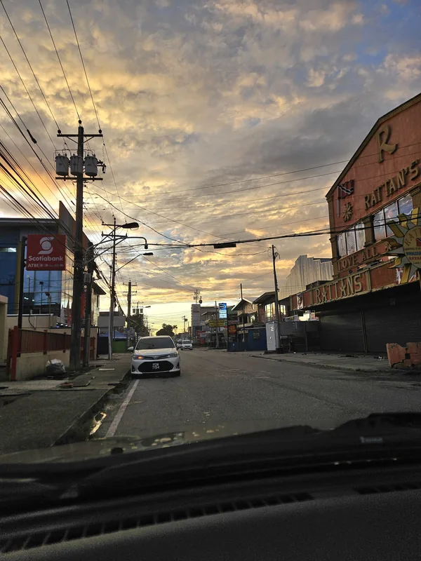
- Known for its busy Main Road, which serves as a major commercial corridor.
Explore nearby
Notable places around
Route planner — Car & Motorhome
Where do you start? We build the route here, with stops and country notes along the way.
© OpenStreetMap contributors · OpenRouteService
Sights in the town Gasparillo (1)
Frequently asked questions
How much time is needed for a visit to Gasparillo?
What is the best season for Gasparillo?
How is the access to Gasparillo?
Are there typical dishes in Gasparillo?
Is Gasparillo suitable for children?
Gasparillo: where is it located?
Gasparillo: when is the best time to visit?
Gasparillo: why is it worth visiting?
Nearby cities


Nature
More places