Plizio Visual Lab
Los Guatuzos Wildlife Refuge
Weather…
Water temperature…
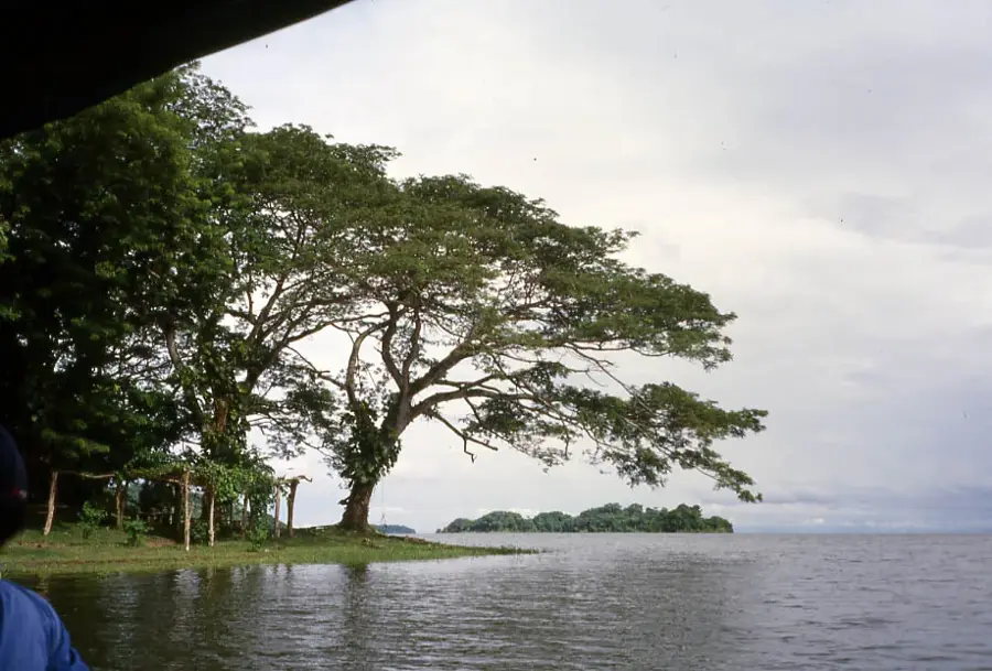
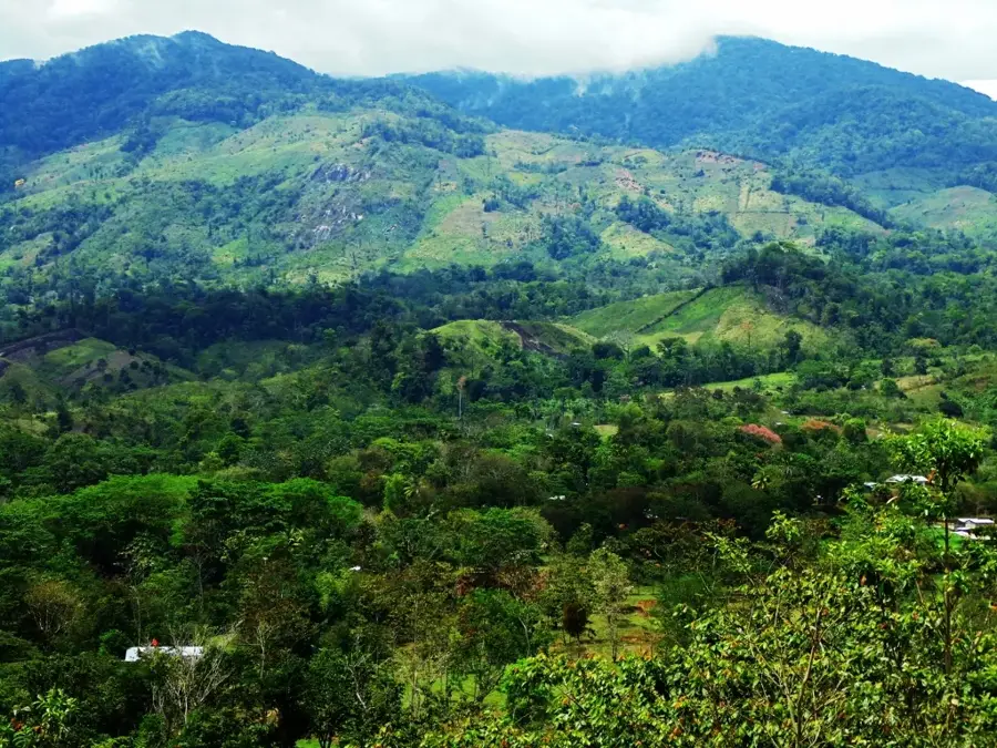
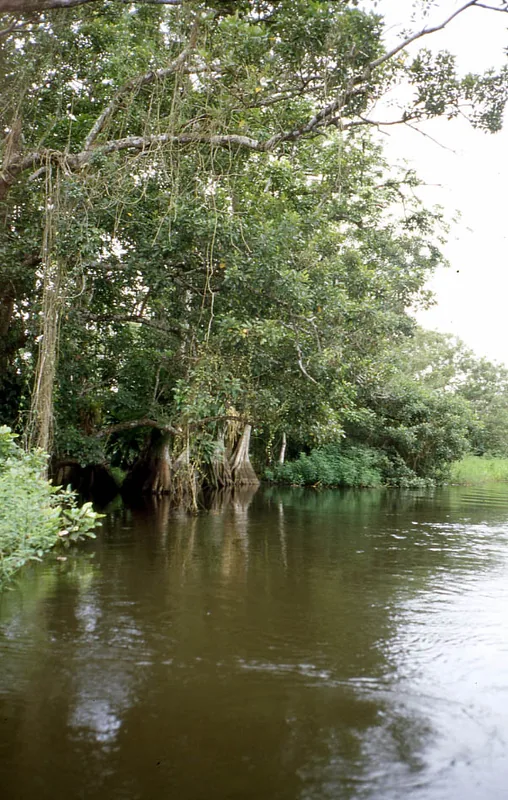
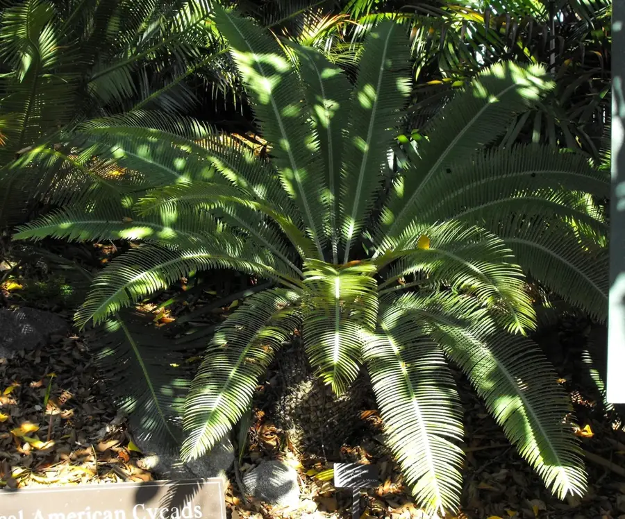
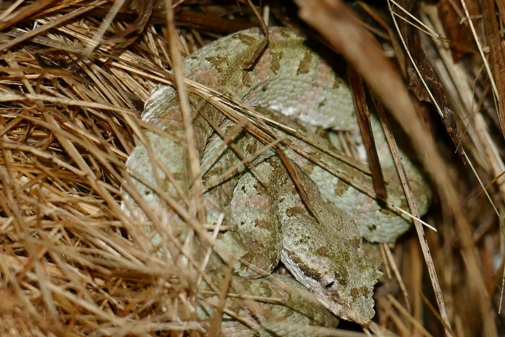
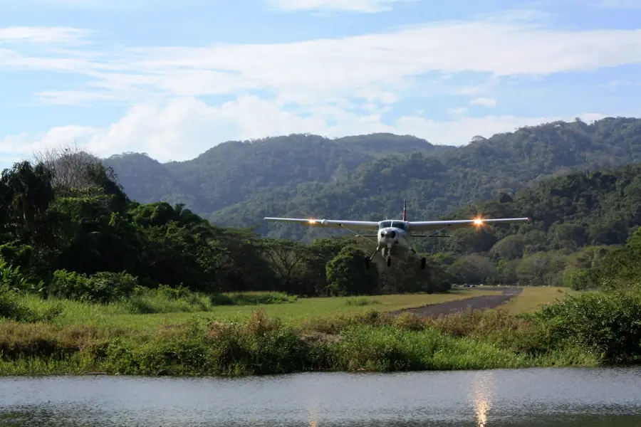
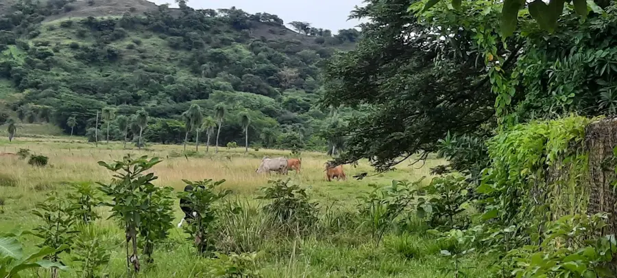
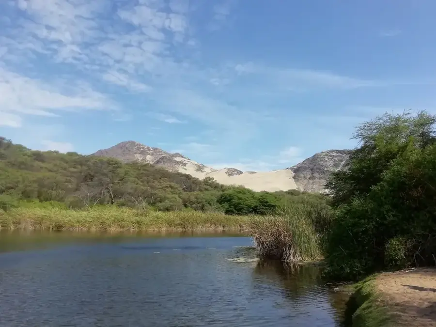
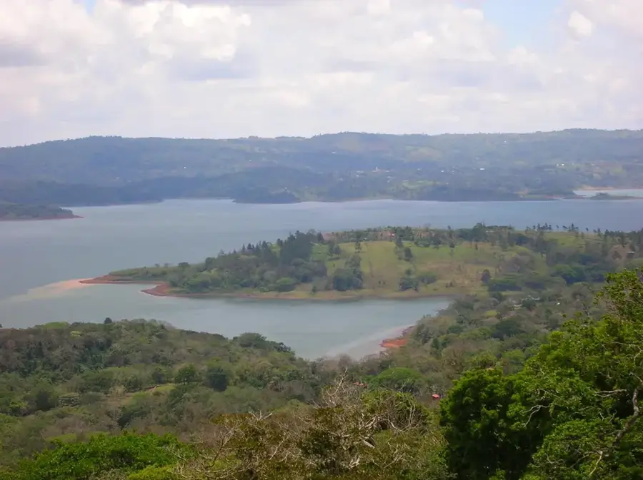
Los Guatuzos Wildlife Refuge spans the southern shore of Lake Nicaragua in the Río San Juan department, covering an area of approximately 437 square kilometers. In 1997, it became the first site in Nicaragua to be designated as a wetland of international importance under the Ramsar Convention. The reserve is a labyrinth of rivers, canals, and tropical wetlands that harbor an incredible diversity of flora and fauna, including caymans, turtles, and various monkey species. For ornithologists, it is a true paradise, as over 300 bird species nest here or stop over during their migration. Access is primarily by boat from the town of San Carlos or the Solentiname Islands, which enhances the sense of seclusion and adventure. An on-site research center and a butterfly house provide further insights into the ecological significance of this protected ecosystem located on the border with Costa Rica.
- Location: Nicaragua
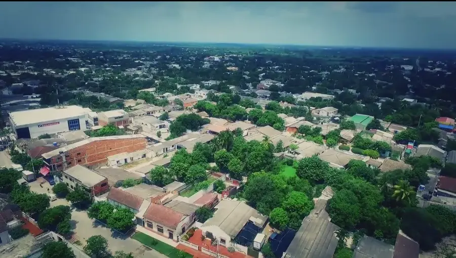
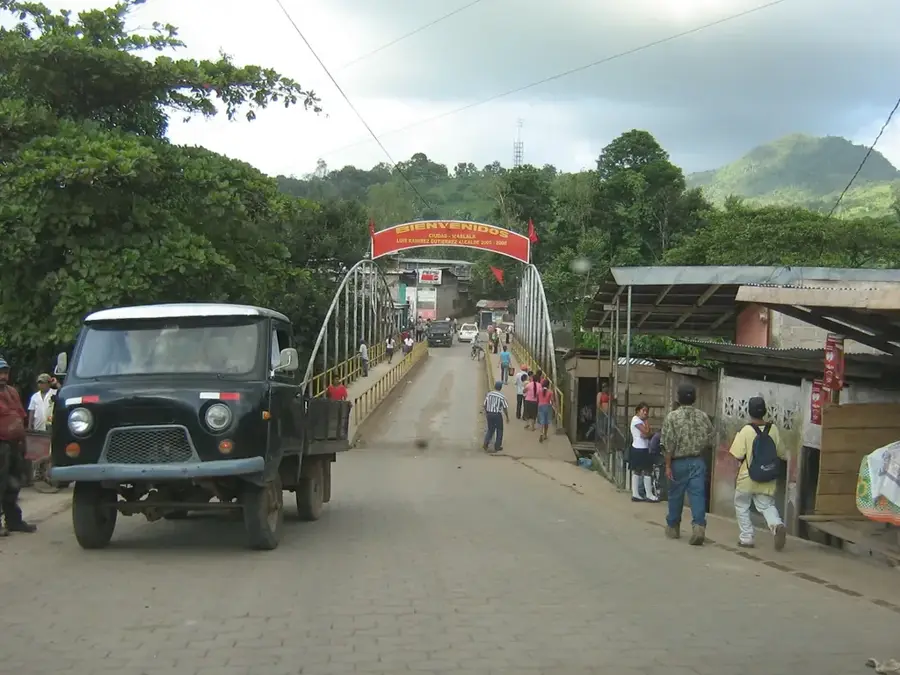
- Nearby: Morrito (6 km)
Best time to visit & climate
The most pleasant time to visit is Jan, Feb, Dec.
| Jan | Feb | Mar | Apr | May | Jun | Jul | Aug | Sep | Oct | Nov | Dec | |
|---|---|---|---|---|---|---|---|---|---|---|---|---|
| Avg °C | 25 | 26 | 27 | 28 | 28 | 27 | 26 | 26 | 26 | 26 | 25 | 25 |
| Rain mm | 16 | 9 | 11 | 37 | 185 | 179 | 134 | 179 | 256 | 297 | 137 | 27 |
📋 Practical info
Geography
Facts
- Located on the southern shore of Lake Nicaragua.
- Nicaragua's first Ramsar site, designated in 1997.
- Encompasses an area of approximately 437 square kilometers.
- Accessible primarily by boat from the town of San Carlos.
- Home to caymans, crocodiles, and various monkey species.
- Contains a research center and a butterfly observatory.
Explore nearby
Notable places around
Route planner — Car & Motorhome
Where do you start? We build the route here, with stops and country notes along the way.
© OpenStreetMap contributors · OpenRouteService
Sights in the town Los Guatuzos Wildlife Refuge (1)
Sights nearby
Frequently asked questions
What can you see in Los Guatuzos Wildlife Refuge?
Is a guide necessary for the visit?
How do you get around the reserve?
Are there safety measures for visitors?
When is the best time for wildlife watching?
Los Guatuzos Wildlife Refuge: where is it located?
Los Guatuzos Wildlife Refuge: when is the best time to visit?
Los Guatuzos Wildlife Refuge: why is it worth visiting?

Nearby cities


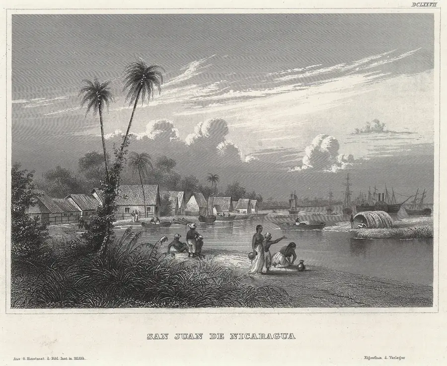
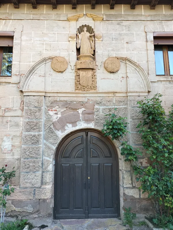
History & landmarks
Nature


More places