Plizio Visual Lab
Cárdenas
ℹ️Practical info — Cárdenas
▾
🌤 Weather — 5 days
📍 Nearby
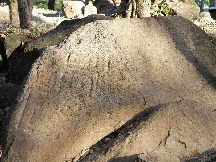
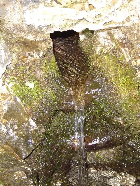
Sights nearby
💡 Tips
- Because it is a border town with Costa Rica, keep your passport handy if you are moving around near the border crossing.
- The climate is very hot and humid; always carry a bottle of water when exploring the town or the lakeshore.
- Use the town as a quiet base for arranging boat tours on Lake Nicaragua.
- Expect a very laid-back, unhurried atmosphere, as daily life moves much slower here than in major tourist hubs.
🍽 Food
Try this whole fried bass sourced directly from Lake Nicaragua, often served with tostones (fried plantains).
The staple Nicaraguan dish of rice and beans, found at almost every local 'comedor' for a hearty breakfast.
A classic dish of yuca (cassava), pork rinds (chicharrón), and cabbage salad, traditionally served on a banana leaf.
🛍 Shopping · 🧘 Quiet spots
Stock up on snacks, drinks, and basic essentials here before heading out on nature excursions.
Occasionally, you can find small stands of locals selling simple wood carvings or handmade jewelry.
Find a quiet spot along the lakeside to enjoy the cooling breeze and the vast views over the water.
The small, green park in the center is the first-rate place to rest in the shade and watch the sleepy small-town life.
Water temperature…
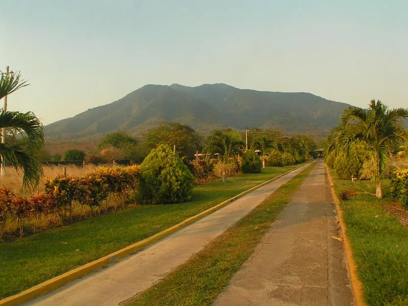
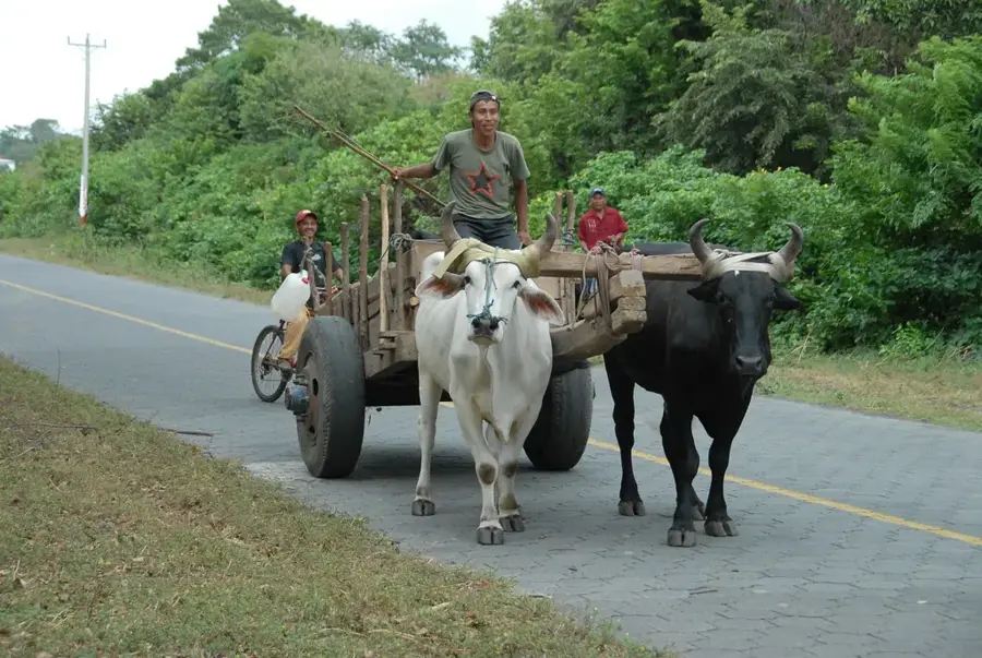
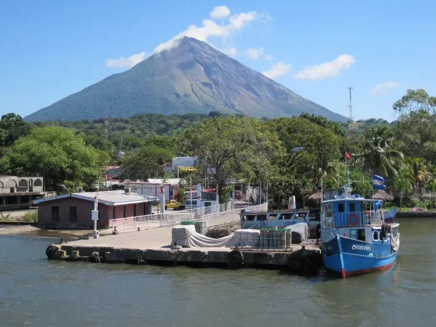
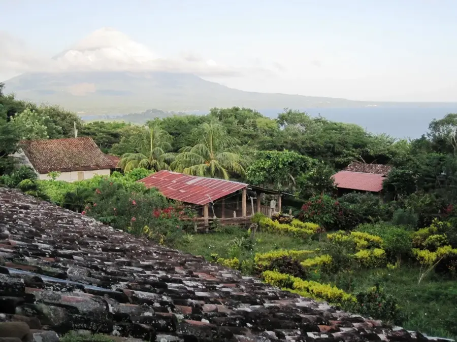
Cárdenas is located on the southern shores of Lake Nicaragua, also known as Cocibolca, in the department of Rivas, directly on the border with Costa Rica. The municipality was officially established in 1912 and holds strategic importance as a frontier outpost between the two Central American nations. Geographically, the area is characterized by a flat coastal plain that transitions southward into the forested hills of the Sierra de San Juan. The local economy relies primarily on lake fishing and agriculture, with the cultivation of cocoa, citrus fruits, and basic grains being dominant. Historically, the region served as a vital corridor for trade and migration between the Nicaraguan lowlands and the Costa Rican highlands. In recent decades, the significance of cross-border trade has increased, leading to the modernization of local infrastructure and the nearby Sapoá-Peñas Blancas border crossing facility.
- Location: Nicaragua
- Nearby: Altagracia (8 km)
- Population: ~1.204 (2024)
Best time to visit & climate
The most pleasant time to visit is Jan, Feb, Dec.
| Jan | Feb | Mar | Apr | May | Jun | Jul | Aug | Sep | Oct | Nov | Dec | |
|---|---|---|---|---|---|---|---|---|---|---|---|---|
| Avg °C | 26 | 27 | 27 | 28 | 28 | 27 | 26 | 27 | 26 | 26 | 25 | 25 |
| Rain mm | 3 | 3 | 3 | 26 | 216 | 221 | 156 | 215 | 315 | 363 | 163 | 14 |
Geography
Facts
- Cárdenas was established as an independent municipality in 1912.
- The town is situated approximately 160 kilometers south of the capital city, Managua.
- The border with Costa Rica is located just a few kilometers south of the town center.
- The municipal territory covers an area of about 227 square kilometers.
- Fishing in Lake Nicaragua is the primary source of income for many residents.
- The region experiences a tropical climate with a distinct rainy season from May to November.
Explore nearby
Notable places around
Route planner — Car & Motorhome
Where do you start? We build the route here, with stops and country notes along the way.
© OpenStreetMap contributors · OpenRouteService
Sights in the town Cárdenas (1)
Frequently asked questions
How long should I stay in Cárdenas?
What is the best time to visit?
Is Cárdenas a kid-friendly place?
How do I get to Cárdenas?
What is there to do near Cárdenas?
Cárdenas: where is it located?
Cárdenas: when is the best time to visit?
Cárdenas: why is it worth visiting?

Nearby cities


History & landmarks
More places