Plizio Visual Lab
San Carlos
ℹ️Practical info — San Carlos
▾
🌤 Weather — 5 days
📍 Nearby
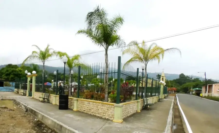
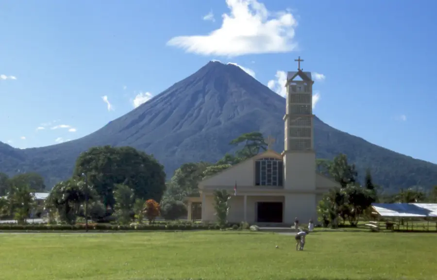
Sights nearby
💡 Tips
- Use the city as your well-suited starting point for boat tours to the Solentiname Islands.
- Buy tickets for public boats (pangas) early in the morning at the main pier.
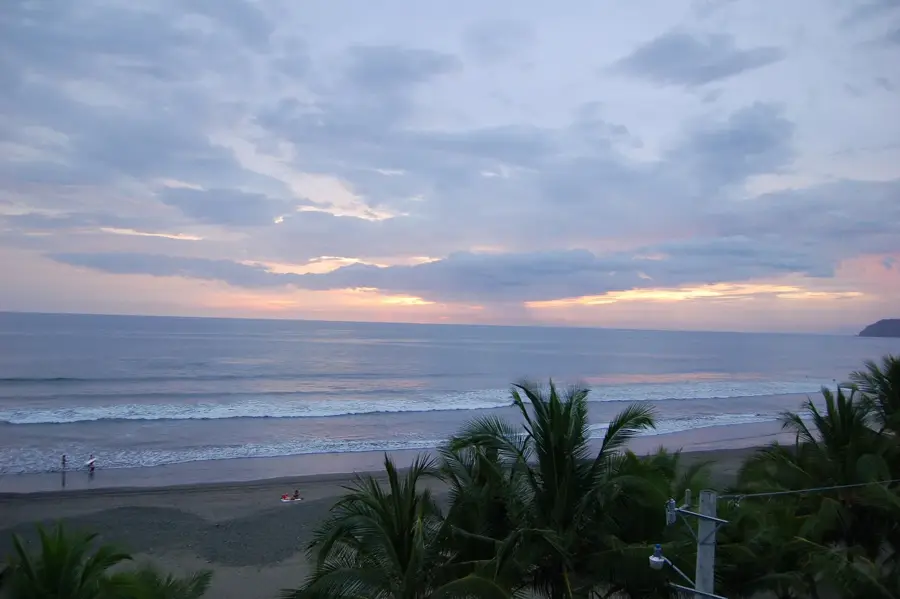
- Take a stroll along the Malecón (waterfront boardwalk) at sunset for the best views.
- Don't forget strong mosquito repellent, as bugs can be heavy near the water.
🍽 Food
Whole fried freshwater fish from the lake, served in the simple eateries along the Malecón.
A local snack of cabbage, cassava, and crispy pork rinds, often sold by street vendors.
Traditional Nicaraguan weekend breakfast, found in local comedores (small dining rooms).
🛍 Shopping · 🧘 Quiet spots
Crafts originating from the Solentiname Islands, sold in small shops near the dock.
The best place to buy fresh tropical fruits and immerse yourself in daily local life.
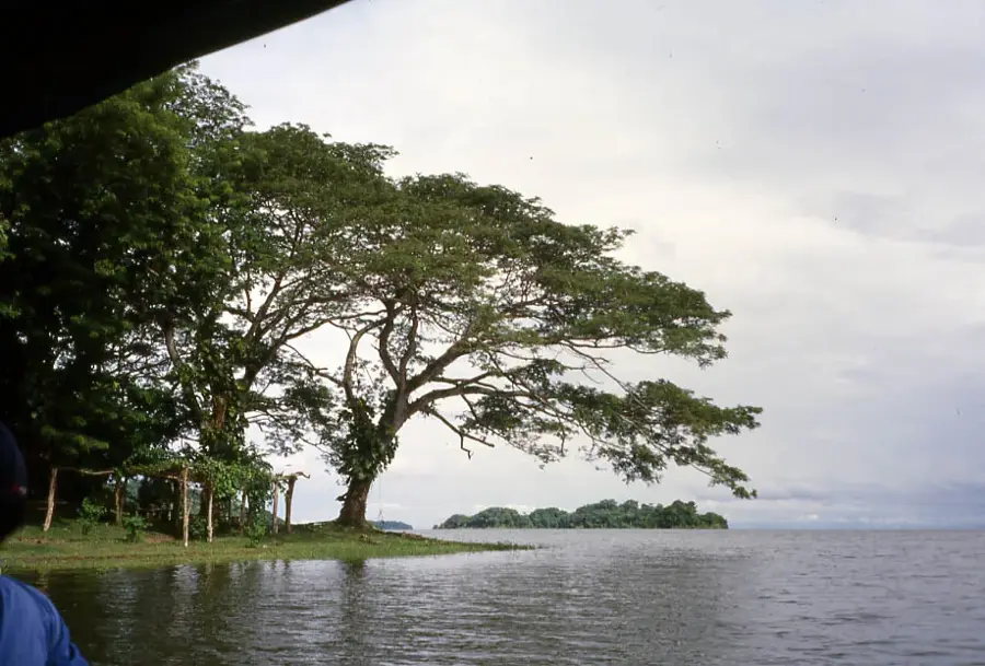
Watch in absolute peace as the small boats head out onto the massive Lake Nicaragua.
Features a quiet spot and a magnificent panoramic view over the lake and river.
Water temperature…
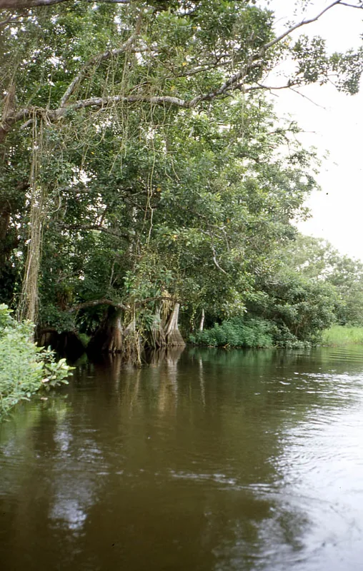
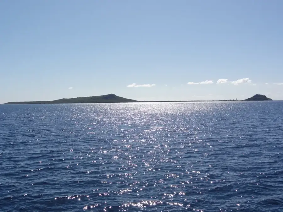
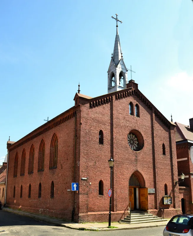
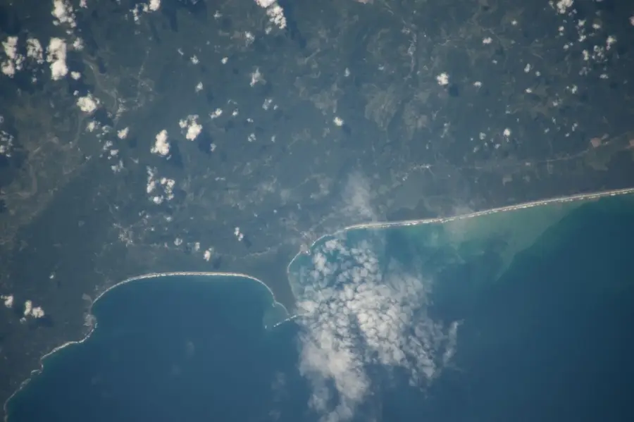
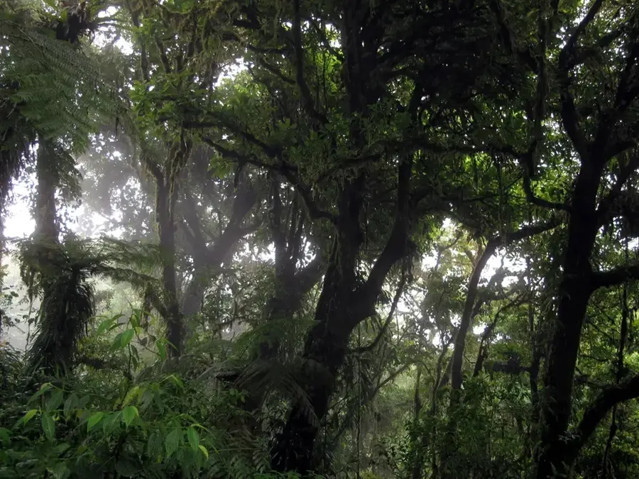
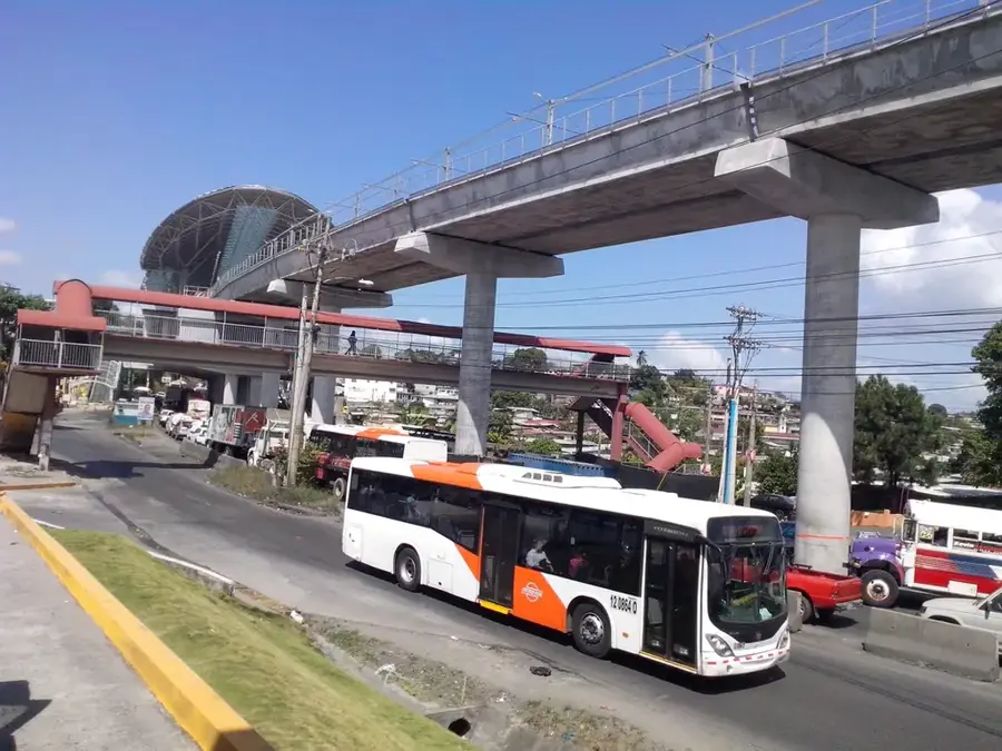
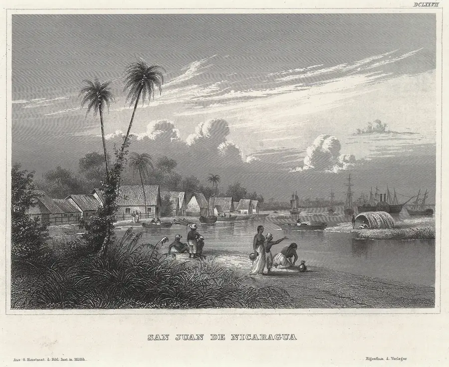
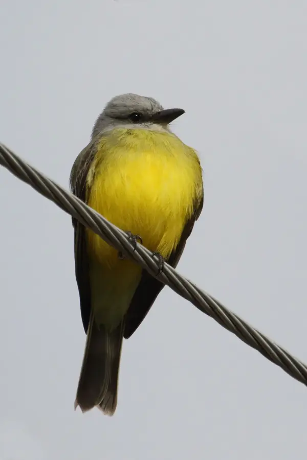
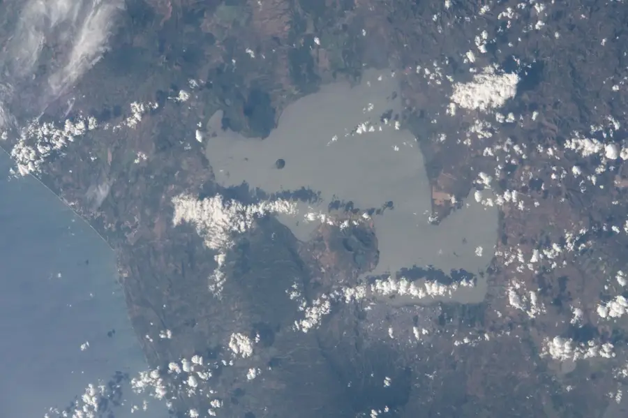
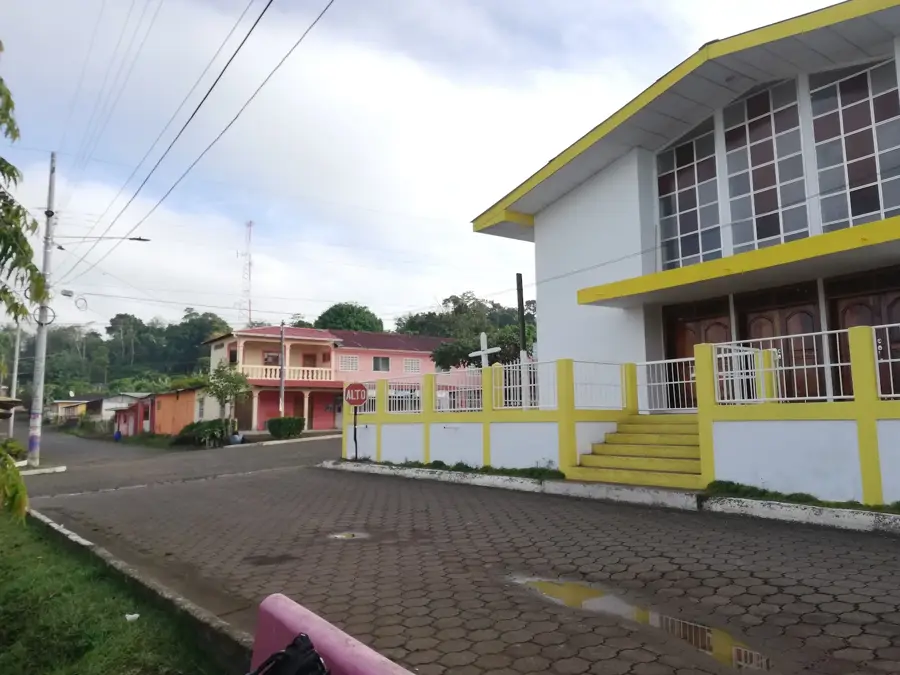
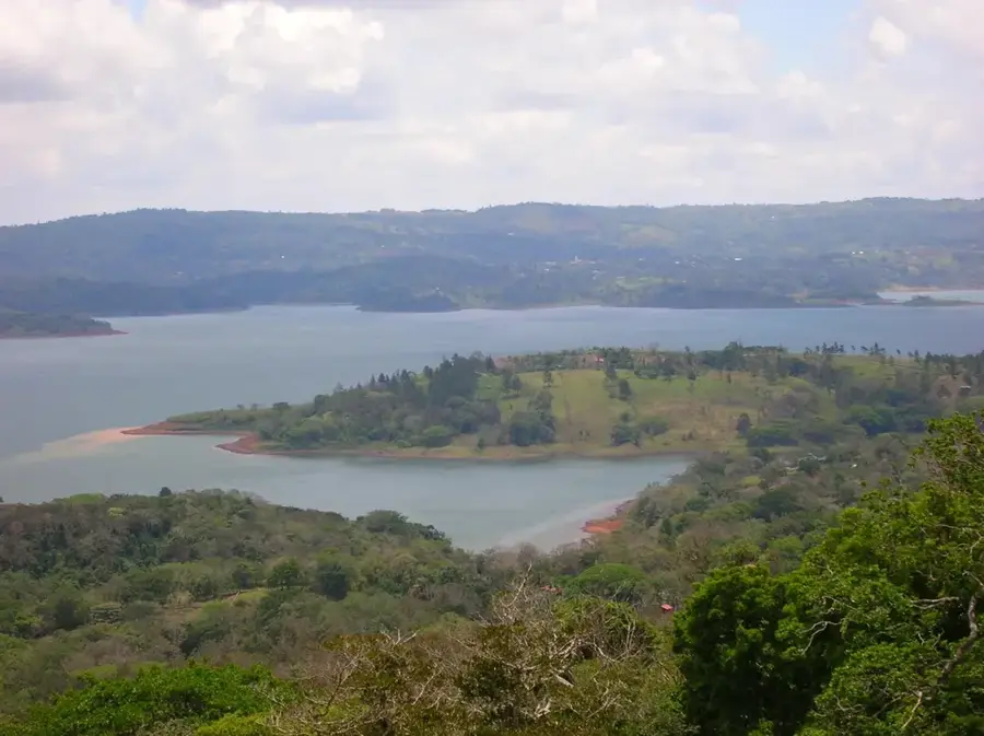
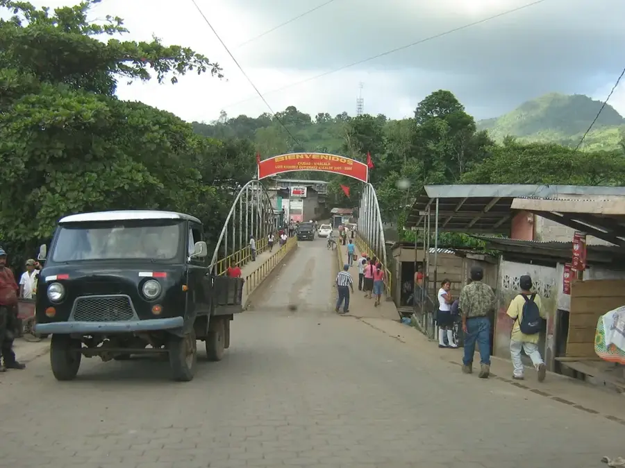
San Carlos, the capital of the Rio San Juan Department, is a strategic port town located at the southeastern tip of Lake Nicaragua, precisely where its waters begin their journey to the Caribbean Sea via the San Juan River. For centuries, this location has made San Carlos a vital gateway for trade and defense, leading to the construction of the San Carlos Fortress by the Spanish in the 17th century to repel British pirates and rival colonial forces. Today, the town serves as the primary administrative and commercial center for one of Nicaragua's most ecologically diverse regions. It is the essential hub for travelers headed to the Solentiname Islands, known for their primitivist art movement, and the vast Indio Maiz Biological Reserve, one of the most important tropical rainforests in Central America. The economy of San Carlos is driven by fishing, river trade, and a burgeoning ecotourism sector that attracts nature lovers and birdwatchers from around the globe. Recent infrastructure projects, such as the completion of the Santa Fe Bridge and the renovation of the municipal airport, have significantly improved connectivity with both Managua and neighboring Costa Rica. The town's waterfront, or malecón, is a lively gathering place that provides impressive sunset views over the lake and the distant volcanoes. Culturally, San Carlos holds a place of honor in modern Nicaraguan history due to the 1977 assault on its military barracks, a key event in the Sandinista revolution. The atmosphere in San Carlos is one of tropical tranquility, characterized by the sights and sounds of river life, where boats are the primary mode of transportation for many surrounding communities. As a crossroads of history, nature, and commerce, San Carlos remains a unique and indispensable part of the Nicaraguan landscape.
- Location: Nicaragua
- Top sights: Frío River (Costa Rica) · San Carlos, Nicaragua
- Nearby: San Miguelito (14 km)
- Population: ~13.451 (2026)
Best time to visit & climate
The most pleasant time to visit is Jan, Feb, Dec.
| Jan | Feb | Mar | Apr | May | Jun | Jul | Aug | Sep | Oct | Nov | Dec | |
|---|---|---|---|---|---|---|---|---|---|---|---|---|
| Avg °C | 25 | 26 | 27 | 28 | 28 | 27 | 26 | 26 | 26 | 26 | 25 | 25 |
| Rain mm | 16 | 9 | 11 | 37 | 185 | 179 | 134 | 179 | 256 | 297 | 137 | 27 |
Geography
Facts
- San Carlos was a critical point on the 19th-century 'Route of Transit' to California.
- The town was designated as the capital of the Rio San Juan department in 1949.
- The distance by water from San Carlos to Ometepe Island is approximately 100 kilometers.
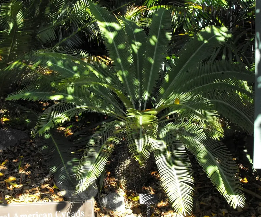
- The local flora includes over 1500 species of tropical plants in the surrounding basin.
- San Carlos serves as the main customs and immigration point for river travel to Costa Rica.
- The town's market is a primary source for freshwater fish like guapote and mojara.
- Education in San Carlos includes several technical centers focused on agriculture and forestry.
- The San Carlos Fortress was declared a National Historical Monument in 2006.
Explore nearby
Notable places around
Route planner — Car & Motorhome
Where do you start? We build the route here, with stops and country notes along the way.
© OpenStreetMap contributors · OpenRouteService
Sights in the town San Carlos (2)
Frequently asked questions
Why go to San Carlos?
What is the weather like?
Is there malaria?
When is the best time to visit?
Is there nature there?
San Carlos: where is it located?
San Carlos: what is there to see?
San Carlos: when is the best time to visit?
San Carlos: why is it worth visiting?

Nearby cities

History & landmarks
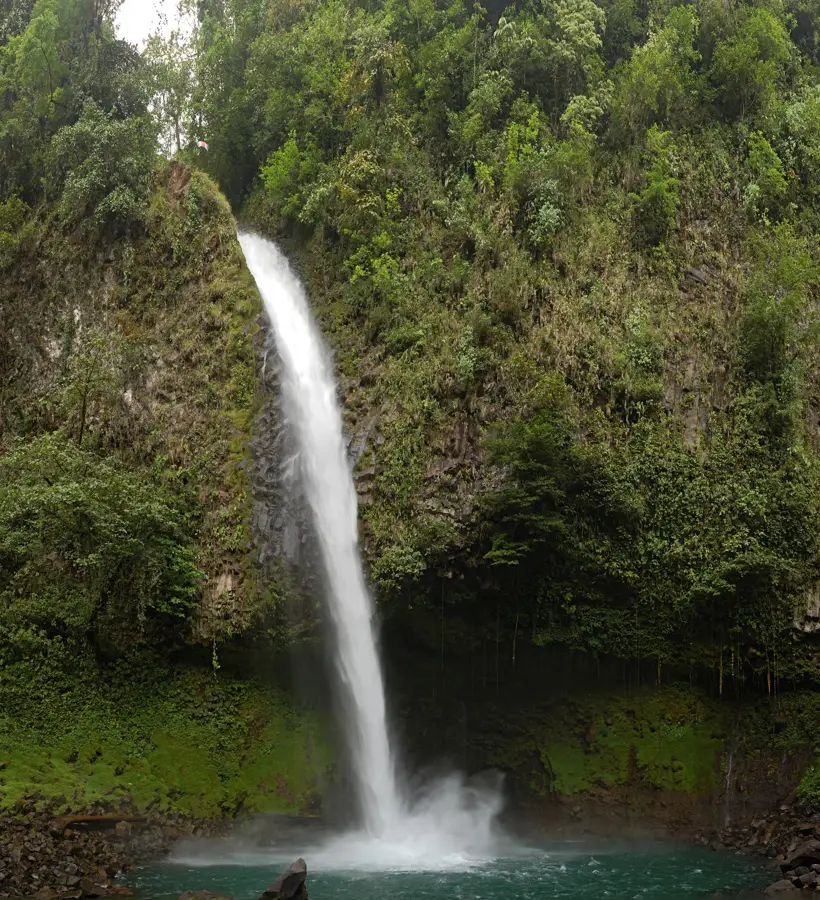
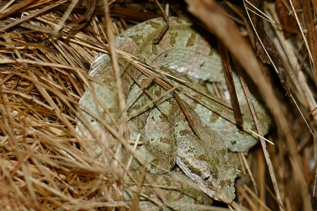
Nature
More places