Plizio Visual Lab
Indio Maíz Biological Reserve
Weather…
Water temperature…
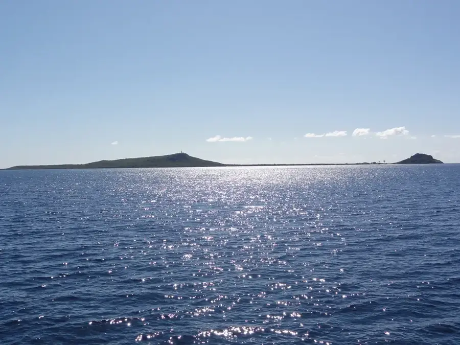
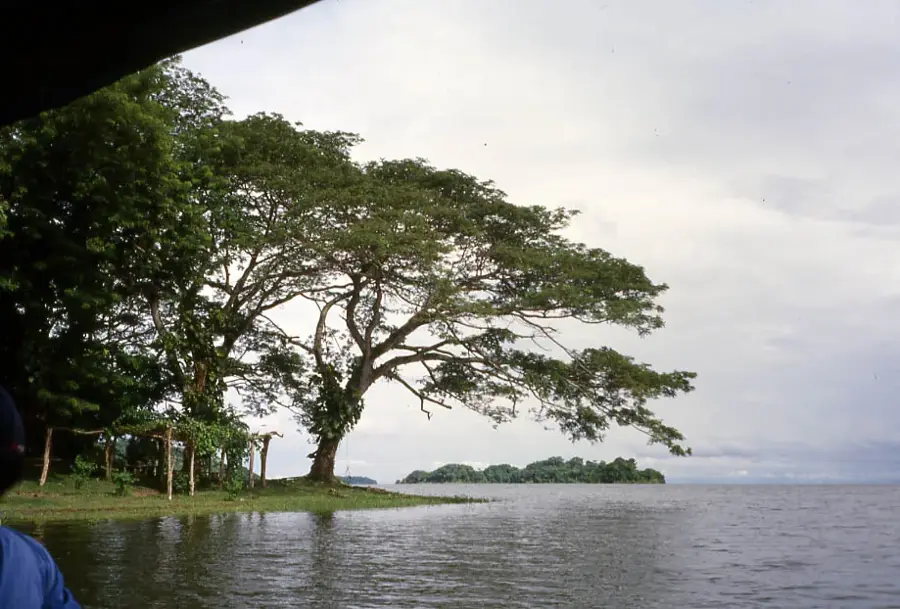
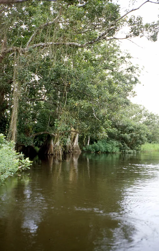
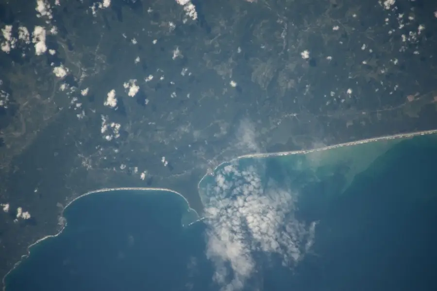
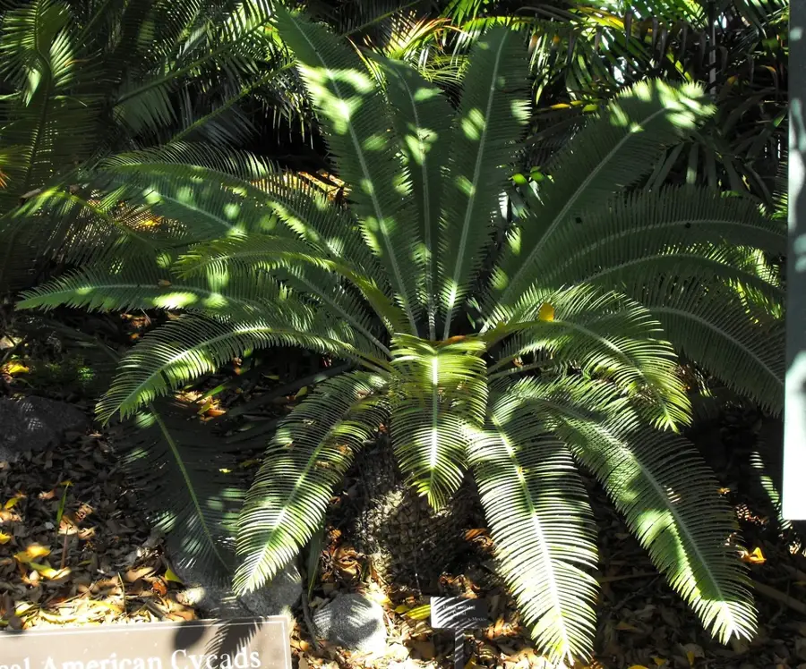
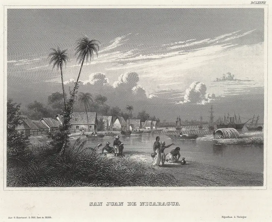
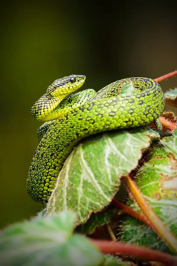
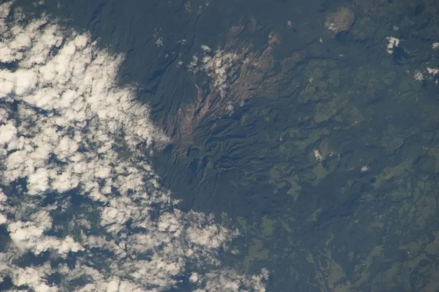
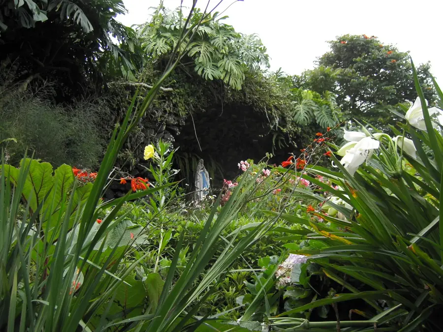
The Indio Maíz Biological Reserve is one of the best-preserved tropical rainforests in Central America, located in the southeastern corner of Nicaragua along the border with Costa Rica. Spanning approximately 2,639 square kilometers, the reserve is part of the Mesoamerican Biological Corridor and hosts an astounding biodiversity, including endangered species such as the jaguar, the Baird's tapir, and the harpy eagle. The territory is crisscrossed by numerous rivers, including the legendary San Juan River, which serves as a natural border and a historical transportation route. Culturally, Indio Maíz is the ancestral homeland of the Rama indigenous people, who hold communal land titles over a large portion of the reserve and actively participate in its protection against illegal settlers. In recent years, the reserve has become a symbol of environmental struggle in Nicaragua, especially after the devastating forest fires of 2018 that mobilized the international community. Modern management focuses on scientific research and ecological monitoring to prevent deforestation and poaching in this crown jewel of regional natural heritage.
- Location: Nicaragua
- Nearby: El Tortuguero (23 km)
Best time to visit & climate
The most pleasant time to visit is Jan–Mar.
| Jan | Feb | Mar | Apr | May | Jun | Jul | Aug | Sep | Oct | Nov | Dec | |
|---|---|---|---|---|---|---|---|---|---|---|---|---|
| Avg °C | 25 | 25 | 26 | 27 | 27 | 27 | 26 | 26 | 26 | 26 | 26 | 26 |
| Rain mm | 130 | 68 | 62 | 96 | 299 | 349 | 373 | 317 | 340 | 438 | 352 | 181 |
📋 Practical info
Geography
Facts
- The total area of the reserve is approximately 2,639 square kilometers.
- It was officially established as a state protected area in 1990.
- Over 65 species of mammals inhabit the dense rainforest.
- The San Juan River forms the southern boundary of the reserve.
- The area overlaps with the Rama-Kriol indigenous territory.
- Part of the UNESCO Southeast Nicaragua Biosphere Reserve since 2003.
Explore nearby
Notable places around
Route planner — Car & Motorhome
Where do you start? We build the route here, with stops and country notes along the way.
© OpenStreetMap contributors · OpenRouteService
Sights nearby
Frequently asked questions
Is the Indio-Maíz Reserve accessible to tourists?
What equipment is important for hiking?
What is the highlight of the reserve?
Are there accommodation options in the park?
What is the best time to visit?
Indio Maíz Biological Reserve: where is it located?
Indio Maíz Biological Reserve: when is the best time to visit?
Indio Maíz Biological Reserve: why is it worth visiting?

Nearby cities

History & landmarks
More places