Plizio Visual Lab
Bagaces
ℹ️Practical info — Bagaces
▾
🌤 Weather — 5 days
📍 Nearby
Sights nearby
💡 Tips
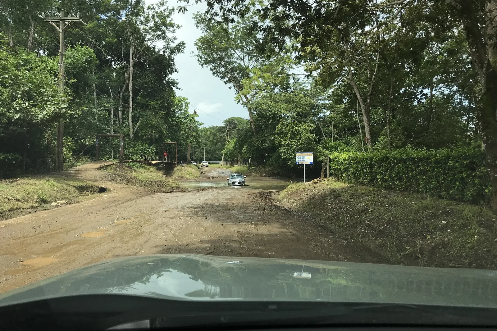
- Rent a 4x4 if you plan to visit the nearby waterfalls like Llanos de Cortés.
- The weather is dry and hot, especially from December to April, so stay well hydrated.
- Visit hot springs like Yökö or Miravalles in the early morning or late afternoon to avoid the intense midday heat.
- Mosquito repellent is a must, especially during the green season (May to November).
🍽 Food
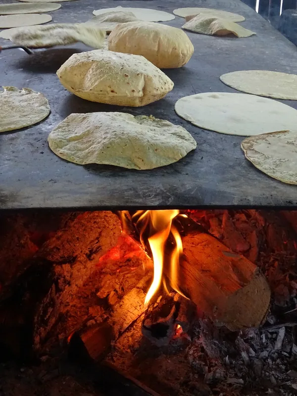
The traditional breakfast, best enjoyed at local sodas (small diners) around the town square.
A hearty lunch plate available at almost any local restaurant along the main road.
Find them freshly made and refreshing at the local market.
🛍 Shopping · 🧘 Quiet spots
Check out the agricultural stalls on weekends for fresh local products.
Buy authentic local beans in grocery stores or at the main market.
Visit early in the morning for a peaceful swim before the crowds arrive.
Relax on a bench under the large shade trees right in the center of town.
Water temperature…
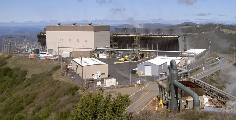
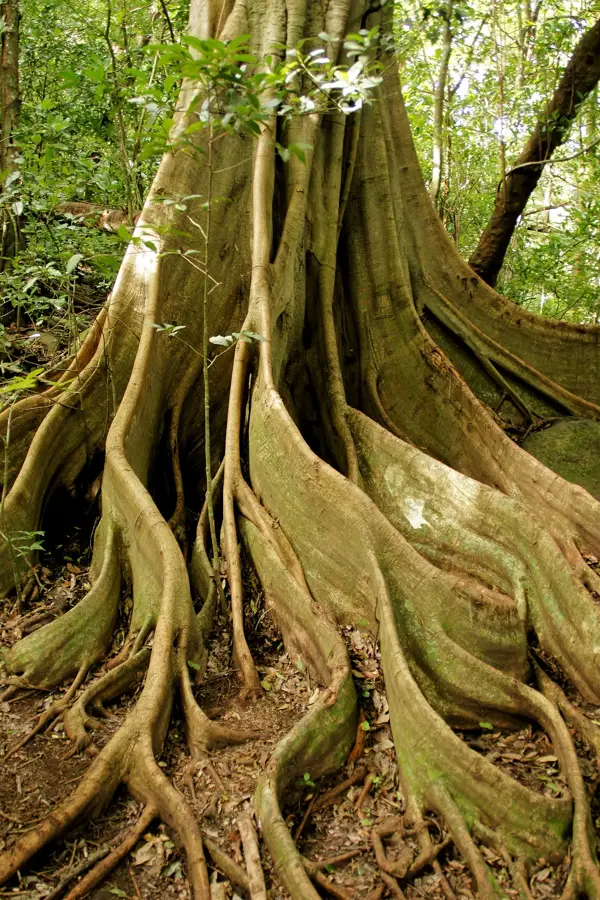
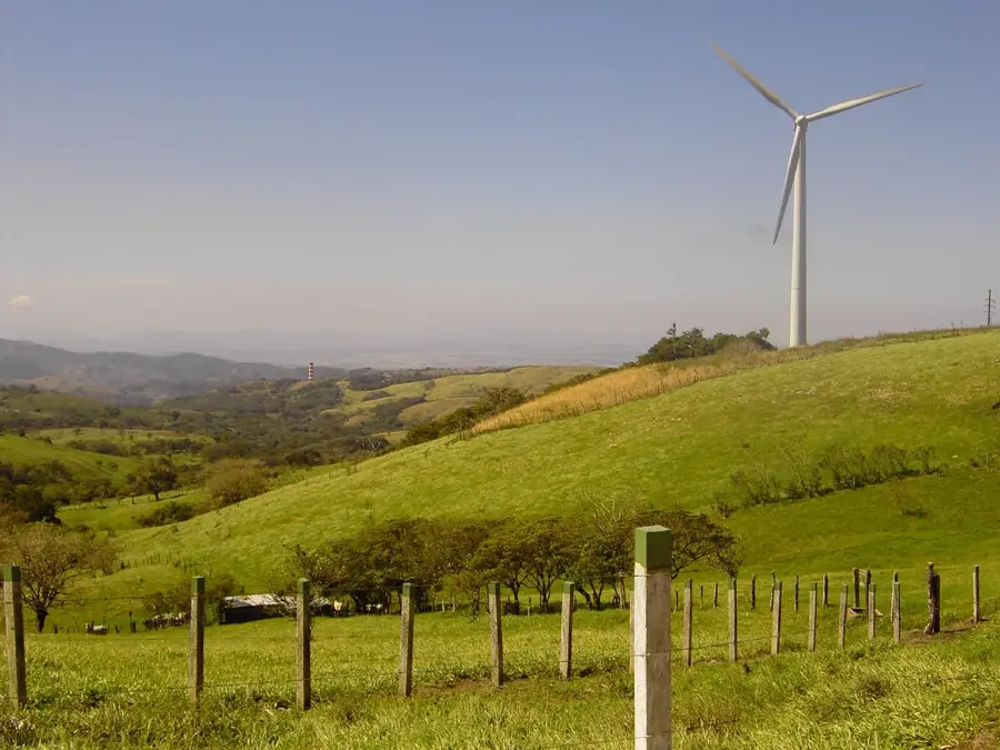
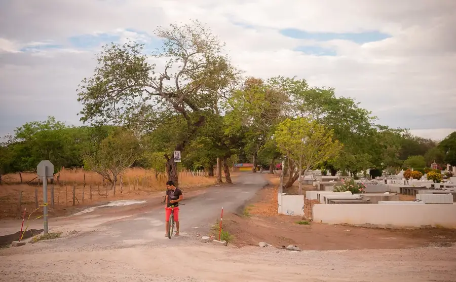
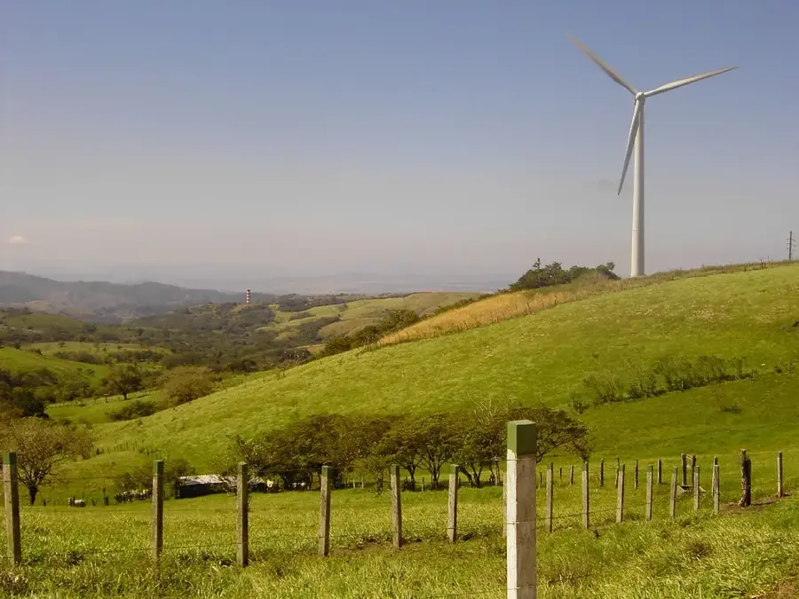
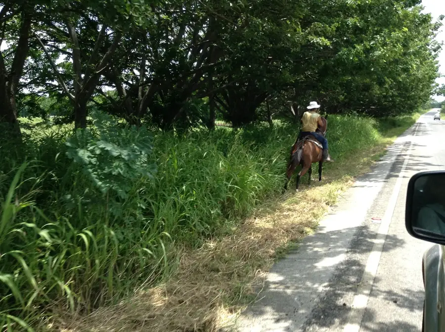
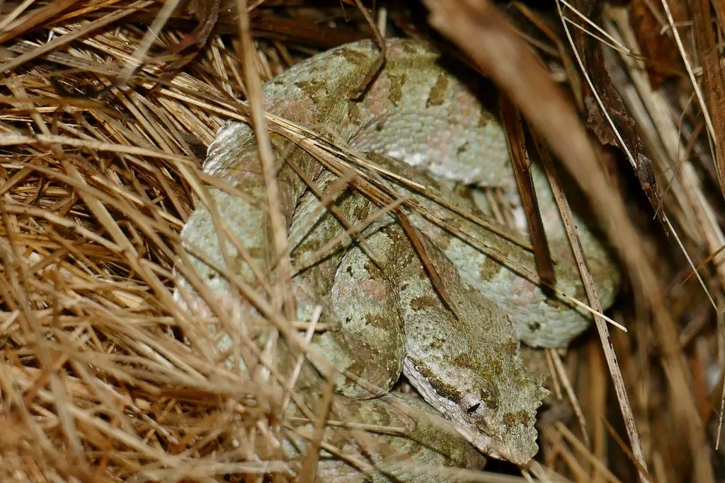
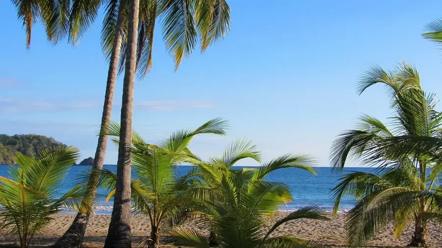
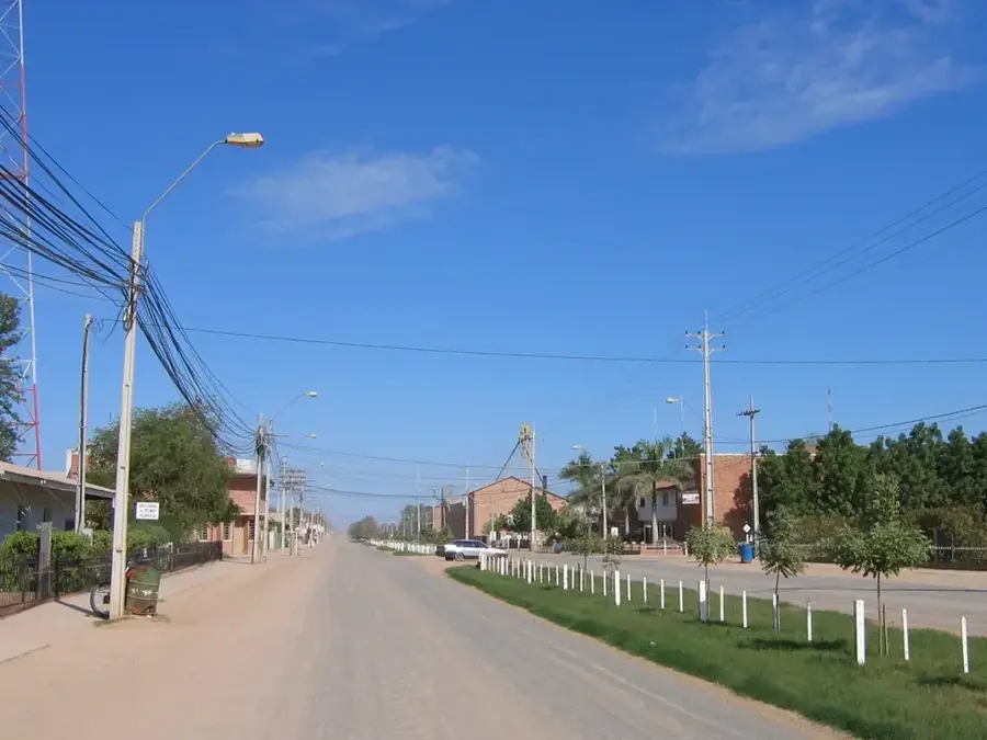
Bagaces is a historic town in the Guanacaste province of Costa Rica, often called the 'City of Waterfalls' due to its proximity to the memorable Llanos de Cortés. Set between the arid plains and the slopes of the Miravalles Volcano, the town serves as a gateway to some of the region's most diverse ecological zones. Its geography is defined by the dry tropical forest, which provides a unique habitat for local wildlife. Bagaces is also a center for geothermal energy production and traditional cattle ranching, maintaining a strong connection to its 'sabanero' roots. For travelers, it gives access to hidden hot springs and serves as a quiet base for exploring the volcanic landscapes and national parks that characterize the northern part of the country.
- Location: Costa Rica
- Nearby: Santa Teresa (11 km)
- Population: ~4.108 (2016)
Best time to visit & climate
The most pleasant time to visit is Jan, Feb, Dec.
| Jan | Feb | Mar | Apr | May | Jun | Jul | Aug | Sep | Oct | Nov | Dec | |
|---|---|---|---|---|---|---|---|---|---|---|---|---|
| Avg °C | 24 | 25 | 26 | 27 | 27 | 25 | 25 | 25 | 25 | 24 | 24 | 24 |
| Rain mm | 13 | 9 | 10 | 40 | 187 | 177 | 131 | 176 | 252 | 289 | 132 | 28 |
Geography
Facts
- City in Guanacaste province
- Along the Pan-American Highway
- Near Miravalles Volcano
- Linked to geothermal energy
- Historic cattle town
- Warm, dry climate
Explore nearby
Notable places around
Route planner — Car & Motorhome
Where do you start? We build the route here, with stops and country notes along the way.
© OpenStreetMap contributors · OpenRouteService
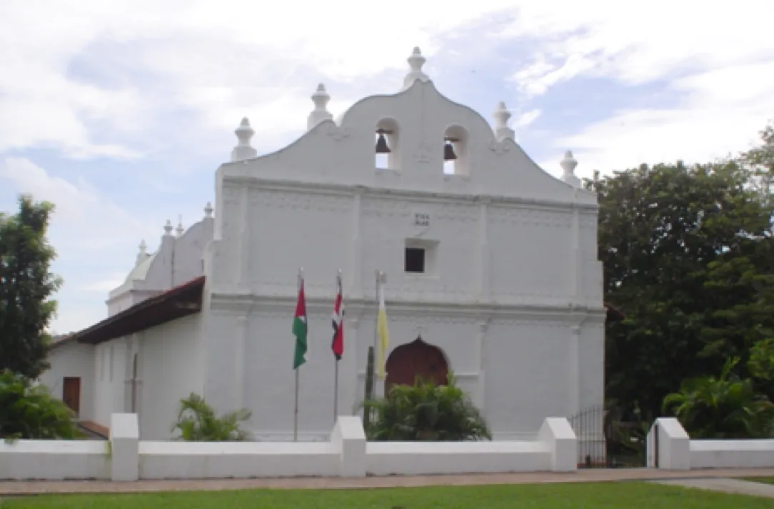
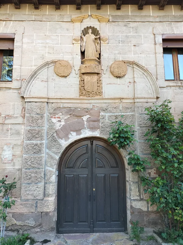
Sights in the town Bagaces (1)
Frequently asked questions
What is the main attraction of Bagaces?
Which volcano is nearby?
Can you see wildlife?
How is the weather in Bagaces?
What is rural tourism in Bagaces?
Bagaces: where is it located?
Bagaces: when is the best time to visit?
Bagaces: why is it worth visiting?

Nearby cities

History & landmarks
More places