Plizio Visual Lab
San Miguelito
ℹ️Practical info — San Miguelito
▾
🌤 Weather — 5 days
📍 Nearby
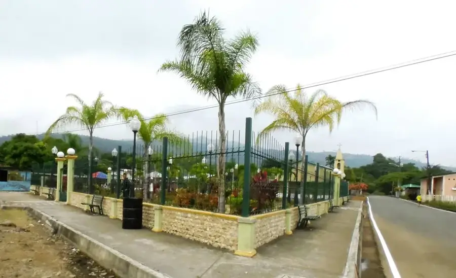
Sights nearby
💡 Tips
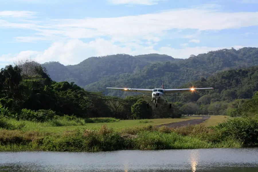
- Plan your boat transfers to Solentiname or San Carlos in advance, as they usually depart early in the morning.
- Apply mosquito repellent at dusk, as the lakeside location means insects are very active.
- Visit the pier in the late afternoon to catch the spectacular sunset over Lake Nicaragua.
- Carry enough cash in Cordobas, as ATM availability in the town is very limited.
🍽 Food
Freshly caught lake bass with garlic, served at the restaurants along the waterfront.
Raw fish marinated in lime juice, a refreshing snack found near the pier.
Whole fried mojarra, a local staple best enjoyed in the small comedores near the market.
🛍 Shopping · 🧘 Quiet spots
Watch the morning hustle as fishermen sell their catch directly on the shore.
Look in local shops for brightly painted wooden carvings originating from the nearby islands.
A relaxing walk along the waterfront promenade has peace and a steady breeze from the lake.
Walk the paths leading inland to see the peaceful Nicaraguan countryside and farmland.
Water temperature…
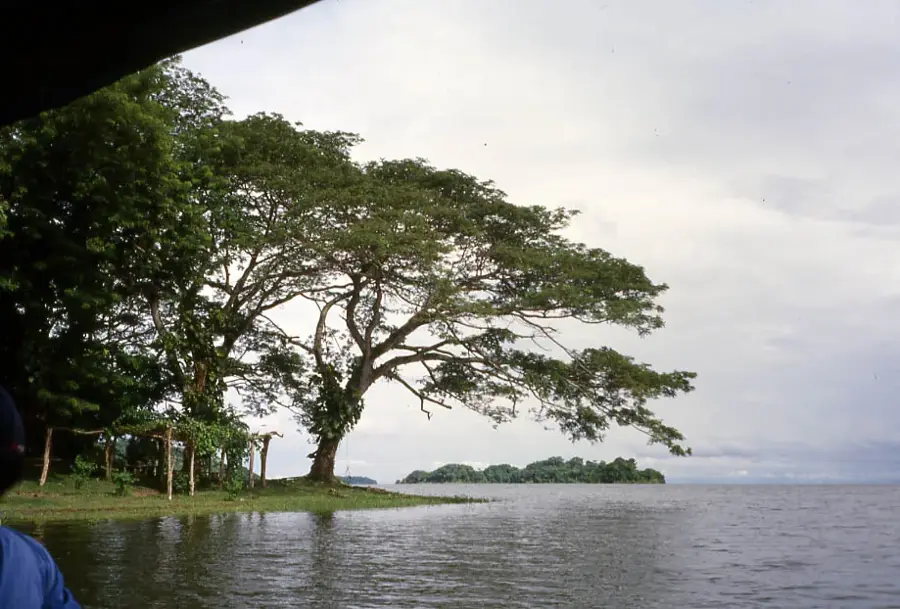
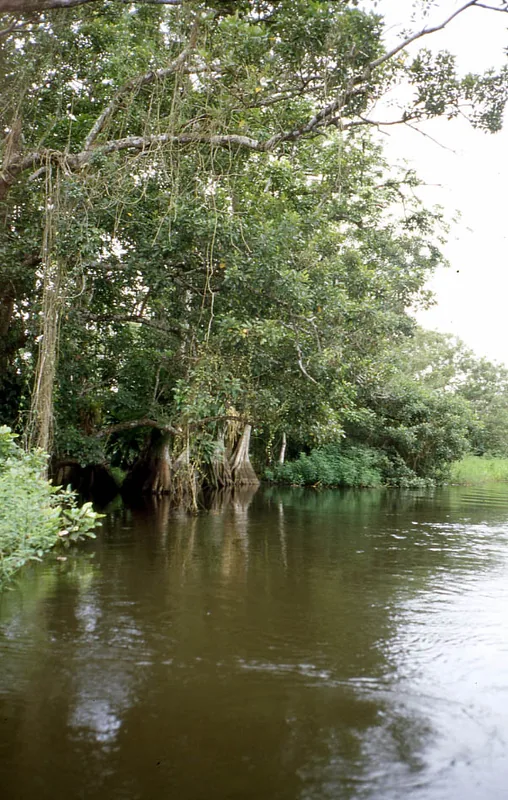
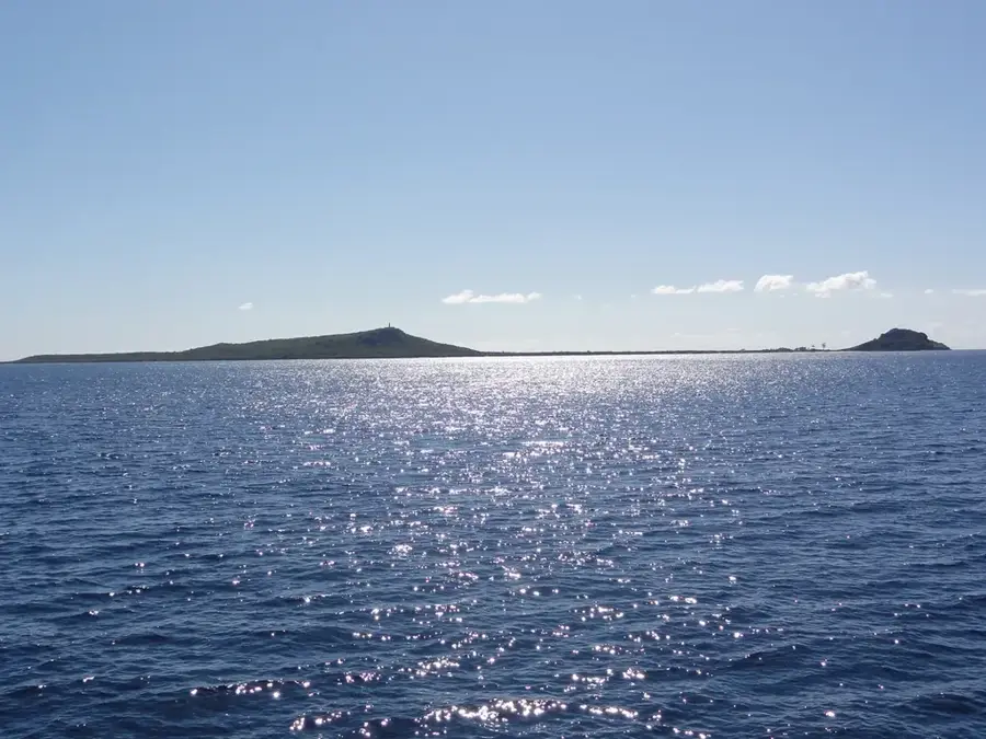
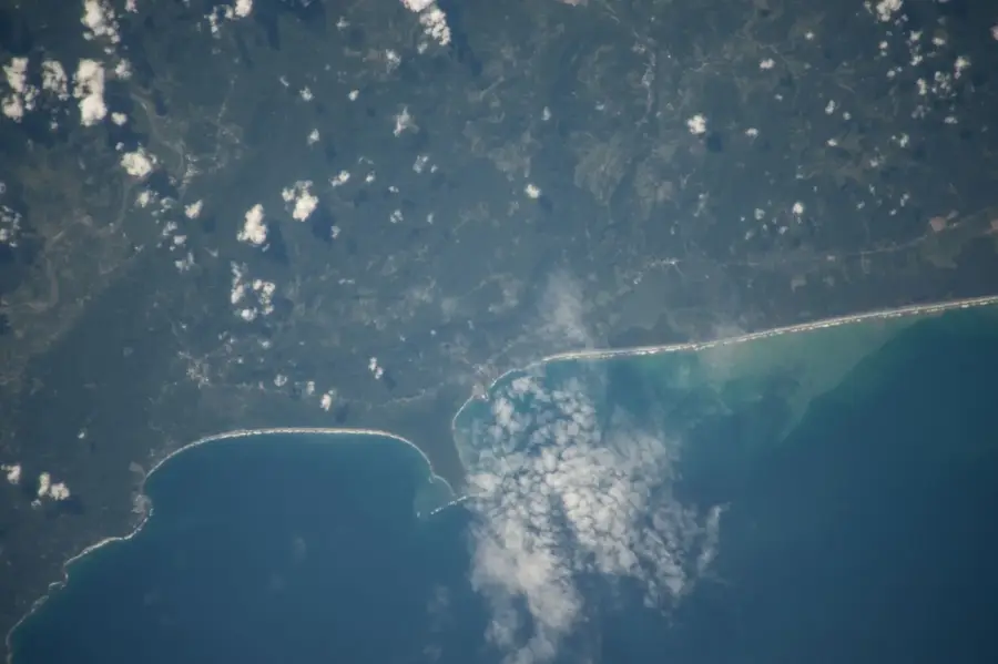
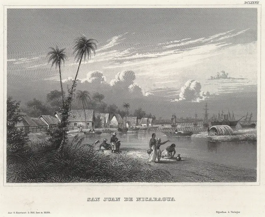
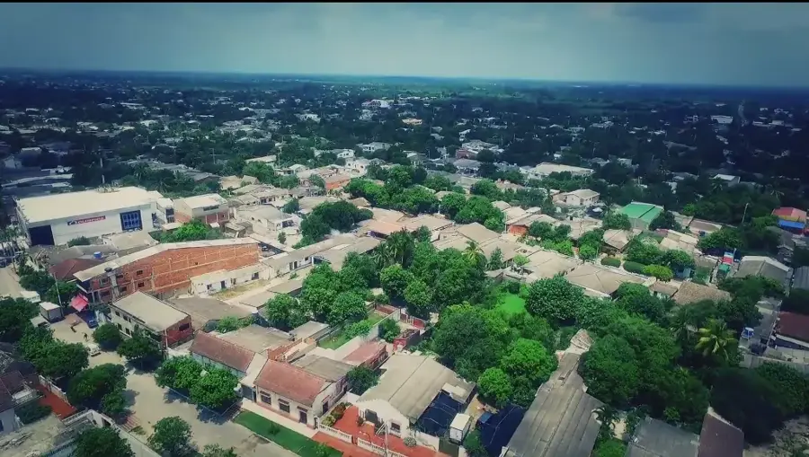
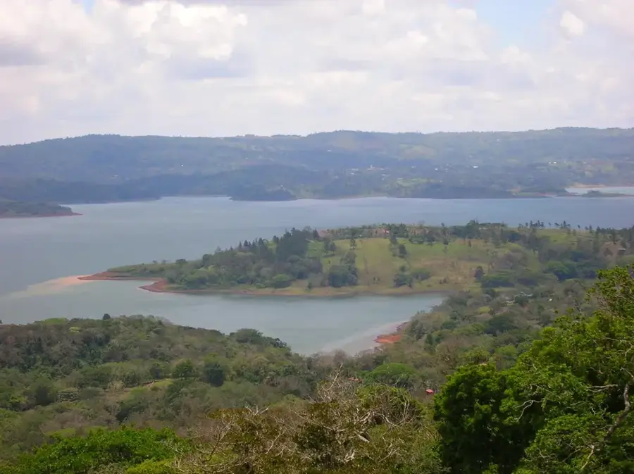
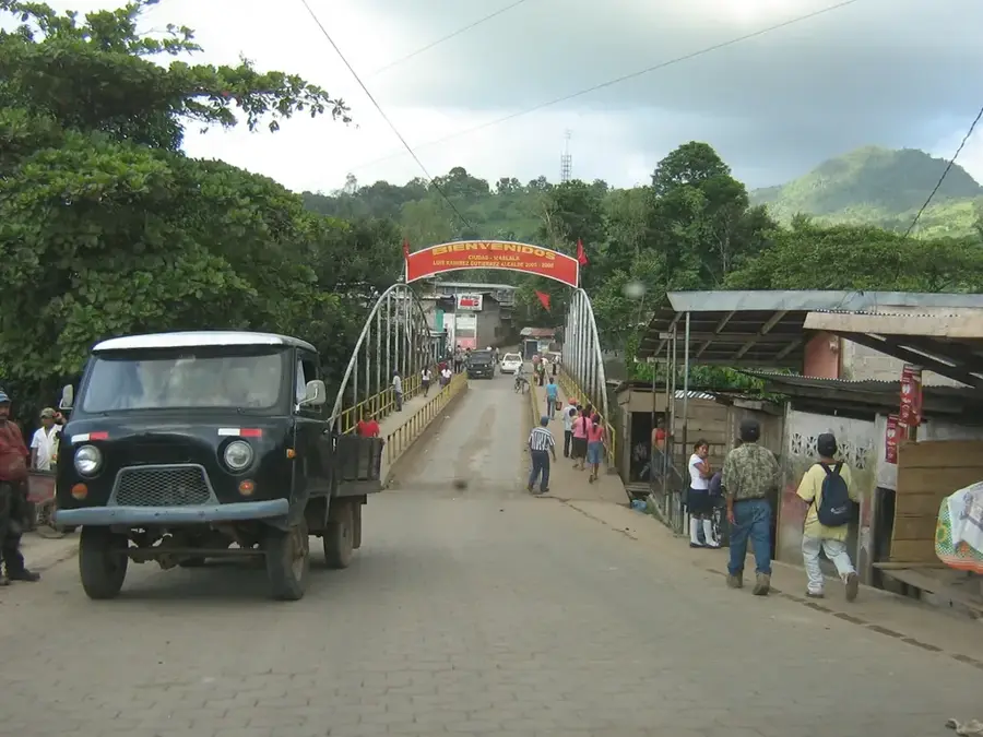
San Miguelito is a significant port city situated on the southeastern shores of Lake Nicaragua, within the Río San Juan Department. The settlement has a long history, serving as a vital link for maritime trade and navigation on the Great Lake since the colonial era. Geographically, it occupies a transition zone between dense tropical rainforests and agricultural plains, located about 190 kilometers from Managua. The local economy is primarily centered on fishing, cattle ranching, and rice cultivation, leveraging the abundant natural resources of the lakeside environment. During the 19th century, San Miguelito thrived as a key export hub for natural rubber and mahogany, which were highly valued on the international market. Its harbor remains a crucial stop for ferry services connecting San Carlos and Granada, as well as a gateway for travelers heading to the Solentiname Islands. The humid tropical climate supports a lush landscape, making the town an emerging destination for eco-tourism and nature observation in the San Juan River basin.
- Location: Nicaragua
- Nearby: Villa Sandino (12 km)
- Population: ~4.181 (2026)
Best time to visit & climate
The most pleasant time to visit is Jan, Feb, Dec.
| Jan | Feb | Mar | Apr | May | Jun | Jul | Aug | Sep | Oct | Nov | Dec | |
|---|---|---|---|---|---|---|---|---|---|---|---|---|
| Avg °C | 26 | 27 | 28 | 29 | 29 | 27 | 27 | 27 | 27 | 27 | 26 | 26 |
| Rain mm | 14 | 8 | 9 | 32 | 183 | 179 | 132 | 177 | 260 | 300 | 131 | 23 |
Geography
Facts
- The town is located on the southeastern shore of Lake Nicaragua.
- It serves as a major port within the Río San Juan Department.
- San Miguelito is situated about 190 kilometers from Managua.
- It was a prominent hub for rubber and timber exports in the 1800s.
- The port is a key logistical stop for the lake ferry service.
- Fishing and rice farming are the primary economic activities today.
Explore nearby
Notable places around
Route planner — Car & Motorhome
Where do you start? We build the route here, with stops and country notes along the way.
© OpenStreetMap contributors · OpenRouteService
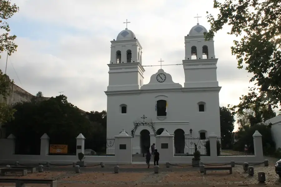
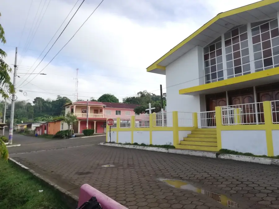
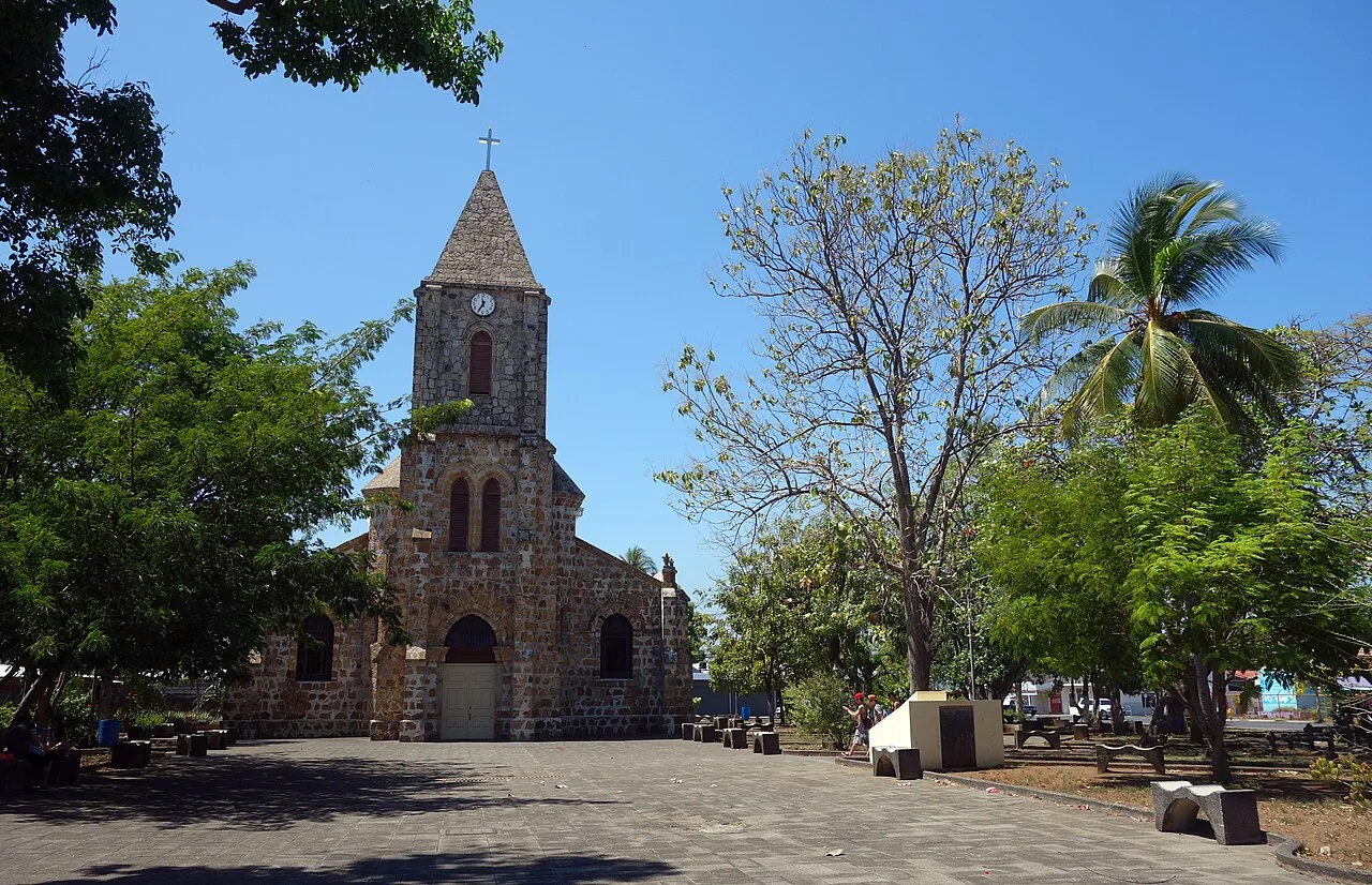
Sights in the town San Miguelito (1)
Frequently asked questions
Where is San Miguelito located?
What is the main feature?
Is fishing possible?
How to get there?
What is the atmosphere like?
San Miguelito: where is it located?
San Miguelito: when is the best time to visit?
San Miguelito: why is it worth visiting?

Nearby cities

History & landmarks
Nature

More places