Plizio Visual Lab
Tuma River
Weather…
Water temperature…
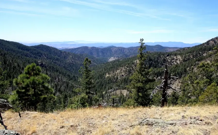
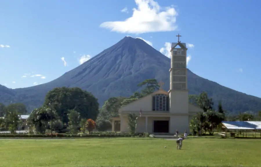
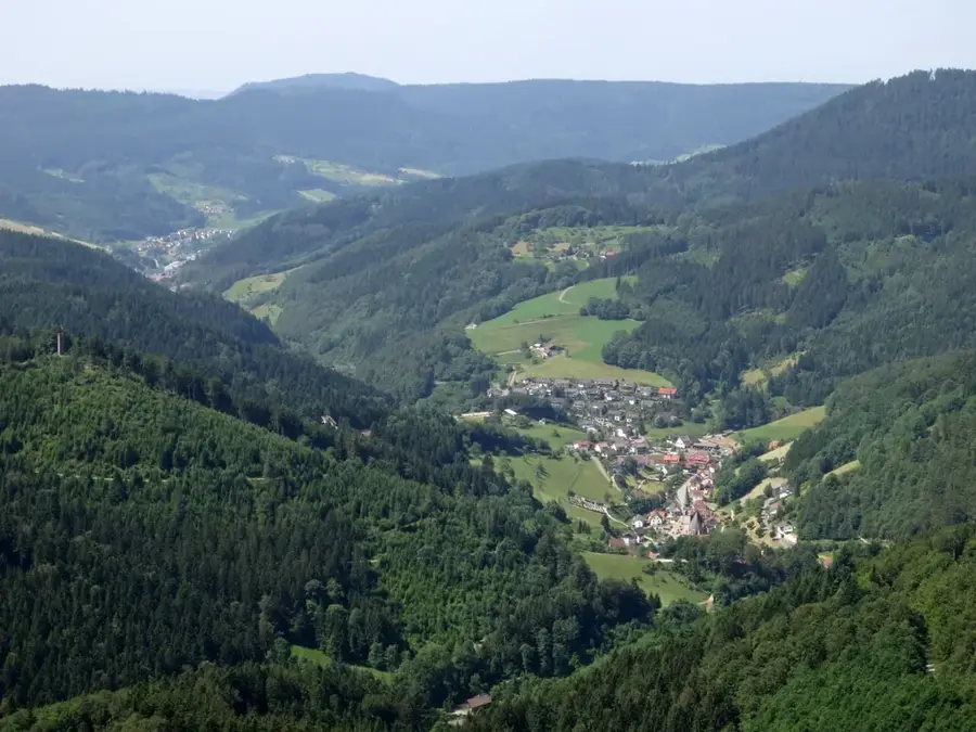
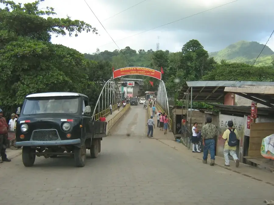
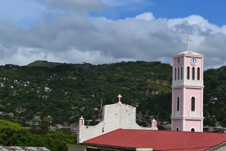
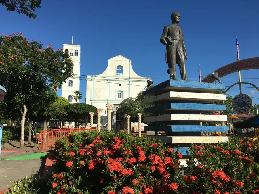
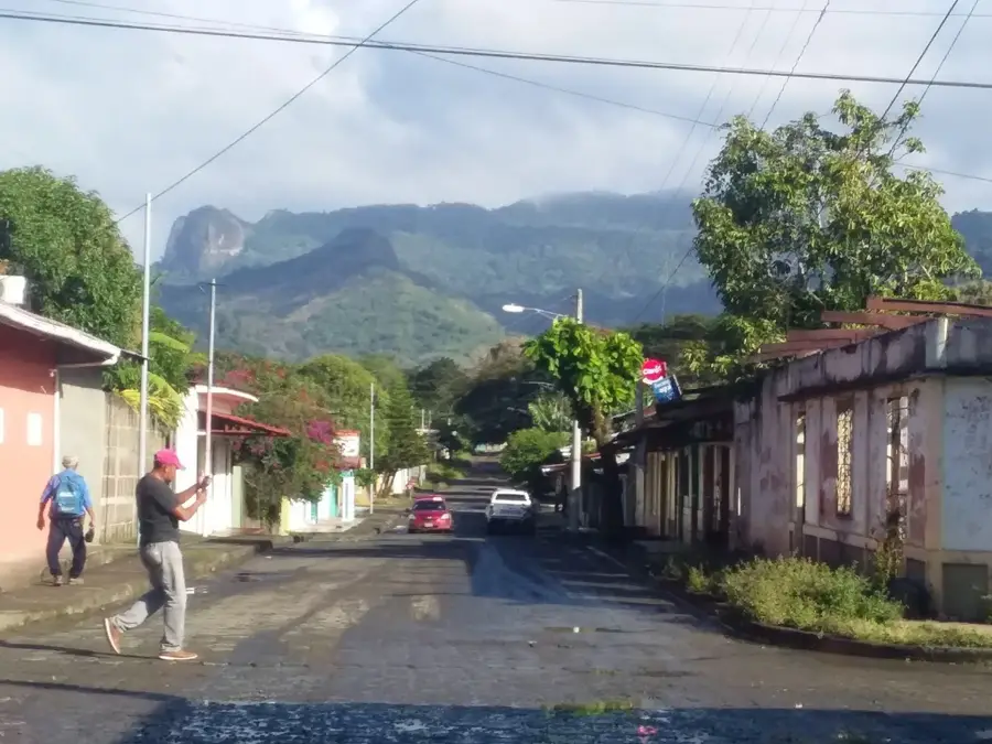
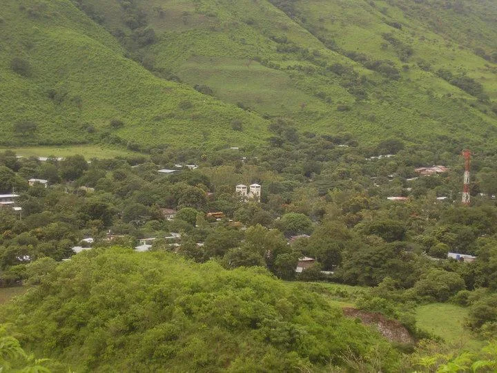
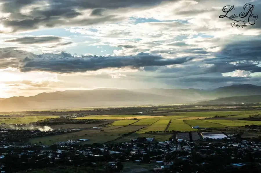
The Tuma River is one of the main tributaries of the Río Grande de Matagalpa, flowing through the central highlands of Nicaragua, primarily in the departments of Jinotega and Matagalpa. This waterway plays a fundamental role in the country's energy economy, as its waters were dammed in 1964 to create the artificial Apanás Lake, Nicaragua's first and most significant source of hydroelectric power. The landscape surrounding the river is characterized by deep valleys and mountains covered with cloud forests and high-quality coffee plantations, which thrive in the cool and humid climate of the area. Historically, the Tuma River basin was inhabited by indigenous populations who used the river as a transportation route and food source long before Spanish colonization. Today, the river is essential not only for electricity production at the Centroamérica hydroelectric plant but also for irrigating agricultural crops and supporting local biodiversity. Monitoring water quality and controlling soil erosion are major modern challenges to ensure the sustainability of this vital ecosystem, which remains a pillar of Nicaraguan rural development.
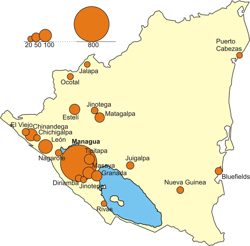
- Location: Nicaragua
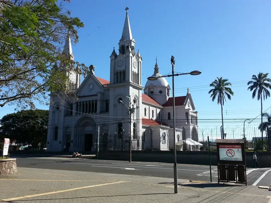
- Top sights: Nicaragua · United States occupation of Nicaragua
- Nearby: Villa Sandino (9 km)
Best time to visit & climate
The most pleasant time to visit is Jan, Feb, Dec.
| Jan | Feb | Mar | Apr | May | Jun | Jul | Aug | Sep | Oct | Nov | Dec | |
|---|---|---|---|---|---|---|---|---|---|---|---|---|
| Avg °C | 24 | 25 | 27 | 29 | 28 | 26 | 26 | 26 | 26 | 25 | 24 | 24 |
| Rain mm | 24 | 17 | 15 | 26 | 145 | 180 | 136 | 146 | 201 | 224 | 86 | 34 |
📋 Practical info
Geography
Facts
- Apanás Lake was created in 1964 by damming the Tuma River.
- The river has a total length of approximately 180 kilometers.
- The Centroamérica hydroelectric plant is a key power source for the country.
- The Tuma is a major tributary of the Río Grande de Matagalpa.
- The drainage basin is located in the rainy Jinotega department.
- Annual rainfall in the region can reach up to 4,000 mm.
Explore nearby
Notable places around
Route planner — Car & Motorhome
Where do you start? We build the route here, with stops and country notes along the way.
© OpenStreetMap contributors · OpenRouteService
Sights in the town Tuma River (2)
Sights nearby
Frequently asked questions
Is the Río Tuma suitable for water sports?
What is the accessibility of the river?
Are there camping options on the shore?
What is the best season to visit?
Do you need a permit?
Tuma River: where is it located?
Tuma River: what is there to see?
Tuma River: when is the best time to visit?
Tuma River: why is it worth visiting?

Nearby cities


History & landmarks
Nature
More places