Plizio Visual Lab
Devil's Mountain Range
Weather…
Water temperature…
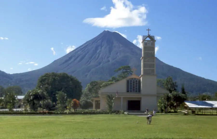
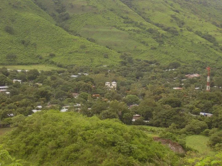
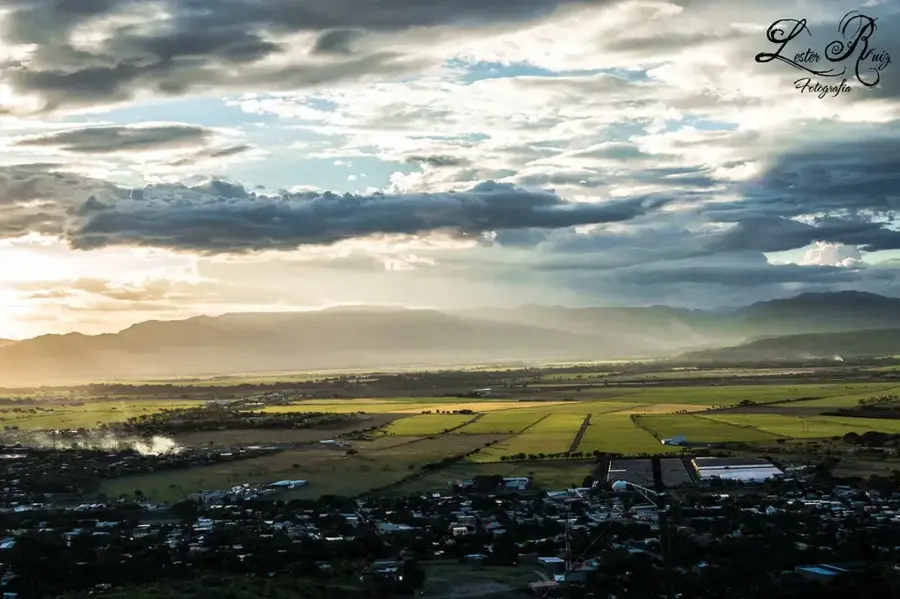
The Sierra del Diablo is a rugged mountain range in northern Nicaragua, primarily located in the Jinotega department and forming a major part of the Datanlí-El Diablo Nature Reserve. The range reaches elevations exceeding 1,500 meters and is distinguished by its steep slopes and dense primary forests. Geologically, it consists of Tertiary volcanic formations that have been shaped into their dramatic contemporary form through millennia of intense erosion. Historically, the mountains served as a natural defensive wall and a sanctuary for guerrilla forces during the colonial era and subsequent civil conflicts. The Sierra plays a critical role as a watershed, feeding numerous streams that are indispensable for local agriculture, particularly for high-quality shade-grown coffee. The flora includes rare ferns and bromeliads, while the fauna is characterized by howler monkeys and rare raptors. Today, the preservation of this range is central to maintaining Nicaragua's national biodiversity.
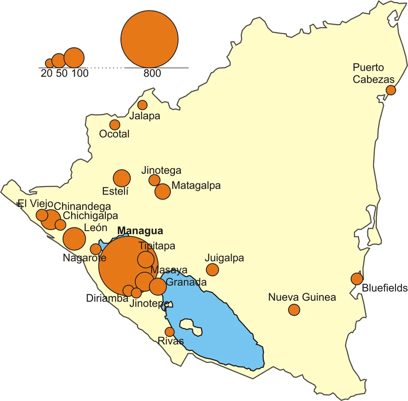
- Location: Nicaragua
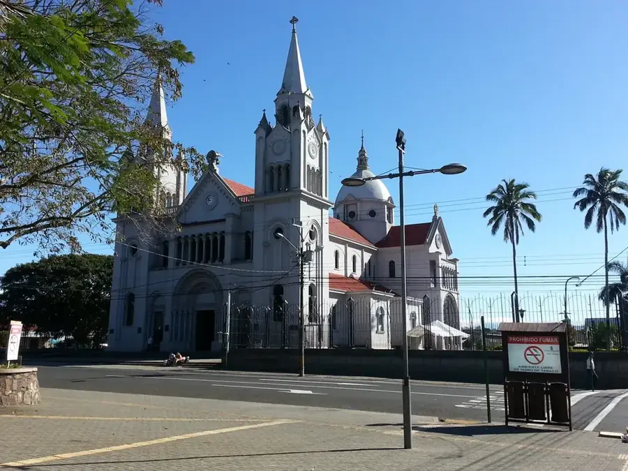
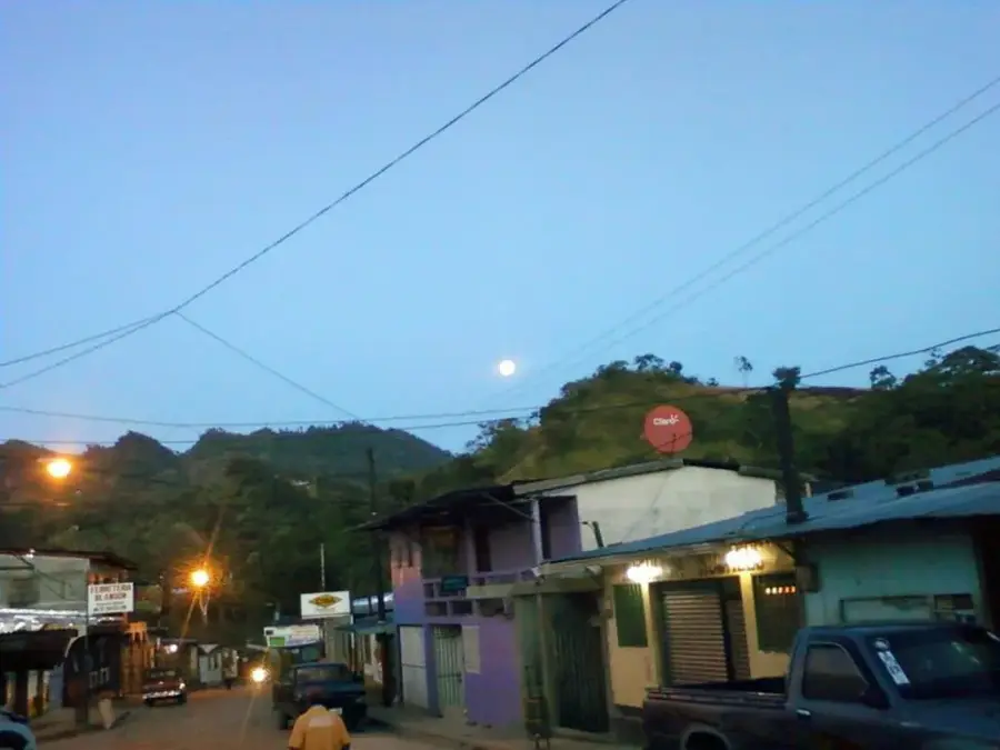
- Nearby: Rancho Grande (7 km)
Best time to visit & climate
The most pleasant time to visit is Jan, Feb, Dec.
| Jan | Feb | Mar | Apr | May | Jun | Jul | Aug | Sep | Oct | Nov | Dec | |
|---|---|---|---|---|---|---|---|---|---|---|---|---|
| Avg °C | 23 | 24 | 25 | 26 | 26 | 24 | 24 | 24 | 24 | 23 | 23 | 22 |
| Rain mm | 8 | 7 | 10 | 30 | 166 | 196 | 112 | 139 | 235 | 225 | 49 | 18 |
📋 Practical info
Geography
Facts
- Highest peaks: Above 1,500 meters
- Conservation status: Part of Datanlí-El Diablo Reserve
- Primary economy: Shade-grown coffee production
- Geology: Tertiary volcanic formations
- Significance: Major regional watershed
- Biodiversity: Habitat for howler monkeys
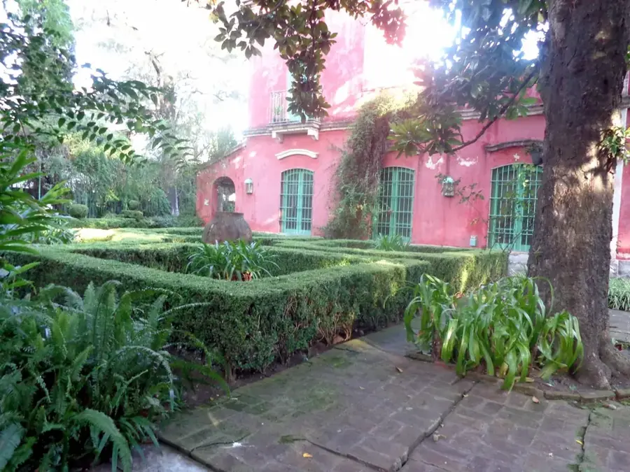
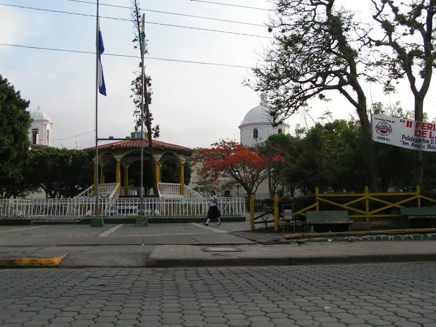
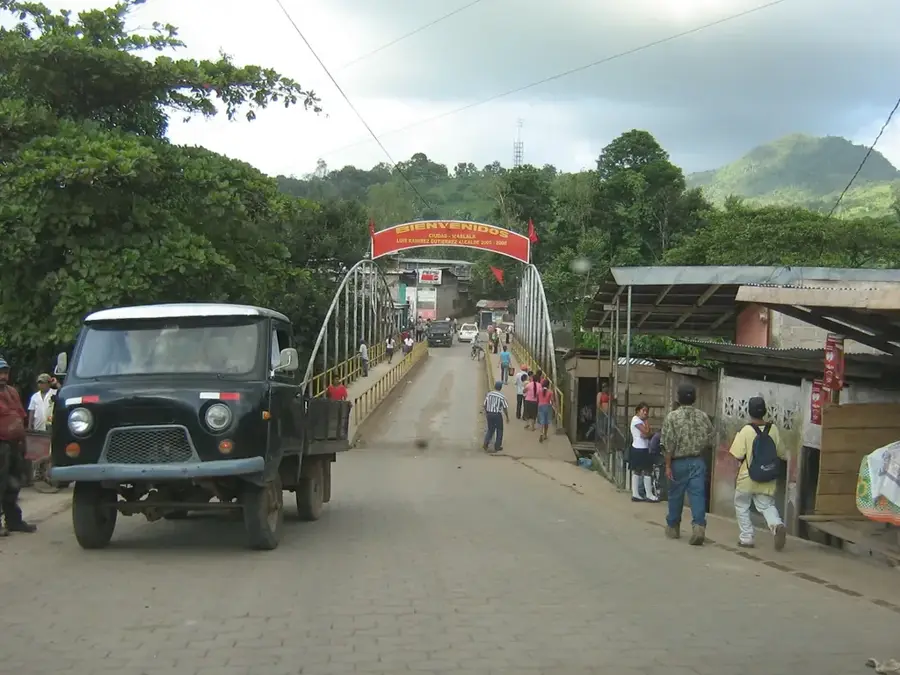
Explore nearby
Notable places around
Route planner — Car & Motorhome
Where do you start? We build the route here, with stops and country notes along the way.
© OpenStreetMap contributors · OpenRouteService
Sights nearby
Frequently asked questions
What is the difficulty level?
Are there marked paths?
Is it safe?
What is the best gear?
Are there water sources?
Devil's Mountain Range: where is it located?
Devil's Mountain Range: when is the best time to visit?
Devil's Mountain Range: why is it worth visiting?

Nearby cities


History & landmarks
Nature
More places