Plizio Visual Lab
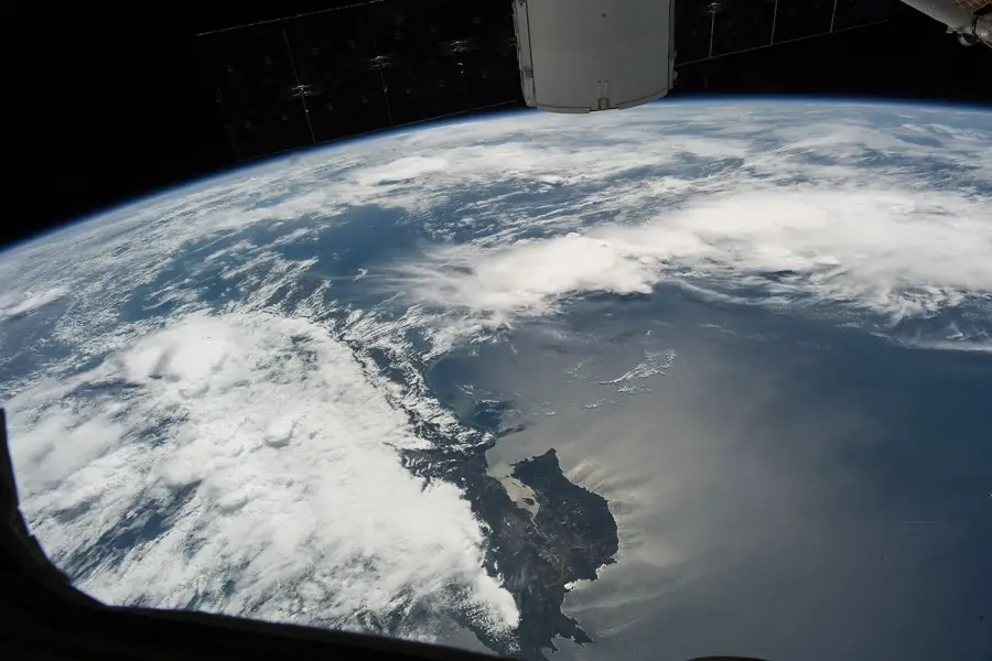
Pico Bonito Range
Weather…
Water temperature…
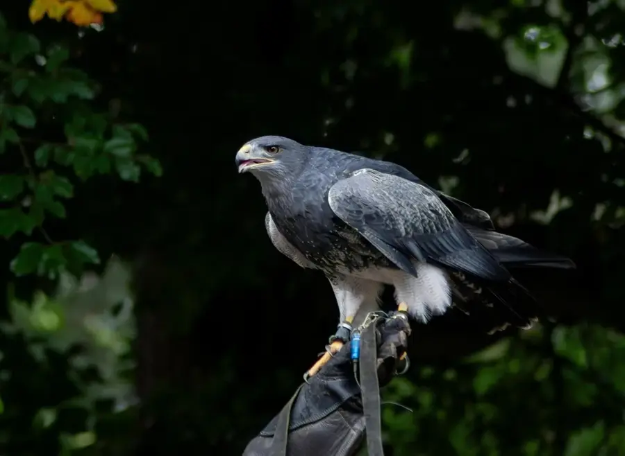
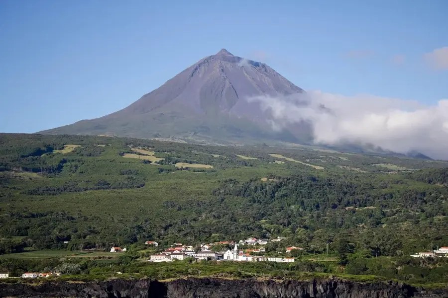
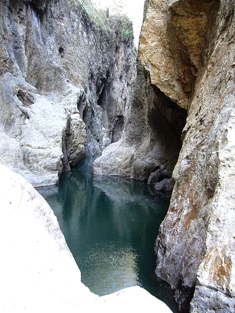
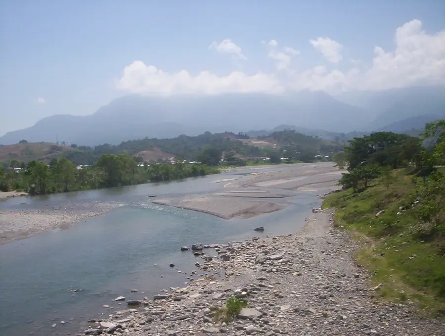
Pico Bonito is one of the most iconic natural landmarks in Honduras, serving as the centerpiece of the eponymous national park within the Cordillera Nombre de Dios range. Rising to an impressive elevation of 2,435 meters, the peak dramatically overlooks the coastal plains of La Ceiba. The park spans 564 square kilometers and hosts incredible biodiversity, including jaguars, pumas, and over 400 species of birds. Geographically, it is a vital segment of the Mesoamerican Biological Corridor. Visitors are drawn to its steep cliffs, spectacular waterfalls like the Bejuco Falls, and dense cloud forests. The area is crucial for protecting local watersheds and provides numerous opportunities for eco-tourism, such as whitewater rafting on the Cangrejal River. History: The park was established on January 1, 1987, to ensure the long-term protection of the region's unique flora and fauna.
- Location: Honduras
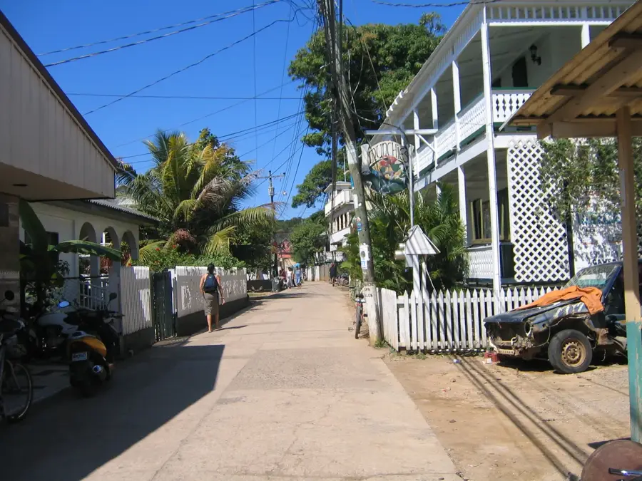
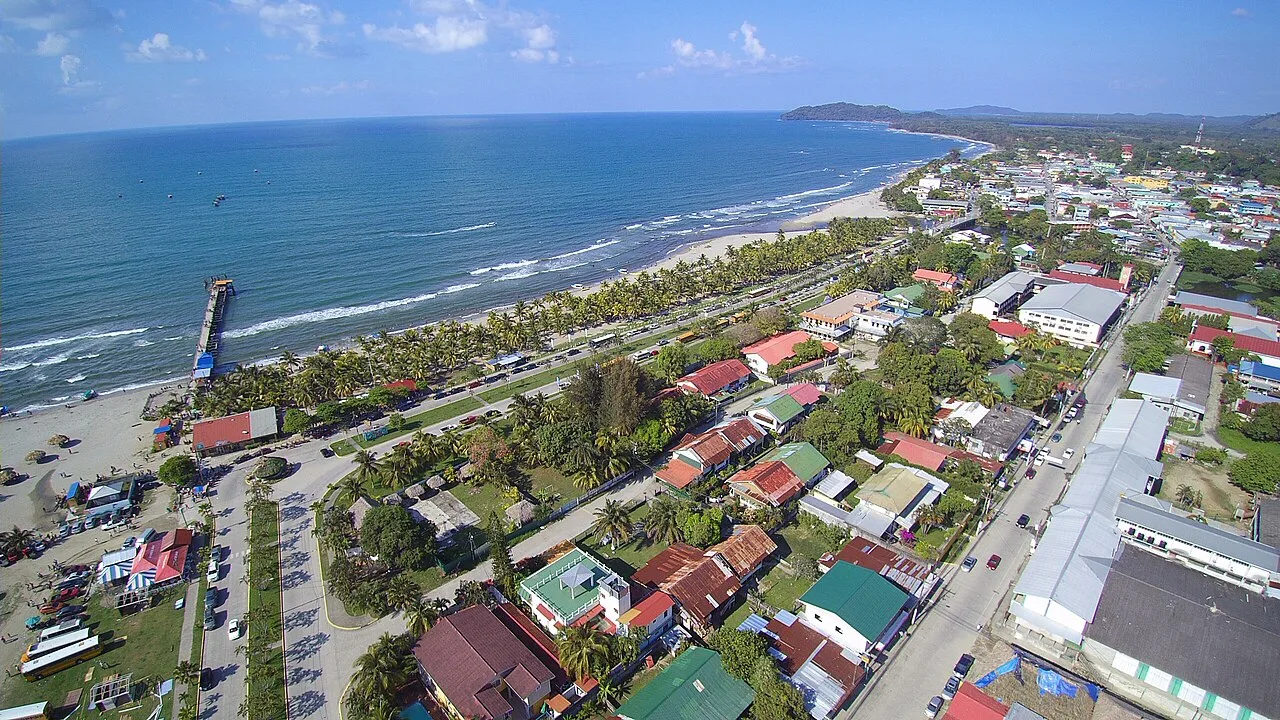
- Nearby: Utila (5 km)
Best time to visit & climate
The most pleasant time to visit is Feb–Apr.
| Jan | Feb | Mar | Apr | May | Jun | Jul | Aug | Sep | Oct | Nov | Dec | |
|---|---|---|---|---|---|---|---|---|---|---|---|---|
| Avg °C | 21 | 22 | 23 | 25 | 26 | 25 | 25 | 25 | 25 | 24 | 22 | 21 |
| Rain mm | 164 | 100 | 78 | 46 | 94 | 139 | 121 | 128 | 150 | 238 | 249 | 172 |
📋 Practical info
Geography
Facts
- Highest point reaches 2,435 meters above sea level.
- National Park was established on January 1, 1987.
- Home to an estimated jaguar population of 20-50 individuals.
- The Cangrejal River offers world-class whitewater rafting.
- Contains over 400 documented bird species.
- Crucial part of the Mesoamerican Biological Corridor.
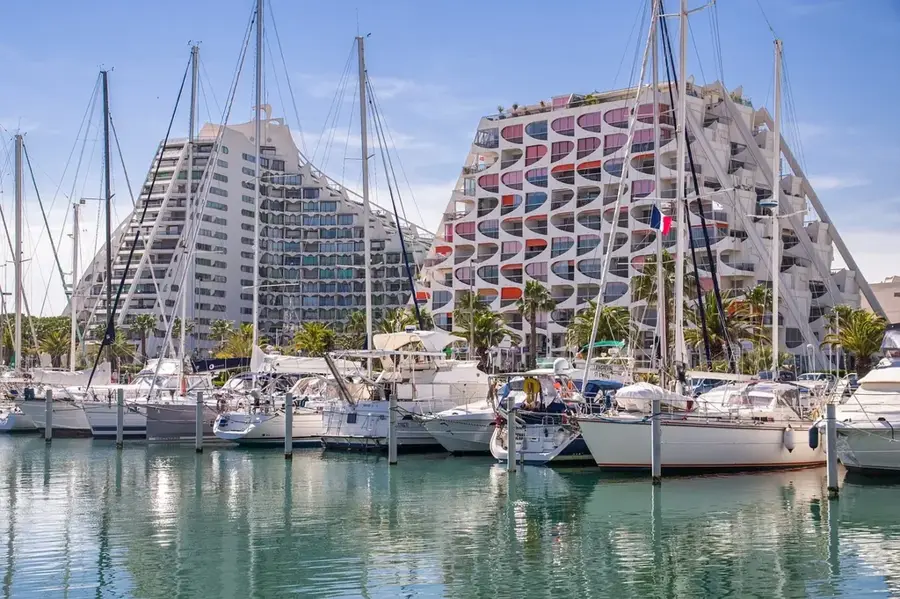
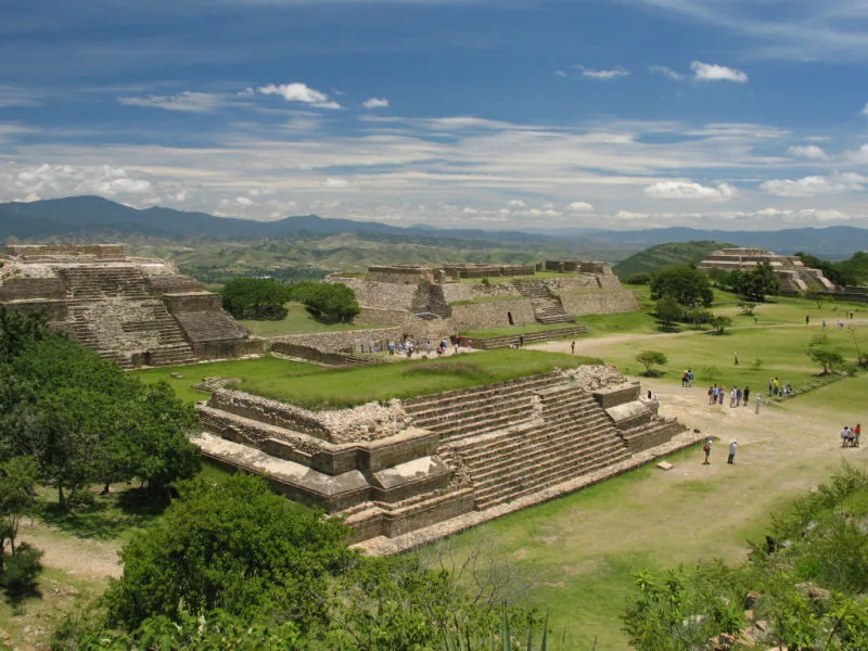
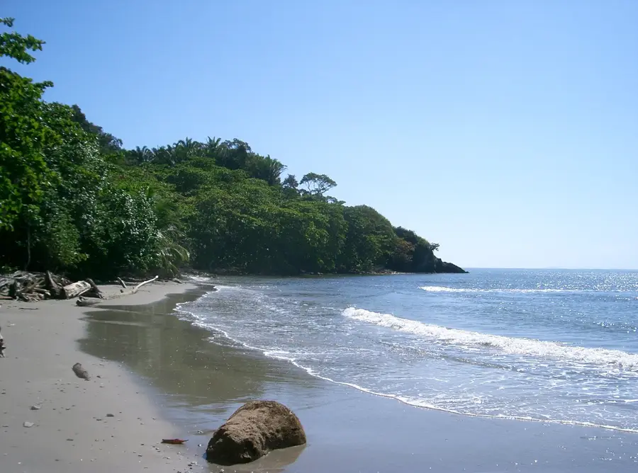
Explore nearby
Notable places around
Route planner — Car & Motorhome
Where do you start? We build the route here, with stops and country notes along the way.
© OpenStreetMap contributors · OpenRouteService
Sights nearby
Frequently asked questions
How high is the highest peak in Pico Bonito?
Is the mountain range suitable for beginners?
What flora awaits me here?
Are there waterfalls in the mountains?
Can you camp there?
Pico Bonito Range: where is it located?
Pico Bonito Range: when is the best time to visit?
Pico Bonito Range: why is it worth visiting?

Nearby cities
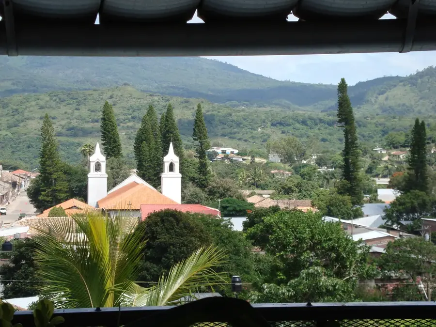
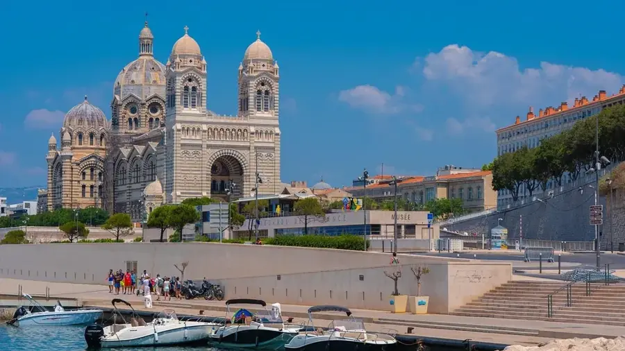
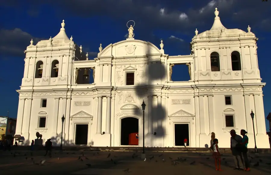
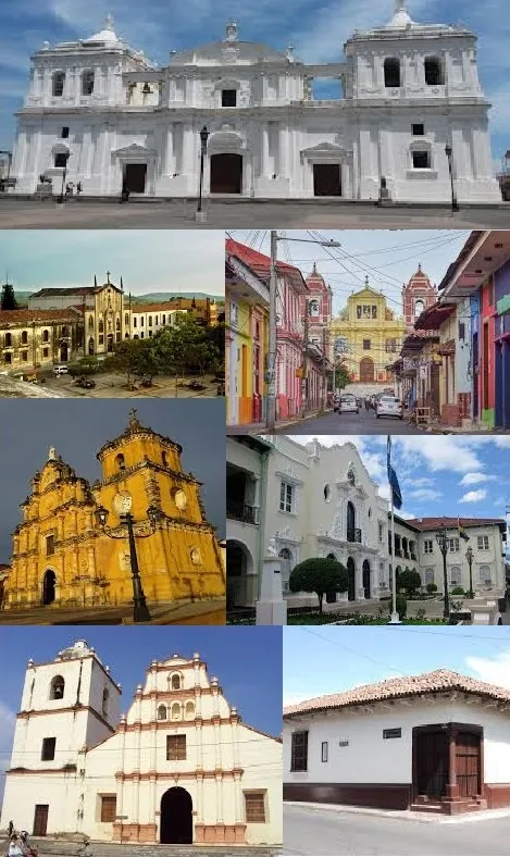
History & landmarks
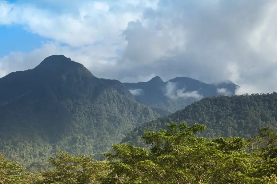
Nature
More places