Plizio Visual Lab
Cerro El Carbón

Weather…
Water temperature…
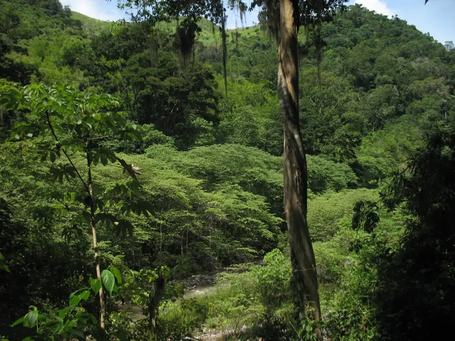
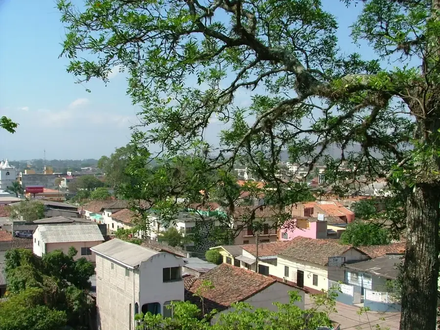
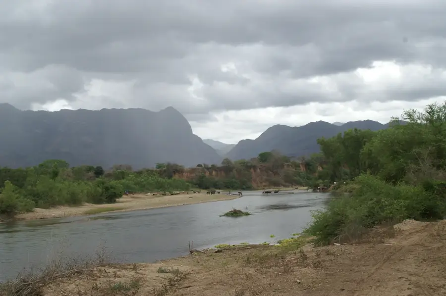
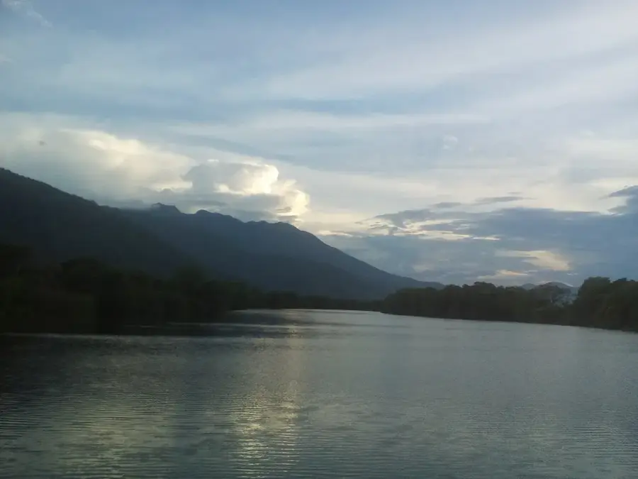
Cerro El Carbón is located in the Olancho department and is a significant peak within the rugged mountain landscapes of eastern Honduras. The mountain is known for its dense pine forests and ecological transition zones that lead into lush tropical rainforests. The surrounding area is home to the indigenous Pech people, who maintain a profound cultural and spiritual connection to the land and its resources. Steep slopes and deep ravines define the terrain, a ruggedness that has historically limited development and helped preserve its wild state. Cerro El Carbón serves as a crucial watershed for local streams that eventually feed into the Sico River. For hikers, the mountain has a stark, natural beauty and a window into the traditional lifestyles of rural Olancho.
- Location: Honduras
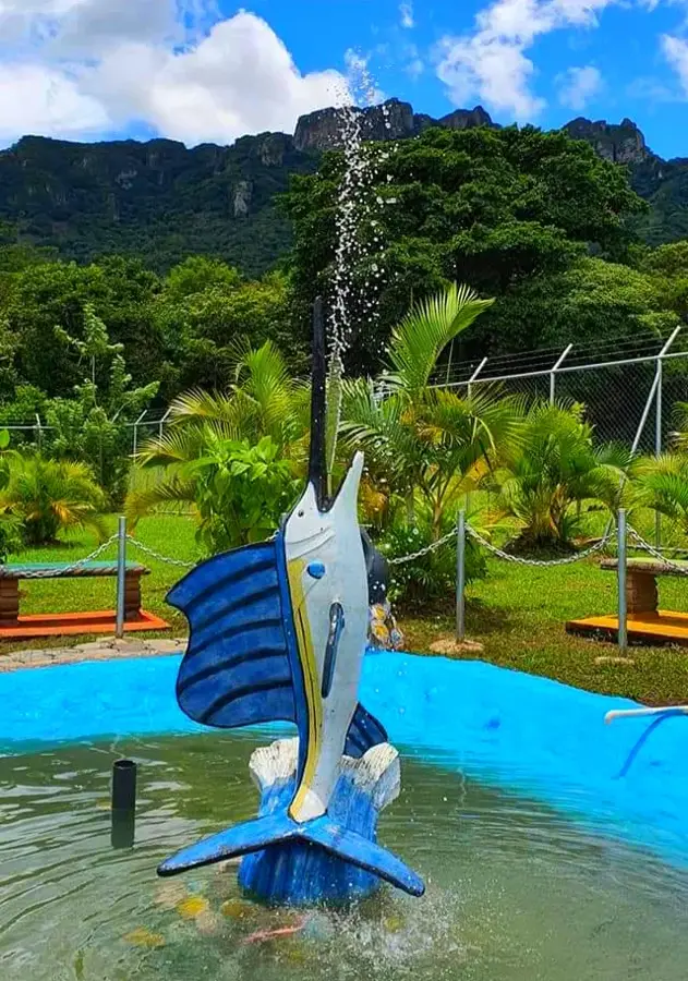
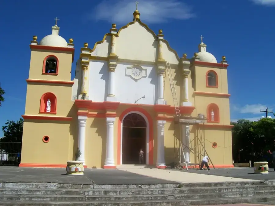
- Nearby: San Esteban (4 km)
Best time to visit & climate
The most pleasant time to visit is Feb–Apr.
| Jan | Feb | Mar | Apr | May | Jun | Jul | Aug | Sep | Oct | Nov | Dec | |
|---|---|---|---|---|---|---|---|---|---|---|---|---|
| Avg °C | 21 | 22 | 23 | 25 | 26 | 25 | 24 | 25 | 25 | 24 | 22 | 22 |
| Rain mm | 127 | 78 | 59 | 41 | 96 | 150 | 142 | 137 | 127 | 230 | 216 | 144 |
📋 Practical info
Geography
Facts
- The summit reaches an elevation of approximately 1,800 meters.
- The area is known for its potential mineral resources.
- It is a central territory for the indigenous Pech people.
- The forest supports a variety of rare Central American bird species.
- The mountain's geology is largely composed of sedimentary rock.
- It acts as a primary source for several tributaries of the Sico River.
Explore nearby
Notable places around
Route planner — Car & Motorhome
Where do you start? We build the route here, with stops and country notes along the way.
© OpenStreetMap contributors · OpenRouteService
Sights nearby
Frequently asked questions
How high is Cerro El Carbón?
Is the climb difficult?
Are there marked trails?
What is special about this mountain?
What is the climate like up there?
Cerro El Carbón: where is it located?
Cerro El Carbón: when is the best time to visit?
Cerro El Carbón: why is it worth visiting?

Nearby cities


History & landmarks
Nature
More places