Plizio Visual Lab
Aguán Valley

Weather…
Water temperature…
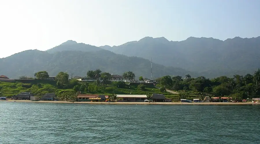
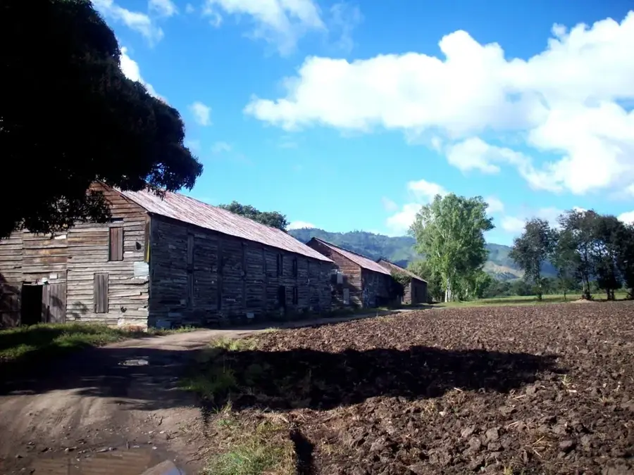
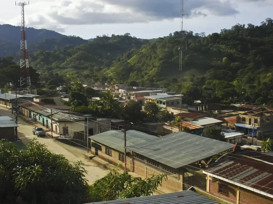
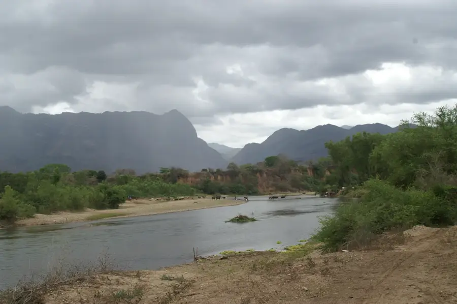
The Aguán Valley (Valle del Aguán) is one of the most fertile and economically dynamic regions on the northern coast of Honduras. It is traversed by the Aguán River, which winds for hundreds of kilometers through the departments of Yoro and Colón. The region is the hub of the Honduran agribusiness sector, particularly famous for its vast plantations of bananas and African oil palms. The humid tropical climate and rich alluvial soils provide good conditions for large-scale farming. Geographically, the valley is framed by the Sierra de Agalta and the Yoro Mountains. Beyond crops, cattle ranching is also a significant economic pillar. History: The valley has been a focal point for agrarian reform movements and has been a cornerstone of the national export economy since the early 20th century.
- Location: Honduras
- Nearby: San Francisco de la Paz (6 km)
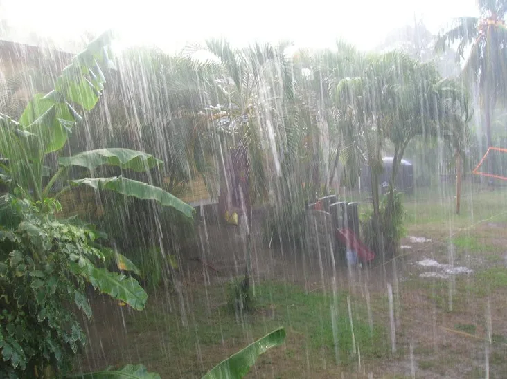
Best time to visit & climate
The most pleasant time to visit is Feb–Apr.
| Jan | Feb | Mar | Apr | May | Jun | Jul | Aug | Sep | Oct | Nov | Dec | |
|---|---|---|---|---|---|---|---|---|---|---|---|---|
| Avg °C | 21 | 22 | 23 | 25 | 26 | 25 | 25 | 25 | 25 | 24 | 22 | 21 |
| Rain mm | 154 | 93 | 73 | 44 | 90 | 135 | 123 | 125 | 132 | 231 | 241 | 163 |
📋 Practical info
Geography
Facts
- Primary hub for African oil palm production in Honduras.
- Hydrologically sustained by the 240 km long Aguán River.
- Historical center for the national agrarian reform movements.
- Nestled between the Agalta and Yoro mountain ranges.
- Home to major agricultural cities like Tocoa and Olanchito.
- One of Central America's most productive alluvial plains.
Explore nearby
Notable places around
Route planner — Car & Motorhome
Where do you start? We build the route here, with stops and country notes along the way.
© OpenStreetMap contributors · OpenRouteService
Sights nearby
Frequently asked questions
Where is the Aguán Valley located?
What is the most important agricultural product?
Are there tourist destinations there?
How is the infrastructure?
Which river flows through the valley?
Aguán Valley: where is it located?
Aguán Valley: when is the best time to visit?
Aguán Valley: why is it worth visiting?

Nearby cities


History & landmarks

Nature

More places