Plizio Visual Lab
Sierra de Agalta
Weather…
Water temperature…
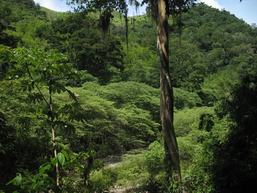
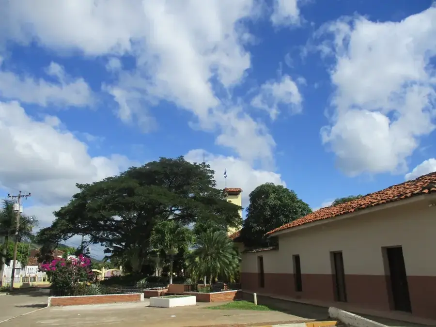
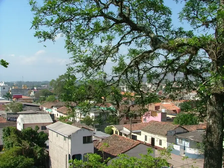
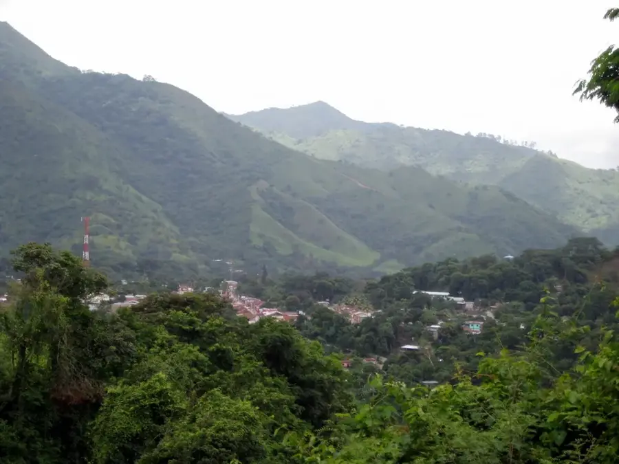
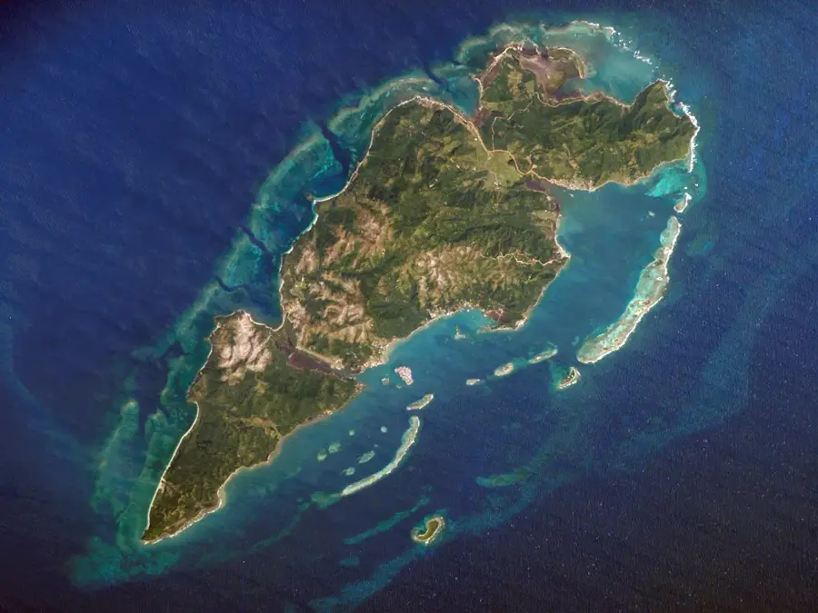
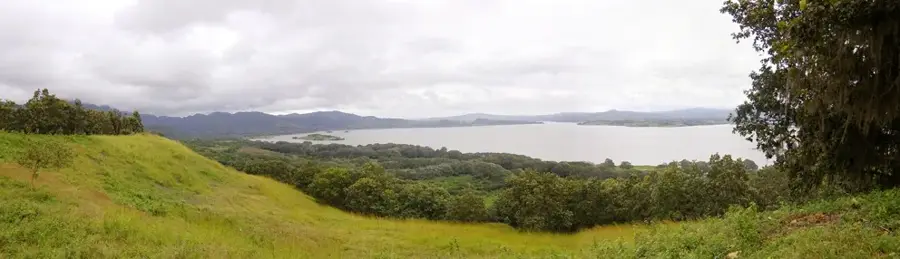
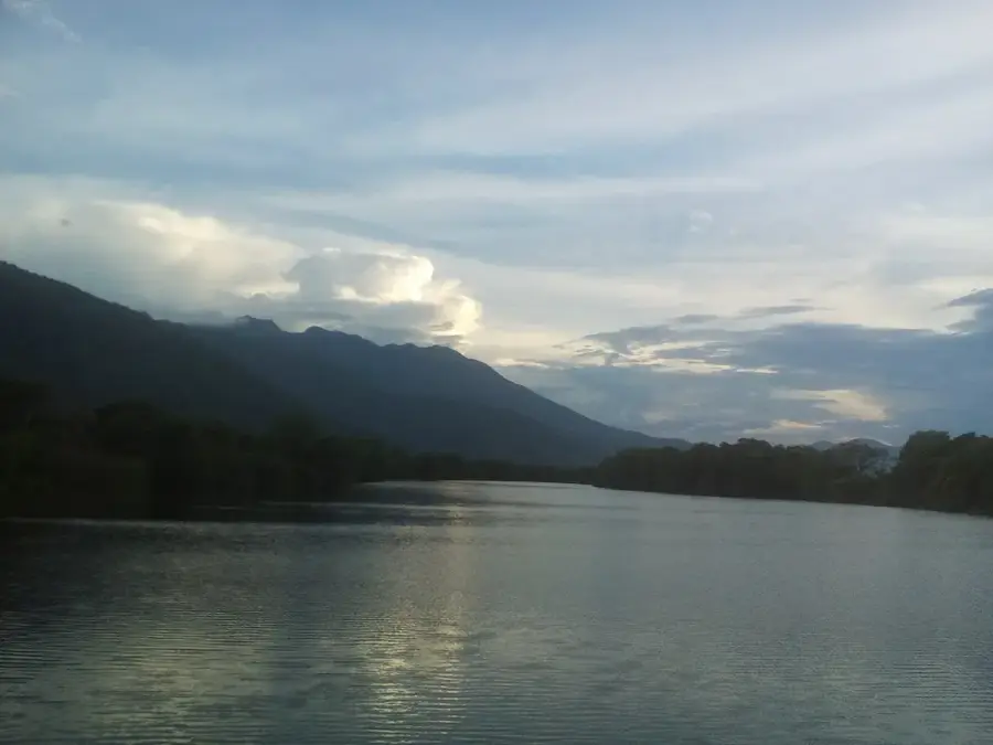
The Sierra de Agalta is a massive mountain range in the Olancho department and home to one of Honduras's most vital national parks. The range reaches an elevation of 2,354 meters at its highest point, Mogotón, and is almost perpetually shrouded in clouds. These cloud forests are critical for the region's water cycle, feeding numerous rivers that sustain local agriculture and communities. The park is renowned for its high rate of endemism, featuring rare amphibians and orchid species found nowhere else. The valleys at the foot of the Sierra are famous for cattle ranching and premium coffee estates. The terrain is exceptionally rugged and wild, making it a sanctuary for serious naturalists and researchers. History: The national park was established in 1987 to protect the vital water sources and biodiversity of Olancho.
- Location: Honduras
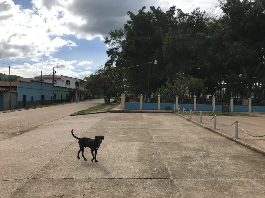
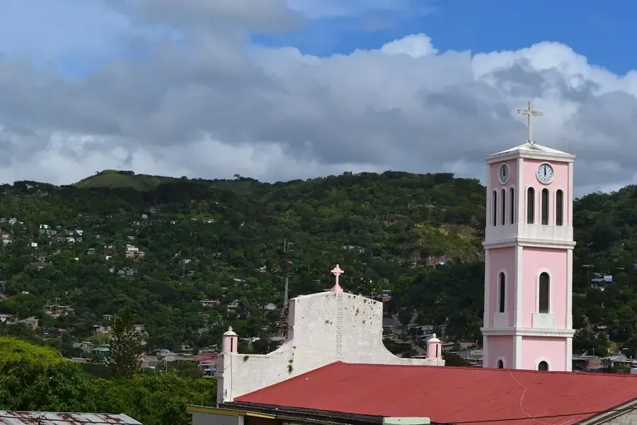
- Nearby: Guanaja Town (10 km)
Best time to visit & climate
The most pleasant time to visit is Jan–Mar.
| Jan | Feb | Mar | Apr | May | Jun | Jul | Aug | Sep | Oct | Nov | Dec | |
|---|---|---|---|---|---|---|---|---|---|---|---|---|
| Avg °C | 20 | 21 | 23 | 25 | 25 | 24 | 23 | 23 | 24 | 22 | 21 | 20 |
| Rain mm | 81 | 54 | 45 | 37 | 101 | 147 | 122 | 120 | 125 | 169 | 137 | 93 |
📋 Practical info
Geography
Facts
- Highest peak reaches 2,354 meters in elevation.
- National Park covers an area of 207.85 square kilometers.
- Vital source of water for the Olancho department.
- Known for its exceptionally high floral endemism.
- Features extensive and pristine cloud forest tracts.
- Established as a protected national park in 1987.
Explore nearby
Notable places around
Route planner — Car & Motorhome
Where do you start? We build the route here, with stops and country notes along the way.
© OpenStreetMap contributors · OpenRouteService
Sights nearby
Frequently asked questions
Where is the Sierra de Agalta located?
What is the main attraction for tourists?
How high are the mountains there?
Are there rare animals there?
Is the Sierra well-developed for tourism?
Sierra de Agalta: where is it located?
Sierra de Agalta: when is the best time to visit?
Sierra de Agalta: why is it worth visiting?

Nearby cities


History & landmarks
Nature
More places