Plizio Visual Lab
Guayape
ℹ️Practical info — Guayape
▾
🌤 Weather — 5 days
📍 Nearby
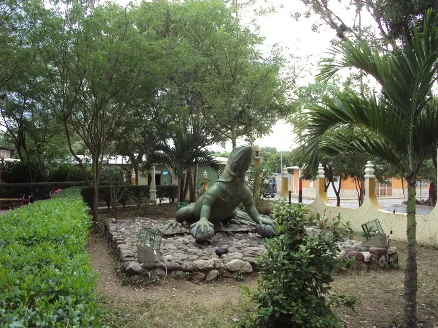
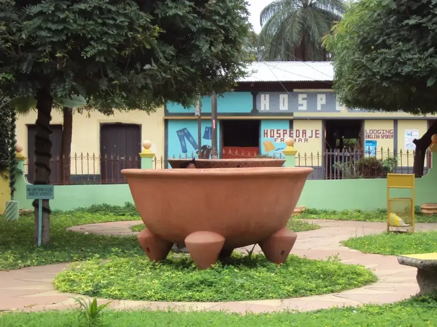
Sights nearby
💡 Tips
- Bring enough cash in Lempiras as ATMs might not be available or reliable.
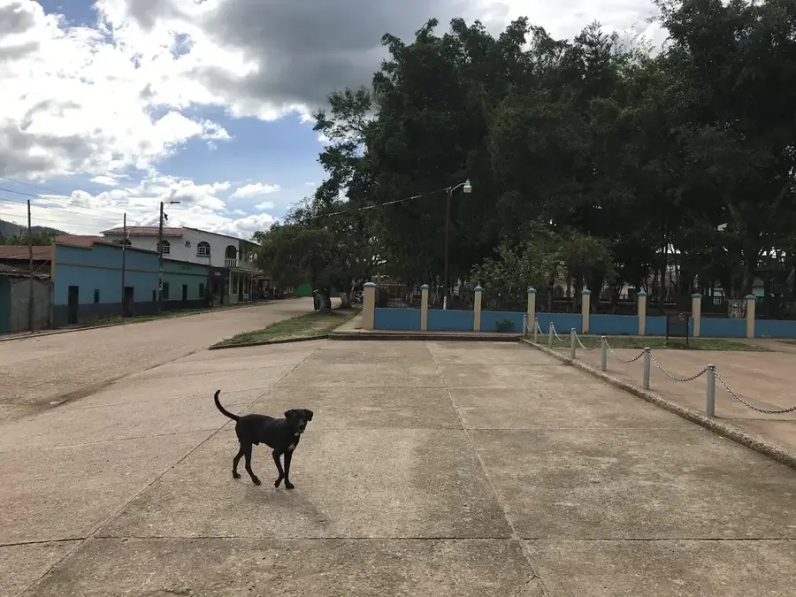
- The town is an agricultural hub; mornings at the local market are best to see daily life.
- Public transport is basic; rely on local 'colectivos' or pickup trucks to get around.
- Wear comfortable clothing suited for a warm, rural climate.
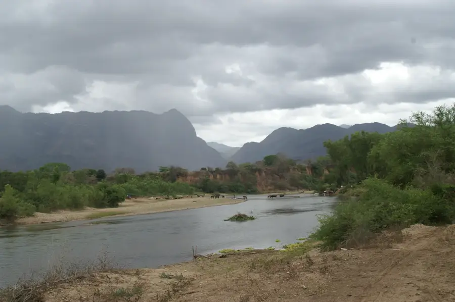
- Try to visit the nearby Guayape River for a refreshing break.
🍽 Food
Find them at small street stalls around the main square.
Hearty bean soup served in local family-run eateries.
Buy directly from farmers at the morning market.
🛍 Shopping · 🧘 Quiet spots
Look for small bags of locally grown coffee in village shops.
Occasionally sold by artisans near the center.
A peaceful spot to sit by the water just outside town.
Take a walk along the dirt roads bordering the crop fields.
Water temperature…
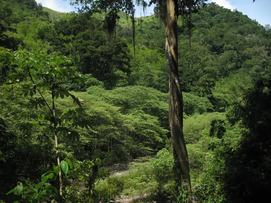
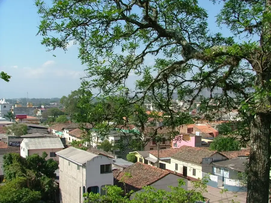
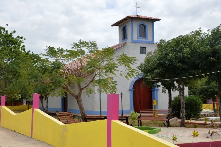
Guayape is a municipality in the Olancho department of Honduras, situated at an average elevation of approximately 550 meters above sea level. The settlement was officially established in 1819, though human presence in the region dates back to the Spanish colonial era. The local economy is driven almost entirely by agriculture, with cattle ranching and the cultivation of basic grains such as maize and beans being the primary activities. Its geographic location between the central highlands and the eastern plains makes it a significant regional transit point for trade within Olancho. The landscape is defined by rolling hills and vegetation typical of subtropical dry forests. In recent decades, the community has made efforts to improve its infrastructure while preserving its rural character and traditional agricultural practices, which remain vital for the food security of the surrounding department.
- Location: Honduras
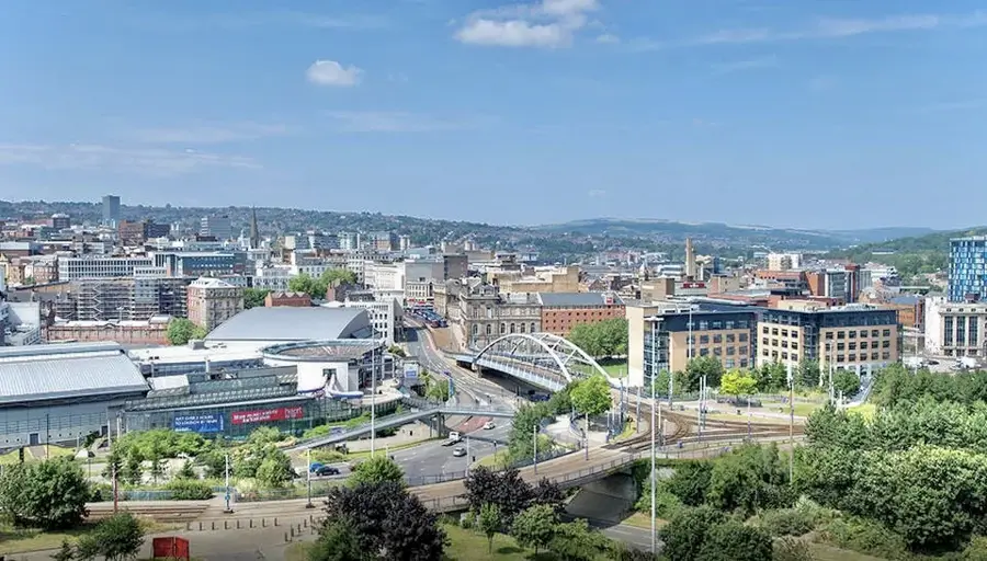
- Nearby: Sonaguera (8 km)
Best time to visit & climate
The most pleasant time to visit is Jan–Mar.
| Jan | Feb | Mar | Apr | May | Jun | Jul | Aug | Sep | Oct | Nov | Dec | |
|---|---|---|---|---|---|---|---|---|---|---|---|---|
| Avg °C | 20 | 21 | 23 | 25 | 25 | 24 | 23 | 23 | 24 | 22 | 21 | 20 |
| Rain mm | 81 | 54 | 45 | 37 | 101 | 147 | 122 | 120 | 125 | 169 | 137 | 93 |
Geography
Facts
- Founded officially in the year 1819
- Situated at 550 meters elevation
- Part of the Olancho department
- Key center for regional cattle ranching
- Population is approximately 13,000
- Main crops are maize and beans
Explore nearby
Notable places around
Route planner — Car & Motorhome
Where do you start? We build the route here, with stops and country notes along the way.
© OpenStreetMap contributors · OpenRouteService
Frequently asked questions
Why is it named Guayape?
Can you swim in the river?
What is the main activity of the people?
Is the town developed for tourism?
What is the landscape like?
Guayape: where is it located?
Guayape: when is the best time to visit?
Guayape: why is it worth visiting?

Nearby cities
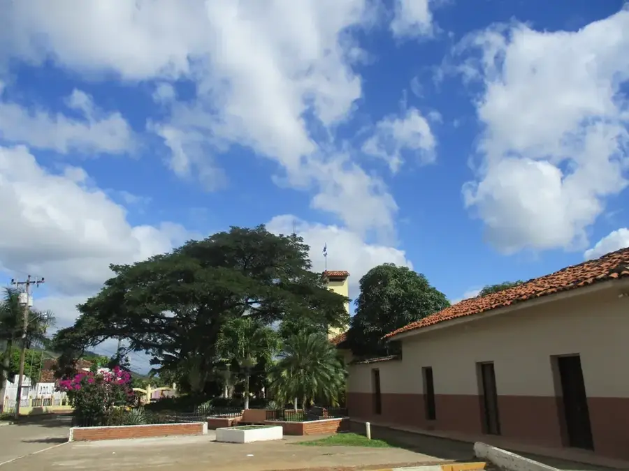
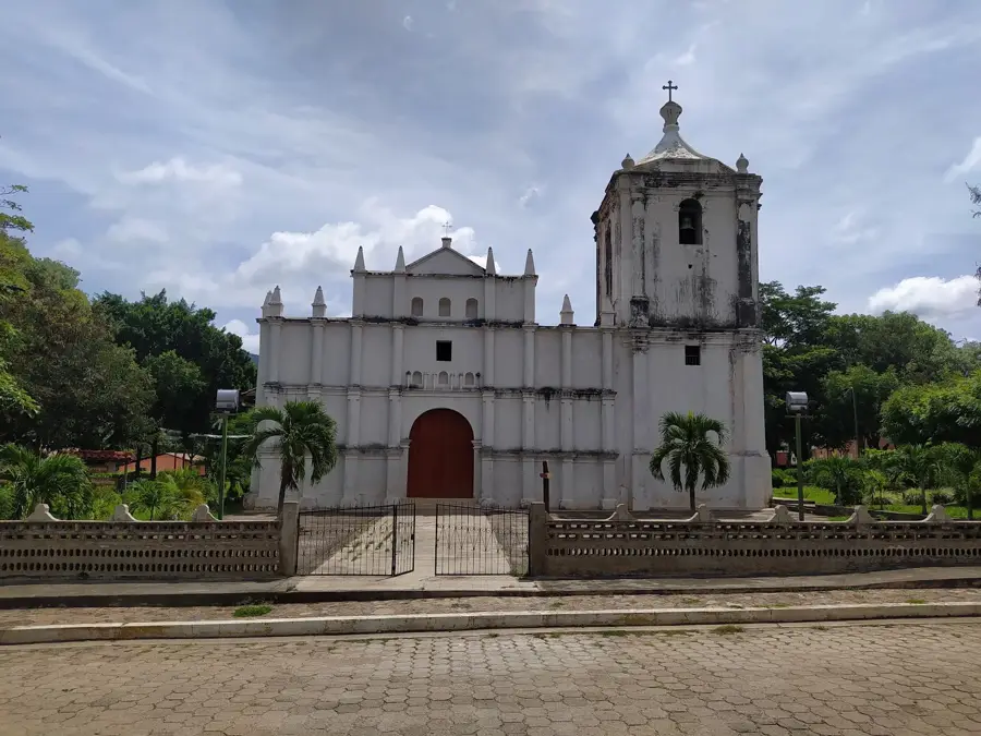

History & landmarks
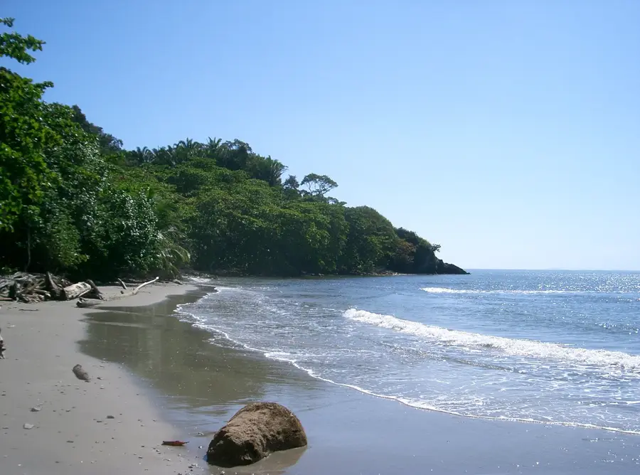
Nature

More places