Plizio Visual Lab
Sabá
ℹ️Practical info — Sabá
▾
🌤 Weather — 5 days
📍 Nearby
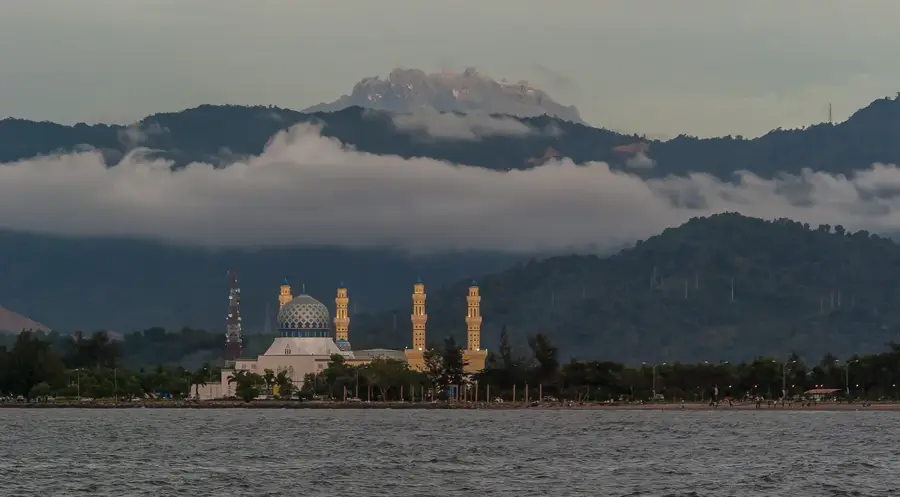
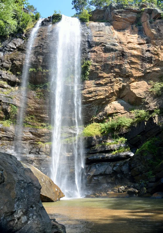
Sights nearby
💡 Tips
- Sabá is a major transit hub; it's a convenient place to catch buses to La Ceiba, Tocoa, or Trujillo.
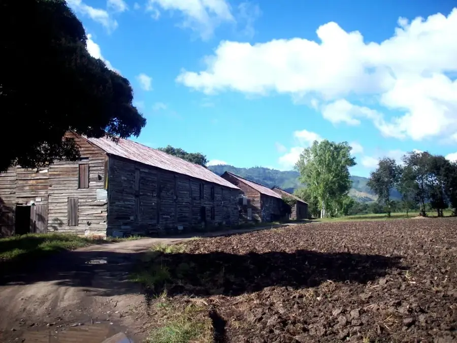
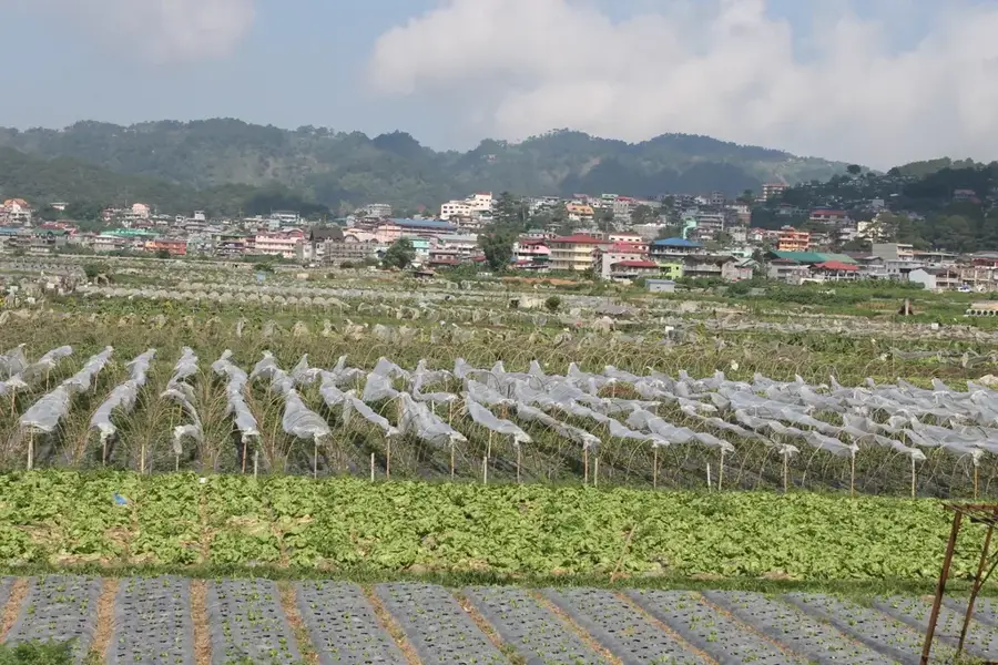
- It is surrounded by vast plantations, making the scenery green, but the town itself is very commercial.
- Bring cash, as smaller vendors and transport operators do not accept cards.
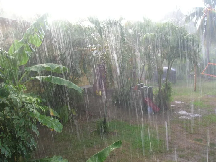
- The heat can be intense; always carry a bottle of water when walking through the town.
🍽 Food
Thanks to its transit links to the coast, you can find excellent fried fish in local diners.
The classic Honduran street food is widely available at numerous roadside stands here.
Buy chilled coconuts from street vendors to stay hydrated in the tropical heat.
🛍 Shopping · 🧘 Quiet spots
Grab local snacks and travel essentials at the stalls near the main bus stops.
Buy locally grown bananas and citrus fruits directly from farmers along the main road.
Take a walk just outside the town to see the vast, quiet expanses of agricultural fields.
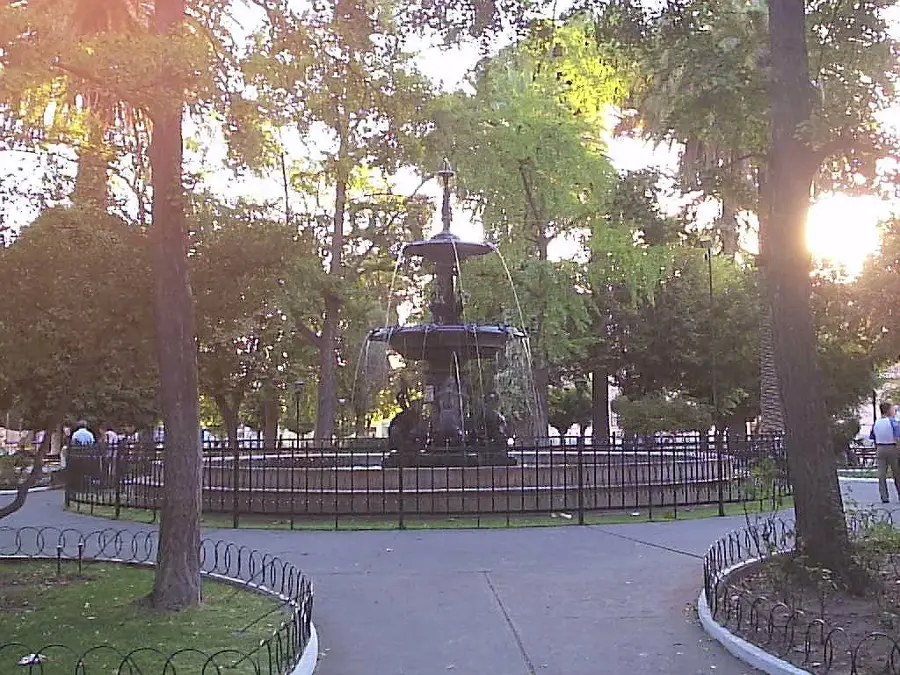
A small, peaceful area in the town center to take a break from the busy transit traffic.
Water temperature…
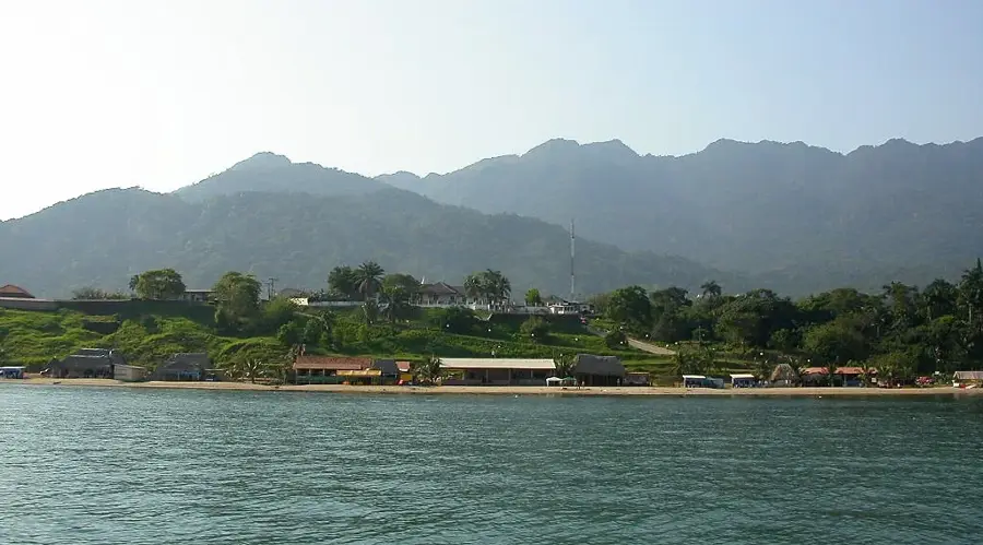
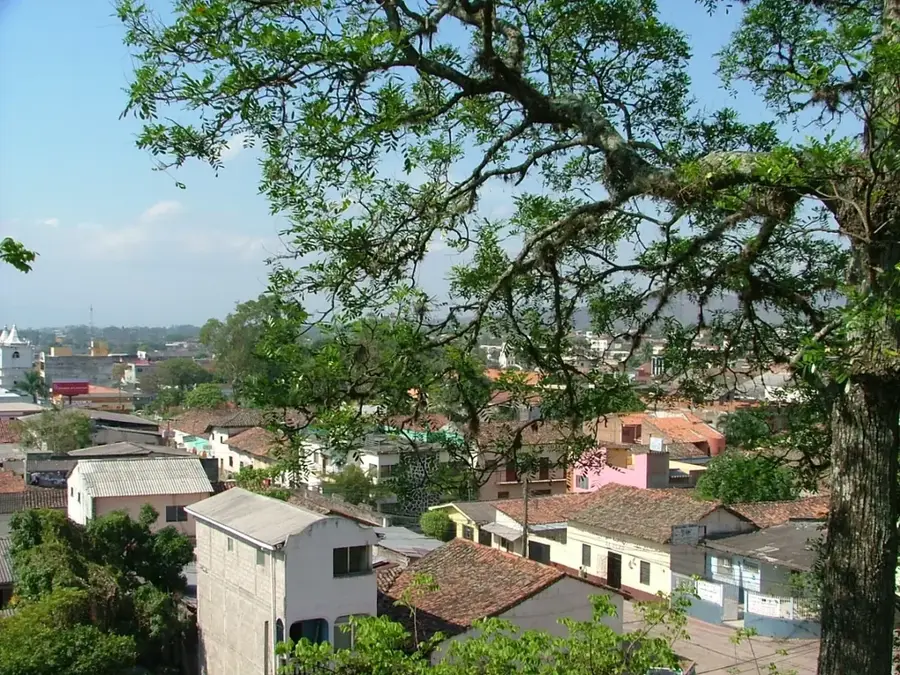
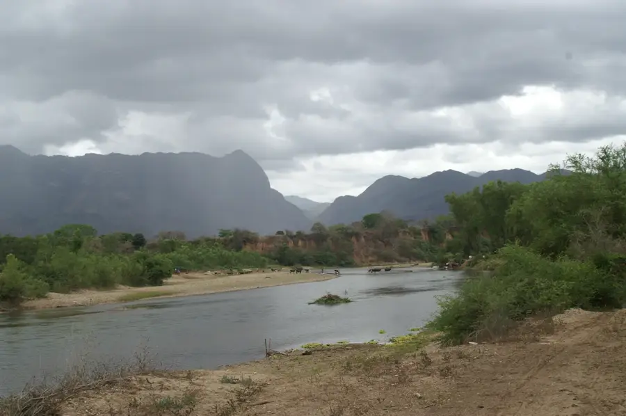
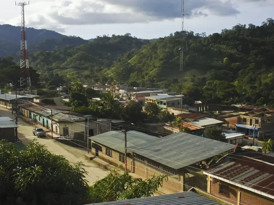
Sabá is a strategically important city in the Colón Department of northern Honduras, situated in the expansive Aguán River valley. The town's history is deeply intertwined with the expansion of American fruit companies in the early 20th century, which significantly shaped the region's infrastructure and economic landscape. On May 14, 1964, Sabá was officially granted the status of an independent municipality, having previously been part of the neighboring jurisdiction of Sonaguera. Geographically, the area is characterized by its flat topography and fertile alluvial soils, which facilitate intensive and large-scale agricultural production. Today, the city serves as the economic hub of the middle Aguán valley, with the cultivation of oil palms, bananas, and various citrus fruits being the primary sources of income. Due to its location at the crossroads of major national highways, Sabá functions as a central logistical and commercial hub for the movement of goods between the Atlantic coast and the country's interior provinces. Despite its economic vitality, the region remains susceptible to tropical storms and seasonal flooding from the nearby Aguán River, which frequently impact local operations.
- Location: Honduras
- Nearby: San Francisco de la Paz (6 km)
- Population: ~33.879 (2026)
Best time to visit & climate
The most pleasant time to visit is Feb–Apr.
| Jan | Feb | Mar | Apr | May | Jun | Jul | Aug | Sep | Oct | Nov | Dec | |
|---|---|---|---|---|---|---|---|---|---|---|---|---|
| Avg °C | 21 | 22 | 23 | 25 | 26 | 25 | 25 | 25 | 25 | 24 | 22 | 21 |
| Rain mm | 154 | 93 | 73 | 44 | 90 | 135 | 123 | 125 | 132 | 231 | 241 | 163 |
Geography
Facts
- The municipality was officially established on May 14, 1964.
- Sabá is located in the Colón Department within the Aguán Valley.
- The Aguán River is the primary water source for the surrounding fields.
- Oil palm and banana plantations are the backbone of the local economy.
- The city sits at an average elevation of approximately 60 meters above sea level.
- It serves as a vital transportation link between northern and eastern Honduras.
Explore nearby
Notable places around
Route planner — Car & Motorhome
Where do you start? We build the route here, with stops and country notes along the way.
© OpenStreetMap contributors · OpenRouteService
Frequently asked questions
What is the importance of Sabá?
What are the main activities?
Is it hot in Sabá?
Are there hotels in Sabá?
How is the road connection?
Sabá: where is it located?
Sabá: when is the best time to visit?
Sabá: why is it worth visiting?

Nearby cities
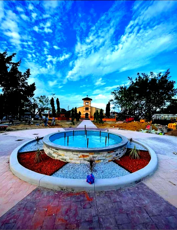

History & landmarks
Nature

More places