Plizio Visual Lab
Botaderos Mountains

Weather…
Water temperature…
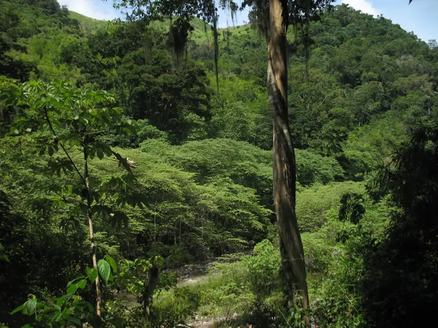
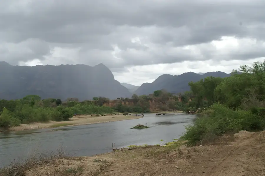
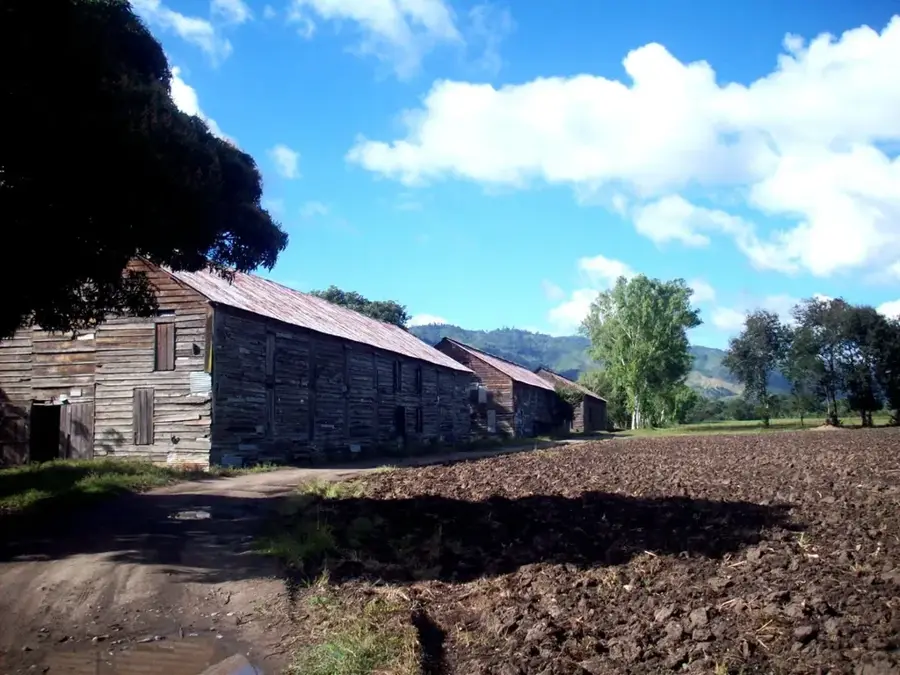
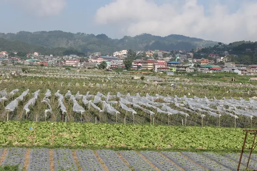
The Botaderos Mountains, officially known today as the Montaña de Botaderos 'Carlos Escaleras' National Park, represent one of the least explored mountainous regions in eastern Honduras. Spanning the departments of Olancho and Colón, the area is characterized by pristine tropical rainforests and highland cloud forests. With peaks exceeding 1,500 meters, the range serves as a critical habitat for endangered species such as jaguars and tapirs. The region's ecological importance is vast, as it contains the headwaters of numerous rivers vital for agriculture in surrounding valleys. The park stands as a symbol of environmental advocacy in Honduras. History: In 2012, the park was renamed in honor of the martyred activist Carlos Escaleras, who fought tirelessly to protect this wilderness from exploitation.
- Location: Honduras
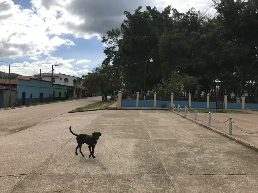
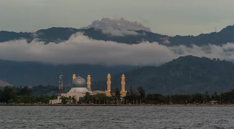
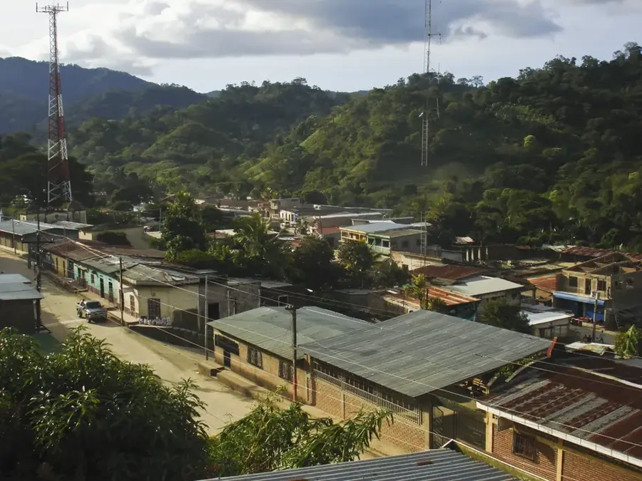
- Nearby: Sabá (4 km)
Best time to visit & climate
The most pleasant time to visit is Jan–Mar.
| Jan | Feb | Mar | Apr | May | Jun | Jul | Aug | Sep | Oct | Nov | Dec | |
|---|---|---|---|---|---|---|---|---|---|---|---|---|
| Avg °C | 20 | 21 | 23 | 25 | 25 | 24 | 23 | 23 | 24 | 22 | 21 | 20 |
| Rain mm | 81 | 54 | 45 | 37 | 101 | 147 | 122 | 120 | 125 | 169 | 137 | 93 |
📋 Practical info
Geography
Facts
- Official name honors activist Carlos Escaleras.
- Elevations reach over 1,500 meters.
- Key segment of the Mesoamerican Biological Corridor.
- Contains essential water sources for Olancho and Colón.
- Features high biodiversity with many endemic plants.
- Designated as a national park in 2011.
Explore nearby
Notable places around
Route planner — Car & Motorhome
Where do you start? We build the route here, with stops and country notes along the way.
© OpenStreetMap contributors · OpenRouteService
Sights nearby
Frequently asked questions
Where is the Botaderos mountain range located?
Is it a protected area?
Is there much tourism there?
What is the main threat to the park?
What animals live there?
Botaderos Mountains: where is it located?
Botaderos Mountains: when is the best time to visit?
Botaderos Mountains: why is it worth visiting?

Nearby cities


More places