Plizio Visual Lab
Catacamas Trade

Weather…
Water temperature…
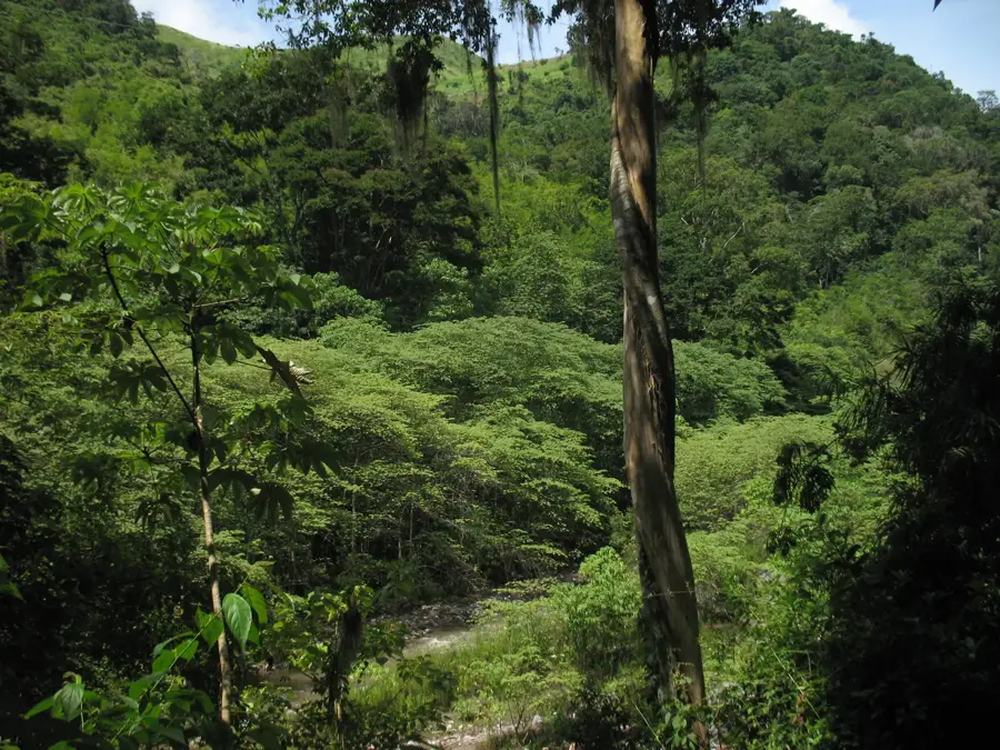
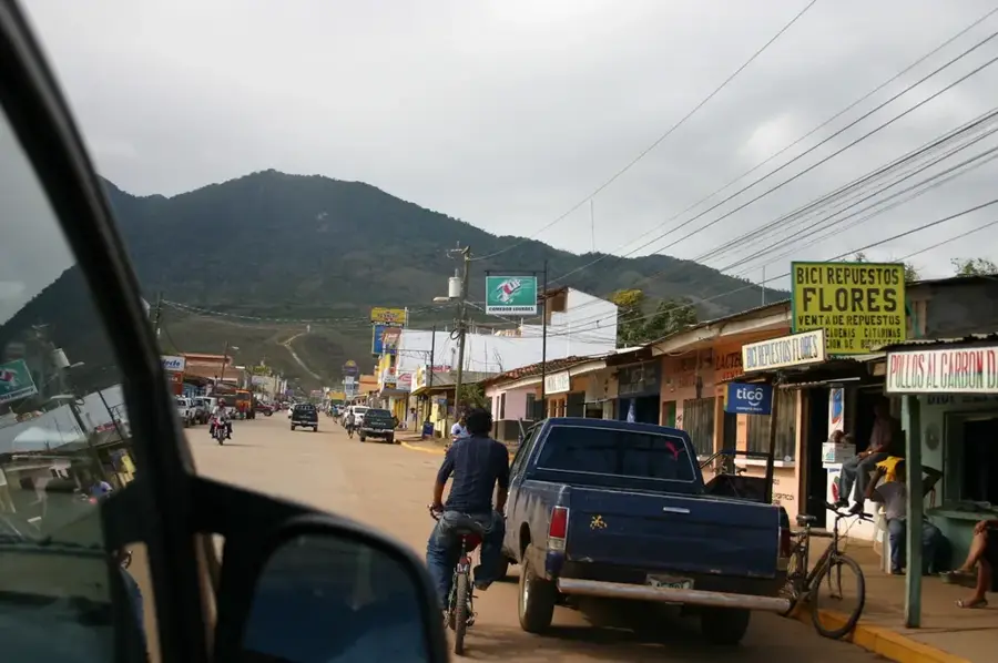
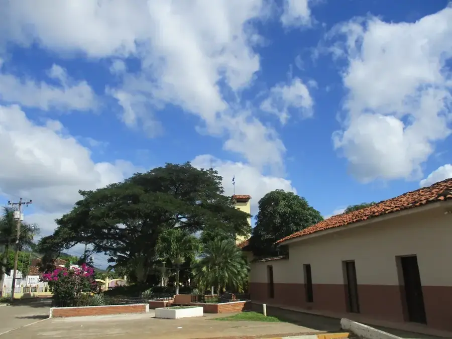
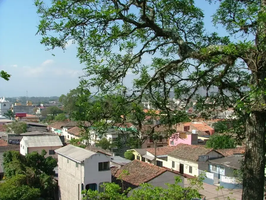
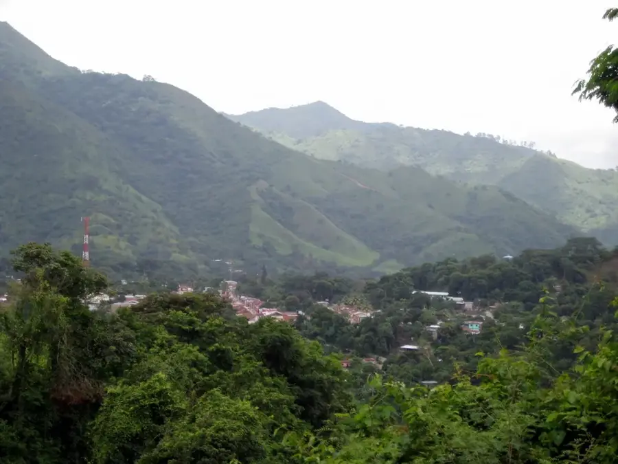
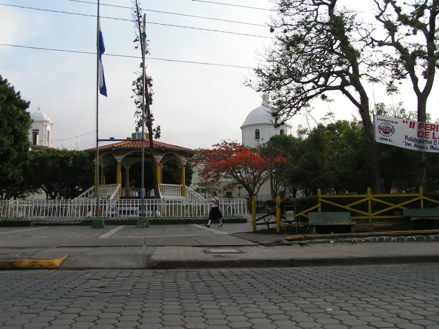
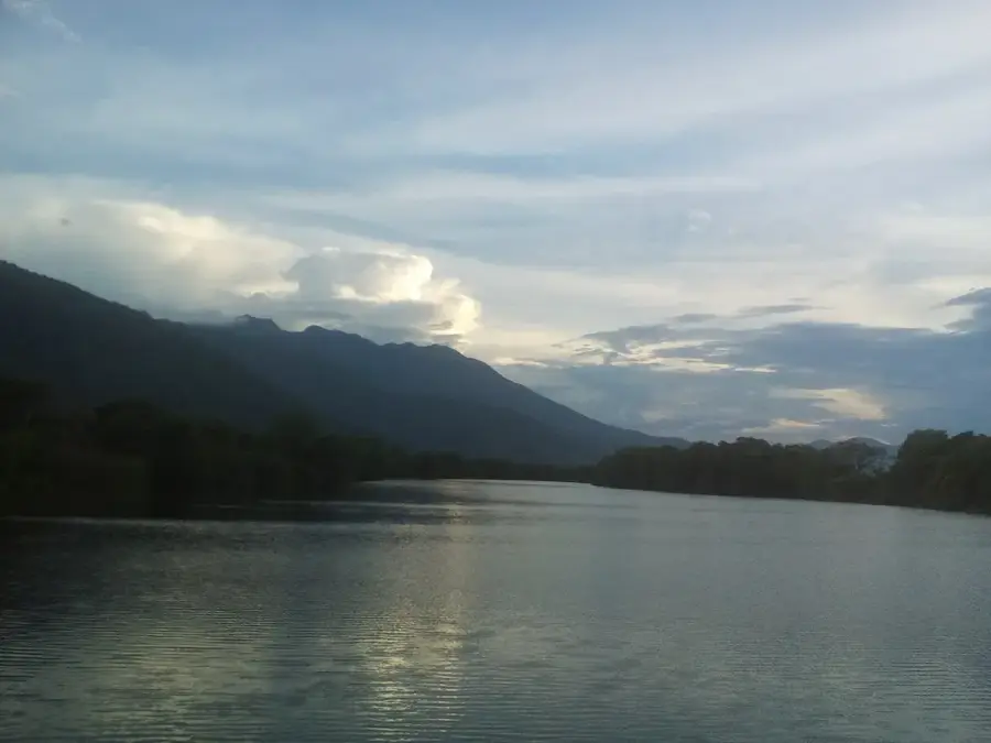
Catacamas is the largest municipality by land area in the Olancho Department and stands as a pivotal economic powerhouse in eastern Honduras. The city operates as a primary commercial hub, facilitating the trade and distribution of agricultural commodities from the expansive Olancho plains. Its economic backbone is formed by extensive cattle ranching and a robust dairy industry, with Catacamas being a leading producer of traditional cheeses and butter. In addition to livestock, the cultivation of coffee in the nearby highlands and staple crops like maize and rice are essential components of the local revenue stream. Geographically situated at the foothills of the Sierra de Agalta, the area provides a unique intersection of agricultural productivity and ecological diversity. Historically, the region features ancient roots, evidenced by the archaeological significance of the nearby Talgua Caves. Currently, Catacamas is also a center for higher education, hosting the National University of Agriculture (UNAG), which trains specialists for the country's entire agrarian sector.
- Location: Honduras
- Nearby: Tocoa (11 km)
Best time to visit & climate
The most pleasant time to visit is Jan–Mar.
| Jan | Feb | Mar | Apr | May | Jun | Jul | Aug | Sep | Oct | Nov | Dec | |
|---|---|---|---|---|---|---|---|---|---|---|---|---|
| Avg °C | 20 | 21 | 23 | 25 | 25 | 24 | 23 | 23 | 24 | 22 | 21 | 20 |
| Rain mm | 81 | 54 | 45 | 37 | 101 | 147 | 122 | 120 | 125 | 169 | 137 | 93 |
📋 Practical info
Geography
Facts
- Catacamas is the largest municipality by area in Honduras.
- The city is home to the National University of Agriculture (UNAG).
- The nearby Talgua Caves date back to pre-Columbian times.
- Catacamas is situated at an elevation of about 450 meters.
- Livestock farming is the most important economic sector of the town.
- The municipality was officially established in 1898.
Explore nearby
Notable places around
Route planner — Car & Motorhome
Where do you start? We build the route here, with stops and country notes along the way.
© OpenStreetMap contributors · OpenRouteService
Sights nearby
Frequently asked questions
What is the economic center of Catacamas?
What role does the UNAG university play?
Are there attractions near the trade center?
What are typical souvenirs from Catacamas?
Is Catacamas safe for business travel?
Catacamas Trade: where is it located?
Catacamas Trade: when is the best time to visit?
Catacamas Trade: why is it worth visiting?

Nearby cities


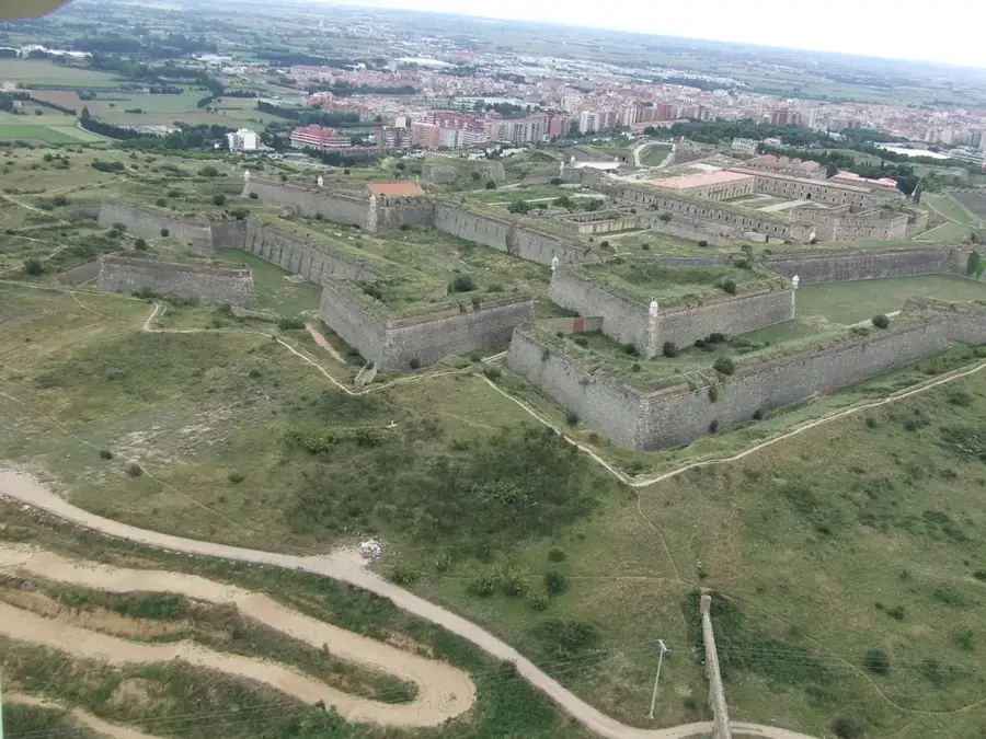
History & landmarks
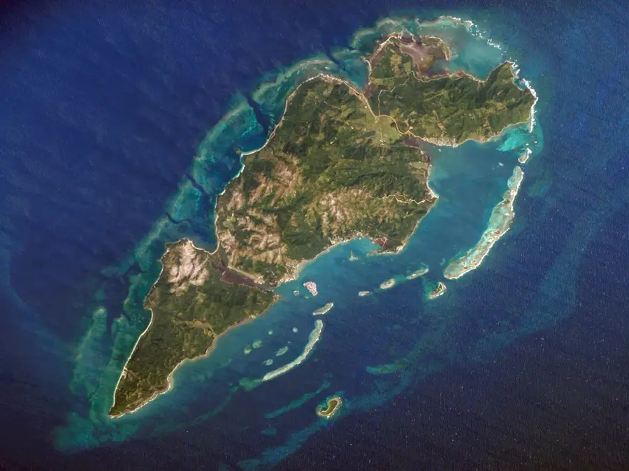
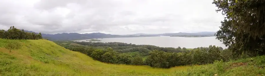
Nature
More places