Plizio Visual Lab
Jeannette Kawas National Park (Punta Sal)
Weather…
Water temperature…
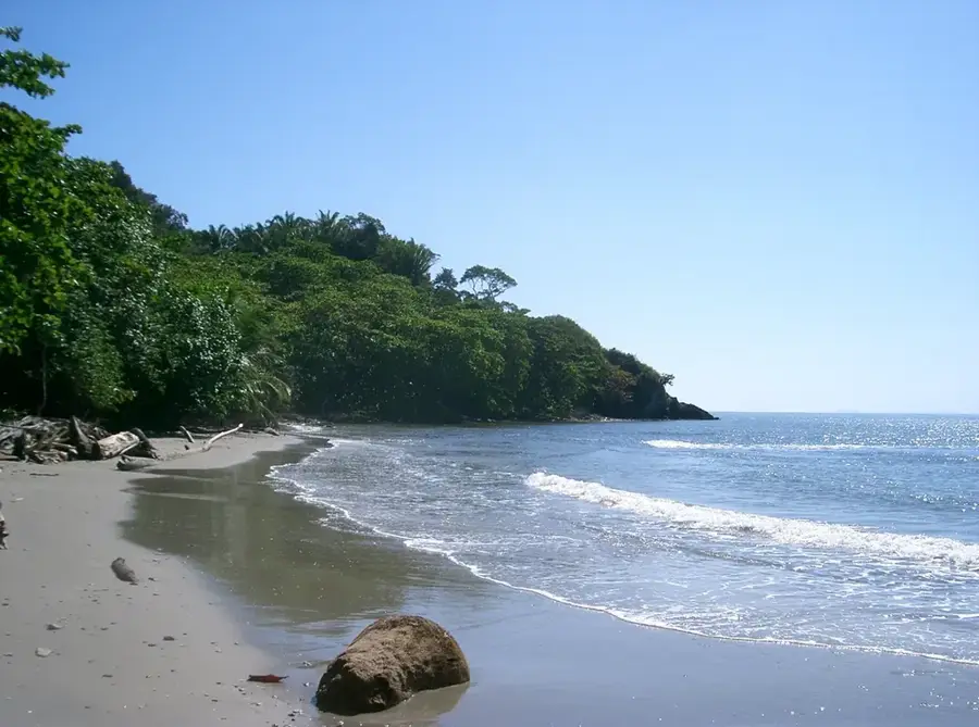
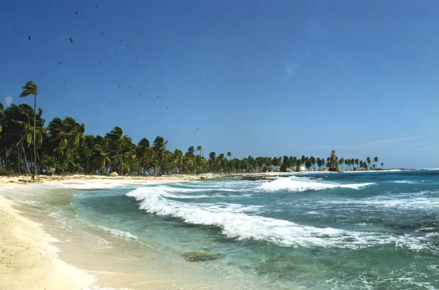
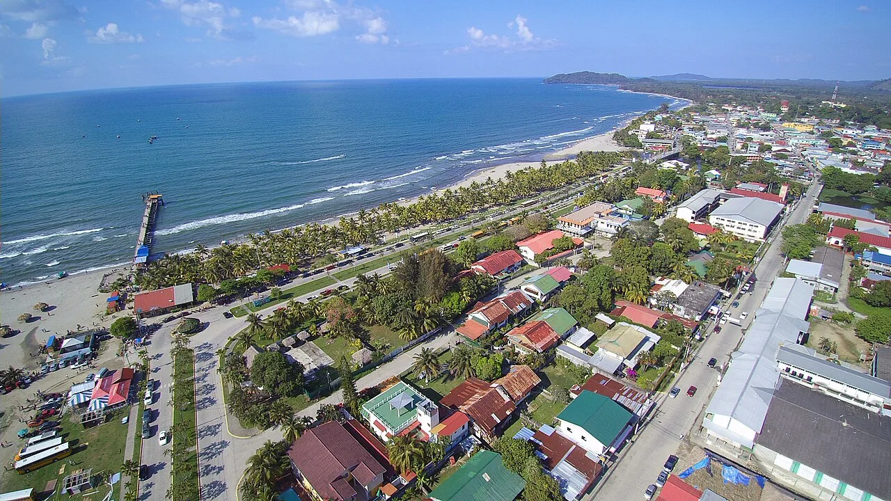
Jeannette Kawas National Park, more commonly known by its original name Punta Sal, is one of the most ecologically diverse protected areas on Honduras' Caribbean coast. The park features a remarkable blend of pristine sandy beaches, rugged rocky cliffs, mangrove lagoons, and lush tropical rainforest. It was renamed in honor of environmentalist Jeannette Kawas, who campaigned tirelessly for its protection. Wildlife is abundant here, including howler monkeys, white-faced capuchins, and a myriad of seabirds. Visitors can explore secluded coves by boat and snorkel in animated coral patches. The Punta Sal peninsula itself has spectacular trails with sweeping ocean views. The park serves as a vital model for the successful conservation of integrated coastal and marine ecosystems.
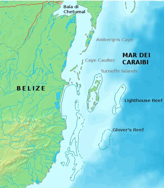
- Location: Honduras
- Nearby: Comayagua (7 km)
Best time to visit & climate
The most pleasant time to visit is Feb–Apr.
| Jan | Feb | Mar | Apr | May | Jun | Jul | Aug | Sep | Oct | Nov | Dec | |
|---|---|---|---|---|---|---|---|---|---|---|---|---|
| Avg °C | 24 | 25 | 26 | 27 | 28 | 28 | 28 | 28 | 28 | 27 | 26 | 25 |
| Rain mm | 180 | 110 | 81 | 47 | 115 | 195 | 172 | 174 | 198 | 279 | 286 | 189 |
📋 Practical info
Geography
Facts
- The park covers an area of approximately 781 km².
- It is divided into two main zones: the peninsula and the lagoon.
- There are over 35 mangrove islands within the lagoon system.
- It is home to more than 350 distinct plant species.
- The park is a crucial nesting site for several sea turtle species.
- It was officially established in 1994.
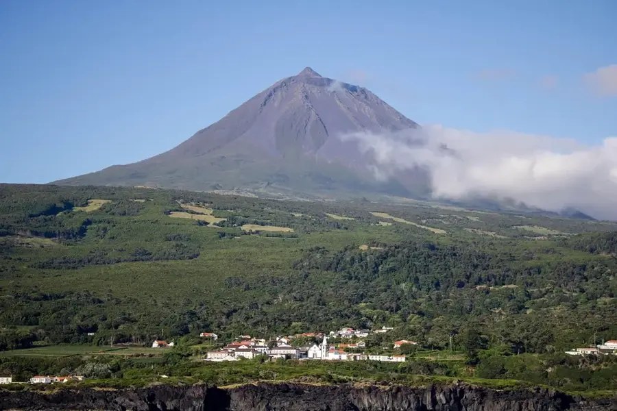
Explore nearby
Notable places around
Route planner — Car & Motorhome
Where do you start? We build the route here, with stops and country notes along the way.
© OpenStreetMap contributors · OpenRouteService
Sights nearby
Frequently asked questions
How do you get to Jeannette Kawas National Park?
What animals can be seen there?
Are there hiking trails in the park?
Do I need a guide?
What should I bring?
Jeannette Kawas National Park (Punta Sal): where is it located?
Jeannette Kawas National Park (Punta Sal): when is the best time to visit?
Jeannette Kawas National Park (Punta Sal): why is it worth visiting?

Nearby cities

History & landmarks

Nature
More places