Plizio Visual Lab
Fichtelberg
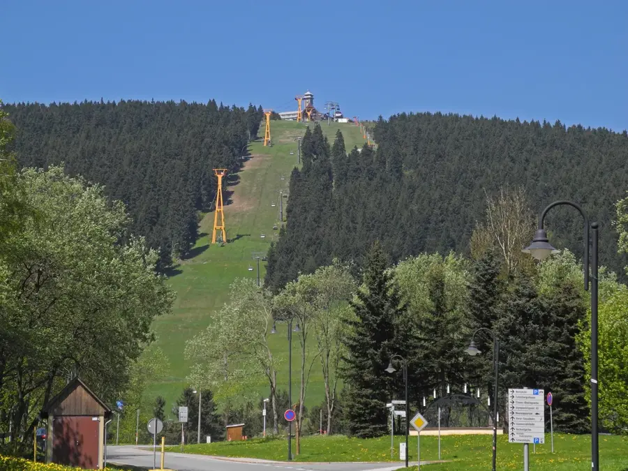
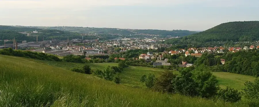
The Fichtelberg, at 1,215 meters, is the highest mountain in Saxony and the most significant peak in the German part of the Ore Mountains (Erzgebirge). It is located right on the border with the Czech Republic, directly above the town of Oberwiesenthal, the highest town in Germany. Together with the neighboring Czech peak Keilberg (Klínovec), the Fichtelberg massif forms the region's most important winter sports center. The summit is accessible via the Fichtelberg Cable Car, which began operations in 1924, making it the oldest cable car in Germany. The summit plateau features the Fichtelberghaus with an observation tower, a meteorological station, and a prominent Peace Bell tower. The region is renowned for its mining history and traditional Ore Mountain woodcraft. In summer, hikers and cyclists use the mountain as a starting point for tours along the Ore Mountains-Vogtland ridge trail.
- Location: Saxony, Germany
- Top sights: Wiesenthaler K3 · Moor am Pfahlberg · Meeresaquarium am Fichtelberg
- Nearby: Annaberg-Buchholz (17 km)
Best time to visit & climate
The most pleasant time to visit is Jun–Aug.
| Jan | Feb | Mar | Apr | May | Jun | Jul | Aug | Sep | Oct | Nov | Dec | |
|---|---|---|---|---|---|---|---|---|---|---|---|---|
| Avg °C | -3 | -2 | 2 | 7 | 12 | 16 | 18 | 18 | 13 | 8 | 3 | -1 |
| Rain mm | 58 | 41 | 48 | 40 | 69 | 75 | 84 | 78 | 62 | 53 | 57 | 58 |
📋 Practical info
Geography
Facts
- The Fichtelberg cable car covers a vertical height difference of 303 meters.
- The Fichtelberghaus was rebuilt after a major fire in 1963.
- Geologically, the mountain consists primarily of mica schist.
- Oberwiesenthal at the base of the mountain is situated at an altitude of 914 meters.
- The Peace Bell on the summit was consecrated in the year 2010.
- The Fichtelberg is an official base for Nordic winter sports in Germany.
Explore nearby
Notable places around
Route planner — Car & Motorhome
Where do you start? We build the route here, with stops and country notes along the way.
© OpenStreetMap contributors · OpenRouteService
Sights in the town Fichtelberg (5)
Meeresaquarium am Fichtelberg🎡 recreation
An aquarium in Oberwiesenthal showcasing various marine species and coral reefs.
Sights nearby
Frequently asked questions
How high is the Fichtelberg and where is it located?
Is there a cable car to the summit?
Can you go skiing on the Fichtelberg?
What is the Fichtelbergbahn?
Is it worth visiting in summer too?
Fichtelberg: where is it located?
Fichtelberg: what is there to see?
Fichtelberg: when is the best time to visit?
Fichtelberg: why is it worth visiting?

Nearby cities