Plizio Visual Lab
Upper Rhine Plain
Weather…
Water temperature…
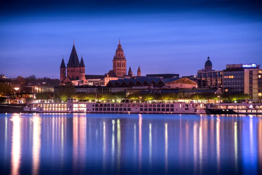
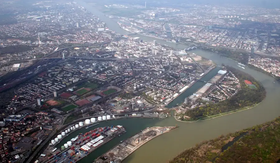
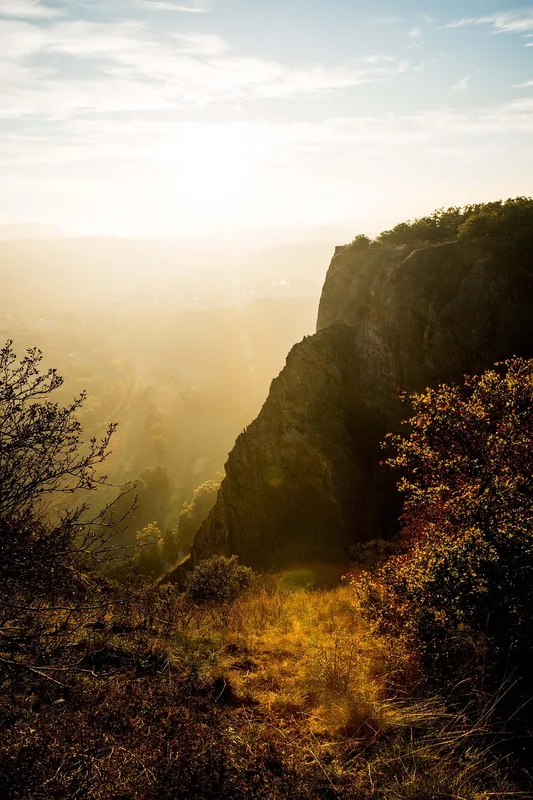
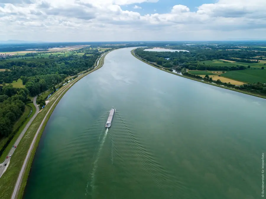
The Upper Rhine Plain is a prominent tectonic rift valley stretching approximately 300 kilometers between Basel and Frankfurt am Main. This geological subsidence zone formed about 35 million years ago during the Tertiary period and is now up to 40 kilometers wide. The valley is flanked by the Black Forest to the east and the Vosges Mountains to the west, resulting in a sheltered location and the mildest climate in Germany. Due to fertile loess soils and high levels of sunshine, the region is a major center for viticulture, fruit, and tobacco farming. The Rhine flows through the plain as one of Europe's most important waterways, connecting Southern Germany's industrial hubs with North Sea ports. Historically, the valley was a significant settlement area and trade route, evidenced by numerous Roman finds and medieval cities. Today, the area is densely populated and a key economic location, while the remaining Rhine floodplains serve as vital sanctuaries for rare bird species.
- Location: Rhineland-Palatinate, Germany
- Top sights: Schnaigbühl · Geigenköpfle · Feldbergblick
- Nearby: Lahr/Schwarzwald (7 km)
Best time to visit & climate
The most pleasant time to visit is Jun–Aug.
| Jan | Feb | Mar | Apr | May | Jun | Jul | Aug | Sep | Oct | Nov | Dec | |
|---|---|---|---|---|---|---|---|---|---|---|---|---|
| Avg °C | 0 | 1 | 5 | 9 | 13 | 17 | 19 | 19 | 14 | 10 | 5 | 1 |
| Rain mm | 84 | 63 | 70 | 58 | 99 | 83 | 92 | 89 | 65 | 81 | 74 | 91 |
📋 Practical info
Geography
Facts
- The valley is roughly 300 km long and up to 40 km wide.
- The average subsidence of the rift is about 0.5 mm per year.
- The region records the highest average temperatures in all of Germany.
- The rift valley formed about 35 million years ago during the Cenozoic.
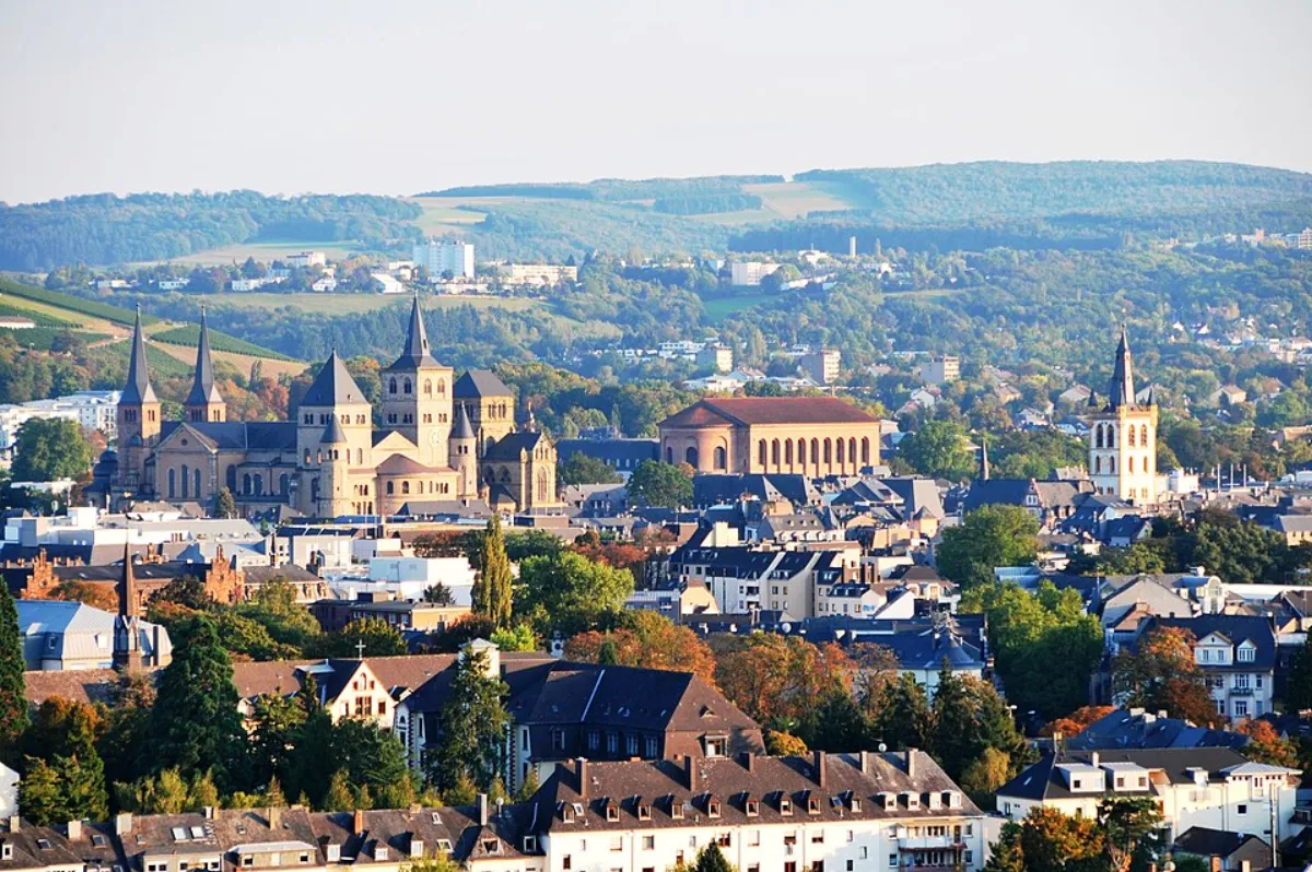
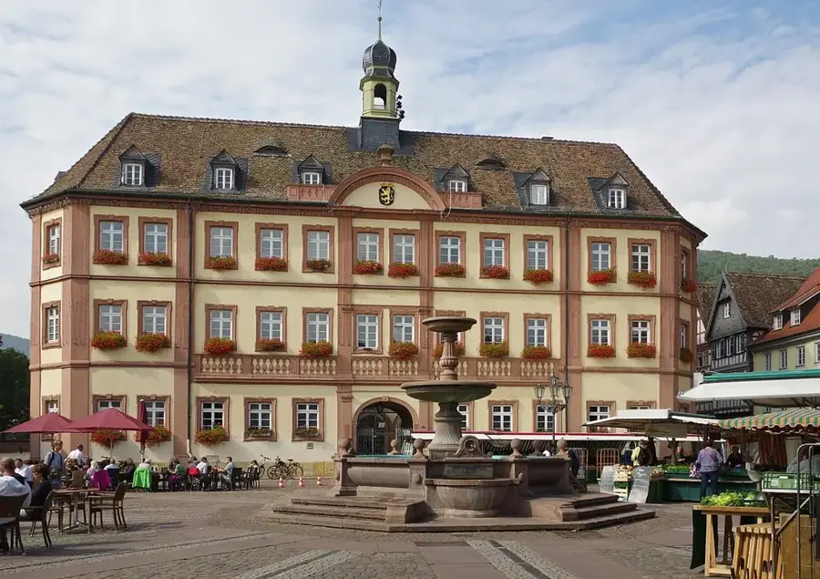
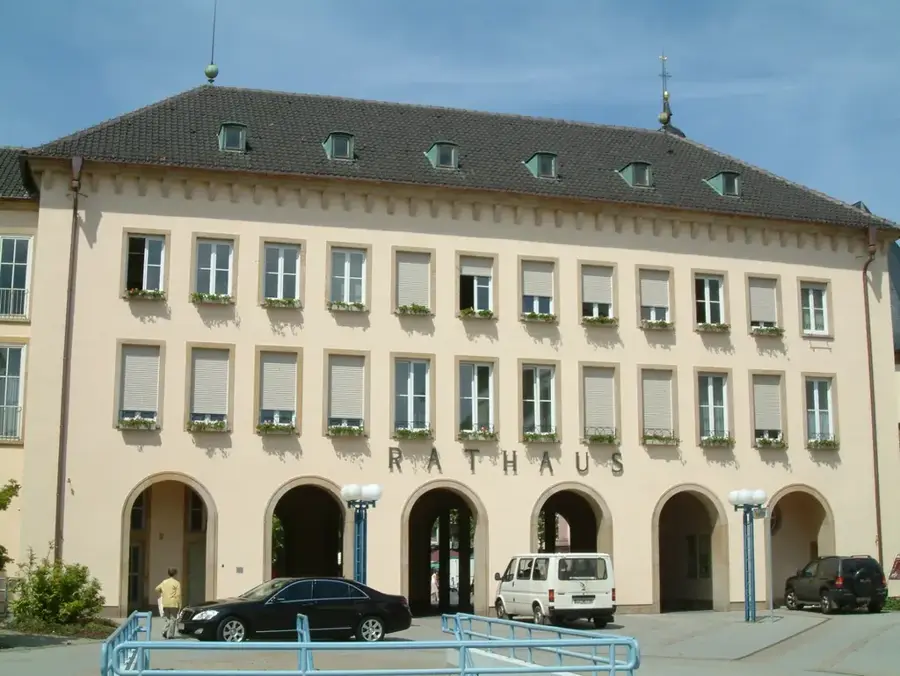
- The plain contains major cities such as Strasbourg, Karlsruhe, and Mannheim.
- The fertile loess soils reach a thickness of over 10 meters in some places.
Explore nearby
Notable places around
Route planner — Car & Motorhome
Where do you start? We build the route here, with stops and country notes along the way.
© OpenStreetMap contributors · OpenRouteService
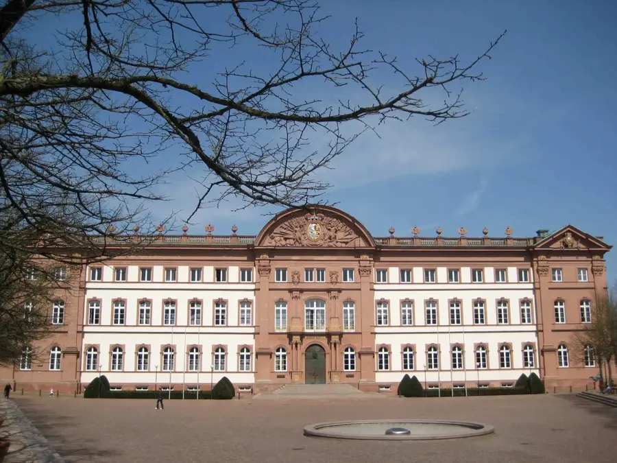
Sights in the town Upper Rhine Plain (7)
Rauhkasten
Rauhkasten is a mountain in Germany, in the Black Forest.
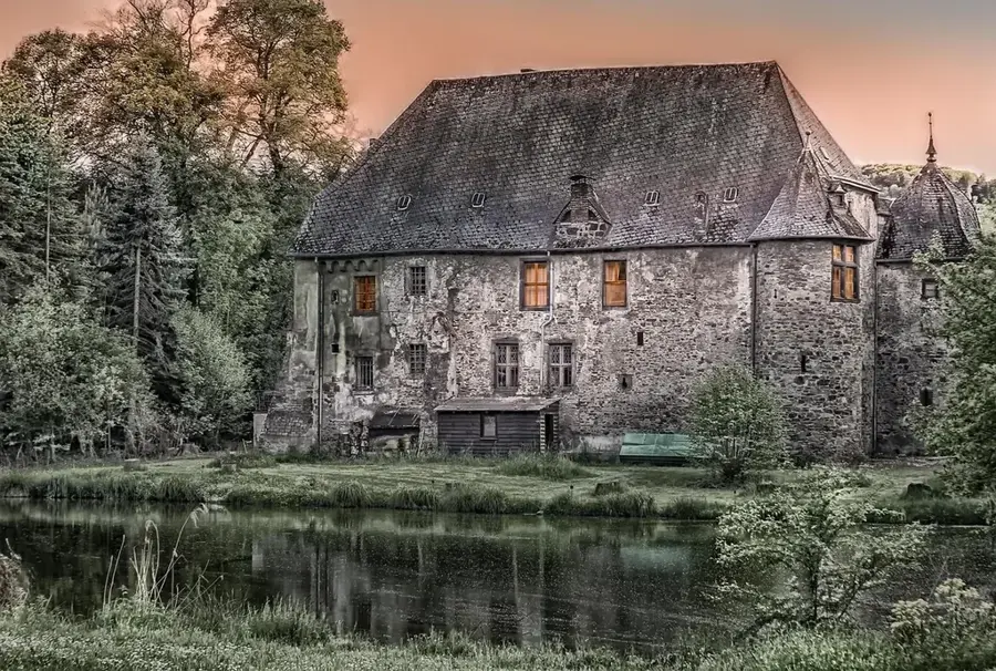
Alt Geroldseck (Rauhkasten)🏰 castle
Castle ruin in Ortenaukreis, Germany, located on the Rauhkasten mountain.
Ruine Diersburg
Castle ruin in Germany, remains of a medieval fortification.
Sights nearby
Frequently asked questions
What characterizes the Upper Rhine Plain?
Which cities are located in this plain?
Is it good for cycling?
What is culinary special here?
Are there nature reserves?
Upper Rhine Plain: where is it located?
Upper Rhine Plain: what is there to see?
Upper Rhine Plain: when is the best time to visit?
Upper Rhine Plain: why is it worth visiting?

Nearby cities